In late summer and early autumn, my classmates gathered on the coast of Bohai Sea, and then traveled with a group to Xinjiang

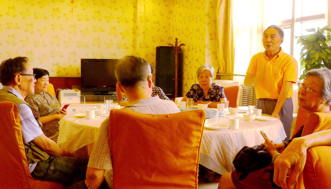
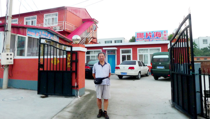
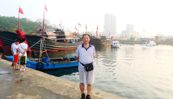
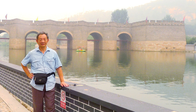
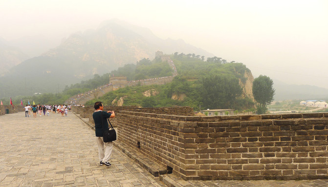
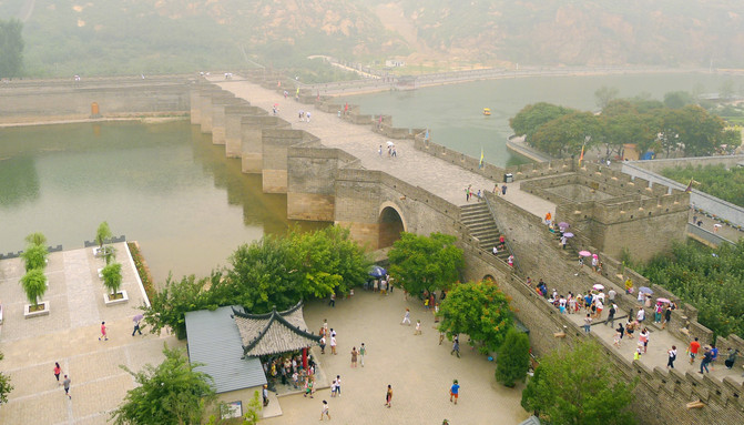
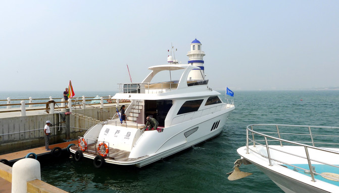
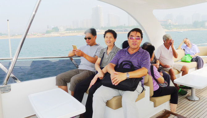
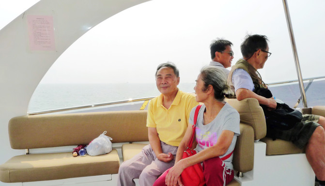
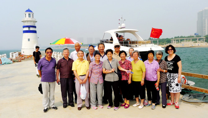
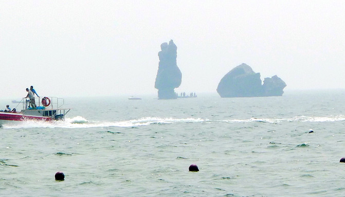
The class party lasted for four days. From August 18 to 21, the entire event was planned and organized by Chen M.Y., the former class party leader, and Ma X.Z., the second party secretary. The party venue was "Dongdaihe" in Suizhong County, Liaoning Province, located on the coast of the Bohai Sea. Get on the bus immediately after lunch. It is still the same rule for old classmates to gather together, class cadres are still class cadres, and "small people" are still "small people". I used to be a "small person", so I didn't worry about anything this time and let the class cadres make arrangements. Arrived at Dongdaihe at 18:00 that day and checked into the "Napanhai Farmhouse" near Suizhong Power Plant. There was a guest room for two people, and the conditions were decent. Our residence is only 200 meters away from the sea, and there are also scenic spots such as the "Jiumenkou Water Great Wall" and "Jieshi Palace" nearby. We also chartered a luxury yacht and sailed into the sea for a tour. "Shanhaiguan" is also close at hand, but it failed to make a trip as expected. The chartered car driver (Beijing) refused to go, claiming that it was not easy for vehicles from other places to park.

After the party and returning to Beijing to "break up the group", I went to Xinjiang with X.D. and Y.C. The three of us once lived in a courtyard in Beijing and can be regarded as "childhood friends." Xinjiang has a vast territory, and everyone advocates "following the tour". The two of them contacted a project called "Dream Kanas": a 10-day two-bedroom tour of Urumqi, Kanas, Karamay, Devil City, Turpan, and Tianchi. The basic tour fee is 3280 yuan, and the travel agency is responsible for ensuring the sleeper train between Beijing and Uzbekistan.
On the morning of August 25, I found a travel agency delivery person at Beijing West Railway Station. With my ID card, I received three Z69 hard sleeper tickets (Beijing West → Urumqi South), two upper bunk and one middle bunk. I also received three Z70 hard sleeper tickets back to Beijing from Urumqi, all of which were lower bunk beds. Then, he used his ID card (over 70 years old) to wait at the station's "Mother, Child, Elderly, and Weak" area, went to the special ticket gate, and boarded in advance. Z69 is called the "Xinjiang Tourism", the Urumqi crew, and the new YW25T hard sleeper carriages are all semi-enclosed private rooms, and toilets can also be used during stops. Departs from Beijing at 10:00, passes through Shijiazhuang at 12:40, stops for 25 minutes, arrives at Taiyuan at 15:03, stops at Luliang at 16:32, crosses the Yellow River at 17:02, arrives at Dingbian at 19:49, and then enters night driving.
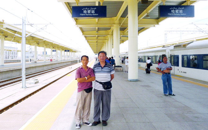
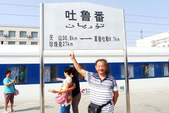
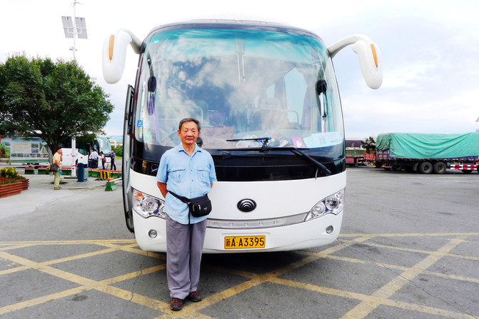
On August 26, we passed through Jiayuguan at 6:51 in the morning, passed through Liuyuan at 9:51 (Dunhuang changed trains here), passed through Hami at 13:02, stopped in Turpan at 16:44, and arrived at Urumqi South Railway Station at 18:19. The local tour guide held the "Dream Journey" flag to greet him at the exit. After counting the number of people, he led the bus and drove to the "Western Region International Hotel" in Tianshan District of Urumqi. The tour guide introduced on the bus that his surname was Zhang and the bus driver was Li. They would be the two of them serving us in the future.

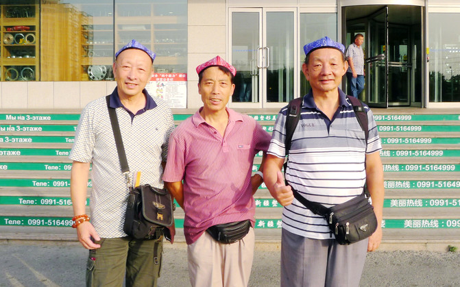
Each person will be given a Uyghur hat. When arriving at the hotel, they will take a group photo in front of the door and then arrange the room. We have a three-bed standard room. According to the contract signed in advance, the tour group is not responsible for our lunch and dinner in Urumqi, but only breakfast will be provided by the hotel. Therefore, we had dinner at our own expense that day and chose to eat "big plate chicken". The whole chicken plate was 90 yuan, and an extra portion of noodles was 10 yuan. The three of us could have enough. The restaurant is right opposite the hotel. The owner is a Hui native of Tianshui, Gansu. "Western Region International Hotel" is located in the old city of Urumqi. The residents nearby are mainly Uyghurs. After a stroll, the streets are full of faces of "Europa people". It is bustling and full of peace and harmony.
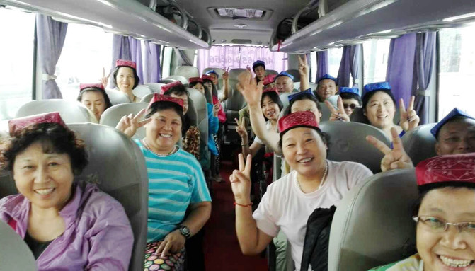
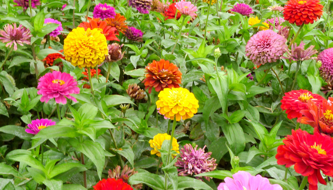
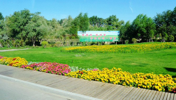
On August 27, I got up at 6:00, had breakfast at 6:30, and left at 7:00. The sky was still dark. Because I was the oldest, I was regarded as the "old man" by the group members. The tour guide also specially arranged for me to sit in the first row on the right, which was the best viewing seat in the whole car. The car left the city and headed westward along the G30 Lianhuo Expressway. It stopped at 8:36 at Wugongtai Service Area in Hutubi County, Changji Hui Autonomous Prefecture. The flower beds here are very beautiful.

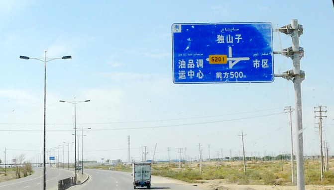
Shortly after taking the road again, turn into Provincial Highway S201, head west and then north, heading towards Karamay. The tour guide began to deliver a speech, emphasizing that Xinjiang's winter is long, and tour guides can only work for a few months a year. It is very difficult to make money. He is nearly 30 years old and hasn't gotten married because he has no money. He admitted that tour guides would benefit from tourists 'consumption, but was never as profiteering as some reporters claimed. The next step is to recommend self-funded tourism projects. Most of them are the same as what we were told when we joined the group in Beijing, but the attractions in Kanas have been greatly reduced and we have not gone to "Hemu" and "Black Lake", and the saved time is used to visit the "China-Kazakhstan Border Post","Baisha Lake" and "Mingsha Mountain". These places are all under the jurisdiction of the Xinjiang Production and Construction Corps. The local travel agency is subordinate to the Corps, and the tour guide himself is also a child of the Corps."No fertile water flows into the fields of outsiders" should be his purpose. A total of another 1330 yuan will be paid for the full set of self-funded projects, and forms will be issued on the spot, requiring everyone to sign and express their opinions. I signed and paid immediately, and the vast majority of the group also paid in full. Only a few people were unwilling to participate in some of the projects. The tour guide also accepted as soon as they were good and did not say anything.
At noon, turn right at the Karamay entrance roundabout, continue northbound along National Highway G217, and stop for lunch at the "Niujie" in Baijiantan District, Keshi. According to the contract, lunch and dinner are for 10 people at a table, with eight dishes and one soup, and the meal standard is 20 yuan/person. However,"eight dishes and one soup" are true, but they are all vegetarian. Moreover, if the same vegetable is cooked slightly, it will become another dish. The tour guide also greeted everyone in advance. The tour group's meals could not ensure that everyone could eat well, so they could only eat well.
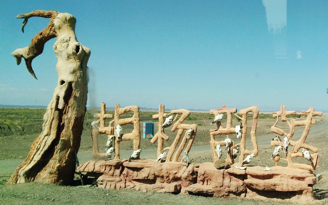
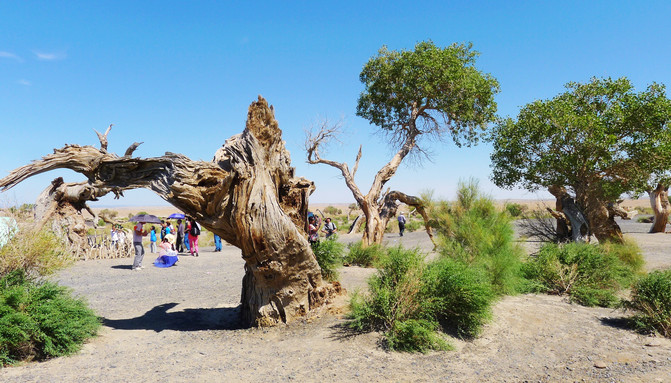
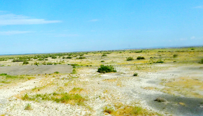
After dinner, continue to take the national highway G217, cross the Jungar Gobi and head north. On the way, you pass the Karamay Oilfield, and you can see the "kowtow pump" coming from here. About an hour later, get off the national highway, turn left, and drive to a self-funded scenic spot called "Populus euphratica Tribe". The main attractions here are "Populus euphratica forest" and "gem beach". Populus euphratica trees are sparse and cannot be called "forest"."Gem Beach" is the vast Gobi Desert. Pebbles of various colors are scattered on the ground, known as "Gobi Jade". The owner of the scenic spot is Uyghur. The hostess studied in a Han school since she was a child. She speaks Mandarin very idiomatic. She told us that the Populus euphratica trees here never grow for thousands of years, never fall for thousands of years after they fall, and never rot for thousands of years after they fall.
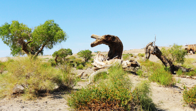
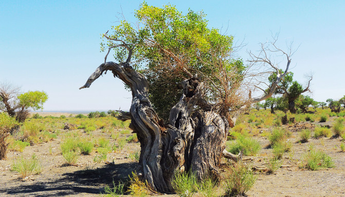
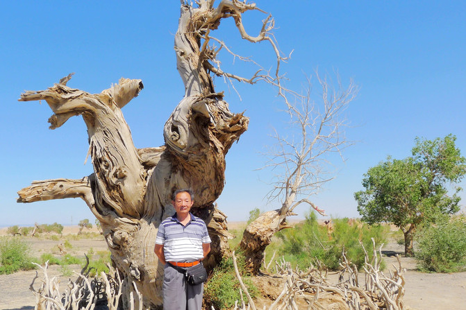
After watching Populus euphratica, he went to search for "gems". X.D. among the three of us has a lot of research on "jade". According to him, the "gems" here are called "gold silk jade", with yellow and red being the best. So, I picked out yellow and red pebbles that could pass through light and picked up a big bag. It is said that there is a more precious "black gem" here. I also picked up a bright black stone with many circular pits on the surface. I suspect it is a meteorite.
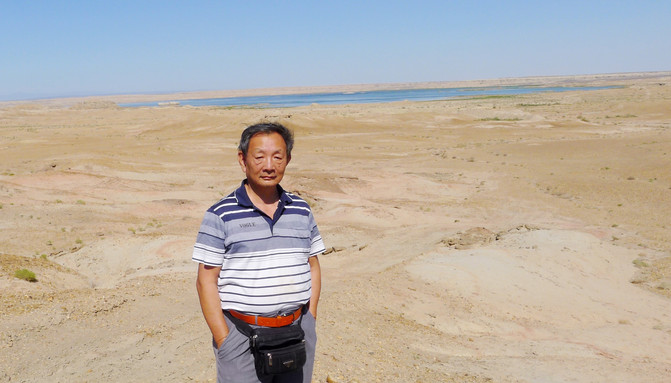
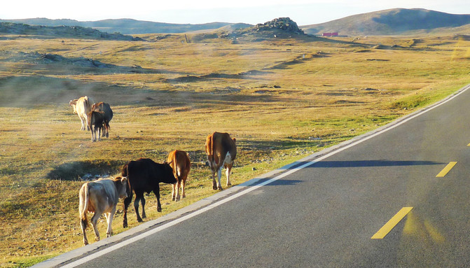
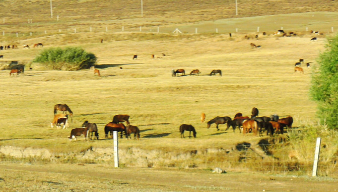
Leave the scenic spot around 16:00, turn back to the G217 National Highway and continue north. About an hour later, pass the "Urhe" entrance and drive onto the G3014 Kuitun-Altay Expressway. The famous Yadan landform scenic spot "Urhe Devil City" is on the right side of the road. In fact, we can see many castle-like mounds on the roadside on the highway, which are called "Yadan" in Uyghur. After that, you will find the vast grassland, where large herds of cattle and sheep are raised. However, the pasture is very short, the sky is gray and the wild is vast, and the wind blows the grass low should allow mice to appear.


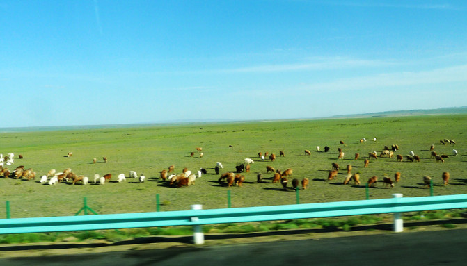

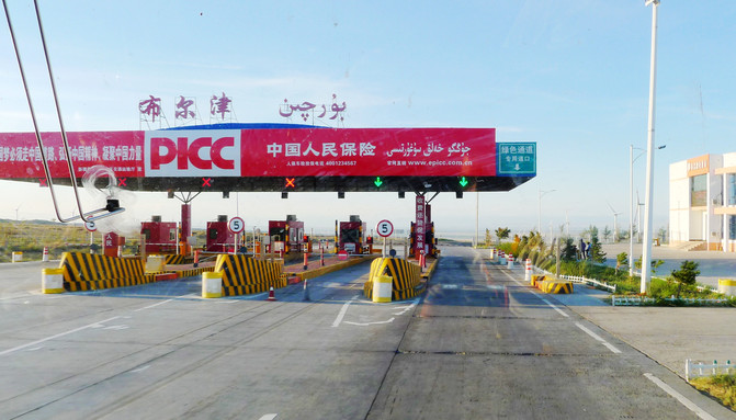
At 19:00, get off the "Kuia Expressway" via the "Bayintuohai Overpass", return to the National Highway G217, and drive north to Burqin. A large area of water appears vaguely at the end of the grassland on the right. The tour guide said that it was "Ulungu Lake", also known as "Fuhai", with an area of 800 square kilometers. It is Xinjiang's famous "Gold Coast" and a famous fishing ground. Moving forward, we encountered low mountain ridges. The tour guide said that we had to cross three mountain ridges to get to Kanas, and this was the first one.
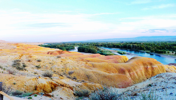
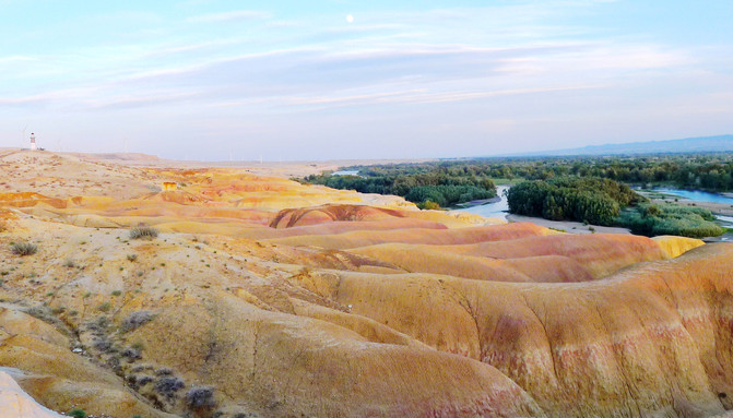
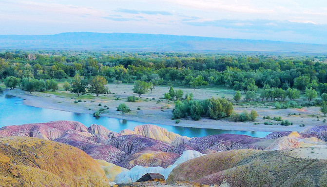
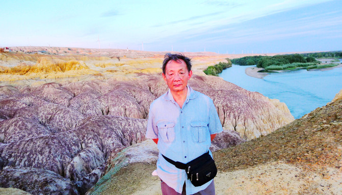
Arriving in Burqin at around 20:00, get off the national highway and not enter the city first. Instead, follow the provincial highway S227 and drive directly to the "Colorful Beach" scenic spot. The Ertysh River flows on the left side of the provincial highway. It is the only river in my country that flows to the Arctic Ocean. Entering the scenic spot at 20:43, the tour guide said that it was privately developed by the owner of Hong Kong. I entered for free with my ID card (over 70 years old). The "Colorful Beach" is located on the bank of the Ertysh River. It is also a Yadan landform. It is colorful and beautiful. However, we arrived too late and the sky became dark before long. However, the tour guide said that he had deliberately chosen this time because the weather was sunny and he could see the sunset and sunset. If it was cloudy, he usually brought the group here the next morning. However, in my opinion, it's a pity that such a beautiful scenery can only be seen in a hurry. The sunset glow doesn't matter. You can see it anywhere, and you don't have to come to the bank of the Ertysh River.



After leaving the scenic spot at 21:35, it was already dark around. I drove into Burqin County and arranged dinner at the "Sutong Holiday Hotel". As usual, it was "eight dishes and one soup", and as usual, it was all vegetarian food. It was 22:30 after dinner, and we arranged accommodation at the "Burqin County Commercial Hotel" and we still got a three-bed room. Y.C. and X.D. have the habit of taking a walk after dinner, but I seize the time to take a shower and tidy up the house. It was early the next morning when the two returned. They claimed that Burqin's nightlife was very lively. They also found a food street with specialty grilled fish.
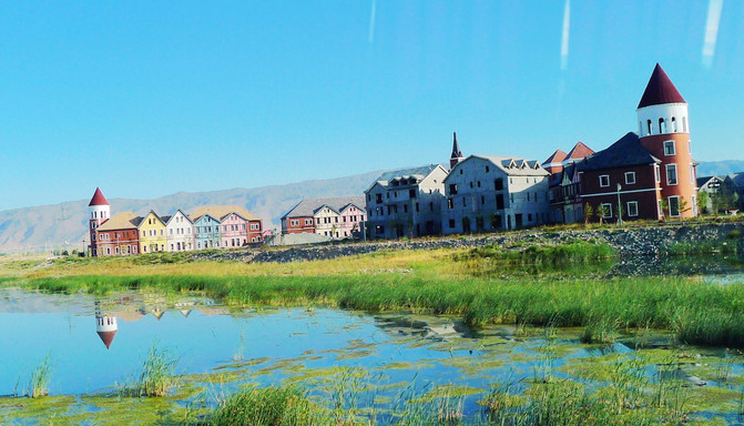
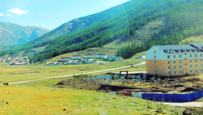
On August 28, today's plan is Burqin → Kanas → Jiadeng Valley. It is still time to get up at 6:00 and have buffet breakfast in the restaurant attached to the hotel at 6:30. The only meat dish is eggs, and each person is limited to one. After dinner, follow Provincial Highway S232 north to Kanas. At 8:20, you cross the second Altai Mountains. Behind the mountain is the largest "Chonghu Township" in Burqin County, with Kazakh residents. The rural cottages are all very beautiful. The tour guide said that they were funded by the government to develop the "new countryside". We stopped at the tourist development zone in "Chonhuer Township". The buildings were all Russian-style and there was also a small supermarket nearby. The tour guide suggested that everyone replenish some food, because further forward was "Kanas", and prices were extremely high.
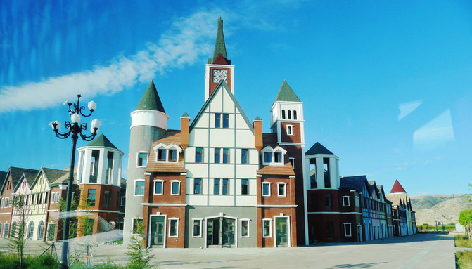
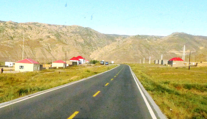
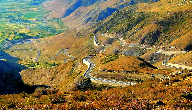
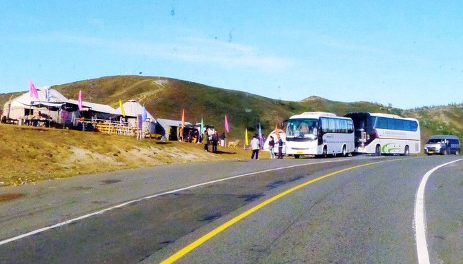
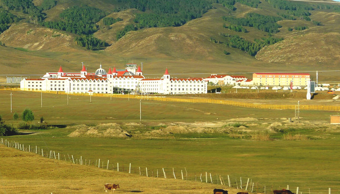
Shortly after continuing on the road, beautiful huts with red roofs and yellow walls appeared on the roadside. All of them were of uniform specifications. They were winter bases for herdsmen, commonly known as "winter nests", and were also built with government funding. At present, all herdsmen are in the mountains. The mountains are closed by heavy snow in winter, so herdsmen have to go down the mountain for the winter. The next step is to cross the third Altai Mountains. This mountain is relatively tall and the road is also winding. It is the famous "66 Turn" of Provincial Highway S232. Arriving at the top of the slope at 9:34, I saw several white yurt houses on the roadside and tourist buses parked. It was probably an attraction. Walking further, you will see "Kanas Airport" with white walls and red spires, also in Russian style. There is also a "Russian village" nearby. The residents are all descendants of White Russia who fled in the 1920s. Now they have become a member of the 56th ethnic group in China. They do not use bricks and tiles to build their houses, but are all built of logs.
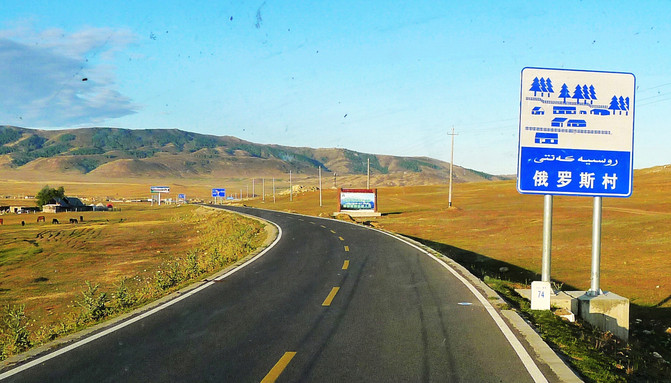

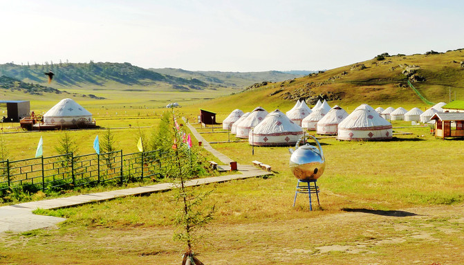
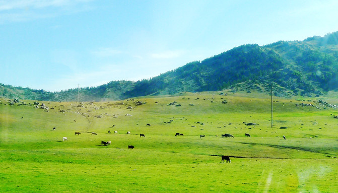
At 10:05, passing through the Agonggeti Grassland Stone People Scenic Area, the "Kazakh National Cultural Park" has been built. There are felt houses for accommodation, parking lots, wooden boardwalk, shopping shops and necessary sanitation facilities. However, the tickets are extremely expensive, 198 yuan/person. We just parked and rested outside the door, but did not enter to visit. After 10 minutes, we continued on the road and drove up the high slope. Under the slope was the vast grassland. The tour guide called it "Shangri-La, Xinjiang". Driving through the border checkpoint at 10:42, the tour guide declared that it was a Beijing tour group and was immediately released.
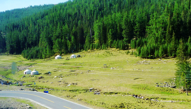
Then we drove into the Kanas forest area, and tall "tasong" began to appear on the roadside. At 11:12, we passed through Jiadeng Valley. This was originally just a small village. Foreign bosses came to invest and build it into a tourist resort. Tour guide Xiao Zhang said that there is only a few months of prosperity here every year. The winter temperature drops to more than minus 40 degrees, and there is basically no one in the resort. Arriving at Kanas Scenic Area at 11:17, the team bus can only be parked outside the scenic area, and there are also transportation vehicles in the scenic area. I enter the scenic spot for free with my ID card (over 70 years old), but I still need to purchase a transportation ticket.
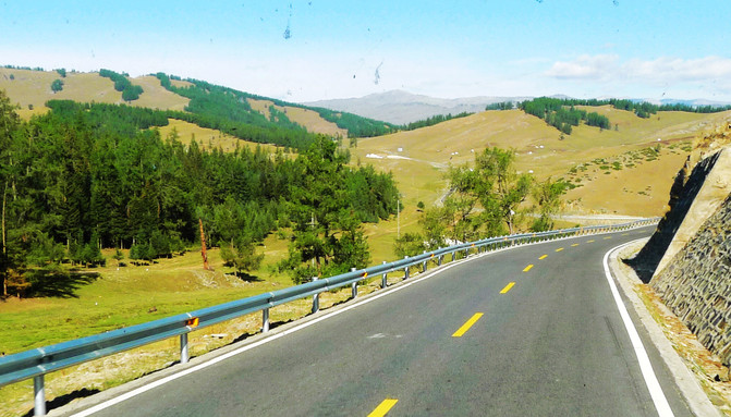
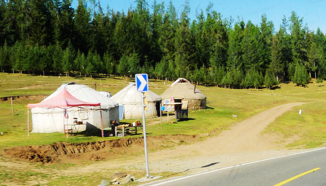
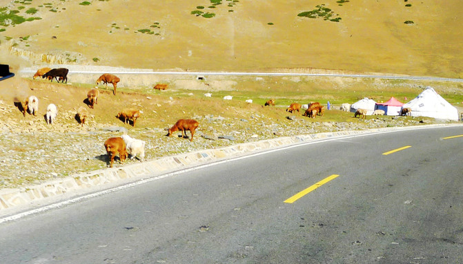
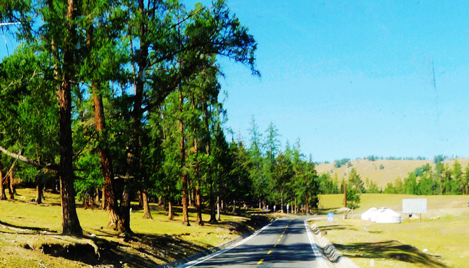
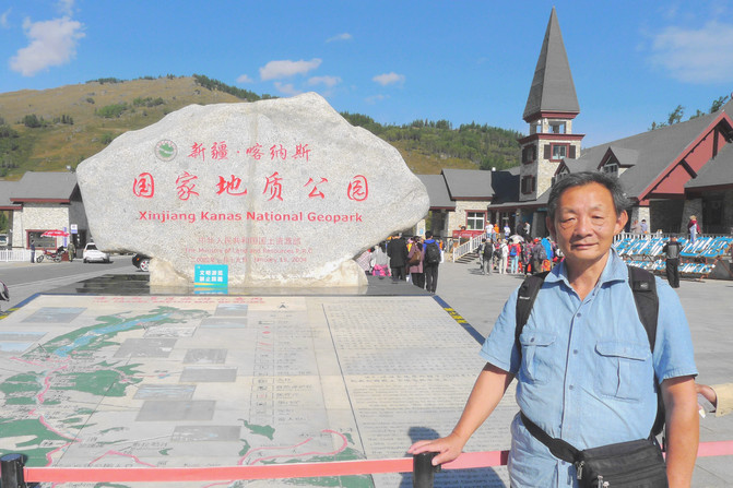
Enter the scenic spot around 12:00, follow the guide, take the transportation bus, and drive north along Provincial Highway S232. Charming scenery flashed past the window from time to time, and Kanas Lake reappeared from time to time. The local car-following guide in the scenic area introduced the scenery outside the window all the way. We drove through Tuojing Bay, Kanas River Bridge, Wolong Bay, Moon Bay, Shenxian Bay, and finally arrived at the "Transfer Center". There are transportation buses to different attractions in the scenic area, but tickets must be purchased separately for each line. Get off the bus and have lunch first. It's still eight dishes and one soup, and it's still all vegetarian.
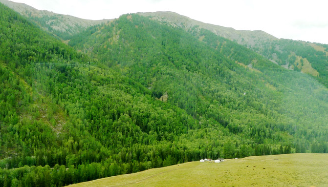
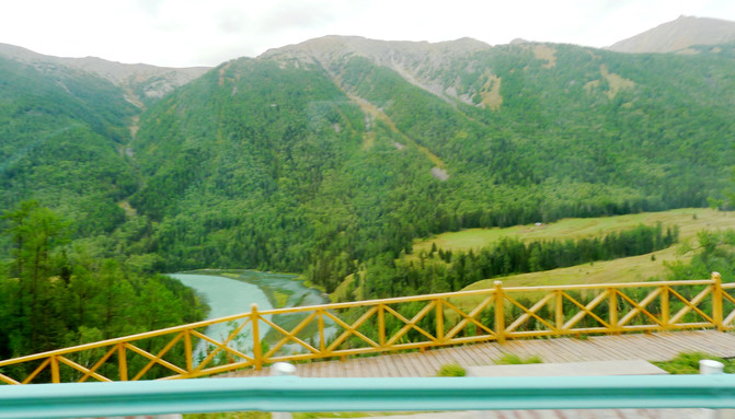
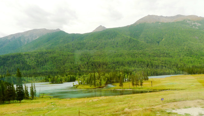
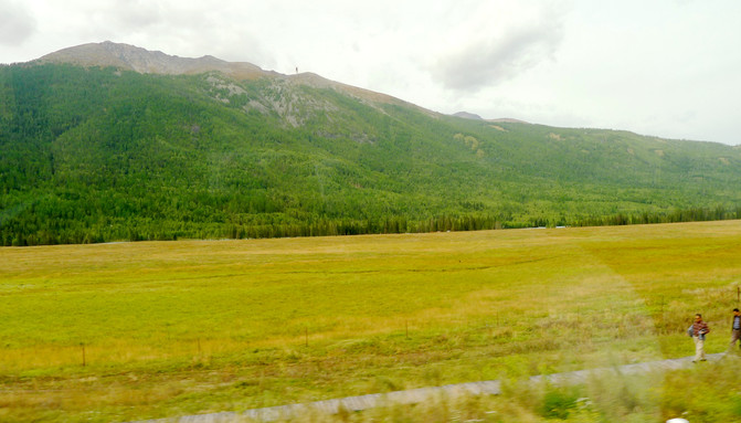
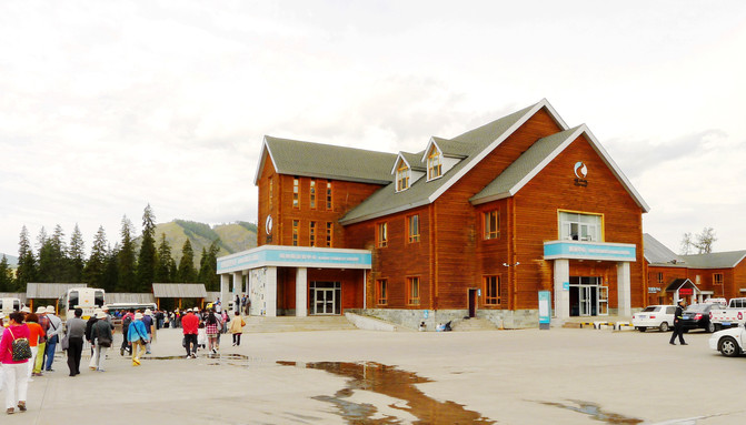
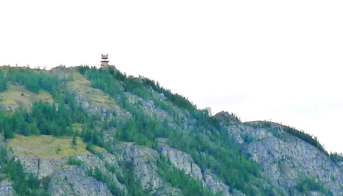
According to the guide's arrangement, we only had one afternoon trip in Kanas: boat tour of Kanas Lake; visiting Tuva's family; and then scattered and free activities. After lunch, there is a "boat tour". Follow the guide to take a bus from the transfer center and cross a Tuva village. After getting off the bus, we will walk through forests and grasslands, and then the cruise ship terminal. The scenery along the way is very beautiful. The famous "Fish Watching Pavilion" is on the top of the high mountain in the distance. It is said to be the best place to watch the "lake monsters". However, there are only a few people who are really lucky enough to "see" the lake monster so far. Moreover, there are frequent cruise ships on the Kanas Lake. Even if there are lake monsters, they probably won't dare to show their faces.
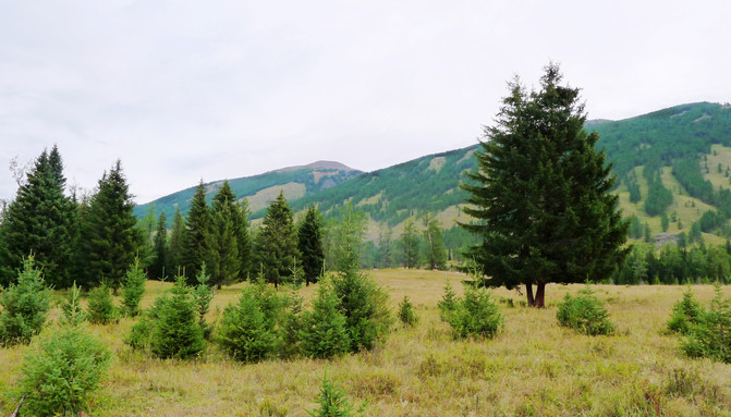
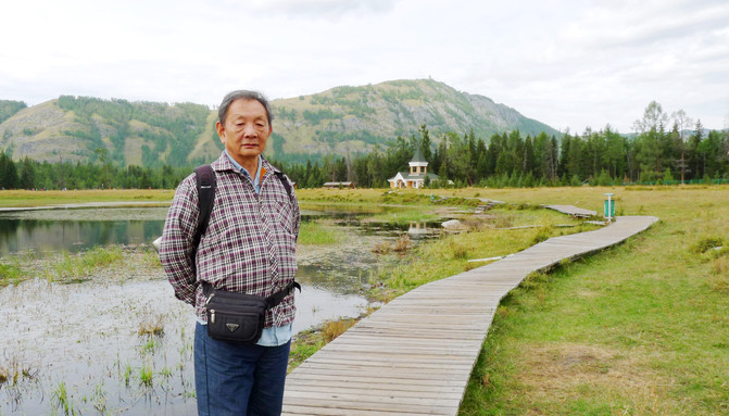
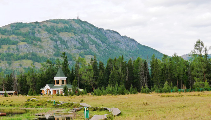

Kanas Lake is located deep in the Altai dense forest. It is the deepest moraine barrier lake in China and the only Arctic Ocean water system lake in my country. The lake surface is generally long in shape, which can be called a lake or a river course. The Wolong Bay, Moon Bay, and Shenxian Bay that we passed by by car when we came here have narrow water surfaces. I think they can only be counted as the "Kanas River". The water surface where people and boats can swim is relatively wide, which is the real "Kanas Lake".
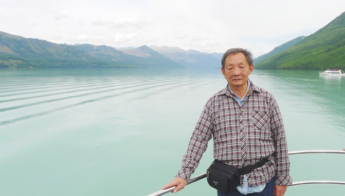
Boarding the ship at 14:15, driving north for about half an hour, stopping the ship, arranging tourists to board the top deck to view and take photos, and then returning to the cruise ship terminal the same way. The whole journey is about one hour. "Kanas" is a famous color-changing lake. The color of the water surface changes with sunshine, rain, spring, summer, autumn and winter. As we sailed all the way, we also noticed that the color of the lake was sometimes slightly blue, sometimes slightly milky, and sometimes slightly green. This is because there are plateau blue skies and white clouds above the lake, and there are lush mountains around the lake. Different colors of light and dark alternate in the lake. When viewed from different angles, it will produce colorful and changing effects.

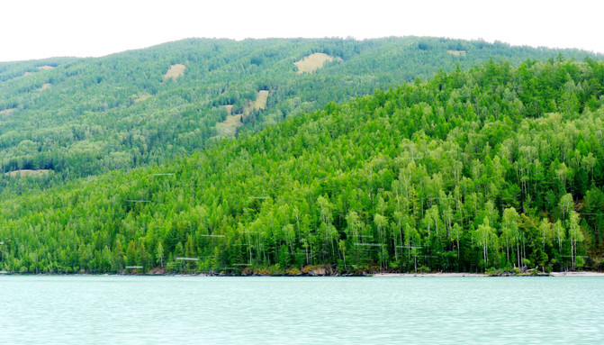

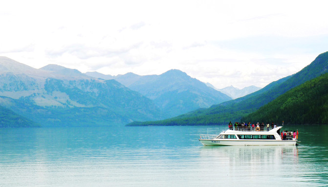
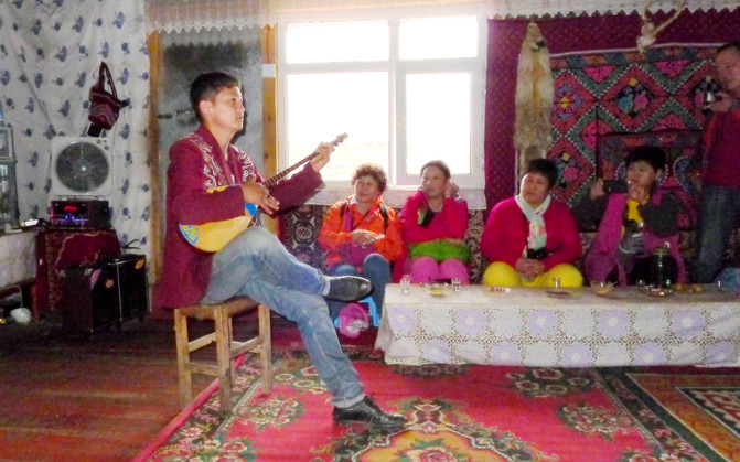
Next is the "Tuva People's Home Visit", which is the village I just passed by. There are only about 2000 Tuva people in China. They all live near Kanas and are a branch of the Mongolian people. As for its origin, there are three main theories: one is that they migrated from Siberia 500 years ago; the other is that they migrated from Outer Mongolia 400 years ago; the third is that their ancestors followed Genghis Khan's Western Expedition and came here to be ordered to stay behind, and after generations of reproduction, they formed today's Chinese Tuva people. The "home visit" is a self-funded project and is expensive. A woman introduces Tuva's customs and history, and then two young men perform musical instruments and dances, totaling about an hour.
This was followed by decentralized activities. The group members could group themselves, either on foot or by taking the scenic area transportation bus, retrograde along the original road of the Kanas River and return to the gate of the scenic area. The tour guide said that you can get on and off at Shenxian Bay, Moon Bay, Wolong Bay and other scenic spots at will by taking a bus, but you should remember that the last bus is 20:00, and the team will also gather in the scenic spot parking lot at 20:00.
We took a bus at the transfer center again and arrived at Shenxian Bay at 17:18. After getting off the bus, we found that the observation deck was separated from the Kanas River by a vast grassland and blocked by barbed wire. We couldn't reach the water's edge at all. The three people couldn't help but be disappointed. X.D. was particularly excited and advocated getting on the bus again immediately and rushing to the next attraction. However, Y.C. and I both believe that when we came to Xinjiang this time, Kanas was the top priority. The tour was compressed into half a day, and one hour was spent sitting and listening to the "lecture". I have long felt wronged. If I arrive at the scenic spot now, if I don't take a photo of "Here to Visit", wouldn't it be even more futile? So he insisted on staying. When X.D. saw that we didn't listen, he was angry but had nothing to do. He took the bus alone and rushed to the next attraction,"Moon Bay".
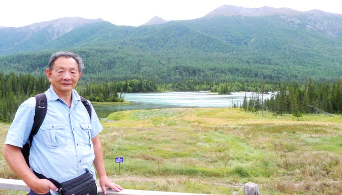
It was still too early to take photos, so Y.C. and I decided to give up riding and move along the boardwalk, play, take photos, and walk to Moon Bay. The wooden plank road meanders under the tall and straight tower pines, and it is extremely quiet in the dense forest. I only occasionally meet a few tourists who are also on foot. However, this section of the plank road always avoids the Kanas River far away and never walks by the water, which makes us feel lost again. While walking, I received a phone call from X.D.. He had been waiting for us in Moon Bay for a long time, so he decided not to wait any longer. He also walked along the boardwalk to the next attraction, which is Wolong Bay.
After walking for about an hour, we arrived at Moon Bay and accidentally saw the tour guide Xiao Zhang. He saw us walking on the bus and felt uneasy. He deliberately got off the bus at Moon Bay and waited for us to come. Moon Bay is regarded by many people as the best scenic spot on Kanas Lake. Its river course is sandwiched by high mountains on both sides of the river, drawing a beautiful arc along the mountains, looking like a crescent moon in the sky, so the bay is called "Moon Bay". The observation deck is built high on the lake and is still quite far away from the water. Standing on the stage and looking down, the blue crescent moon seems to be close at hand, and it makes people think about it all.
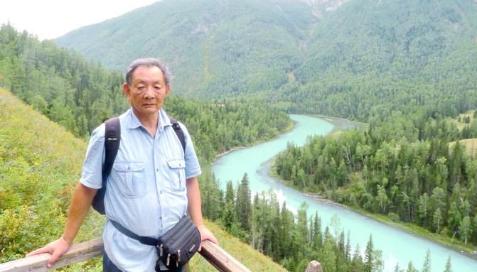
Taking photos at Moon Bay and receiving a phone call from X.D., he had arrived at "Wolong Bay". It was said that the plank road from "Moon" to "Wolong" had a long section of water and the scenery was very beautiful. However, Y.C. and I never had the opportunity to experience it again, because no other group members were on foot, and we have now become the tail of the team. The tour guide specially stayed behind to prevent us from becoming a burden. Moreover, it is now the last time for transportation, and scenic area personnel have begun to shout to dissuade tourists from walking on the plank road again. So, Y.C. and I had to obediently follow the tour guide and take the bus. We arrived at Wolong Bay around 19:00, and immediately saw X.D.. When we walked on the boardwalk this time, Y.C. and I should have miscalculated, but X.D. was "lucky". "Wolong Bay" is named because there is a sandbar in the middle of the river, which is said to look like a "Chinese dragon". However, when I look horizontally and vertically, I don't think it looks like it. It makes sense to call it a "dinosaur".


We left Wolong Bay at 19:10, took a bus straight back to the gate of the scenic spot, and then boarded our own tourist bus. We arrived at "Jiadengyu" Village about 10 minutes later and checked into the "Green Hotel", which was still a room for three people. In the evening, I ate in the hotel restaurant, which was still vegan, except cabbage, celery, green peppers, potatoes, and tomatoes. No matter where we go, the dishes are always the same and the taste is the same.
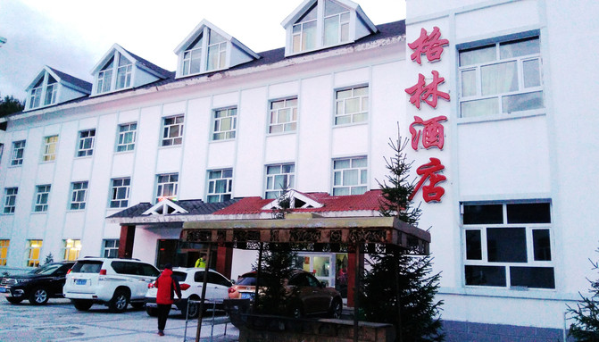
On August 29, you get up at 6:30 and set off without breakfast. You leave "Jiadeng Valley" at 7:10 and drive south along Provincial Highway S232. The hotel prepared food such as rolls, Xinjiang roasted naan, fried peanuts, pickles and boxed milk for us. The tour guide said that we would eat them halfway. It was just dawn, and there was no smoke from cooking in the herdsmen's yurt houses. The sun rose after 8 o'clock, and they drove through the Grassland Stone Man Scenic Area, Russian villages, and Kanas Airport one after another.

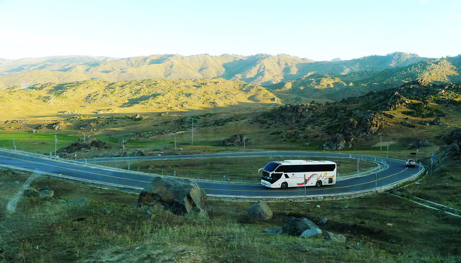
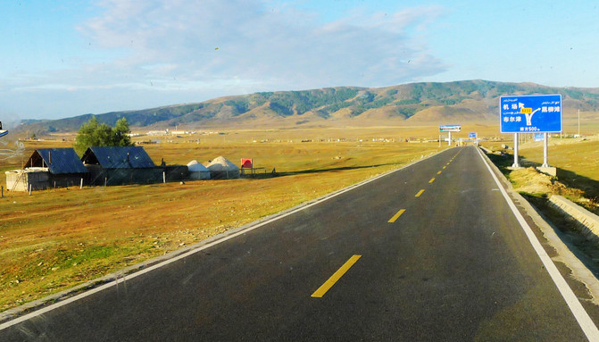
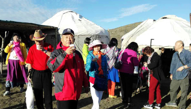
Arriving at 8:50, we arrived at the "Sixty-six Turn" that we had crossed yesterday. The car parked in front of several yurt houses on the roadside at the top of the slope, where the team was going to arrange breakfast. This place is not only a "66 Road Turn" viewing point, but also has stalls selling tourist souvenirs and public toilets and other facilities. It can be regarded as a simple roadside service area. I came from Burqin yesterday and saw a bus stopping here. The owner of the yurt provides tables and chairs for the tour guide to arrange breakfast, and also sells fresh hot milk. Before leaving, I saw the tour guide settling the bill with the owner of the yurt, but I didn't know who was paying whom.
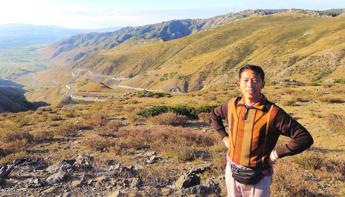
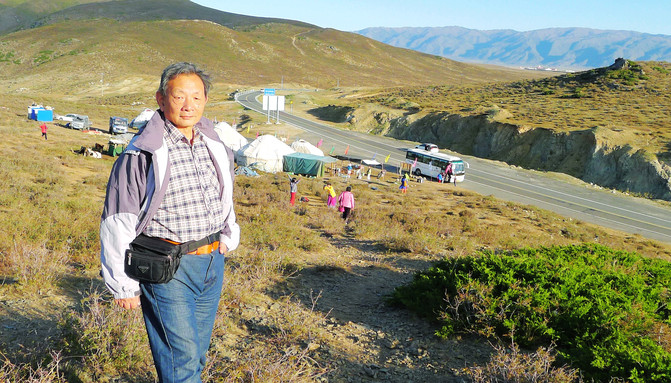
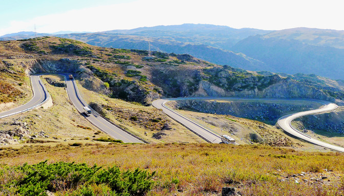
After breakfast, take the "66th Turn" down the mountain, drive through "Chonghu 'er Township", and then cross a mountain ridge, leave Provincial Highway S232 at about 10 o'clock, turn right and drive onto a fork leading to Habahe County. At 10:30, I passed by "Yalaman" and saw a large area of newly built residential buildings on the roadside. They all had red roofs, yellow walls, and iron fences and courtyards with uniform specifications, just like small villas. The tour guide said that this is also a government-funded winter house for Kazakh herdsmen. There is no one at present because the herdsmen are all in the mountains. Not far ahead, I encountered dilapidated houses built entirely of mud. They were the "winter nests" of herdsmen in the past.
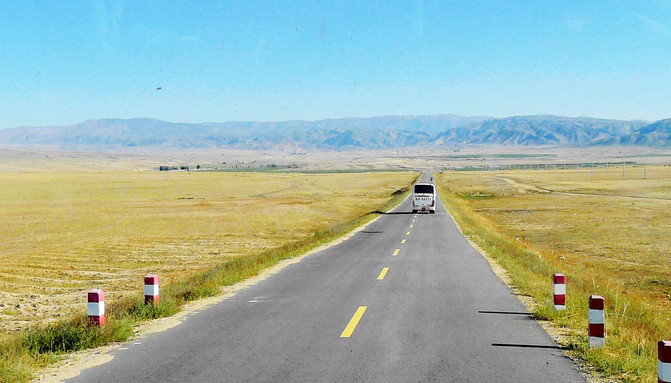
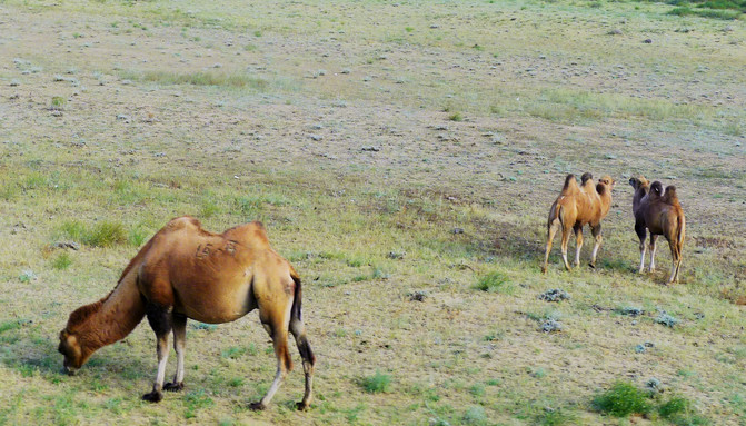
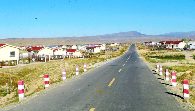
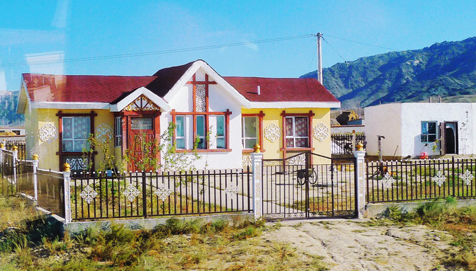
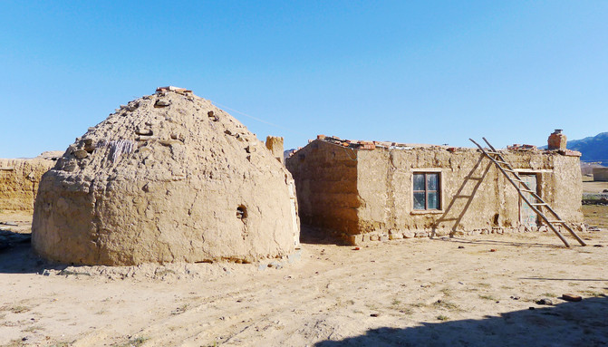
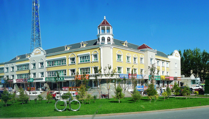
Entering Habahe County at 11:28, most of the houses in the city were in European style. The tour guide went to the border guard brigade to apply for a border pass. The group members got off the bus to exercise their legs and feet, and sold mutton kebabs on the roadside. Days of "eight dishes and one soup" made everyone flock to kebabs. I was just a step behind, and I was all robbed by others.
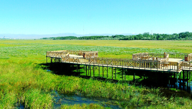
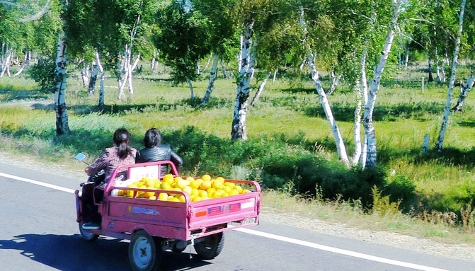
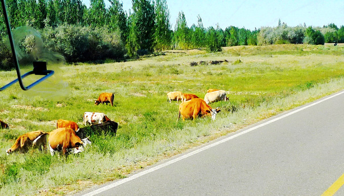
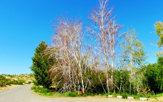
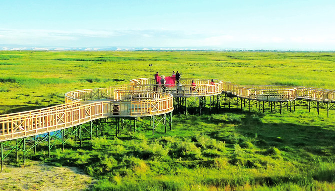
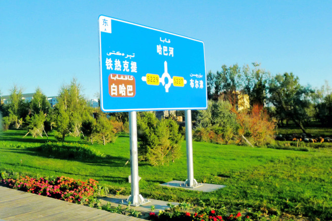
Leave again in 20 minutes, drive out of the county seat, and head west on the Z840 Highway. The countryside scenery of Habahe County is very beautiful, with flowers, wooden plank roads, exquisite observation platforms, and vast wetlands all coming into view. At 11:56, crossing the Haba River, I suddenly saw a large area of white birch forest. The tour guide said that this was the white birch forest scenic spot in Habahe County. In the fertile oasis, flocks of cattle and sheep can be seen everywhere.

Moving forward, you will enter the desert. The road stretches straight into the distance, with barren Gobi on both sides. At 12:37, I saw a large area of water on the left. I thought it was a lake in the desert, but after asking the tour guide, I learned that it was the famous Ertysh River. It originated at the southern foot of the Altai Mountains and flowed westward through Beitun, Burjin, Haba River and other places later entered Kazakhstan, and then flowed into the Arctic Ocean via Russia. The water surface in front of you is a bend in the Ertysh River. The water is clear and blue, and there are green trees and sandbars on the other bank. The scenery is very beautiful. There was a bus parked at the water's edge, and tourists on the bus got off one after another to take photos. Some group members in our car also asked to stop, but Zhang and Li pretended not to hear it. The car sped forward and missed the Ertysh River.

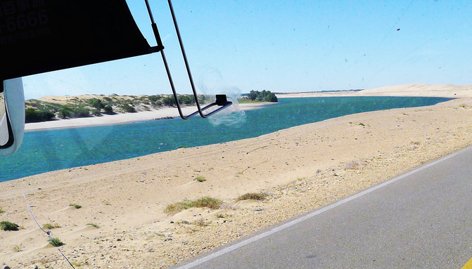
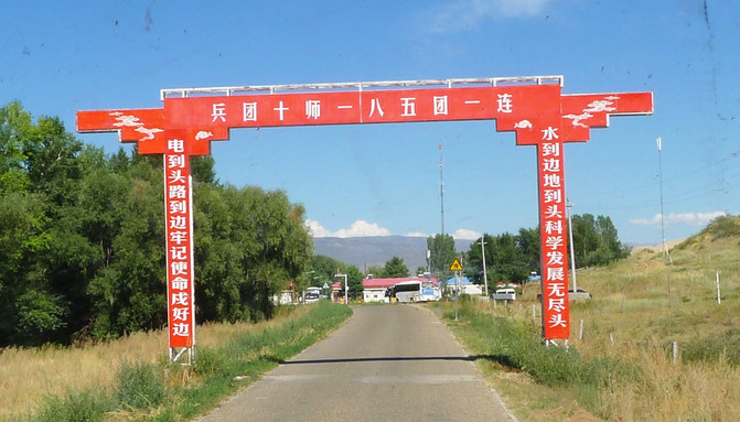
At 12:44, we entered the oasis and crossed the Berezek River (a tributary of the Ertysh River). Along the Berezek River was a long and narrow strip of oasis. We crossed the waist and soon entered the desert again. About 20 minutes later, we will enter another oasis. This is the jurisdiction of the 185th Regiment of the 10th Agricultural Division of the Xinjiang Production and Construction Corps. The oasis is also long and extends north-south along the border line between China and Kazakhstan.


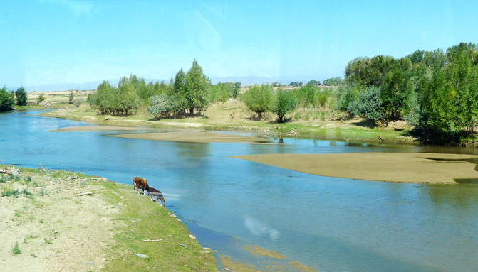
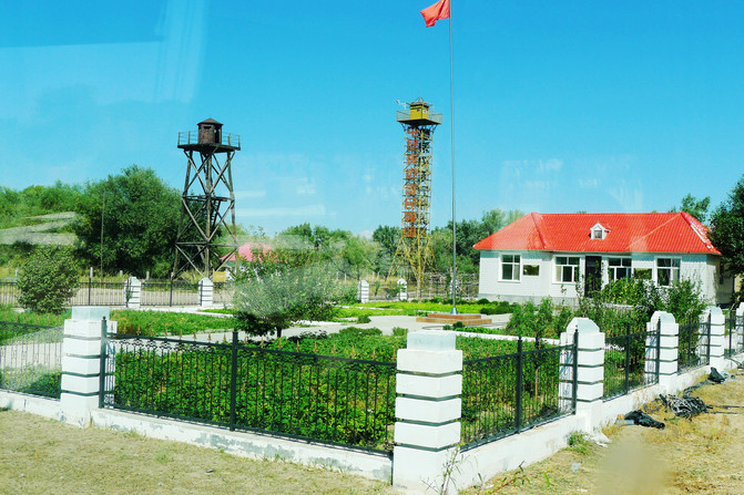
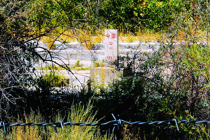
The cars drove forward one after another and arrived at the Sandk militia post at 13:16. Border Guard Ma Junwu and his wife were the only members of the post. This post is more than 500 meters away from the desert in the east and less than 20 meters away from the border river between China and Kazakhstan (Arakbek River) in the west. There are no other residential buildings around dozens of square kilometers. Ma Junwu "only does one thing in his life. I am a defender of the motherland." He has been stationed here for 27 years and autumn. He is a national labor and moral model and has been received by President Xi Jinping twice. The boundary river between China and Kazakhstan is currently in dry water. It looks like a canal in the backyard of a farmhouse. Picking up a translucent yellow pebble by the river is a reminder of once stepping on the western boundary of the country.


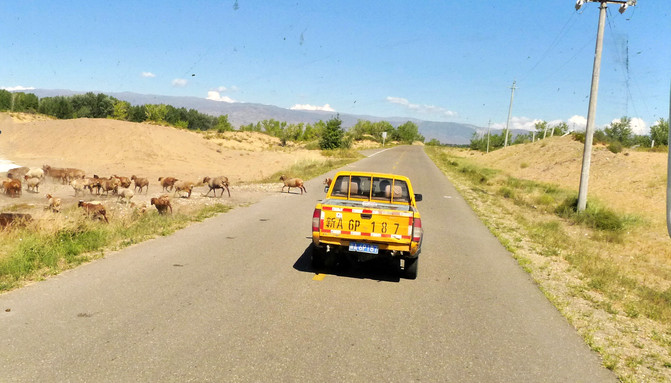
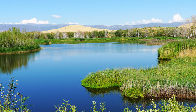
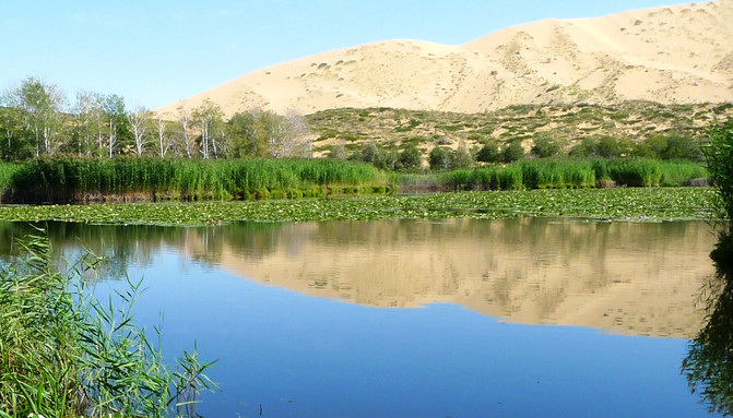
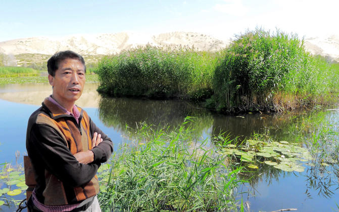
We left the post at 13:52 and continued northbound along the Z840 Highway. At 14:03, we arrived at the Third Company of the 185th Regiment. We had lunch here and enjoyed "eight dishes and one soup" again. The "company" of the Corps is actually a small village with 10 to 20 households. The farmhouses are all of the same specifications, but the farmhouses of different companies have different characteristics. The Sanlian Station is close to the Baisha Lake Scenic Area, so it is also a must-visit for tour groups. Every family runs tours and opens restaurants. After lunch at 14:50, take a scenic bus, drive through the birch forest, and then cross the desert to go sightseeing at Baisha Lake. Baisha Lake is located deep in the desert and is surrounded by sand dunes. Although there is no fixed river channel for water injection, its water quality is clear and the water volume remains unchanged for many years. The source of its lake water is still a mystery. The wooden plank road along the lake is about 1 kilometer long, and the observation deck at the end has a wide view. It is the best place to take photos. Standing on the stage and watching, the lake water looks blue against the clear sky, the surrounding green trees are stacked, the golden sand mountains reflect the water, coupled with reeds and water lilies, the scenery is excellent. Looking into the distance, mountains stretch and white clouds bloom, but it is already within the territory of Kazakhstan.


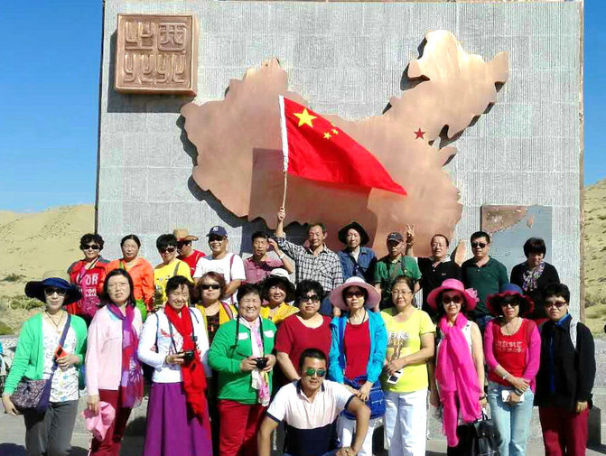
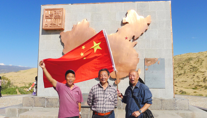
We left Baisha Lake at 15:40, returned to the Sanlian Parking Lot, boarded our own tourist bus, continued to drive north along the border line, and arrived at the 185th Regiment Company at 16:08. This is the northernmost point in the northwest of my country and is called the "North of Northwest". After getting off the bus, visit the exhibition hall first, and then go to the "Northwest North" observation deck. Standing on the platform, you can overlook the exotic scenery of neighboring Kazakhstan. The tour guide organized the whole group to take a group photo on the observation deck, and the three of us "childhood children" also took a group photo holding high the national flag.
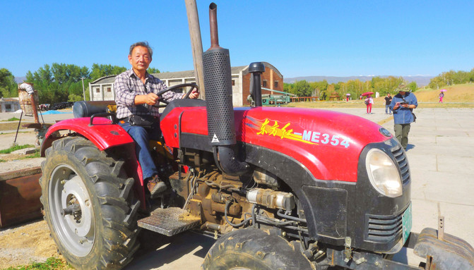
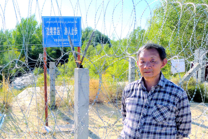
Leave the company at 17:10, turn back the same road and head south, and arrive at "Mingsha Mountain" after driving for about 50 minutes. The scenic area mainly provides various desert amusement projects, which require additional charges and are not suitable for the elderly. We do not participate and are willing to stay outside the door. The scenic area is only less than 10 meters away from the boundary river. The towering watchtowers and dense barbed nets are the unique landscapes of this area.


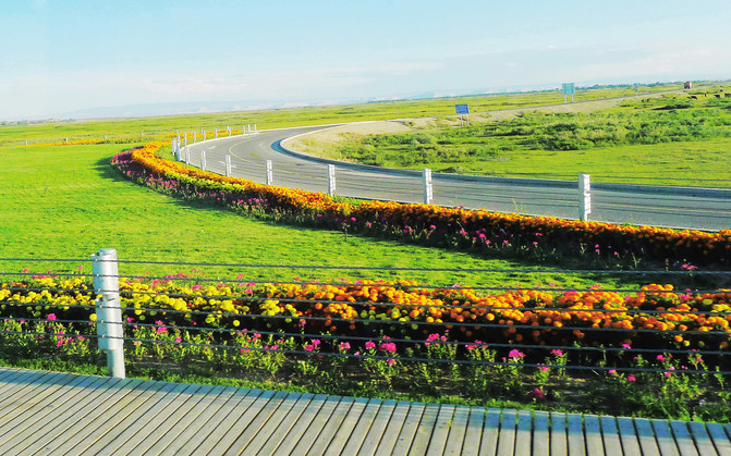
At 18:36, we leave "Mingsha Mountain" and head south along the Z840 Highway, then east, and return to the "Habahe" county seat. The tour guide must go to the Border Brigade to go through the cancellation procedures for border passes. Before entering the city, I saw roads decorated with flowers, beautiful grasslands, wetlands, and herds of cattle and sheep. After the tour guide finished his official work, the car still needed to be refilled. I also took the time to call my home in Xiamen to inform me that I was safe. It was 20:30 and the sun was still high, but it was already dark in Xiamen two hours ago.



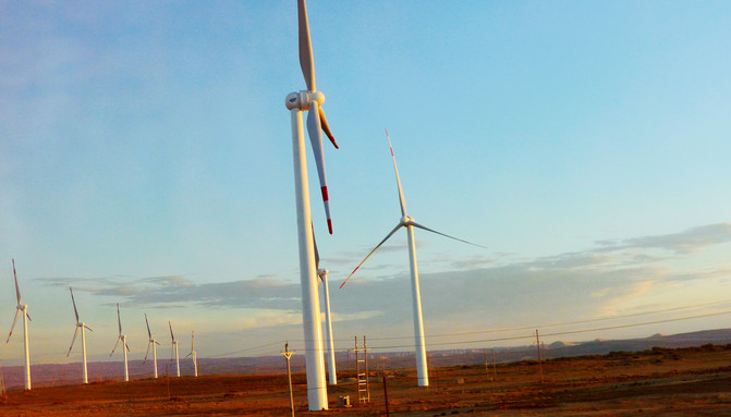
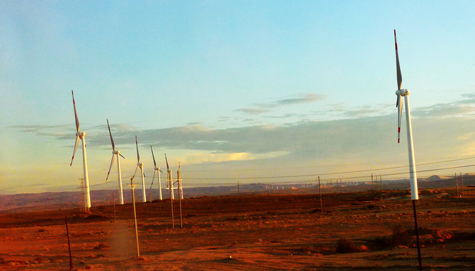
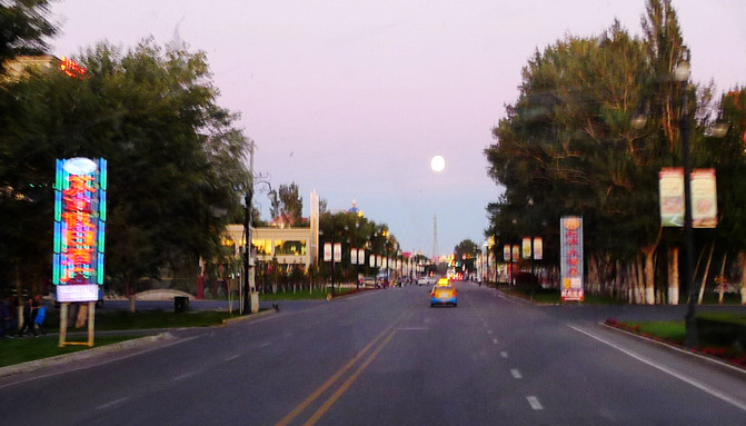
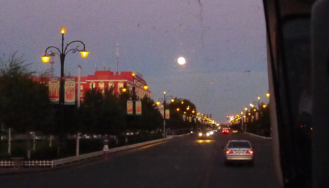
Driving out of the county seat and following Provincial Highway S227 to Burqin, the tour guide reminded everyone to pay attention to the Kazakh beautiful traffic police at the intersection of the city. This is a beautiful local scenery. However, we were unlucky. The one we met on duty was a handsome guy. At 20:50, after passing through the Colorful Beach Scenic Area in Burqin, there is a wind farm nearby. The sun sets in the west and the ground is red-brown. At 21:12, the bright moon was hanging high in the sky when entering Burqin County. Soon after, it would be completely dark. Stayed at the "Burqin County Business Hotel" again, and the dinner was still "Xinjiang specialties eight dishes and one soup." After dinner, the three of them went out together and tasted the famous charcoal-roasted Phu Sea Dog Fish and mutton kebabs at the local night market for a total of 75 yuan. I still wanted to eat pilaf, but others thought it was too oily and had to give up.

On August 30, I got up at 6:00, enjoyed the hotel's free breakfast at 6:30, and boarded the train and set out at 7:10. The tour guide claimed that there were no tours all day today, and the only arrangement was to return to Urumqi. The car follows G217 south, takes the G3014 Kui-a Expressway at Bayintuohai Overpass, and takes the Baijiantan Exit at 11:42 to enter Baijiantan District of Karamay City. Lunch is still arranged in "Niujie", and it is still "eight dishes and one soup".

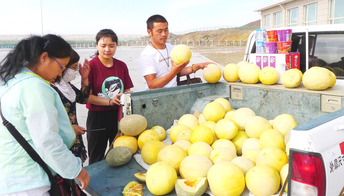
There are hawkers selling Gobi jade and stone carving handicrafts everywhere in Xinjiang, and there are also many "Niujie". X.D., one of the three of us, is an enthusiast for stone appreciation and believes he has considerable appreciation skills. Every time we encounter these stalls, we have to watch them one by one and compete with the stall owners with great interest. There was a stall displaying a beautiful red stone, the size of a fist, identified by X.D. as "Brazilian agate". This statement was immediately echoed by the stall owner, who repeatedly praised him as a true expert. X.D. was proud and also asked for a price. The stall owner offered 200 yuan, but X.D. casually offered 100 yuan. Unexpectedly, the transaction would be completed immediately, so he had no choice but to pay. Later, I analyzed that if such a beautiful agate gem was really produced in Brazil, shipped to China, and then shipped to Xinjiang, it would never have been sold for only 100 yuan. It was cheaper than the Gobi stone (or gold silk jade) produced locally in Karamay. It was speculated that it was actually a glass replica, and X.D. disdained to comment on my speculation.
Set off again after dinner, turn to the south along National Highway G217, turn to Provincial Highway S201 at the Grand Turntable at the entrance of Karamay City at 13:02, head south and then east, and then pass the Wugongtai Overpass on the G30 (Lianhuo) Expressway and head towards Urumqi. Enter the city around 19:00 and go straight to the "Forst Fujite" jewelry and jade store on Zhongshan Road. I had no interest in jade articles. After a while, I walked around the store with several group members and talked loudly. The tour guide quickly invited us into the side room and asked the waiter to bring tea. He suggested that we sit down and rest. Read the newspaper, and don't wander around or talk nonsense, which will affect others 'shopping mood. For tour guides, shopping is far more important than visiting scenic spots. Therefore, although we are busy walking around various scenic spots, we have plenty of time for shopping. As long as there is still one person who is not able to enjoy it, the tour guide would rather leave the entire team hanging. Wait aside. In addition to being bored, the few of us walked out of the store to watch the street scene. We didn't want Uyghur men here to forcibly sell jade stones, and even if they avoided the car, they would catch up with it.
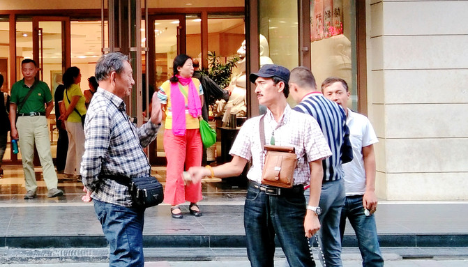
Returning to the "Western Region International Hotel", I insisted on having pilaf for dinner. The other two people firmly opposed it and had to eat separately. There is a chain restaurant "Kai Di Rui Mansah" on Fukang Street nearby. Go in and choose the "Olive Oil Mansah" set meal for 30 yuan, and add two mutton kebabs for 12 yuan. The pilaf is delicious, as well as small dishes and yogurt, but the amount is too small and I am not full. However, I later learned from the Internet that it turned out that eating pilaf in Xinjiang can be replenished for free.
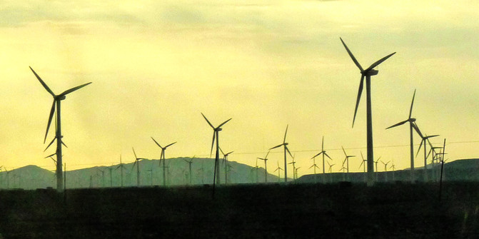
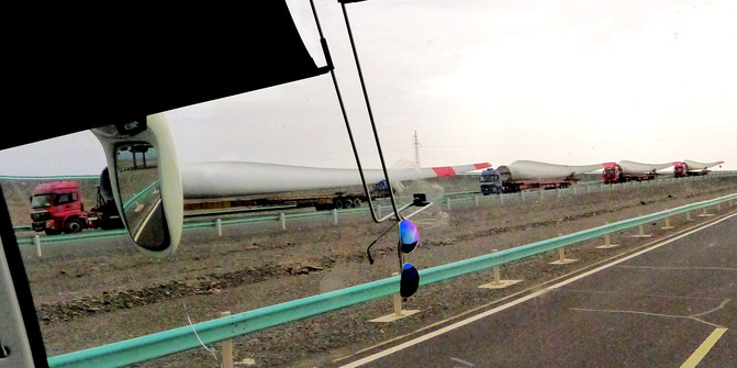
On August 31, at 6:00, the front desk called "wake up", and breakfast was served at the "Galina Restaurant" attached to the hotel at 6:30. At 7:00, we set off before dawn and headed for Turpan along the G30 Lianhuo Expressway. After dawn, I found that it was cloudy, with occasional raindrops. Xinjiang had been sunny for many days, but I didn't expect to encounter rain in Turpan, which is known as China's "dry pole". At 9:00, when you pass by the wind farm, you will find a dense number of tall windmills, which is very spectacular. The tour guide said that in the past, wind power equipment was imported and was expensive. After localization, the price dropped sharply. Now Xinjiang wind power has become a competition, and the better wind farms have been divided up by major energy companies. Sitting in the car, I first saw the wind power battle, but I only admired the astonishing number of windmills. Later, when I met the fleet of windmills transporting windmill blades, I realized that the windmills themselves were huge that really shocked people.
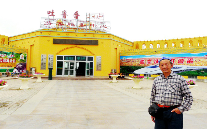
Arriving at 9:43 at Turpan Exit Expressway, I immediately saw the "Turpan Tourist Service Center". The tour guide went to buy tickets, and the group members all got off the bus for activities. I also took the opportunity to take a photo of "Here's a Tour". The next step is to drive 45 kilometers to the "Bozi Creek Thousand Buddha Cave" and arrive at 10:41. The "Bazike Thousand Buddha Cave" is a national key cultural relic protection unit. The cave is built on the hillside cliff of a canyon with scattered heights and heights. There is a small river running through the canyon, and the valley bottom is lush. However, the upper part of the canyon is barren and the color contrast is very sharp.

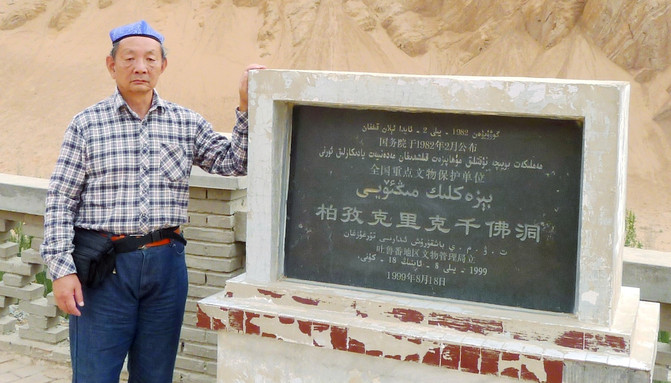
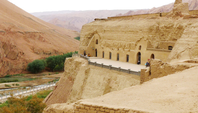
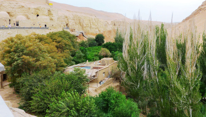
The caves in the scenic area were first dug in the 5th century AD and the latest in the 14th century. Among them, the most prosperous were the 10th to 11th centuries. The Uighur king of Gaochang State abandoned Manichaeism and converted to Buddhism, and expanded the place into a royal Buddhist temple. However, after the 15th century AD, the local people converted to Islam, and the Buddhist temples were abandoned. At the beginning of the 20th century, more European "explorers" came and shipped the surviving murals into hundreds of boxes and smuggled them out of the country. Therefore, apart from the caves remaining, there are actually not many cultural relics in the current "Bozi Creek". After walking around, I felt that there was nothing to see. I was angry and was planning to evacuate when I suddenly saw foreign tourists dressed up interacting with a local Uyghur elderly man. The father and daughter danced with the accompaniment of the Uyghur elderly man. The mother filmed a video. Other tourists took advantage of them, and I also took the opportunity to take a few photos.
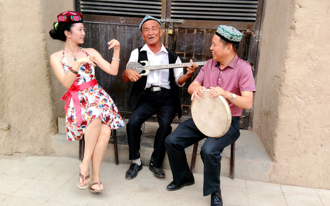
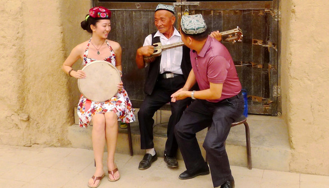
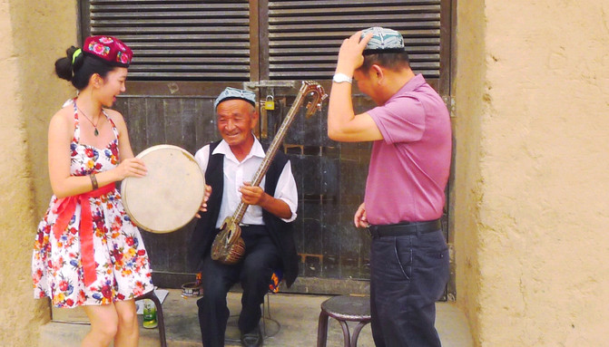
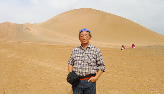
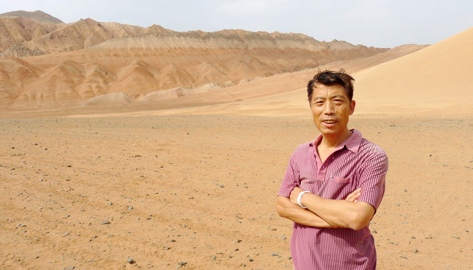
Behind the cave group is the famous "Turpan Flame Mountain", which can be climbed on foot or rented camels. The three of us walked along the path to the middle of the mountain and took a photo of "Visiting Here" as a souvenir. There were also group members who wanted to reach the summit, but the tour guide strongly dissuaded them. He said that fortunately today is a rare cloudy day. If it were normal, even if we climbed to the middle of the mountain like this, we would be scorched by the scorching sun.
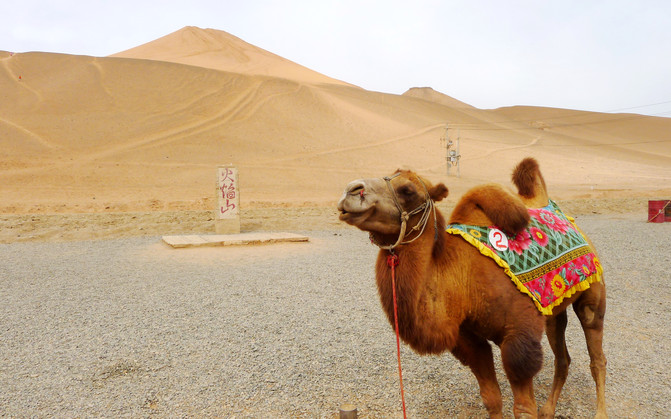
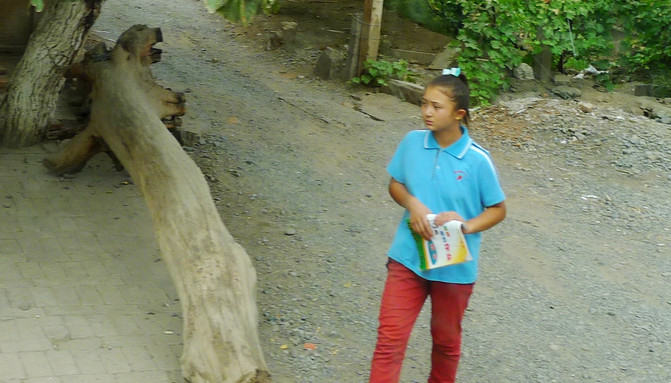
We left Huoyan Mountain at 12:20 and returned to Turpan City. We arrived at the "Putaogou Folk Village" at 12:59. We paid to visit Uyghur families, listened to folk introductions, watched dance performances, and also enjoyed grapes, watermelons, cantaloupes and other fruits. Finally, we bought raisins. There are many varieties of raisins, but the prices are not cheap. None of us bought them. However, some group members are very eager to buy and take up a lot of time. The tour guide patiently waited for the last group member to complete the purchase before gathering the team to board the train around 14:00. It is lunch time in the local area, and the little "Guli" are also home from school. Uyghur girls are often called "Guli" and boys are often called "Balangzi".
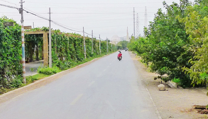
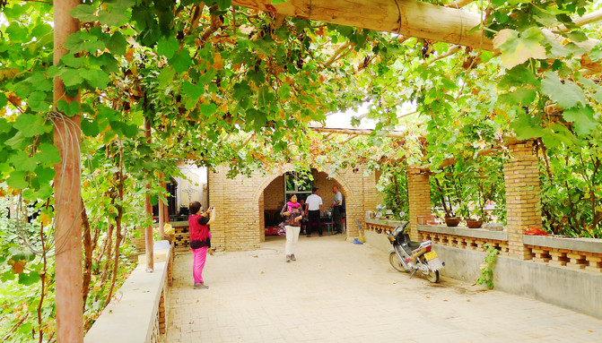

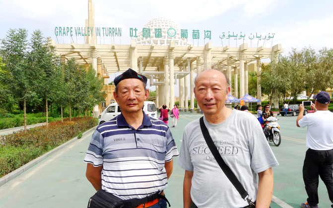
The entrance gate of the "Grape Valley" is quite distinctive. The group members asked to take photos one after another. The tour guide initially refused to agree, claiming that today's lunch was arranged to have dinner and watch the performance. At this moment, the performance had already begun, but in the end, he could not resist everyone's insistence and stopped the car again and was delayed for about 5 minutes.
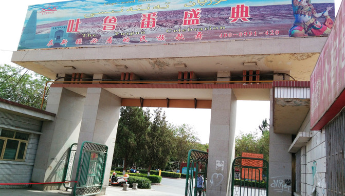
After taking photos and getting on the bus, the tour guide informed us that we were going to the "Turpan Grand Theater" to watch the song and dance performance of the "Turpan Grand Ceremony". The theater was invested and built by a mainland owner, and the actors are from the local Uyghur. The program is very exciting and everyone who has seen it said it is good. He also introduced that the lunch served by the theater is also quite rich, including large plate chicken, lamb chops, pilaf, yogurt, kebabs, Xinjiang naan cakes and various small dishes. Except for the limited number of kebabs, everything else can be added. Afterwards, I also learned from the Internet that the "Turpan Grand Ceremony" is actually a supporting project launched by the Turpan City Tourism Bureau for the "Turpan Day Tour". It is performed every day from 13:30 to 15:00, and the ticket price is 238 yuan. However, we arrived at the theater at 14:20, and the song and dance performances had already begun. A piece of food was placed in front of each empty seat in the theater hall (also known as the restaurant), and everyone found their own empty seats to eat. The performance was really wonderful. The music, lighting, and stage beauty were great. The food was also the best meal I had when I came to Xinjiang. However, because I was late, I only saw more than half of the songs and dances. Moreover, because the performance had already begun and the theater was dark, I didn't know where to go to get more rice. The main reason for this consequence was that it took too much time to buy raisins, and the tour guide did not explain to everyone when the song and dance performance would start. For tour guides, letting everyone eat well and have fun is far more important than letting individual tourists shop hard. This is the contradiction between tour guides and tourists. The "core interests" are incompatible.
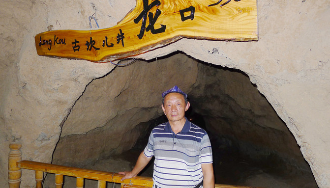
This was followed by a visit to the Karez Museum, arriving at 15:30. Turpan's annual precipitation is less than 1/160 of the evaporation, but it is also the hometown of famous grapes. The secret lies in the "Kanerjing" irrigation system. The karez consists of a shaft, underground channels, surface channels and "waterlogging dams"(small reservoirs). Turpan is adjacent to the Tianshan Mountains, and meltwater from snowy peaks forms a huge aquifer under the Gobi Desert. Local people use the altitude difference between the foot of the Tianshan Mountains and the Turpan Basin to create an underground water diversion system such as the "Kanar", which is not afraid of heat and strong winds and cleverly irrigates farmland. The junction between the underground culverts and the ground open channels is called "Longkou", and take a photo of "A Visit Here".
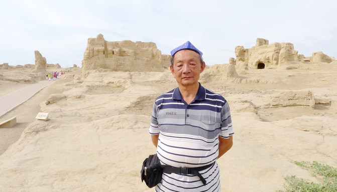
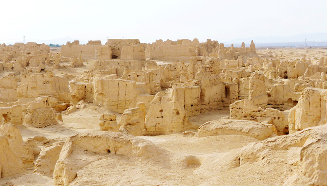
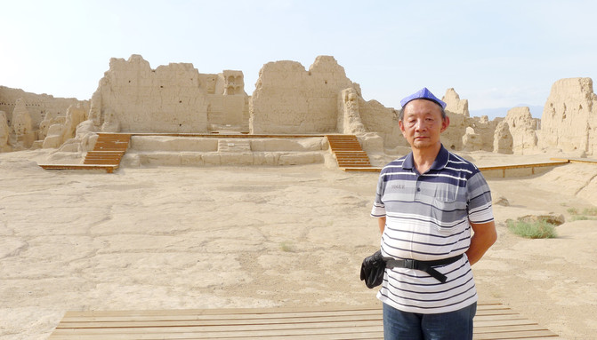
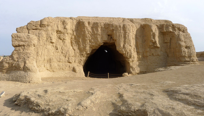
After leaving Kanerjing, we visited a "Uyghur Ancient Village Museum", and then went to the "Jiaohe Ancient City" located on the west side of Turpan City, arriving at 17:00. The "Ancient City" is built on an island-shaped terrace in the shape of a willow leaf. Because the water flows into two streams around the island, it is called the "Jiaohe". This place was the first capital of the "Cheshiqian State" of the "36 Countries in the Western Regions" in the Han Dynasty. It has been more than 2,000 years. The Tang Dynasty established the "Anxi Protectorate" here, which was the highest military and political institution under the jurisdiction of the court in the Western Regions. "Jiaohe Ancient City" is a national key cultural relic protection unit. It was also included in the "World Cultural Heritage List" due to the joint application of the "Silk Road" by China, Kazakhstan and Kyrgyzstan.
The "old city" is all built of "raw soil". Houses are built without bricks, adobe, or stones. Instead, the streets, houses and courtyards are dug down from the ground to cut out directly on the "raw soil" layer. Therefore, unlike the general ruins that age earlier as they go down, Jiaohe City ages later as they go down. Thousands of years of ups and downs, one nation withdrew, another nation entered, and those who came later continued to dig on the ground of their predecessors."Jiaohe" is such a city "carved" on the loess terrace. However, this process finally ended in the war of the 14th century AD. At that time, the Mongolian aristocrats of the Eastern Chagatai Khanate abandoned Buddhism and converted to Islam, and then launched Islamic Jihad, forcing Buddhist believers living in the Turpan region to also convert to Islam. After a fierce battle,"Jiaohe" City was broken and eventually became a deserted city.

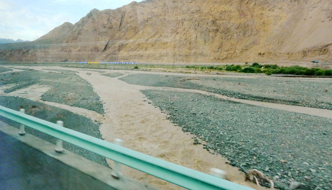
I left the "Jiaohe Ancient City" at 18:00 and drove back to Urumqi. At 19:00, I crossed the Gobi and saw turbid running water everywhere. It should have just rained heavily. At 20:24, I saw the "Bogda Snow Peak" in Tianshan Mountain. The top of the mountain was covered in silver, which was unique and enchanting. For dinner, we had "lentil noodle flag" and grilled mutton kebabs opposite the "Western Region International Hotel". The "lentil noodle flag" is to cut the dough into fine diamond shapes and place it in the beef bone soup, add diced mutton, chopped green onion, lentils and other seasonings, and eat the soup with water after cooking. This is the dinner that the tour guide recommended for us.

On September 1, we visited the "Tianshan Tianchi" today, located in Fukang City, Changji Hui Autonomous Prefecture, not far from Urumqi. Logically speaking, the time should be quite abundant. However, the tour guide still asked us to get up at 6:00 (equivalent to 4:00 in Xiamen), have breakfast at 6:30, and set off at 7:00. Soon after, we arrived at an auto parts city on Kunlun East Road in Shuimogou District, Urumqi. There was a tourist shopping spot called "Valin Jewelry International Jade City." The huge shopping mall was only accessed by a small door, and it was not a shop at all. A few people in the group were still crazy, and the majority were indifferent and bored. They stayed until 8:55 before leaving and continued to drive to the "Tianchi". He was driven on the road early by the tour guide because his intention was to go shopping, but he also got his wish and excitedly announced on the car that someone in the group had purchased more than 10,000 jade just now, allowing him to receive a rebate of more than 1,000 yuan. To thank everyone for their support, today, we are going to add dishes for lunch. In addition to the traditional "eight dishes and one soup", each person will be given a mutton kebabs and a piece of creamy roasted naan.

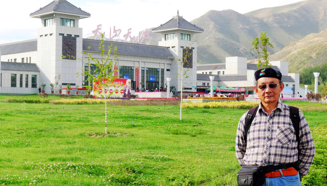
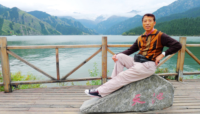
Arriving at the "Tianshan Tianchi" Scenic Area at 10:10, the tour guide changed his "Uyghur guy" dress from the past few days, took the initiative to button his own little green hat on my head, calling me "Master Bayi." Wearing green flower hats by Uyghur men is a symbol of identity, completely different from the "cuckold hat" of Han people. This is also the new knowledge learned during a visit to Turpan yesterday. The entrance to the scenic spot of "Tianshan Tianchi" is very spectacular."Master Bayi" took a photo of "Visiting here".
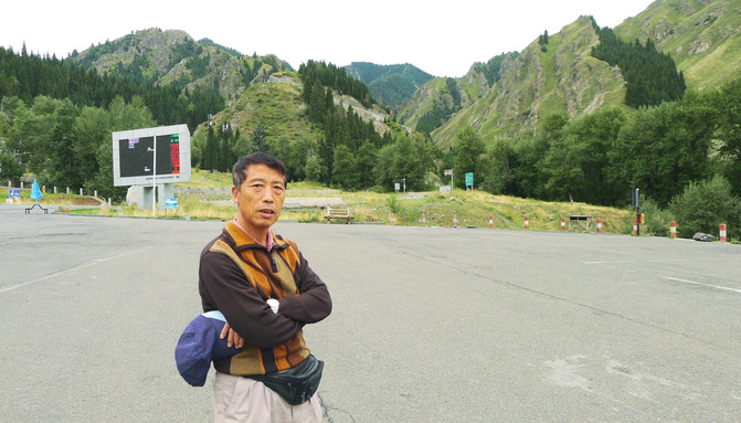
The tour guide completed the procedures and led everyone to change to the scenic area transportation bus and went up the mountain along Provincial Highway S111. Soon after, they arrived at a wide parking lot, which was the old tourist center of the scenic area. In the past, the car of tour groups could be driven directly here. Then buy tickets and enter the mountain. The tour guide arranged lunch here, eliminating the unchanging all-vegan "eight dishes and one soup", and also fulfilling the promise of mutton kebabs and milk-flavored roasted naan.
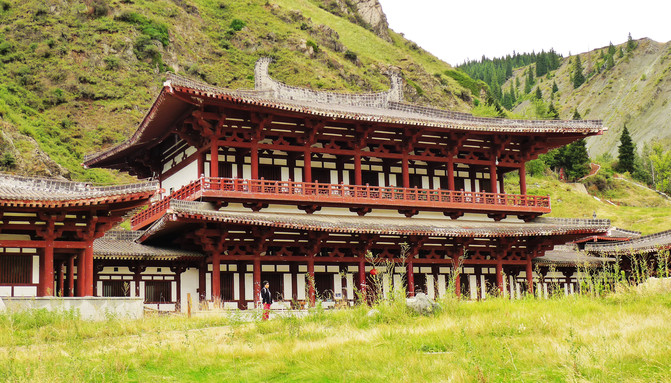
After dinner, continue to take the scenic area bus up the mountain, pass the "Xixiao Tianchi" at 11:46, and finally arrive at the Datianchi Parking Lot, which is also the end of Provincial Highway S111, and there is still more than 200 meters uphill from the "Tianshan Tianchi". If you don't want to walk, you can also have a small sightseeing bus to travel, but you need to purchase additional tickets. We climbed the mountain on foot and arrived at Tianchi at 12:08. The lake was crowded with people and was very lively.
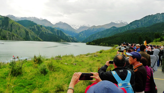
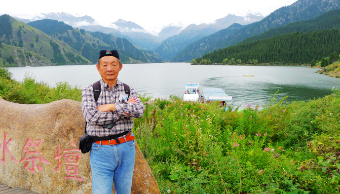
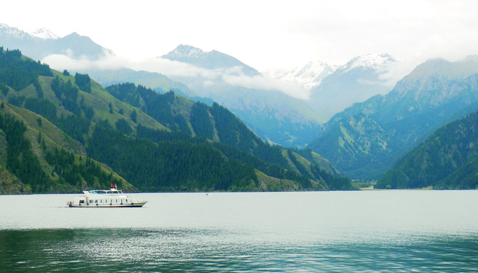
"Tianshan Tianchi" is 3400 meters long, 800 - 1,500 meters wide, and about 105 meters deep at its deepest point. The lake water is crystal clear, the lake is covered with green grass, the mountains in the distance are covered with snow, and green spruce and tower pines are scattered all over the slopes around the lake, and lush everywhere. We all rushed to the lake, but the tour guide hurriedly stopped us. He said that we would continue to go to "Mayashan", the first peak around Tianchi Lake. From there, the scenery will be more beautiful. Therefore, it is better to hurry up and rush to the starting point of the "Mayashan Special Line" to queue up for the train.
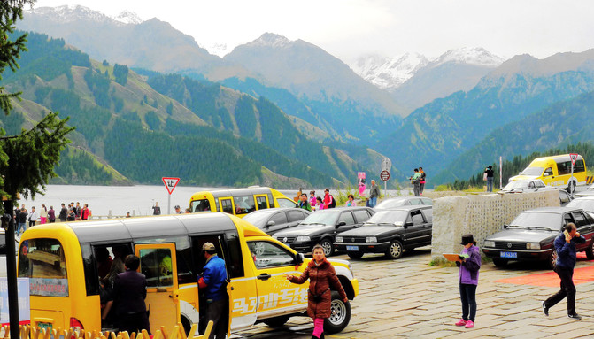
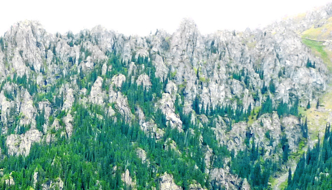
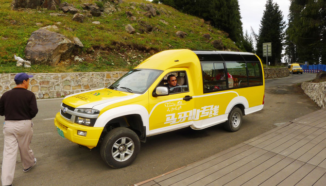
The sightseeing bus is yellow, commonly known as the "Little Wasp", and the roof is all glass. It can accommodate 13 people in one car. We just booked two of them. The starting point of the line is Tianchi and the ending point is the next stop of the Mayashan cableway. The round-trip ticket is 100 yuan/person. According to the information on the ticket, we should stop at Huisendai, Dagoudikeng, Xianglu Terrace, Tianshan Alpine Stone Forest Observation Deck, and Lingshan Temple on the way. However, the driver of our car was very powerful. After starting from the foot of the mountain, we drove for 15 minutes in one breath, and the first stop took us to the "Alpine Stone Forest Observation Deck". The tour guide ignored him when he asked him to stop halfway. This observation deck has a wide view, allowing you to overlook the Tianchi Lake from a commanding position, and also look at the "alpine stone forest" on the opposite "Maja Mountain". These Cuiwei stone peaks look like rows of "horse teeth" from afar, which is why the name "Ma Ya Mountain" comes from.
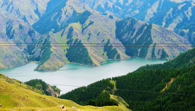
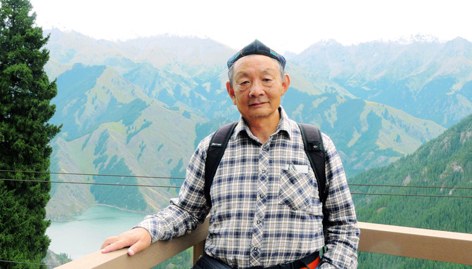

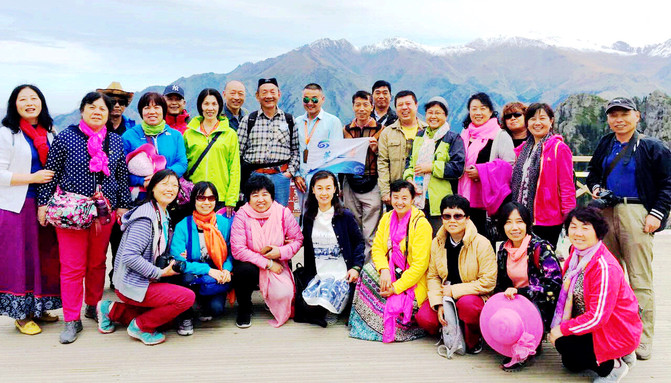
The tour guide Xiao Zhang launched the "Dream Journey" flag, not only organizing a group photo, but also asking each small group to take photos with him separately. Our group is "Yin is strong and Yang is weak", with women accounting for more than two-thirds of the total number of people. The tour guide Xiao Zhang is also very popular with the women along the way.

After taking a group photo, take the "Little Wasp" and arrive at the next station of the "Mayashan Cableway" in 4 minutes, which is the end of the "Little Wasp". The "Little Wasp" drives up the mountain for a total of about 19 minutes. Based on 50 yuan/person, the price is quite high. There is also a "Dengdeng Mountain Landscape Group" viewing platform next to the cableway station. Standing on the stage and watching, you can see pine forests and grasslands nearby, and green mountains in the distance. The scenery of Tianshan Mountains is beautiful, like an oil painting.
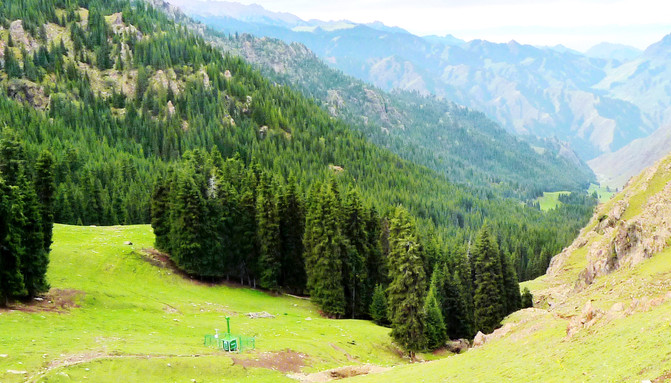
The cableway extends horizontally for more than 1000 meters, with a total height difference of about 300 meters, connecting "Maja Mountain" and "Denggan Mountain". The two-way fare is 120 yuan/person. There are also mountaineering wooden plank roads near the cableway, so not many tourists choose to take the cableway. We took the cableway without much queuing. Arrive at the cableway "Station" at 13:02, where there is also a viewing platform of the "Mayashan Landscape Group". Compared with the "next station", the landscape of the "upper station" is quite different. The dense original pine forest is replaced by the towering stone forest (horse tooth), clear snow peaks are revealed behind the huge "horse tooth", and the panoramic view of Tianchi Lake also appears in the distance.
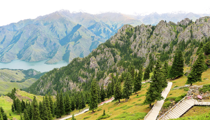
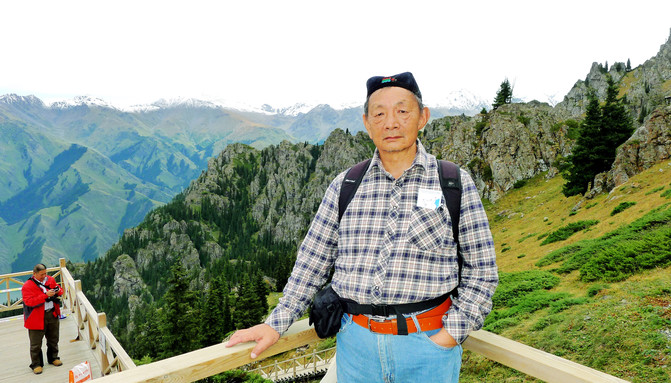

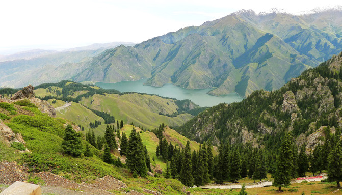
The "Mayashan Landscape Group" is located above the peak of Mayashan. It consists of a wooden plank road connected with multiple viewing platforms, extending from the "standing station" of the cableway to a higher place. After taking the cable car up the mountain, most of the group members followed the tour guide's advice and stopped climbing. Only the three of us, considering that we might not come to Tianshan again in the future, decided to make full use of this only opportunity in this life and climb as high as we can. The top of the mountain is nearly 3000 meters above sea level, and it is still difficult to climb the steps on foot. After panting and climbing to the second platform, X.D. felt dizzy and his legs were weak, so he was forced to retreat down the mountain, leaving only Y.C. and I to continue to forge ahead. Arrive at the third platform at 13:40, from which you can overlook the "Bogda Snow Mountain", a famous peak in the eastern section of Tianshan Mountains. However, the boardwalk continued to extend higher, as if it was "endless". Y.C. and I were relieved and decided to just watch the scenery here, take photos, and then go down the mountain. However, as the oldest in the regiment, I was able to climb the highest today. I was still a little proud. I reached out and posed in the Uyghur "Yaksi" pose, leaned my back against the stone forest and snowy peaks of the Tianshan Mountains, and took a photo to commemorate it. A tourist saw me wearing a flower hat and curiously asked if I was Uyghur? I took advantage of the opportunity to imitate Uyghurs in speaking Chinese, but no one saw through it. Moreover, when I spoke Mandarin again, people praised my accurate pronunciation.
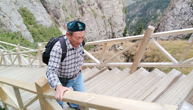
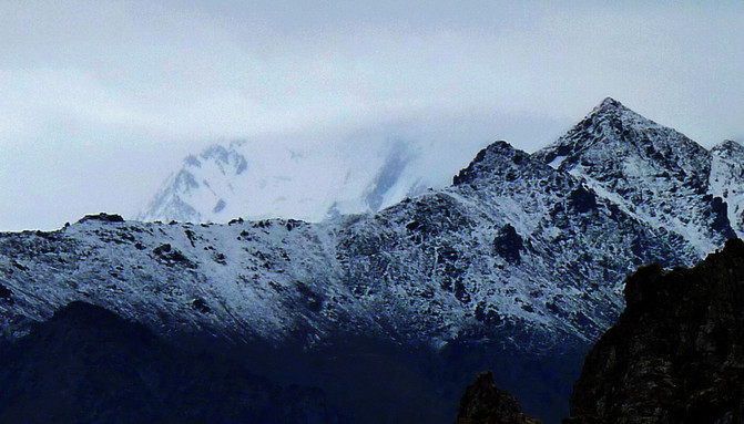
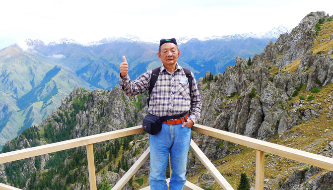
At 14:00, I returned to the cableway station, where the tour guide was still waiting. I took the cableway and then transferred to the "Little Wasp" to go down the mountain. At 14:40, I returned to Tianchi Lake. The tour guide announced that he would have free activities from now on and gather in the parking lot under Tianchi in an hour. The three walked casually on the north bank of Tianchi, took a few photos, evacuated Tianchi at 15:20, went downhill along the road, and went to the parking lot to meet the team. After counting the number of people, the tour guide took a bus down the mountain, then transferred to our own tourist bus, and went straight back to Urumqi. "Tianshan Day" is over here, and "Xinjiang Sixth Day" is about to come to an end. Guide Xiao Zhang distributed forms in the car and asked everyone to fill in their comments on him. We all filled in "Satisfied". Although this tour guide never forgets to gain his own interests, he is unambiguous about what a tour guide should do. As he said, tour guides also have to eat, support a family, and get married. We all understand that.
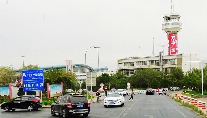
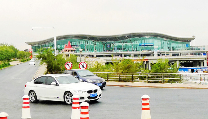
Arriving at "Diwopu Airport" at 18:45, seven women in the team got off the bus. They will fly back to Beijing tonight. Everyone else will take the train tomorrow afternoon and still need to stay in Urumqi tonight. The tourist bus entered the city and passed a tall Islamic-style building at 19:46. The tour guide said that it was the famous "International Grand Bazaar" in Urumqi. It was not far away from the "Western Region International Hotel". Most of the shops in the middle were currently run by Han owners, employing Uyghur girls as salespeople.

After returning to the hotel, the tour guide gave everyone the fare and asked us to "take a taxi" to the train station tomorrow. The three of us can ride a "taxi" together and get a fare of $15. I also received an additional refund of 230 yuan for participating in the tour, because some attractions over 70 years old are free of charge. For dinner, I still go to the Tianshui Hui restaurant opposite the hotel to enjoy the "Big Plate Chicken". It is still 100 yuan for three people.
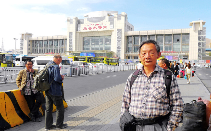
On September 2, the Z70 train back to Beijing departs from Urumqi South Railway Station at 13:02. The tour guide had arranged today's breakfast for us last night. At 9:00 a.m., he went to Galina Restaurant on the basement floor of the hotel for dinner. After eating, he returned to his room to rest for a while and checked out at 11:00. The three of us did not "take a taxi", but took a bus at 1 yuan/person and arrived at Urumqi South Railway Station at 11:30. Even if the bustling trip to Xinjiang comes to a complete end, stand in the station square, use the waiting building as the background, and take a photo to commemorate it.
Previous Article:Little Switzerland on the outskirts of Beijing is a good place to escape heat in summer
Next Article:Beihai Park-Searching for Childhood Happiness, 2022, 9,(2).
