Walking into the snowy plateau-a 22-day tour of Xizang
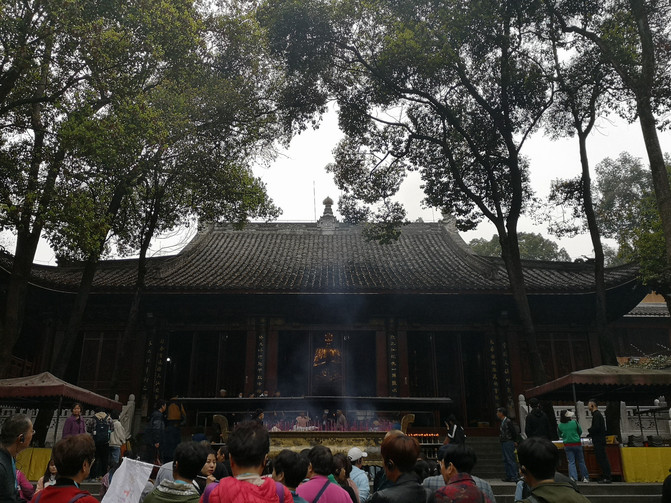
wenshu monastery
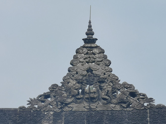
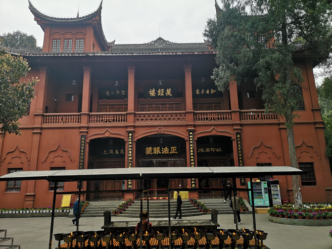
wenshu monastery
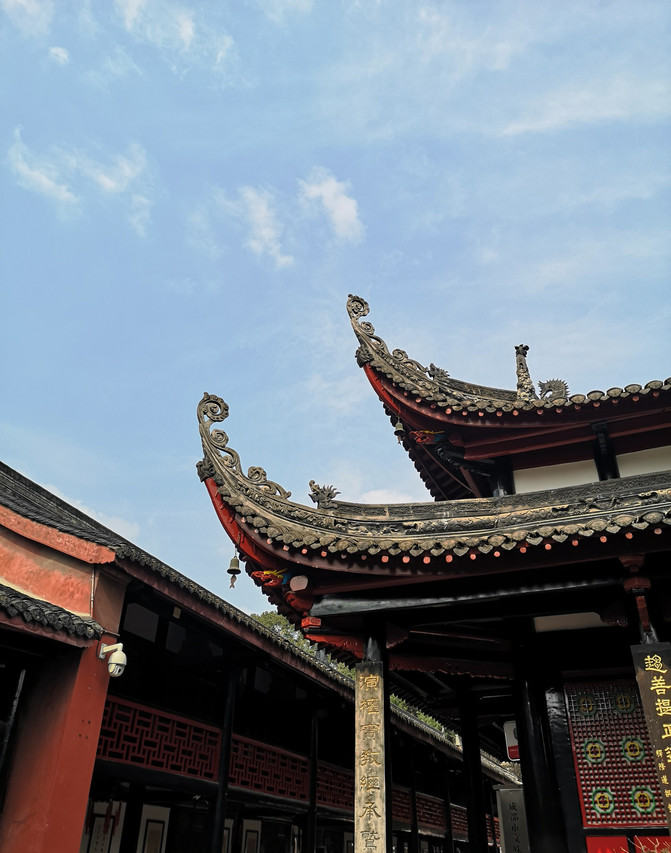
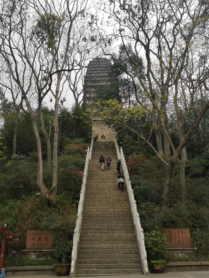
wenshu monastery
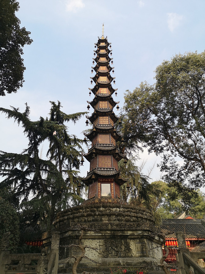
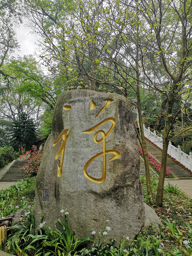
wenshu monastery
Visiting Wenshu House, in addition to experiencing the profound sense of humanistic history, is more inseparable from "eating". There are many Chengdu delicacies around Wenshu Courtyard. After visiting Wenshu Courtyard, we went back to the hotel to rest after having dinner on the commercial street in front of us.
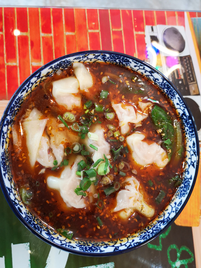
laoma wonton soup
D2
At dawn, we arrived at the airport. The plane took off on time at 6 a.m. and entered Xizang. The sun was just rising. On the plane, you could see the continuous snowy mountains bathed in the morning glow, which looked desolate and mysterious.
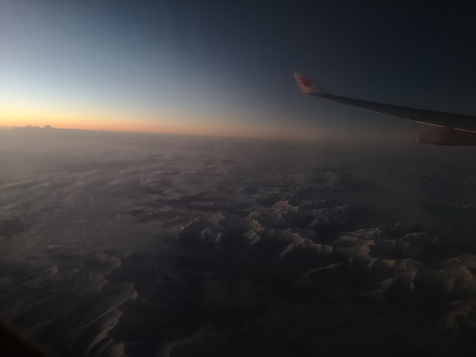
En route from Chengdu to Lhasa
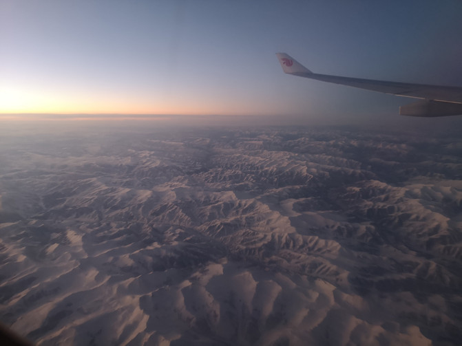
En route from Chengdu to Lhasa
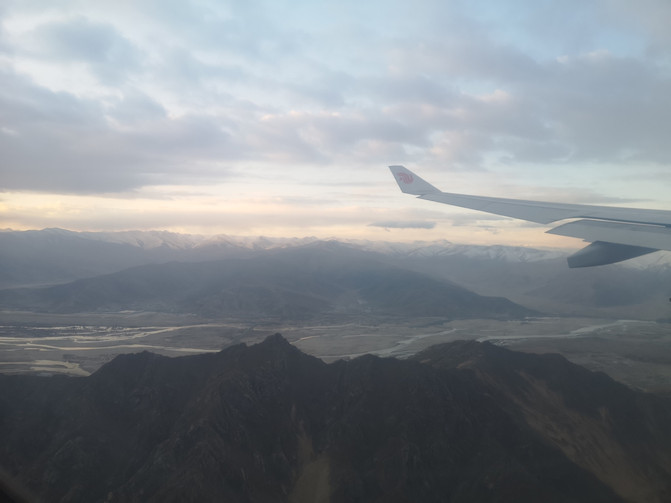
En route from Chengdu to Lhasa
The plane landed at Lhasa's Gonggar Airport after 9 o'clock. Considering the relatively high altitude of Lhasa, we chose to visit the relatively low altitude of Nyingchi area first, and then return to Lhasa after we adapted. Take a bus from Gonggar Airport to Lhasa Railway Station, and then transfer to the bullet train to Nyingchi.
On the way from Lhasa to Nyingchi, the beautiful scenery on the plateau is constantly displayed in front of us.
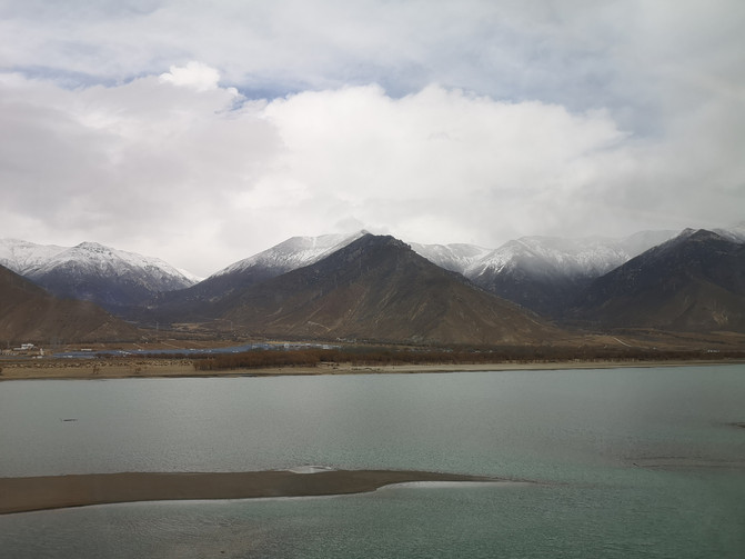
On the way from Lhasa to Nyingchi
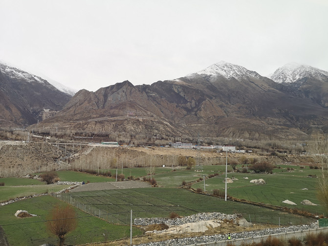
On the way from Lhasa to Nyingchi
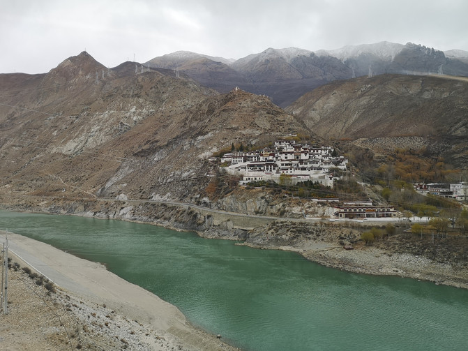
On the way from Lhasa to Nyingchi
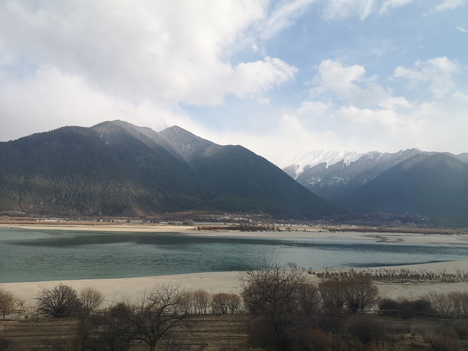
On the way from Lhasa to Nyingchi
There is a 2-hour time difference between Xizang and the mainland. It was nearly 6 o'clock in the evening when we arrived in Nyingchi, and the sun had not set here. The hotel we booked is near the bus terminal in the city. Nyingchi's railway station is more than 20 kilometers away from the city. It takes more than half an hour to reach Nyingchi's city by taking a minibus after leaving the railway station.
D3
After a two-day journey, I arrived at the plateau. Today, I plan to go to the Cuomu and Riri Scenic Area not far from the city first. After booking tickets for the scenic spot online, we took a taxi to the scenic spot. Only when I arrived at the entrance of the scenic area did I learn that the scenic area was closed today due to the ice on the road leading up the mountain, so I had to return the same way.
When I first arrived at the plateau, my time was relatively loose in order to adapt to the plateau environment. We can't visit the Cuomu and Riri Scenic Area, and there are no other attractions arranged today. We just went to the Niyang River not far from the hotel.
The Niyang River, which originates on the west side of Mira Mountain, has a total length of 307.5 kilometers and a drop of 2273 meters. It flows from west to east. It is one of the five major tributaries in the Yarlung Zangbo River Basin. The Niyang River is clear and the forest vegetation on both sides of the river is intact. It is the "mother river" of the Gongbu people.
The Niyang River's water supply is mainly from melted water from snow-capped mountains. The Niyang River should be very beautiful in summer. Unfortunately, it was a dry season when we came. There were large tracts of gravel exposed in the river, and small water flowed slowly among the gravel. Several puddles dotted it, and the distant snowy mountains were hidden in the clouds and clouds.

niyang River
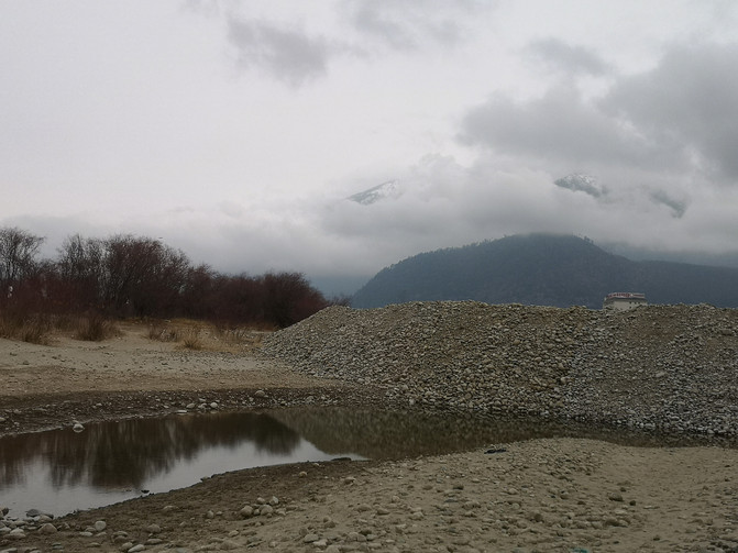
niyang River
After playing along the Niyang River for a while, on the way back to the hotel, we went back to the hotel to rest after discussing chartering a car with a car rental company we had learned about last night.
D4
Today we will officially start our trip to the plateau, and the first destination is Basongcuo. At 9 o'clock in the morning, the chartered car driver Xiang Shifu came to pick us up at the entrance of the hotel.
The car drove out of downtown Nyingchi and drove for about an hour when it suddenly began to snow. We felt that we were going to encounter bad weather today, so we told our master that the weather on the plateau was changing rapidly and the snow might stop soon. The car drove on the mountain road for another hour. When we arrived at the scenic spot, the snow really stopped.
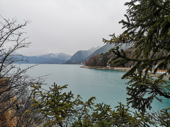
Basongcuo is also known as Cuogao Lake, which means "green water" in Tibetan. It is located in the high gorge deep valley on the upper reaches of the Ba River, more than 50 kilometers away from Gongbu Jiangda County in Nyingchi area. The lake surface is more than 3700 meters above sea level. It is a famous divine lake and holy land of the Red Religion (Ningma School of Tibetan Buddhism). The scenic spot integrates snow-capped mountains, lakes, forests, waterfalls and pastures, cultural relics, scenic spots and ancient temples. The scenery is unique and varies from time to time. All kinds of wild and rare plants are gathered. It is a paradise on earth and has the reputation of "Little Switzerland".
Master Xiang sent us to the gate of the scenic area and told us some precautions for activities on the plateau. He asked us to play slowly and don't worry. He was waiting for us at the door.
We took a sightseeing bus from the scenic spot to enter the scenic spot and first came to the island in the middle of the lake.
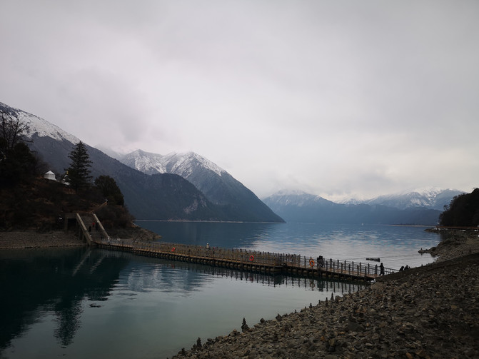
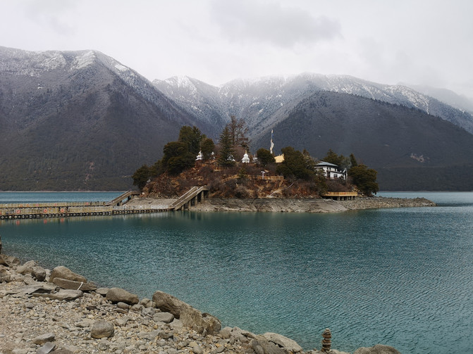
The island in the middle of the lake is called Tashi Island. It is about 100 meters away from the shore. There is a plank road connected to the shore. Legend has it that the island is a "hollow island", that is, the island is not connected to the bottom of the lake and floats on the water of the lake. On the island is the Tang Dynasty building "Cuozong Gongba Temple". It is a famous Red Religion Ningma Temple in Xizang. It was built in the late Tang Dynasty and has a history of more than 1500 years. Cuozong Temple is a civil structure with two floors and two floors. The main hall supplies lotus peanuts, thousand-handed Guanyin and golden boys and jade girls.
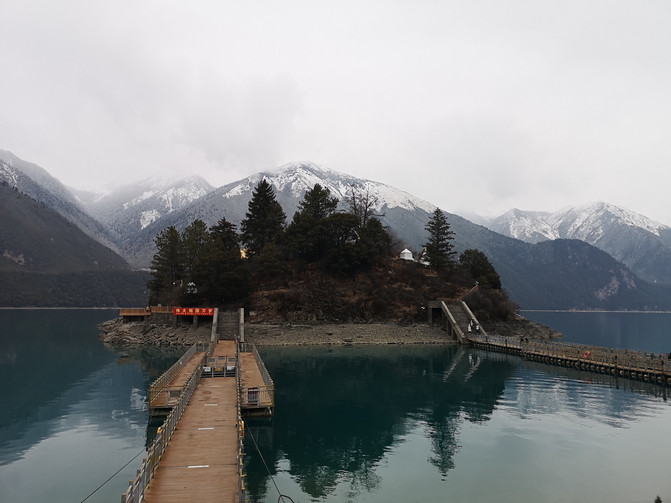
BA songcuo
BA songcuo
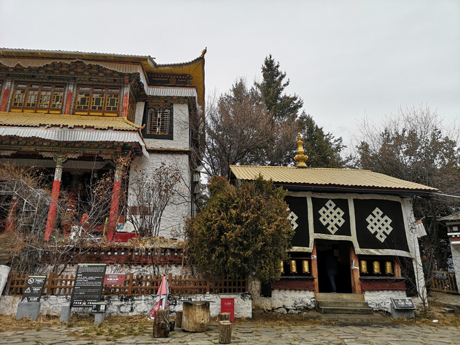
BA songcuo
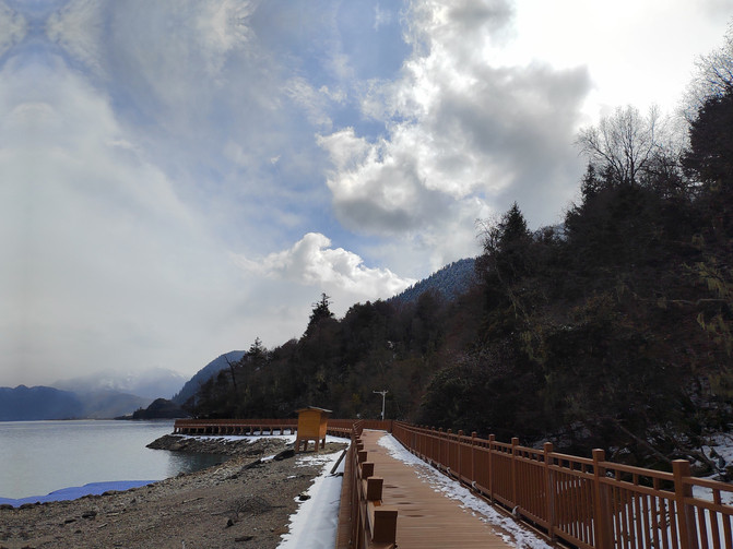
The island in the middle of the lake is not big, and it takes about half an hour to round the island along the small road. From the island in the middle of the lake, you can take a cruise ship to visit Basongcuo, or you can visit the plank road by the lake. Most tourists choose to go by boat or just walk a short way on the plank road before returning. We choose to go along the plank road.
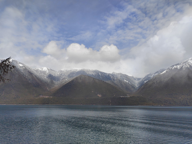
Basongcuo Lake is crystal clear and reflected in the surrounding snowy mountains. The sun came out at noon, and the sun shone on the snowy mountains, and the white snow shone brightly under the sunshine.
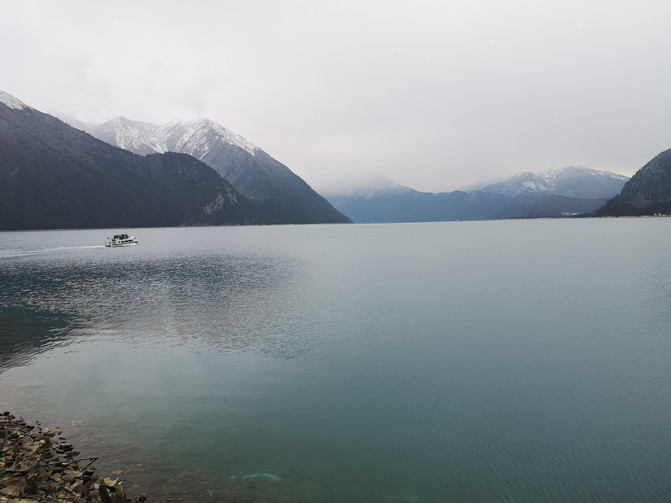
BA songcuo
BA songcuo
BA songcuo
BA songcuo
BA songcuo
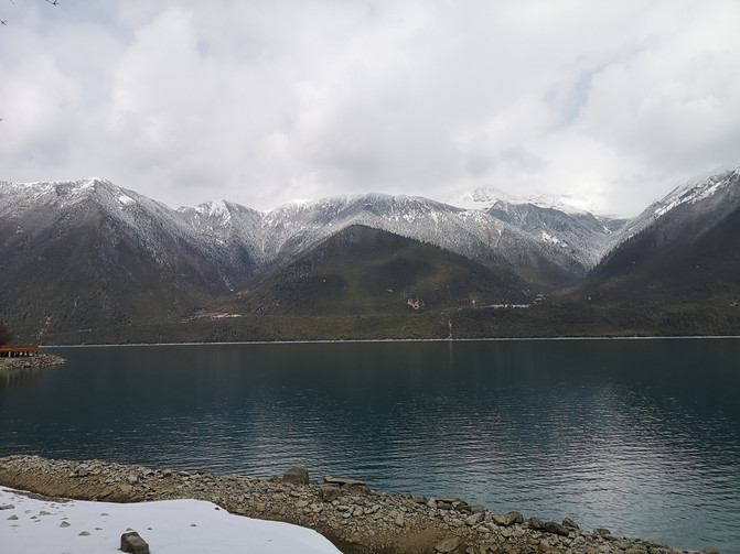
BA songcuo
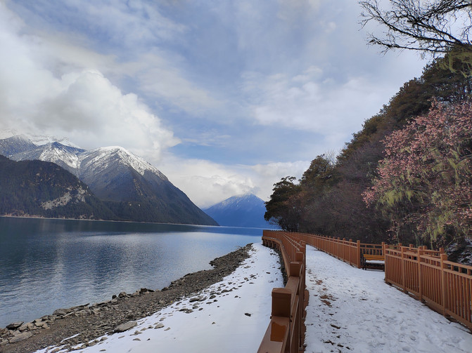
BA songcuo
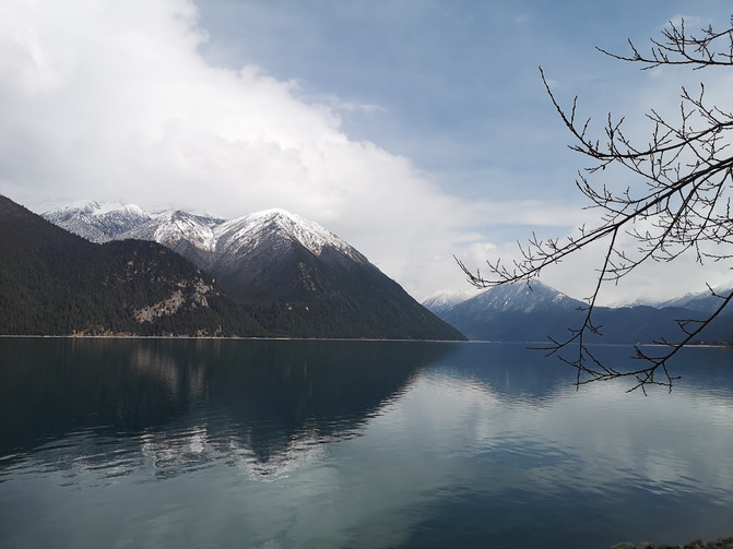
BA songcuo
We played while walking, until we reached the end of the plank road before returning. Go back to the sightseeing station and continue to take the sightseeing bus to the observation deck. After climbing a few steps, you can enjoy the beautiful scenery of Basongcuo and the island in the lake from above.
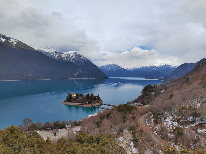
BA songcuo

BA songcuo
Get off the observation deck and continue to take the sightseeing bus back to the gate of the scenic area.
It was still early after visiting Basongcuo, so we decided to stop by and visit Kadinggou on the way back. On the way back, we passed by the Shuba Castle Group and decided to stop to have a look.
Xiuba Castle is located in Xiuba Village, Bahe Town, Gongbu Jiangda County. It is also called "Rongbao", which is commonly referred to as the beacon tower. It is an ancient military castle built against a mountain. Originally built in the late Tang Dynasty, it has a history of more than 1600 years. It is the oldest castle group in Xizang with the longest history, the densest castle group, and the most complete structure preserved. Today's Shuba Castle has been abandoned over the centuries and is a ruins.
The Xiuba Castle Group consists of five fortresses of different heights and heights, spaced about 30 to 50 meters apart. Each fortress echoes each other and horns each other. What is unbelievable is that the entire castle is actually built of rubble and wooden boards. The interior is hollow and there is no top cap. The exterior presents a geometric shape with 12 sides and 12 prisms, and the interior is a regular octagonal shape. After thousands of years of ups and downs, the castle is still majestic and tall and extremely strong, truly demonstrating the superb architectural craftsmanship of the Tibetan people more than a thousand years ago.
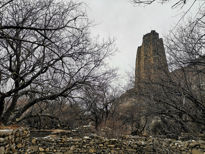
Shuba Castle
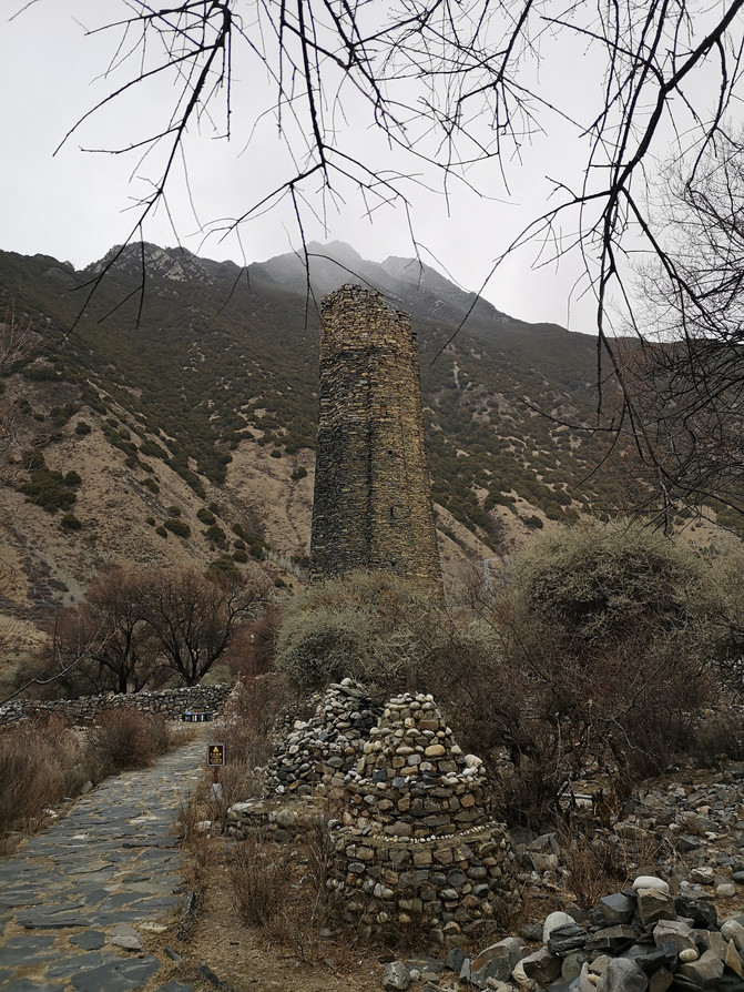
Shuba Castle
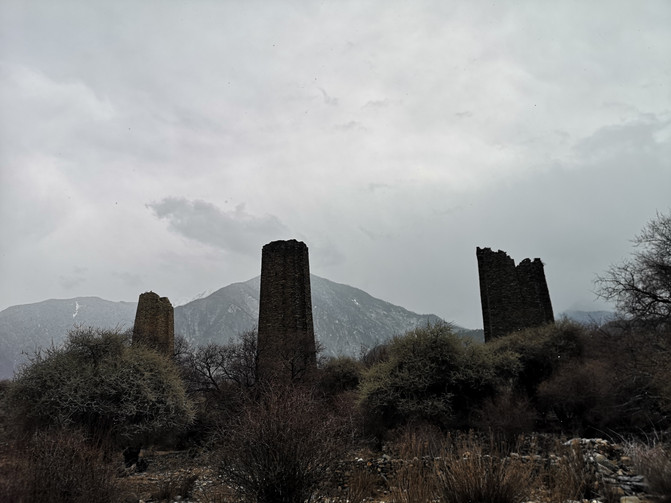
Shuba Castle
After visiting the Xiuba Castle Group for about half an hour, we continued to Kadinggou.
Kadinggou Scenic Area, also known as Kadingtianfo Waterfall Forest Scenic Area, is located on the bank of the Niyang River 24 kilometers away from Bayi Town on National Highway 318. Ancient trees in the ditch stand tall, flowing water gurgling, and the environment is very beautiful. The cliffs on both sides have peculiar shapes, with various images such as Buddha and animals. The main attraction in the scenic area is Tianfo Waterfall. The waterfall with a drop of nearly 200 meters flows straight down, and the silver chain-like water hangs on the cliff, making it majestic. A naturally formed giant Buddha in the waterfall has a kind face and appears from time to time in the waterfall, giving Tianfo Waterfall its name. The water from the waterfall floats down like a silver chain when young, and when the water is large, it is majestic and thrilling. There is a naturally formed Buddha statue on the rock wall behind the waterfall. It is said to be the patron saint of Tibetan compatriots in the Nyingchi area. Its face is clear, as if it was carved by humans. There are male and female guardians on both sides of the Buddha statue, and both look solemn and lifelike. The female Dharma Protector Bandanram on the right is about 100 meters high. It can be vaguely seen that she wears a veil, a ribbon around her waist, and holds a Buddha bead. Her image is lifelike; on the left is Ji Gong worshiping Buddha, and her image is equally lifelike. In addition to the Heavenly Buddha and the Dharma Guardians on both sides, there are also naturally formed abstract Buddhist landscapes around the cliff such as Tathagata, Guanyin, Lama chanting scriptures, divine turtles calling to the sky, divine eagles presenting treasures, butter lanterns, etc. It is said that people with Buddhist affinity can better see their form.
As soon as we entered the scenic spot, we happened to encounter a tour guide leading a tour group while walking and explaining. We followed the tour guide and listened to his narration while watching various strange images on the cliff. As we walked and looked, when we reached the edge of Tianfo Waterfall, snowflakes began to fall. In a short while, the surroundings were shrouded in fog, and the various images on the cliff were already blurred.
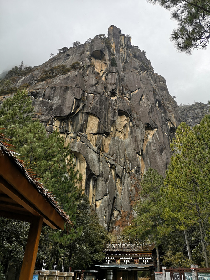
Kadinggou Scenic Area
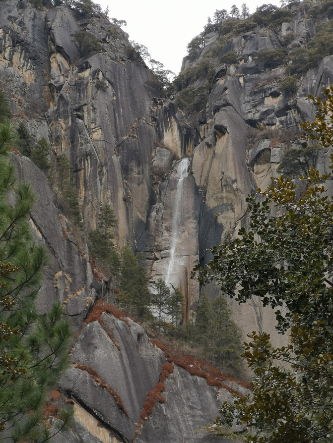
Kadinggou Scenic Area
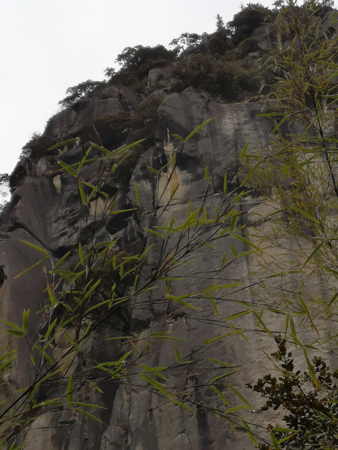
Kadinggou Scenic Area
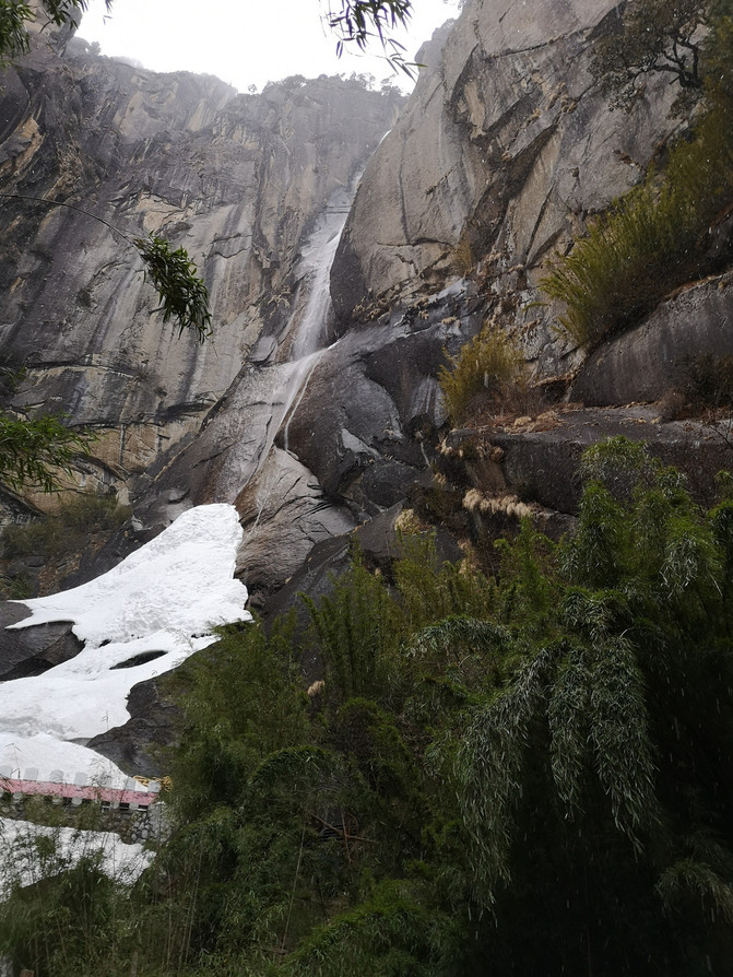
Kadinggou Scenic Area
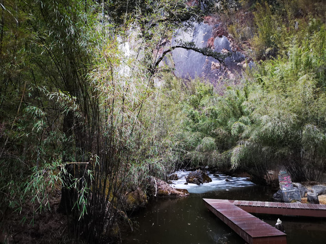
Kadinggou Scenic Area
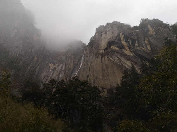
Kadinggou Scenic Area
When we returned to the entrance of the scenic spot, we were already covered with a layer of snow. After returning to the car, today's trip was over. At around 7 p.m., we returned to downtown Nyingchi.
Nyingchi is most famous for its stone pot. Back in the city of Nyingchi, we went to taste the yak meat in the stone pot mushroom soup. The portion was very sufficient. The yak meat was very tender and the mushroom soup was delicious.
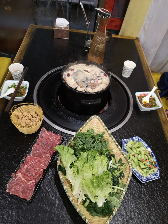
Yak meat in stone pot mushroom soup
D5
Today we are going to climb the Sejila Mountains and go to Yigong Township to see rapeseed and peach blossoms. In the morning, Master Xiang came to the hotel on time to pick us up, and left Nyingchi City for Yigong Township.
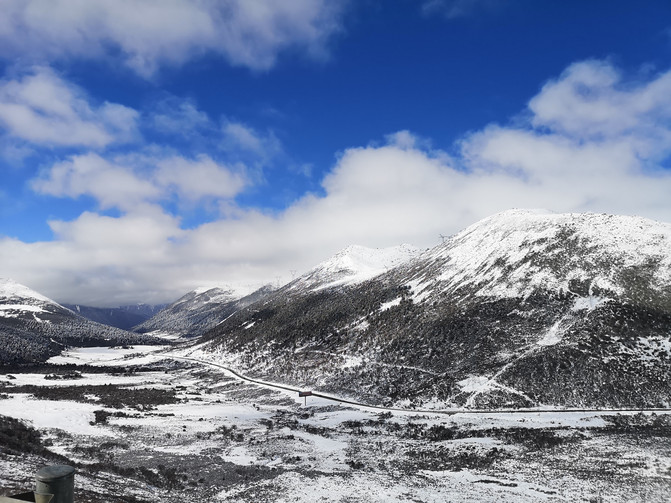
The car follows National Highway 318, passes Nyingchi Town and enters Sejila Mountain. Sejila Mountain belongs to the Nyenqingtanggula Mountains. It is the boundary between the eastern and central and western parts of Nyingchi County, Xizang. It is the watershed between the Niyang River Basin and the Palong Zangbo River. It is crossed by the southern line of the Sichuan-Tibet Highway. I heard that there was heavy snow on Mount Sejira last night, and today the slopes are covered with thick snow.
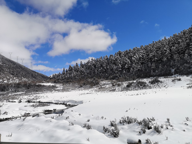
sejila mountain

sejila mountain
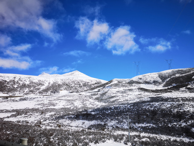
sejila mountain
sejila mountain
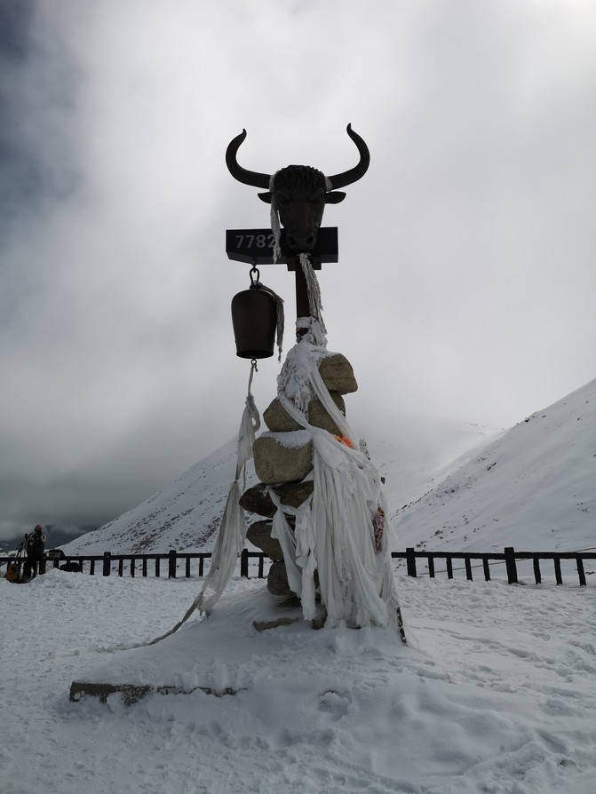
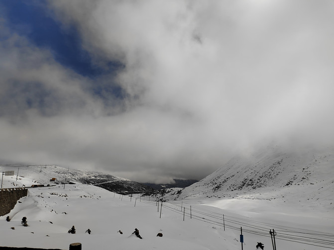
At noon we arrived at the observation deck at the Sejra Mountain Pass. The snow on the observation deck glistened brightly under the sunshine, and the distant Nangjabawa Peak was covered in thick clouds and mist. When the weather is good, the Sejila Mountain Pass at an altitude of 4728 meters has a wide view, and you can overlook the endless Lulang Forest Sea and the majestic appearance of Nangjabawa Peak.
Nangjabawa Peak is located at the intersection of the Himalayas, Nyainqentanggula Mountains and Hengduan Mountains. It is the highest mountain in the Nyingchi area of Xizang, China. It is the holy land of the oldest Buddhist "Yongzhong Benism" in Xizang and is known as the "father of the mountains of Xizang." Its huge triangular peak body is covered with snow all year round, surrounded by clouds and clouds, and never easily reveals its true appearance, so it is also called the "Shame Girl Peak".
Because we had to pass through here on the way back, we didn't stay here too long. We only took a few photos and left.
Sejila Pass
Sejila Pass
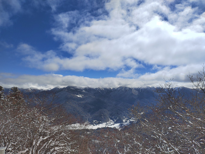
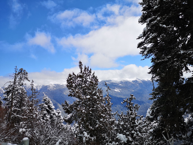
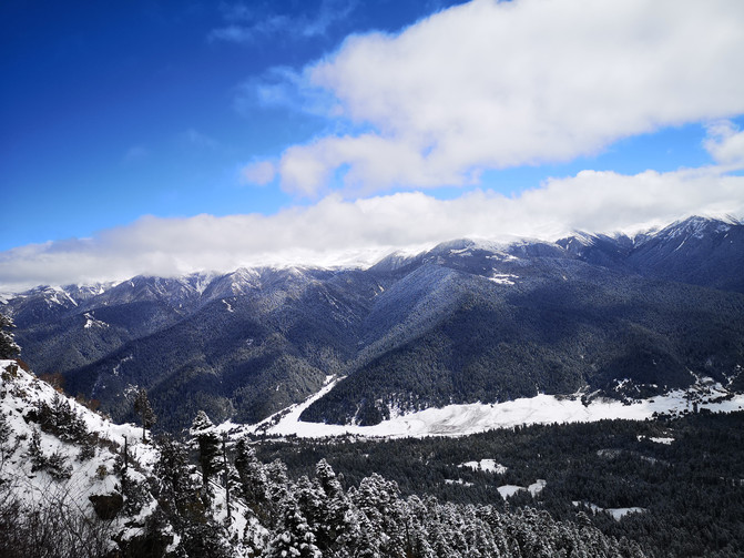
The car continued to drive on the mountain road. On one side was a steep mountain wall, on the other side was an endless sea of forests, and some residential houses were scattered in the distant mountain coves. Listening to Master Xiang, this is the famous Lulang Forest Sea.
The Lulang Forest Sea is located on the South Sichuan-Tibet Highway (National Highway 318). It is a forest in a mountainous and foggy sea. There are many snow-capped mountains around, forests and green onions in the ditches, and grasslands that are neat and artificially trimmed in the forest. Thousands of wild flowers are blooming in full bloom, making it picturesque.
lulanglin sea
lulanglin sea
lulanglin sea
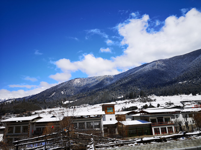
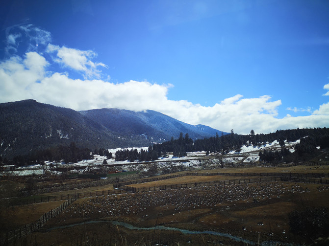
From Sejira Mountain, circling down the road, you will reach the town of Lulang.
Lulang Town is located in Bayi District, Nyingchi area. It is a quiet town surrounded by forests and mountains. The mountains in the distance are shrouded in clouds and clouds, the surrounding streams are winding, and wild flowers are everywhere on the alpine meadows. The scenery is beautiful and safe. It is known as "Snow Switzerland", known as "Jiangnan of Xizang".
lulang town
lulang town
Today we were going to Yigong Township, so we didn't stop in Lulang Town. After passing Lulang Town, continue to follow National Highway 318, and you will reach Pailong Natural Danger. This turned out to be the most dangerous section of the road on the Sichuan-Tibet line. It is narrow, rotten and dangerous, and is famous for its steepness in the world. Due to the loose and fragile mountains, mudslides and landslides are prone to occur in the event of wind, rain or ice and snow melting, resulting in traffic interruption; even in the dry season, due to the crushing of large carts, the roads are severely rutted and falling rocks are everywhere, and cars often pass through. It will wipe the bottom.
Now tunnels and bridges have been built here, turning natural dangers into thoroughfares.
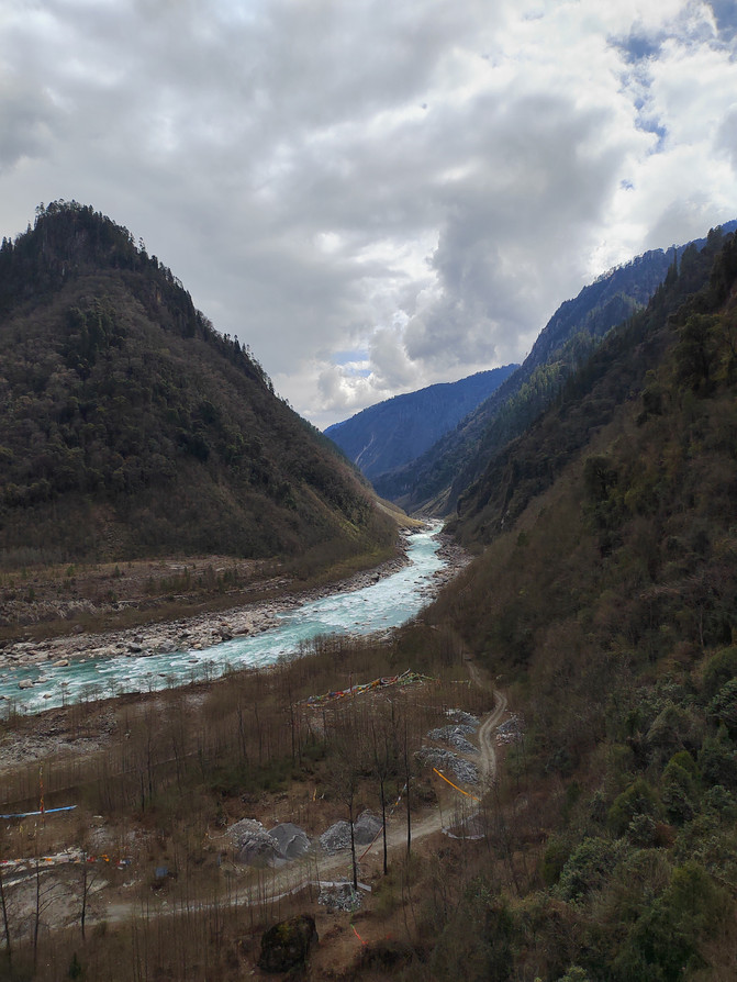
Dragon drainage is dangerous
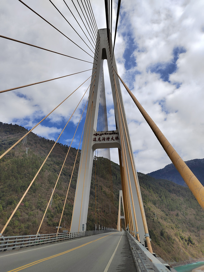
Dragon drainage is dangerous
After passing through the Pailong Natural Danger, we temporarily left National Highway 318 and drove into the branch line to Yigong Township.
Yigong is a township under the jurisdiction of Bomi County, Nyingchi City, Tibet Autonomous Region. Tibetan means "beautiful". There are many long and narrow terraces around the Yigong River Valley and Yigong Lake. The lowest altitude is 1900 meters and the highest is 2300 meters. There is no severe cold in winter and no severe heat in summer. The humidity is high and the sunshine is relatively weak. It is the only tea-producing area in Xizang. The famous Yigong Tea Farm is located here.
Yigong Tea Farm is 2240 meters above sea level and is currently the highest tea farm in my country. When entering Yigong Township, the first thing to pass through is Yigong's first tea field.
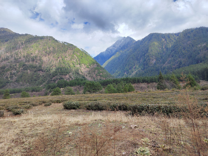
Yigong's first tea field

Yigong's first tea field
Continue along Yigong Lake. There are many farmhouses by the lake, blooming rapeseed fields and sporadic peach blossoms, which are particularly beautiful against the backdrop of snowy mountains and lake water.
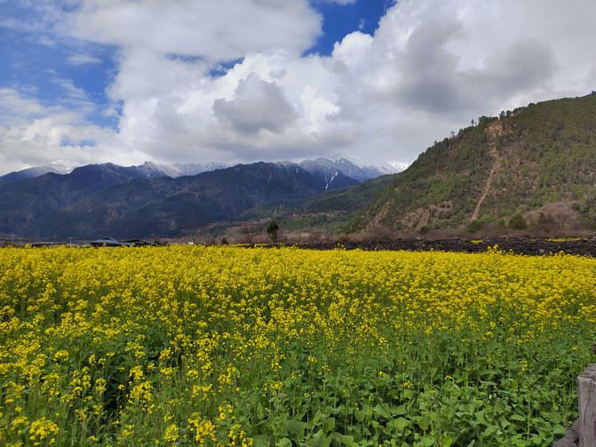
Ygon Lake
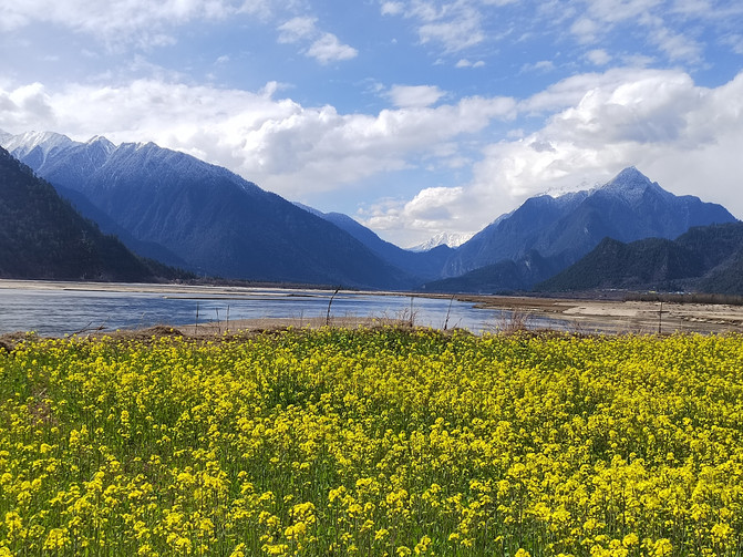
Ygon Lake

Ygon Lake
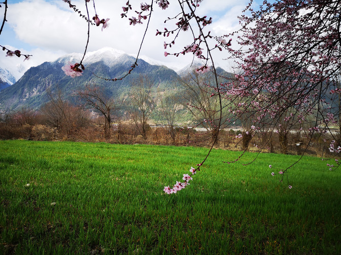
Ygon Lake
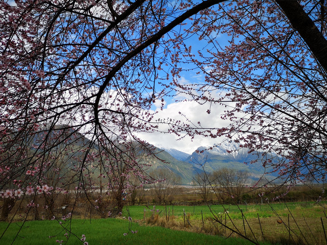
Ygon Lake
After circling the Yigong Lake, we finally arrived at the location of the Yigong Tea Farm and visited the General Building where General Zhang Guohua, former commander of the Xizang Military Region, worked in Xizang.
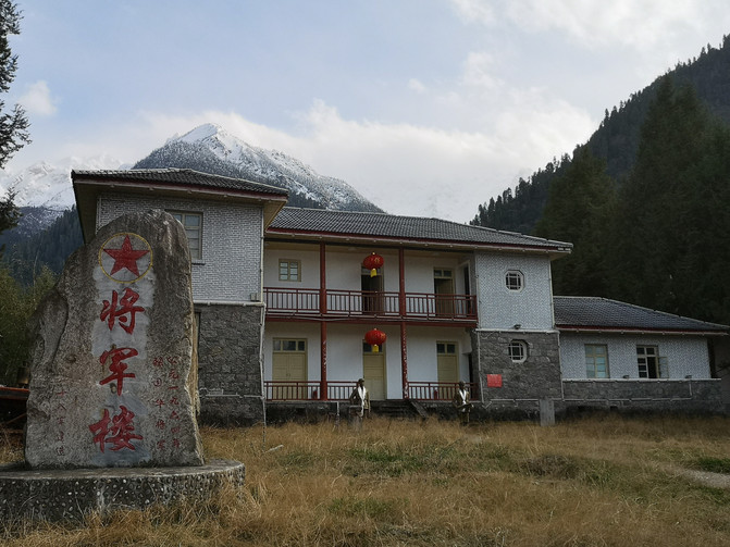
general building
After leaving Yigong Township, we returned to National Highway 318, passed the Tongmai Bridge and the milestone 4000 kilometers away from National Highway 318 to Bomi County.
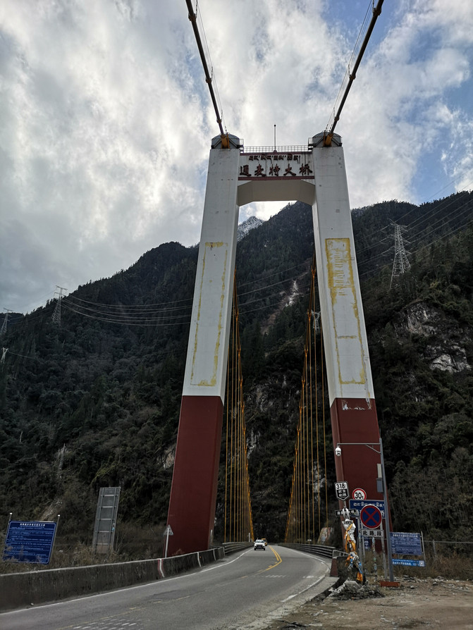
Tongmai Bridge
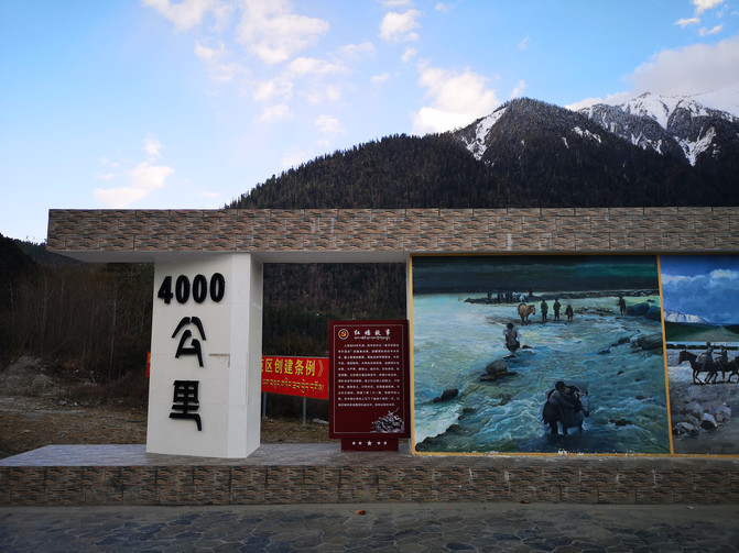
Milestone 4000 kilometers away from National Highway 318
D6
Today we are going to the mysterious Medog along the Zamu Highway.
The Zhamo Highway starts from Zhamu Town, Bomi County, and ends at Lianhua Square in Metuo County. It is renovated and rebuilt on the basis of the original Metuo simple road, with a total length of 117.278 kilometers. It successively crosses the Bodou Zangbu River, the Jinzhu Zangbu River, and the Ximo River, pass through Galong Temple, tunnel through the Galongla Snow Mountain, and reach Lotus Square in Metuo County. Due to the complex geological conditions in the southern Tibet area where Medog County is located, geological disasters such as mudslides often occur, making construction extremely difficult. Construction started in 1975, and was damaged many times by natural disasters, and repairs were stopped many times. It was not until October 31, 2013, when the highway was officially opened to traffic that Medog County got rid of the history of "the only county in the country that has no access to highways."
To the south from Zhamu Town, Bomi County, you must first cross the Galongla Snow Mountain, which is one of the only roads to Metuo County.
The Galongla Snow Mountain is located at the junction of Metuo County and Bomi County in the Nyingchi area of the Tibet Autonomous Region. It is the western end of the Gangri Gabu Mountains (also the northwest extreme of the Hengduan Mountains), with an average altitude of 4800 meters and an altitude of about 4200 meters. It is the intersection zone between the warm moisture of the Indian Ocean in the south and the alpine moisture of the Qinghai-Tibet Plateau in the north. The climate is changeable. Therefore, the Galongla Snow Mountain is called a sacred mountain by locals. The top of the mountain is covered with ice and snow all year round. Several glaciers are bred on the mountain, which has typical modern glacier landforms. Glacial melt water eventually flows into the tributaries of the Yarlung Zangbo River.
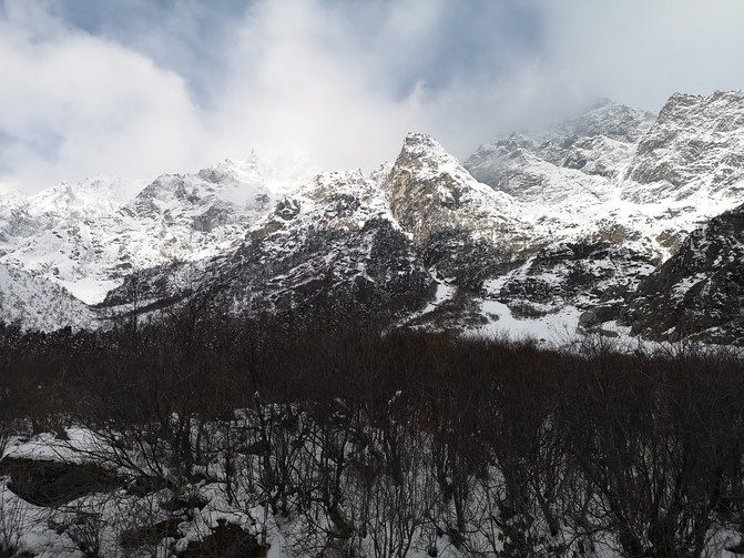
Galongla Snow Mountain

Galongla Snow Mountain

Galongla Snow Mountain

Galongla Snow Mountain
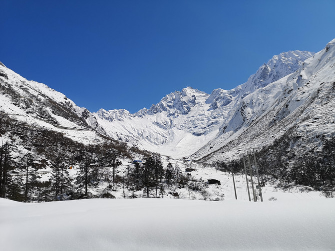
Galongla Snow Mountain
Thick snow piled up on both sides of the road, and we walked through a snow wall more than half a meter high.
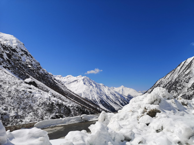
Zamo highway
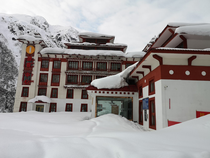
Zamo highway
After passing checkpoint 52K, we arrived at the Galongla Tunnel.
The Galongla Tunnel is a control project on the Medog Highway. The tunnel has a total length of 3310 meters and an average altitude of 3700 meters. The meteorological conditions of the construction tunnel are harsh, passing through multiple geological fault zones, broken rock masses, large water inflow, and extremely complex geological structures and hydrogeological conditions. From November to April every year, heavy snow begins to close mountains, causing great inconvenience to the lives of Medog people. The connection of the tunnel not only saves time to climb over the snowy mountains, but also avoids the difficulty of being unable to drive due to heavy snow. It creates a miracle in the history of highway construction and represents the end of the history of Medog people being blocked by the vast snowy mountains for generations.
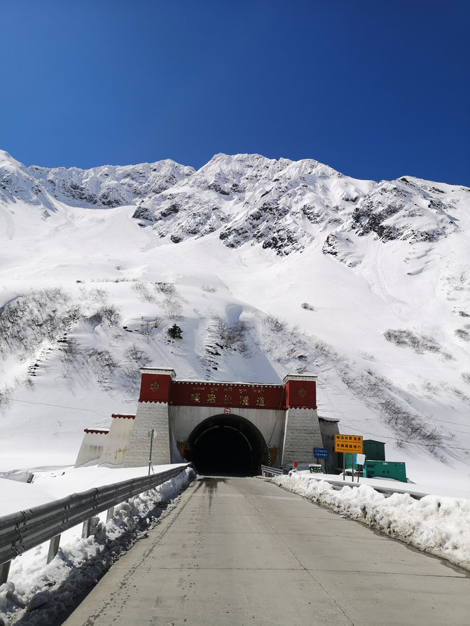
qianlongla tunnel
When we arrived at the Galongla Tunnel, it was covered with thick snow. Because we had to pass here when we came back, we didn't stay too long, but continued to go to Medog County. From the Galongla Tunnel at an altitude of 3700 meters to Medog Town at an altitude of more than 1,000 meters, there are many continuous downslopes. Along the way, from snow-capped snow-capped mountains to lush tropical rainforests, we experienced four seasons in one day.
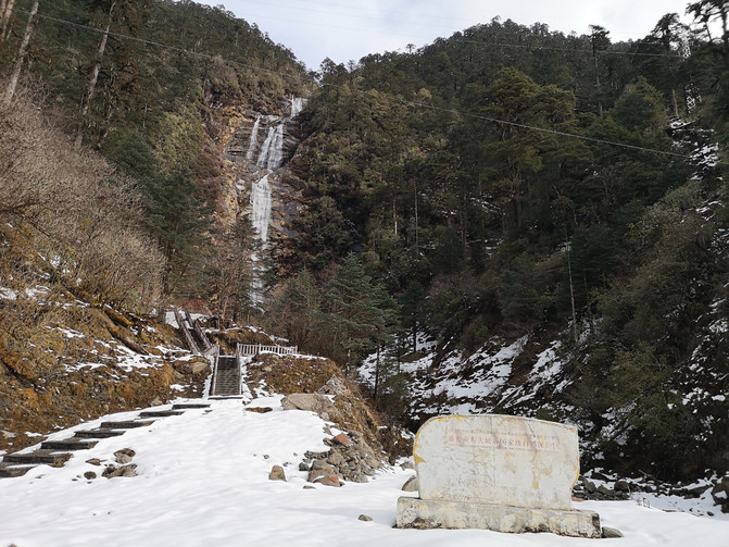
Zamo highway

Zamo highway
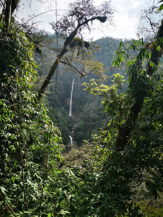
Zamo highway
The Medog Tropical Rainforest is the northernmost tropical rainforest on the earth. It is the area with the lowest altitude, the mildest, the most abundant rainfall, and the most ecologically preserved on the Xizang Plateau.

Zamo highway

Zamo highway
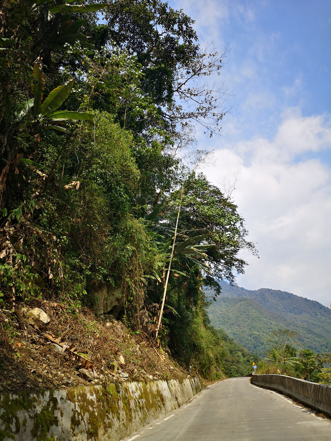
Zamo highway
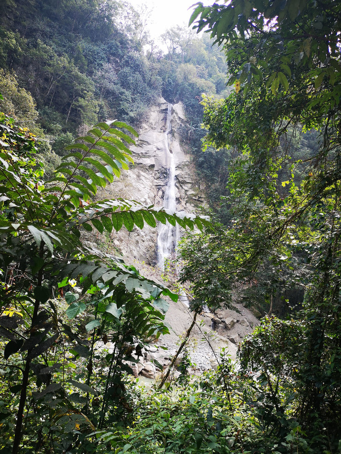
Zamo highway
Arriving at Medog County at noon, Medog in Xizang is called "Boyu Baima Gang", which means "hidden lotus". It is also the birthplace of the legendary Sixth Dalai Lama, Tsangyang Gyatso. In 2013, Medog became the last county seat in China to open highways.
First of all, we came to Renqin Beng Temple located on Nanzemala Mountain in Metuo Village, Metuo Town. As a result, the temple was being renovated and was not open to the public. Then we came to an observation deck called "Mirage", which gave us a panoramic view of the winding Yarlung Zangbo River and the entire Medog County.
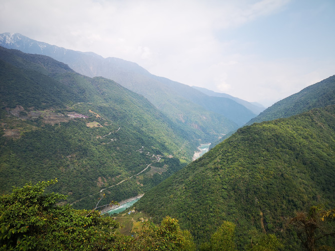
Mirage Observation Deck
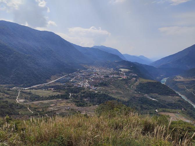
Mirage Observation Deck
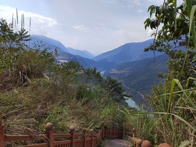
Mirage Observation Deck
Continue from the observation deck to reach the famous big turn of Guogotang on the Yarlung Zangbo River.
The Guogotang Big Turn of the Yarlung Zangbo River is located on the mountain 20 kilometers away from Medog County. It is the most representative attraction in Medog. The Yarlung Zangbo River makes a big bend here at Guogotang, also known locally as the Snake Bend. Guogutang Big Turn is named Guogutang because it looks like a lollipop from above. The Guogotang Big Turn is the real big turn of the Yarlung Zangbo River. There is also a lotus-shaped observation platform at the viewing point for tourists to overlook and enjoy the beautiful scenery of the Yarlung Zangbo Grand Canyon. The clouds are shrouded in clouds and mist, and the scenery is so magnificent that it is amazing.
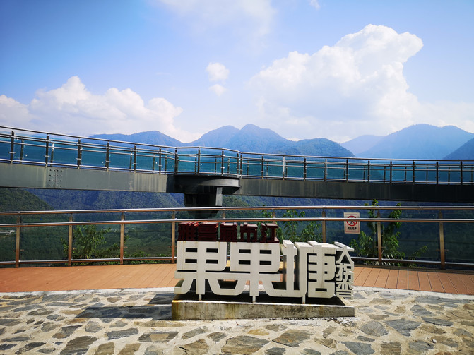
Yarlung Zangbo River Guogotang Big Turn
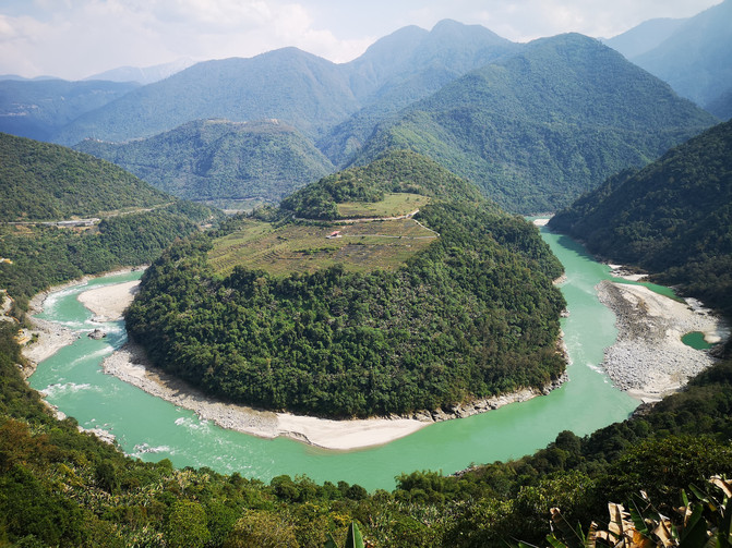
Yarlung Zangbo River Guogotang Big Turn
After leaving the big turn of Guogotang on the Yarlung Zangbo River, we visited the Metuomenluo Historical and Cultural Heritage Museum.
The Metuo Menluo Historical and Cultural Heritage Museum, also known as the "Lotus Pavilion", is located on a mountain top next to the county seat of Metuo. The museum displays in detail the geographical situation of Medog, the farming, production and lifestyle of the Menba and Lhoba ethnic groups, the ancient hunting culture, religion, customs and culture, as well as textile costumes and traditional handicraft culture. It is a historical and cultural heritage museum.
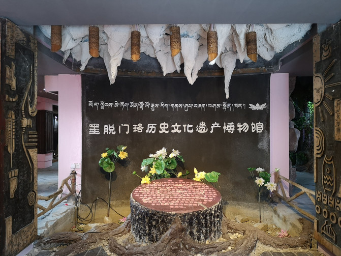
Metuomenlo Historical and Cultural Heritage Museum
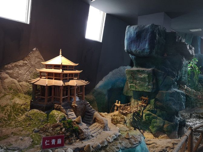
Metuomenlo Historical and Cultural Heritage Museum
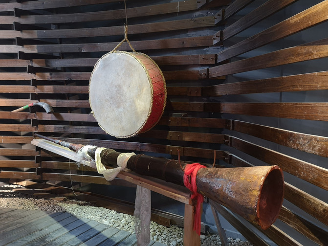
Metuomenlo Historical and Cultural Heritage Museum
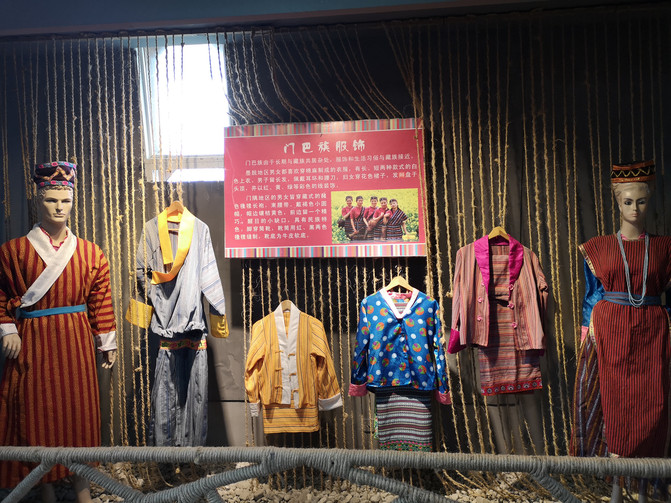
Metuomenlo Historical and Cultural Heritage Museum
Lotus Pavilion is a landmark building in Medog. It has strong Menluo ethnic characteristics. Standing on the viewing platform on the roof, you can see the entire Medog County without dead corners. It is the best viewing point and shooting point in Medog.
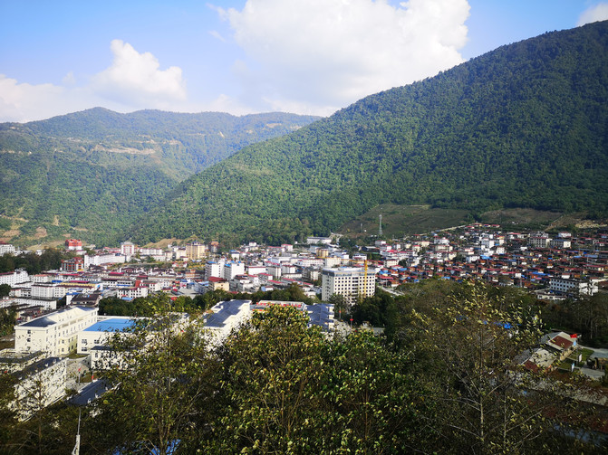
Lianhuagang Observation Platform
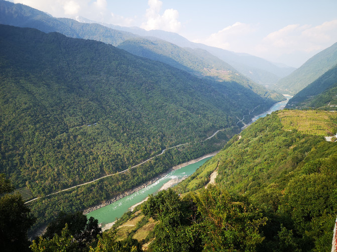
Lianhuagang Observation Platform
Coming out of the museum, we entered Medog County. After checking in at the hotel, we walked around in Medog County.
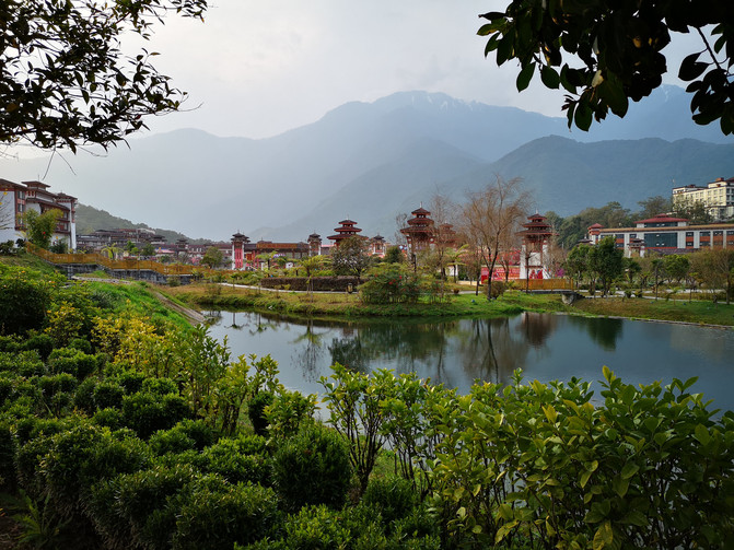
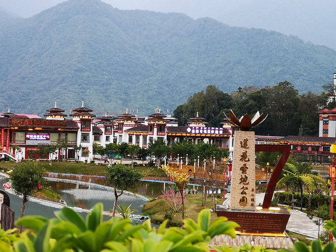
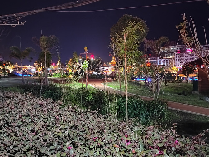
medog County
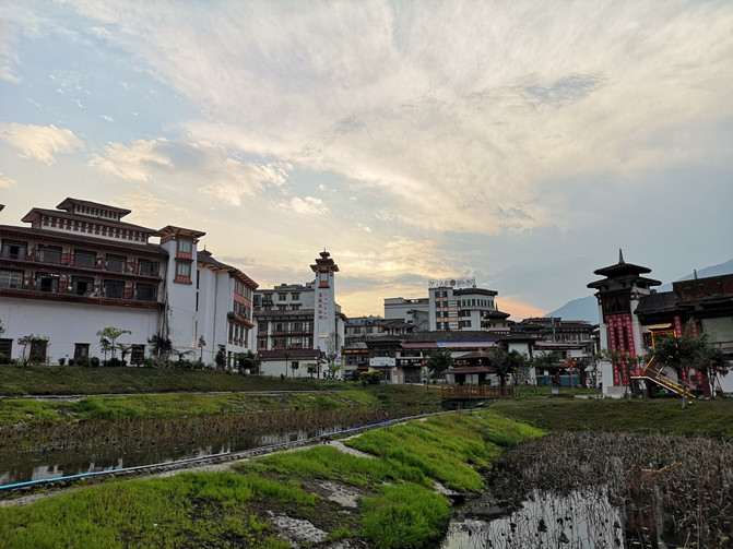
medog County
medog County
medog County
medog County
D7
Today we are leaving Medog and returning to Bomi the same way. In the morning, the Zamu Highway was covered in a layer of fog, and humid air was filled around it.
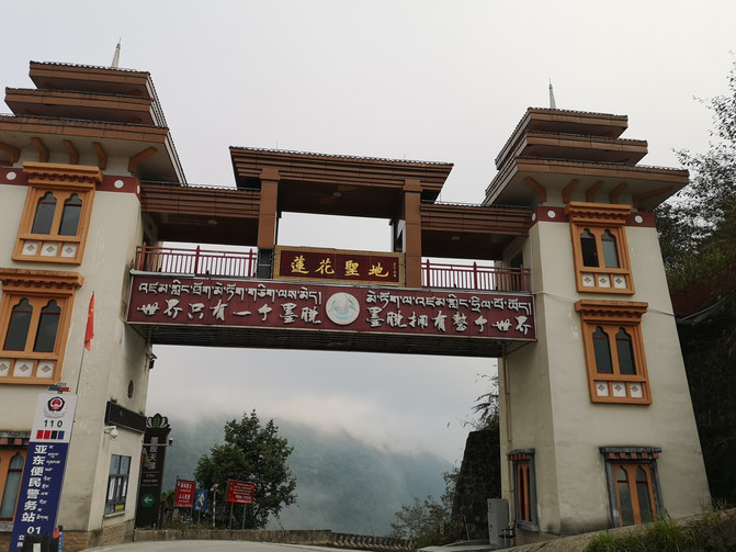
Zamo highway
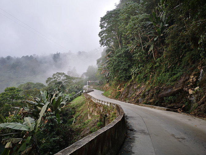
Zamo highway
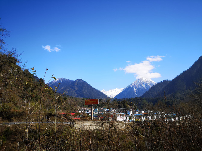
Zamo highway
Follow the Zhamo Highway and you will soon reach the Galongla Tunnel. Through the tunnel, Galong Temple with gold roofs and red walls appeared in front of you against the white snow.
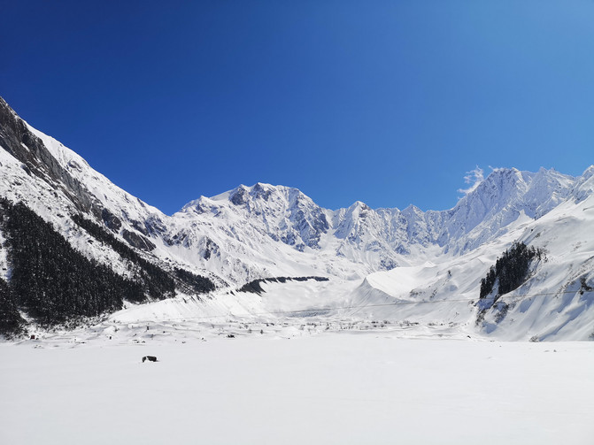
Galongla Snow Mountain
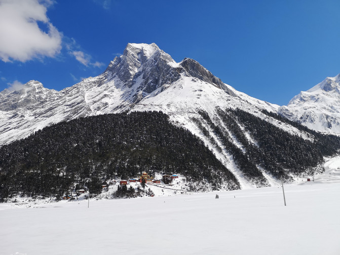
Galongla Snow Mountain
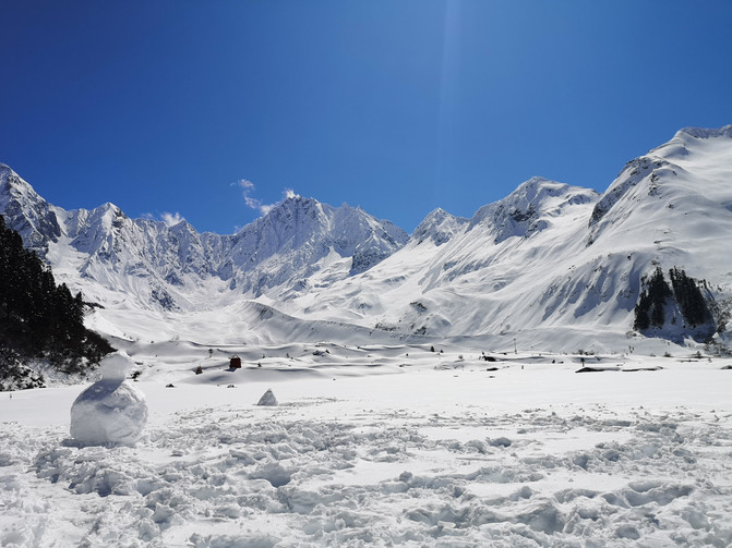
Galongla Snow Mountain
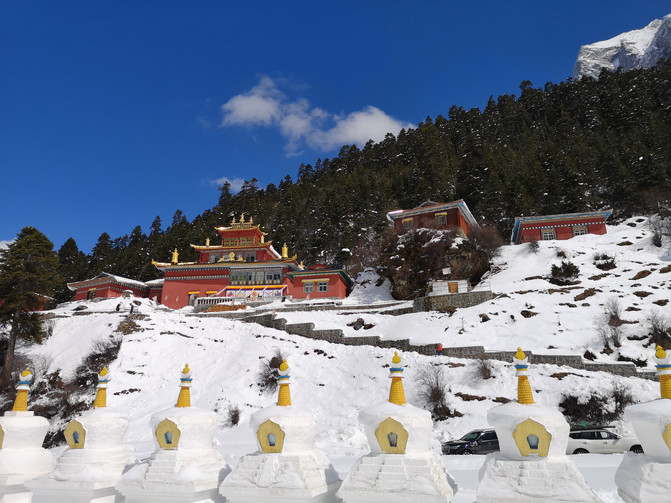
Galong Temple
We stayed in the mountain pass for a while and then left. After having lunch in Bomi County at noon, we told our master that the nearby Gangspruce forest was beautiful, so we decided to go to the Gangspruce forest to play in the afternoon.
The Gangspruce forest is located 22 kilometers west of Bomi Zamu Town, with a forest area of more than 2800 hectares and a forest coverage rate of more than 61%, especially spruce. The scenic area has high mountains and dense trees, towering ancient trees, lakes, mountains, rivers and green trees, forming a charming picture.
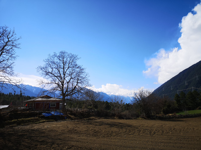
Gangspruce forest
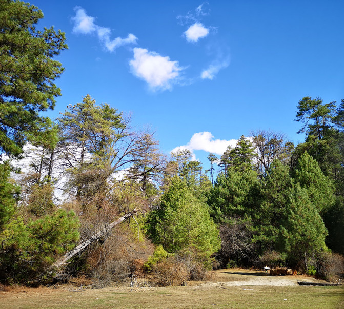
Gangspruce forest
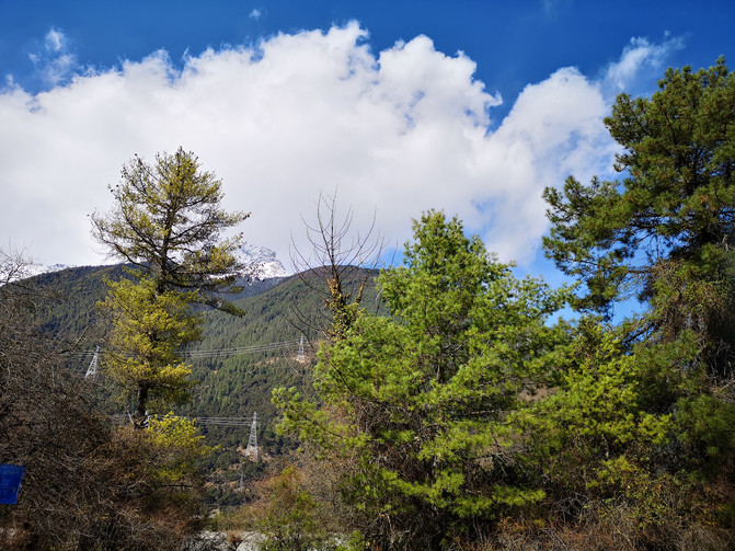
Gangspruce forest
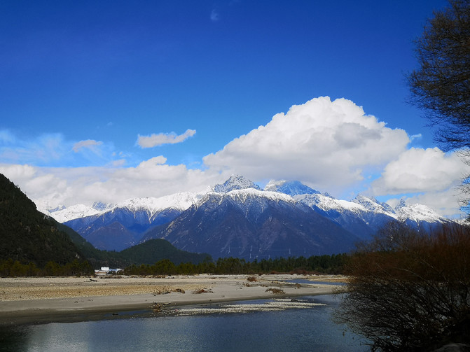
Gangspruce forest

Gangspruce forest
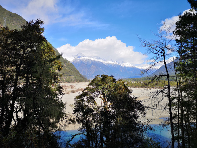
Gangspruce forest
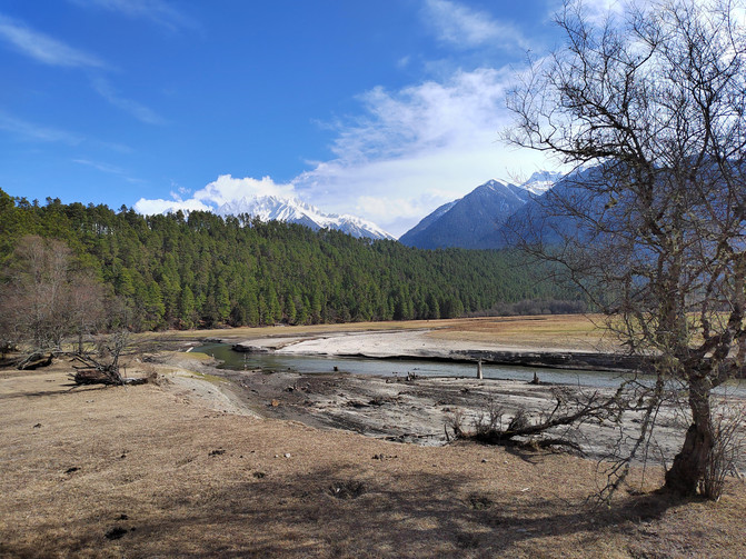
Gangspruce forest

Gangspruce forest
D8
Today, we are coming to visit the ancient glacier. We will come out of Bomi County, follow National Highway 318, and first pass through Ranwu Lake.
Ranwu Lake is located in Ranwu Township, Basu County, Qamdo Prefecture. It is a barrier lake formed by landslides or mudslides blocking the river course. There is Gangrigabu Snow Mountain in the southwest of the lake, Azzongla Glacier in the south, and Boshula Ridge in the northeast. Melting water from the surrounding snow-capped mountains constitutes the main source of water supply for Ranwu Lake, and causes the lake water to pour westward to form one of the upper sources of Palongzangbo, an important tributary of the Yarlung Zangbo River, a famous river in Xizang. The lake is a dense virgin forest and many primitive Tibetan villages.
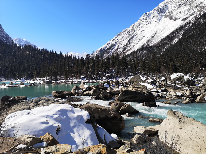
ranwu Lake
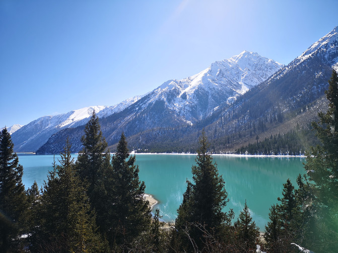
ranwu Lake

ranwu Lake
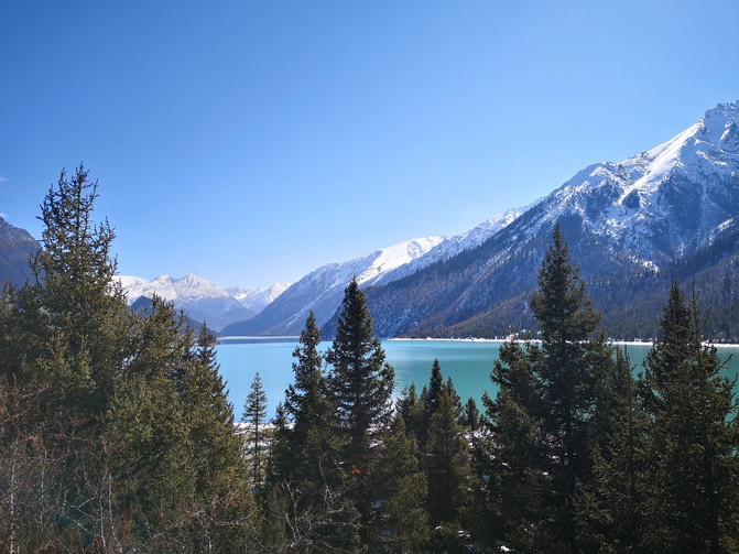
ranwu Lake
On the road, I passed a lake with a reflection of a snowy mountain. The clear snowy mountain was reflected in the green lake as a mirror, like a rich oil painting. There were many self-driving vehicles parked on the roadside, and we also parked here to play for a while.
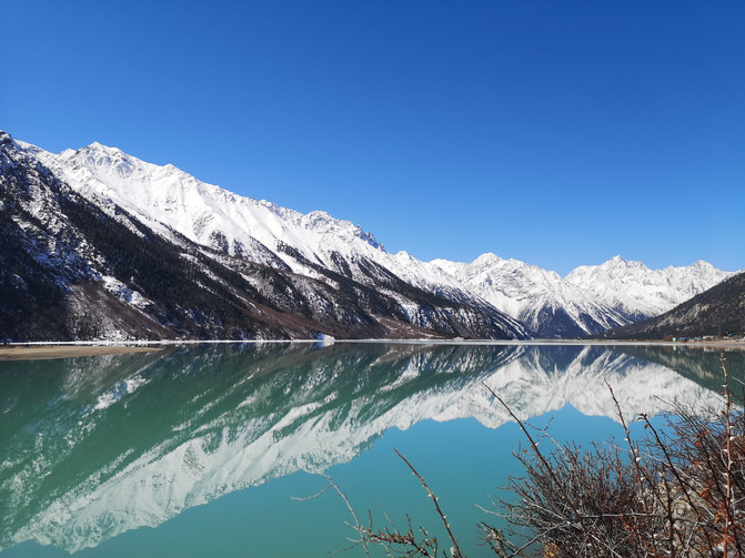
ranwu Lake
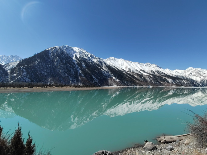
ranwu Lake
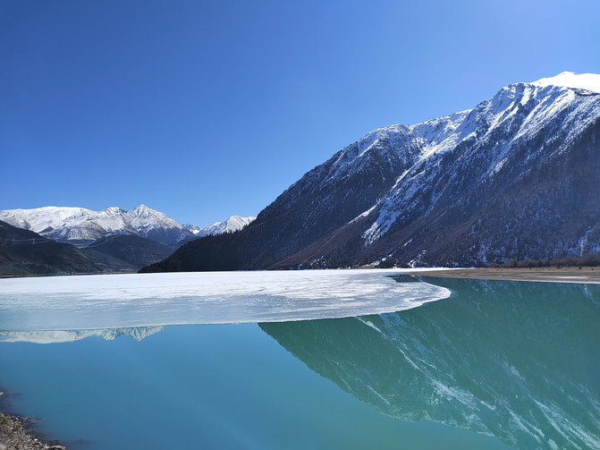
ranwu Lake
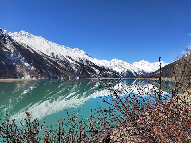
ranwu Lake
Continue along the bank of Ranwu Lake, known as the "Western Heaven Yaochi". The bushes on both sides of the lake are superimposed on white clouds and blue skies, which are reflected into heavily painted pictures in the water.
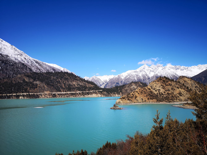
ranwu Lake
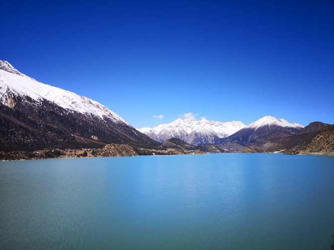
ranwu Lake
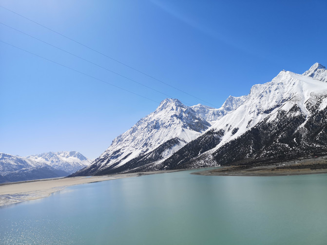
ranwu Lake
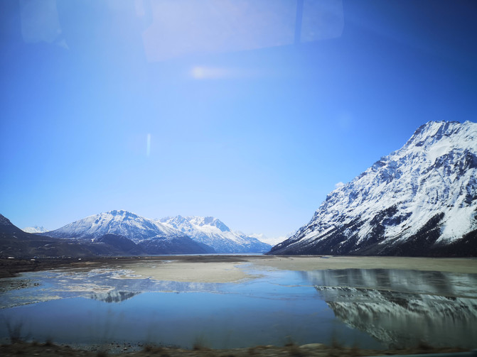
ranwu Lake
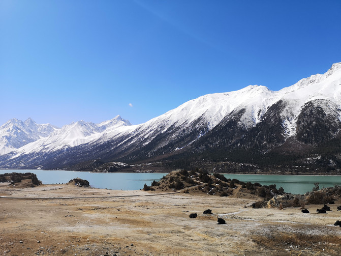
ranwu Lake
It was already noon when we arrived at Laigu Village, where the Laigu Glacier was located. We had to take a sightseeing bus at the entrance of the scenic area and then walk over a small hill to reach the lake.
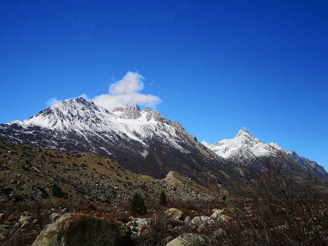
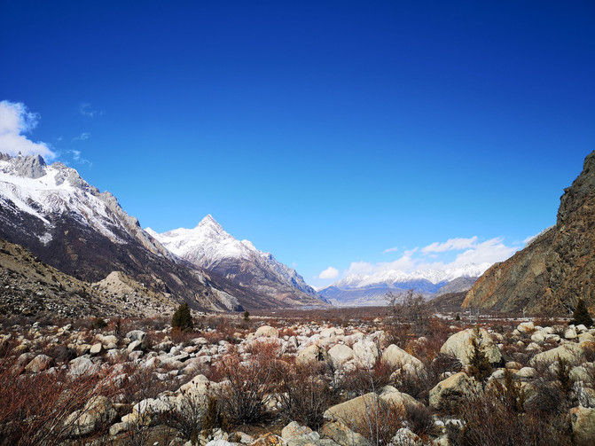
The Laigu Glacier is located in Ranwu Town, Basu County, Qamdo Prefecture, Xizang, adjacent to Ranwu Lake. It is the collective name for a group of glaciers and the source of the Palong Zangbo River. Meltwater ice and snow flows into Ranwu Lake, making it the largest and widest glacier known in Xizang. Around the multiple glaciers in Laigu Village, multiple ice lakes have been formed in front of the village. Due to the different geology and soil composition of different glaciers, each ice lake will reflect different colors. Some ice lakes still float on it. Large and small icebergs look like they have reached the Antarctic. Between the end of the glacier and the ice lake, the broken glacier exposes a faint blue ice layer more than ten meters high.
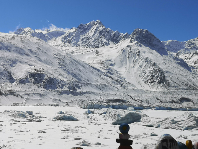
Laigu Glacier
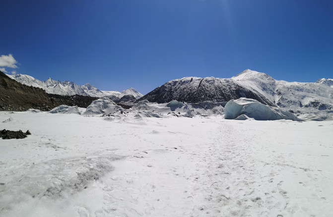
Laigu Glacier
Here, glaciers, lakes, farmland, villages, and forests are integrated together. Snow shines all year round. The glaciers are as clean as jade. They have various shapes and the scenery is magical and charming. It is a model of harmonious coexistence between man and nature.
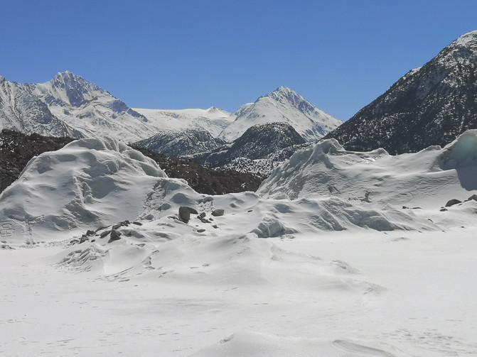
Laigu Glacier
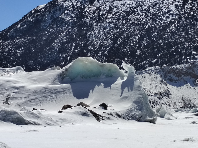
Laigu Glacier
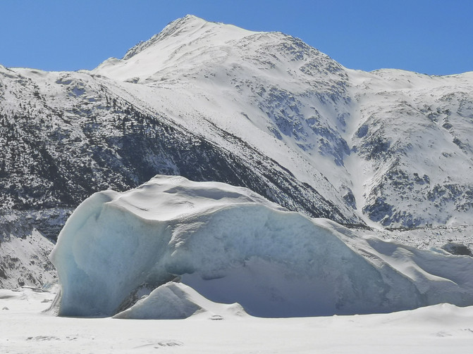
Laigu Glacier
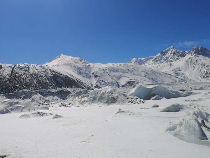
Laigu Glacier
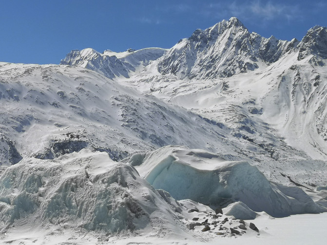
Laigu Glacier
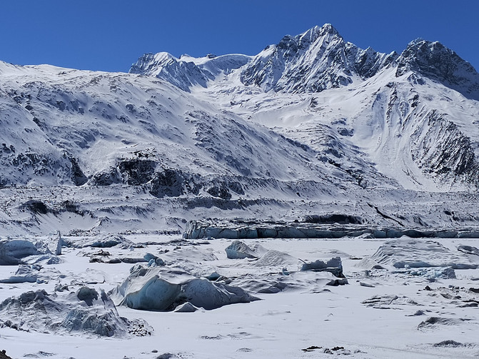
Laigu Glacier
Laigu Glacier
Laigu Glacier
D9
In the morning, we left Bomi and returned to Nyingchi City. Outside Bomi County, not far away is Guxiang Lake.
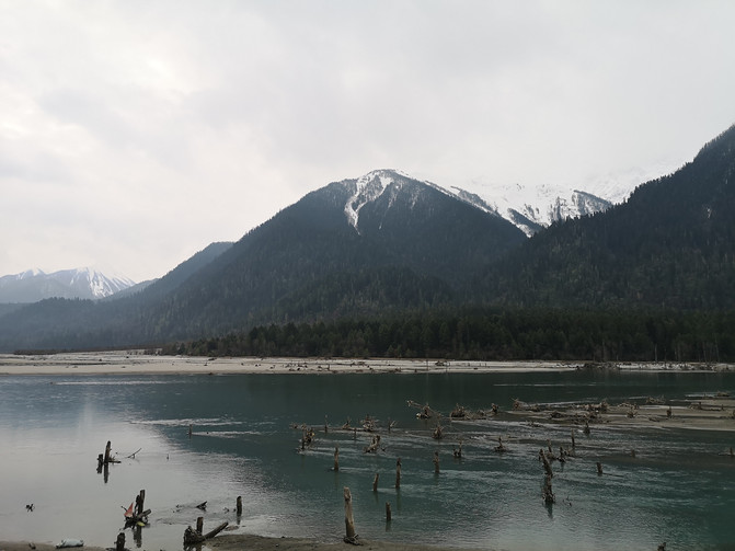
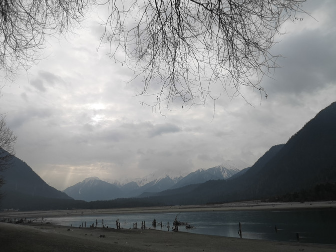
Guxiang Lake is located in the ancient village of Guxiang, 33 kilometers away from Bomi County, Xizang, and 210 kilometers away from the Nyingchi area. The lake surface is 2600 meters above sea level, 5 kilometers long, 2 kilometers wide at the widest point, and more than 20 meters deep at the deepest point. It covers an area of 20000 square meters. It was a freshwater barrier lake formed by the eruption of a huge mudslide in the "Kagong Nongba" caused by the "Xionglu Geini" glacier activity in the back mountain of Guxiang in 1953 and blocking the Palongzangbo River. There is a small island in the lake with an area of more than 1000 square meters. The lake is located on National Highway 318 with convenient transportation and is a natural park.
Guxiang Lake
Guxiang Lake
Due to the thick clouds in the sky and the light was not very good, Guxiang Lake was not as beautiful as imagined. After taking a few photos on the observation deck, we left here. On the return journey, I passed through Lulang Town again and stopped briefly in an alpine meadow called Alpine Ranch.
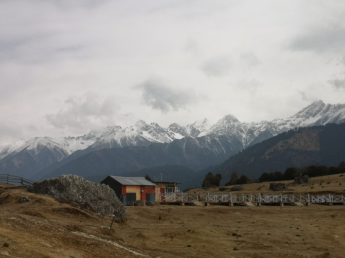
lulang town
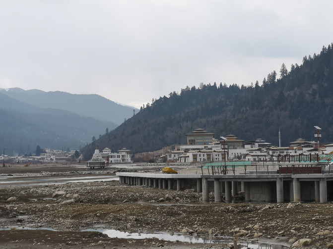
lulang town
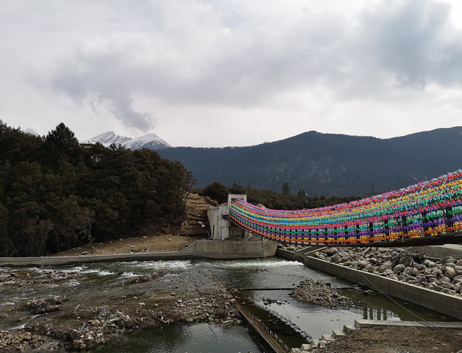
lulang town
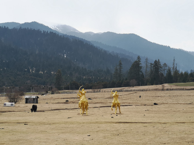
lulang town
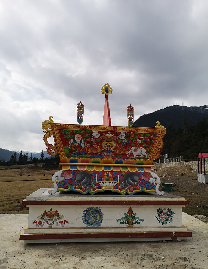
lulang town
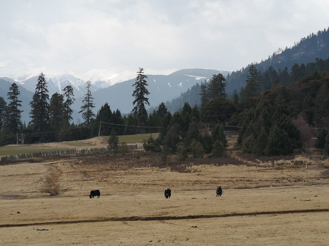
lulang town
When I passed through the Sejra Pass again, the sky was gloomy, and Nangjabawa Peak was still hidden in thick clouds.
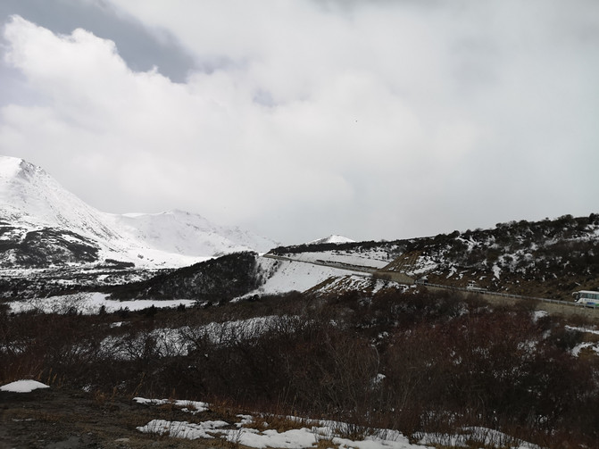
sejila mountain
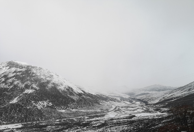
sejila mountain
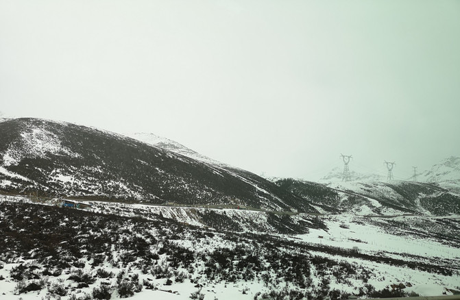
sejila mountain
We didn't have the chance to see Nangjabawa Peak, so we didn't stop and returned to Nyingchi City at noon.
D10
Having ended our journey in Nyingchi, today we return to Lhasa accompanied by the beautiful scenery along the way.
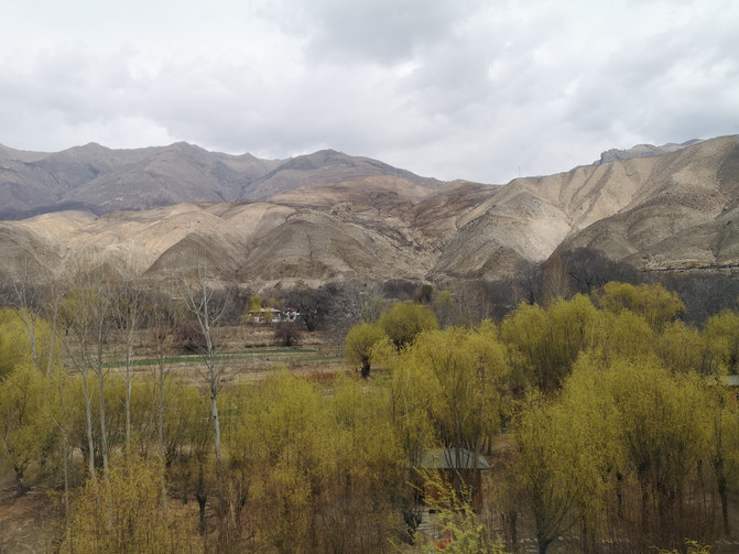
On the way from Nyingchi to Lhasa
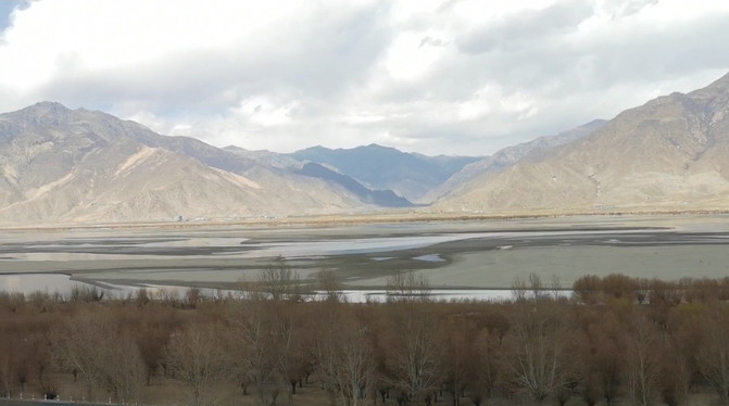
On the way from Nyingchi to Lhasa
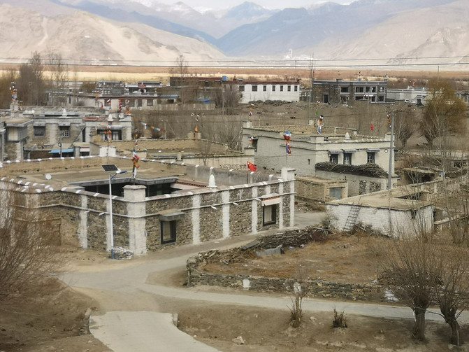
On the way from Nyingchi to Lhasa
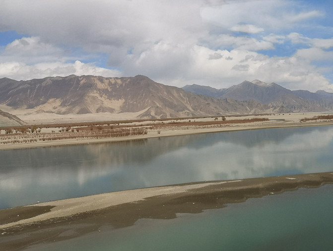
On the way from Nyingchi to Lhasa
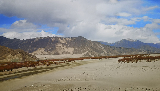
On the way from Nyingchi to Lhasa
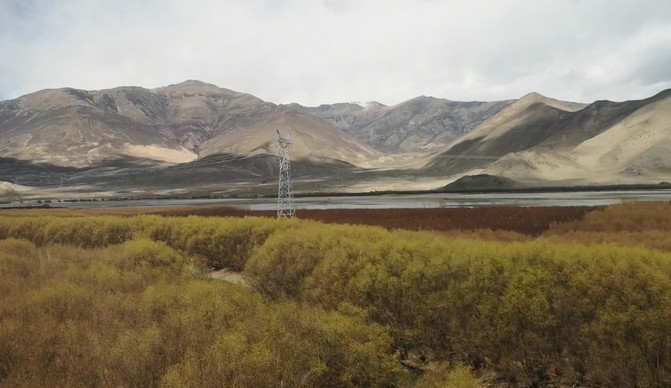
On the way from Nyingchi to Lhasa
After arriving at the hotel and finishing the check-in process, it was already dinnertime. There was a Cuomo jelly shop next to the hotel where we stayed. This is an Internet celebrity shop that sells local snacks. Many locals from Lhasa come here to eat. Tonight, we will have dinner at Tumu jelly shop.
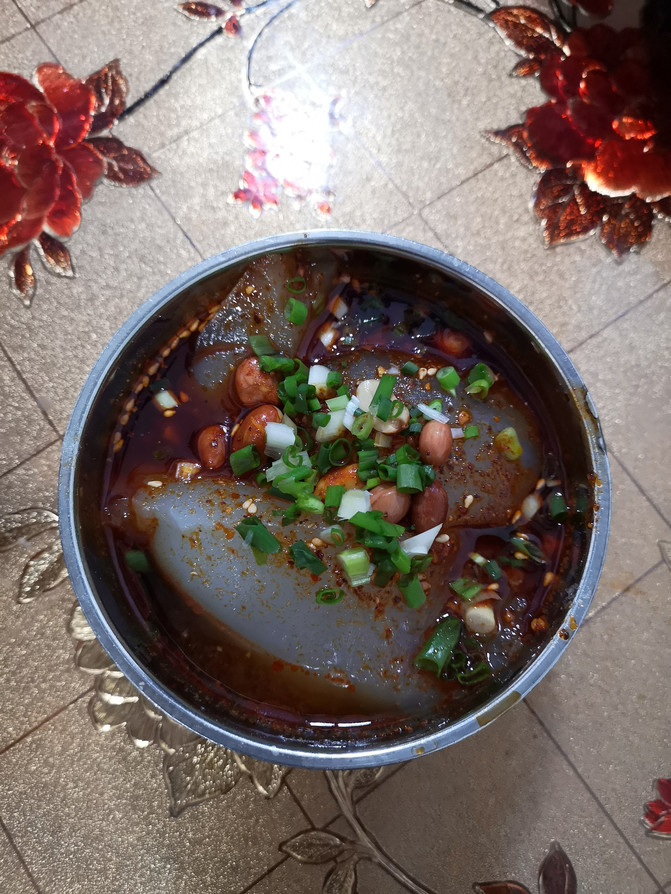
Cuomu jelly
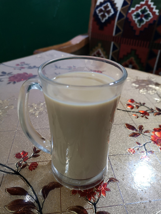
sweet tea
It was still early after dinner, and we came to Barkhor Street not far away.
Barkhor Street, also known as Bajiao Street, is located in the old Urban area of Lhasa City. It is a famous turning road and commercial center in Lhasa, which relatively completely preserves the traditional appearance and living style of the ancient city. The original street of Bakor Street is just a single turning road around Jokhang Temple, which Tibetans call the "Holy Road". Now it is gradually expanding into a large old neighborhood around Jokhang Temple.
The circle around the center of Jokhang Temple is called the "Nangkuo", the circle around the outer wall of Jokhang Temple is called the "Bakuo", and the street radiating from Jokhang Temple is called the "Bakuo Street" or Bajiao Street. With Jokhang Temple as the center, the large circle that includes the Potala Palace, Yaowang Mountain, and Jokhang Temple is called the "Lin Kuo". These three rings from the inside to the outside are the routes for Tibetans to perform the Buddhist ritual.
There are many shops selling tourist specialties on Barkhor Street. Tourists come and go, and Tibetans who transfer scriptures respectfully carry out their transfer rituals.
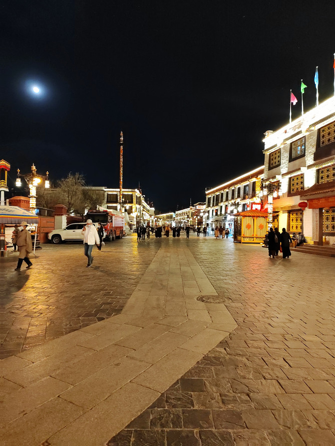
barkhor Street
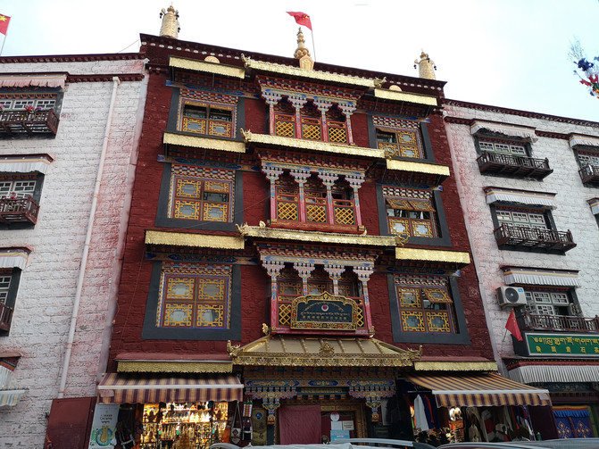
barkhor Street
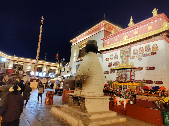
barkhor Street
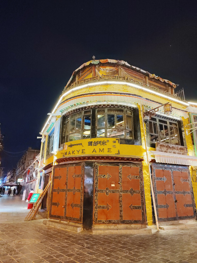
barkhor Street
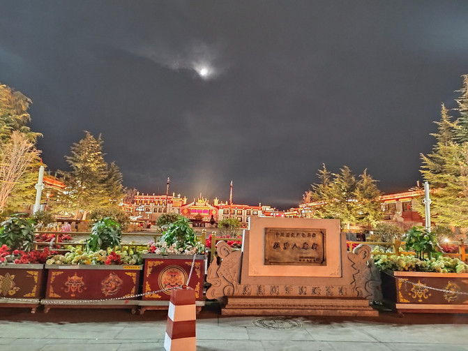
barkhor Street
D11
There are many temples in Lhasa, mainly including Jokhang Temple, Jokhang Temple, Sera Temple and Drepung Temple, as well as Canggu Temple and Zhaji Temple. Jokhang Temple requires an appointment in advance. We made an appointment to visit Jokhang Temple this afternoon. In the morning, we first visited Canggu Temple and Jokhang Temple, which are not far from Jokhang Temple.
First, we came to Canggu Temple located on Bakor Street. The bhishuni masters of Canggu Temple run a sweet teahouse, which is a gathering place for local Tibetans. It is filled with nuns from the temple who come to cook and serve meals. Most of the people who come here are Lhasa locals, chatting while eating. We haven't had breakfast today, so we went to the Sweet Tea House for breakfast first.
Go through the front door and enter the teahouse. The store is small but clean, filled with elderly Tibetan people drinking tea and chatting. We ordered vegetarian Tibetan noodles, vegetarian steamed buns and sweet tea, sat down in a corner on the second floor, and ate while looking at the bustling crowd outside the window.

Canggusi Tea House
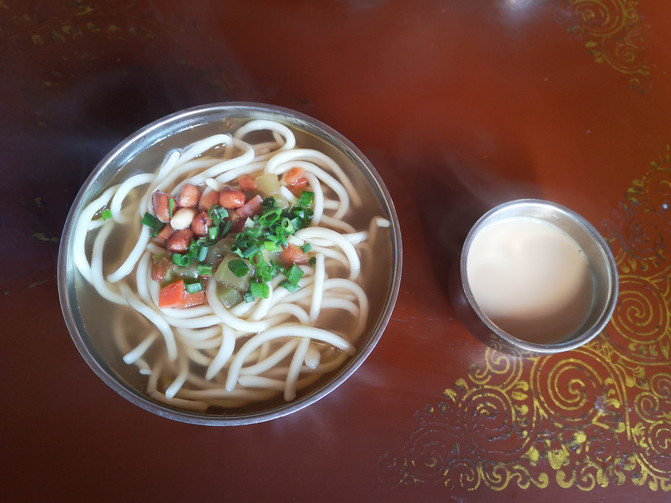
Vegetarian noodles and sweet tea
After breakfast, we visited Canggu Temple next to it.
Canggu Temple is located in Lhasa City, Xizang. It is a Gelug Sect temple of Tibetan Buddhism and the only nun temple in Lhasa City. Canggu Temple is most famous as the Songzan Ganbu Cultivation Cave on the ground floor of the main Buddha Hall. The cave houses a statue of Songzan Ganbu, the king of Tubo. Every day, three full-time nuns are here, chanting scriptures and praying on time, placing offerings, or replacing lamp oil.
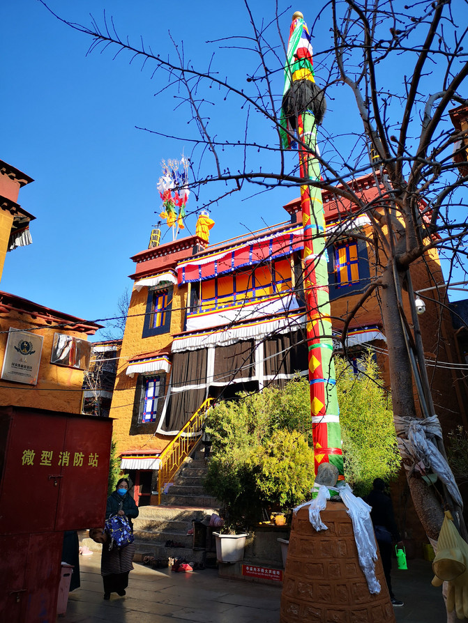
Canggu temple
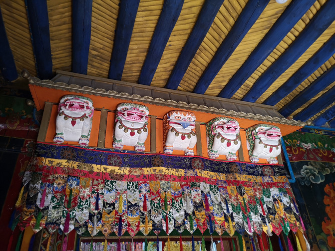
Canggu temple
Canggu Temple is not very large, so the visit was completed quickly. After walking for more than 20 minutes, we arrived at the Jokhang Temple.
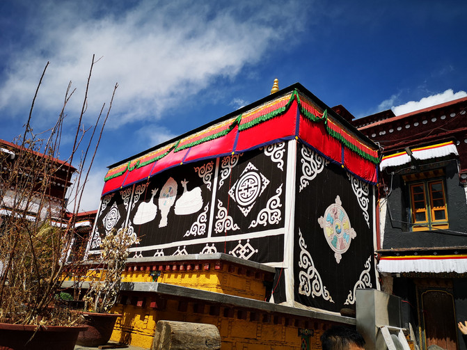
The Xiaozhao Temple is called "Jiada Raomuche" in Tibetan. It is located about 500 meters north of Bako Street in Lhasa, Xizang. It was built in 641 in the middle of the 7th century (the Tibetan Year of the Iron Ox) and was laid by Princess Wencheng. The architectural style of Xiaozhao Temple combines the characteristics of Han-Tibetan architecture. It is not only one of the earliest temples in Xizang, but also a symbol of the unity and friendship of the two ethnic groups. It occupies an extremely important position in the history of Han-Tibetan ethnic relations. The Jokhang Temple has been burned several times in its history. Most of the existing Jokhang Temple buildings were rebuilt later. Only the ground-floor shrine is an early building, and the Tibetan legacy can be vaguely seen on the 10 pillars in the hall.
Today is exactly the 15th day of the first month of the Tibetan calendar. Many Tibetans come to Jokhang Temple to worship Buddha. Everyone lined up in a long line, waiting to pay homage in front of the Buddha statue of Sakyamuni.
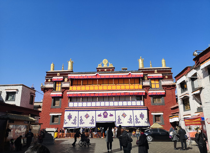
the Jokhang Temple
It was already noon after visiting Jokhang Temple, and it was almost time for us to make an appointment to visit Jokhang Temple, so we walked back to Jokhang Temple Square.
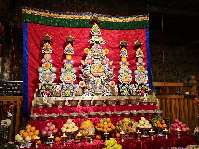
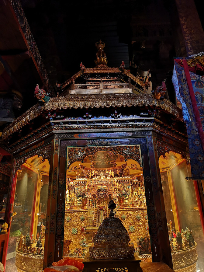
Jokhang Temple, also known as "Zulakang" and "Juakang"(Tibetan means Buddha Hall), is located in the center of the Laocheng District of Lhasa. It has a history of more than 1300 years. It integrates the architectural styles of Tibet, Tang, Nepal and India. It is the most glorious Tibetan period building in Xizang and the earliest civil structure building in Xizang. It also created a Tibetan-style temple layout and became a model of Tibetan religious architecture. It has a supreme status in Tibetan Buddhism. The temple was originally called "Resa", and later Resa became the name of the city and evolved into the current "Lhasa". After the completion of the Jokhang Temple, it was repeatedly revised and expanded in the Yuan, Ming and Qing dynasties before it became its current scale. Fragrant incense lingered in front of the temple all day long, and the believers bowed piously and left a deep mark of the length of their head on the bluestone floor in front of the door. Thousands of butter lamps always shine, leaving traces of time and pilgrims.
There were noisy voices in the Jokhang Temple Square, and many Tibetans bowed their heads long in front of the Jokhang Temple in prayer.
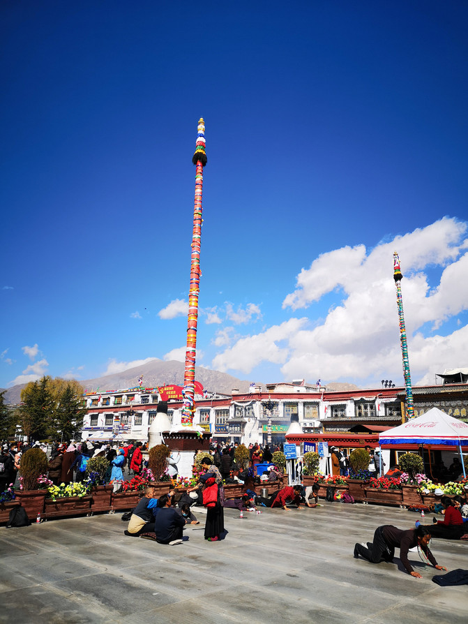
Jokhang Temple Square
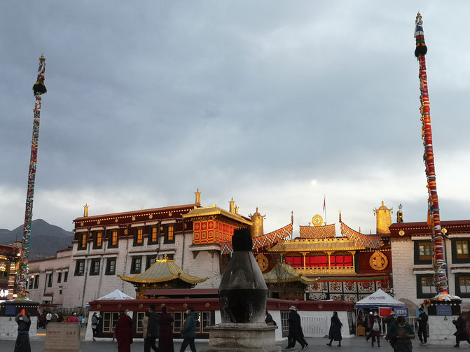
Jokhang Temple
Jokhang Temple
Jokhang Temple
Jokhang Temple

Jokhang Temple

Jokhang Temple
The Jokhang Temple was even more crowded, and many Tibetans came to worship with butter and hada. Mixed in the crowded crowd, there was no way to appreciate the exquisite Buddha statues and murals, so he walked around hurriedly and came out. It was too early to leave Jokhang Temple, so we decided to go to Norbulingka. After getting off the bus at Norbulingka, I saw that the Xizang Museum was opposite the station, so I decided to visit the Xizang Museum first.
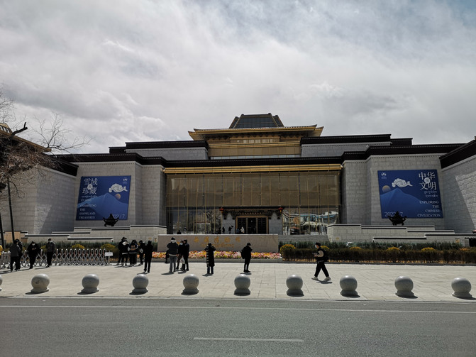
Xizang Museum is located in the southeast corner of Norbulingka, Lhasa City. It is the first museum with modern functions in Xizang. It has distinctive characteristics of traditional Tibetan architectural art, and at the same time deeply reflects the practical characteristics and artistic charm of modern architecture. The museum's exhibition hall consists of four major parts: prehistoric culture, indivisible history, culture and art, and folk culture. It displays to people more than a thousand pieces of treasures of various types, such as statues of Buddhas and Bodhisattva figures of various textures and shapes, handwritten Tibetan classics such as gold powder, silver powder, coral powder, etc., gold seals awarded to the Great Living Buddha by the central government of successive dynasties, gold vases and jade sticks used in the gold bottle lot-drawing ceremony, colorful Thangka paintings, various musical instruments, and implements. Handicrafts with distinctive national characteristics, pottery with unique styles, etc.
Xizang Museum

Xizang Museum
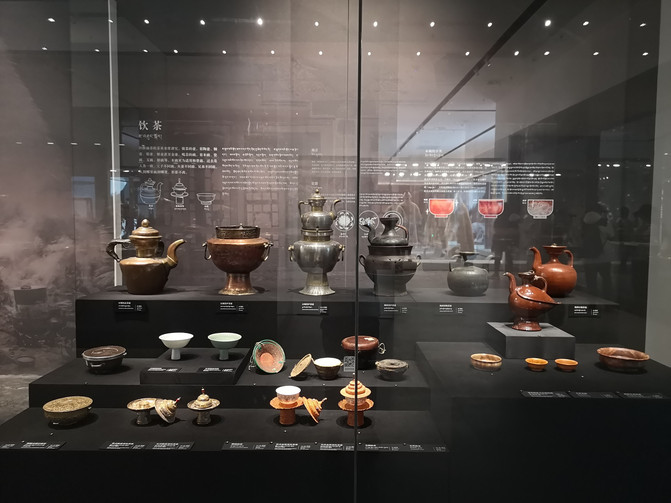
Xizang Museum
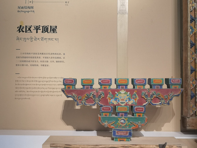
Xizang Museum

Observation deck of Xizang Museum
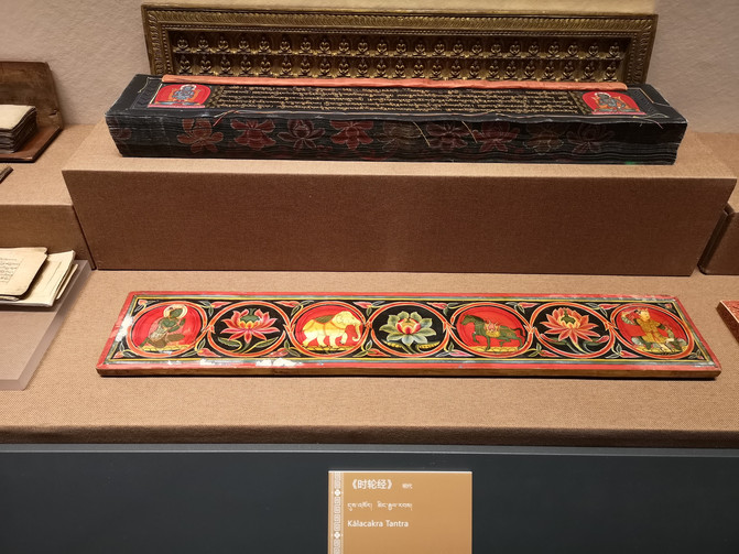
Xizang Museum
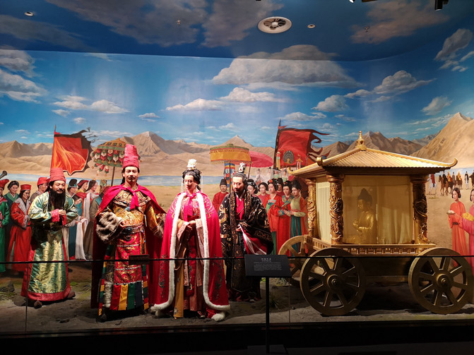
Xizang Museum

Xizang Museum
It was nearly 5 o'clock after visiting the Xizang Museum. We were a little tired today, so we stopped going to Norbulingka for the time being, so we took the bus back to the hotel to rest.
D12
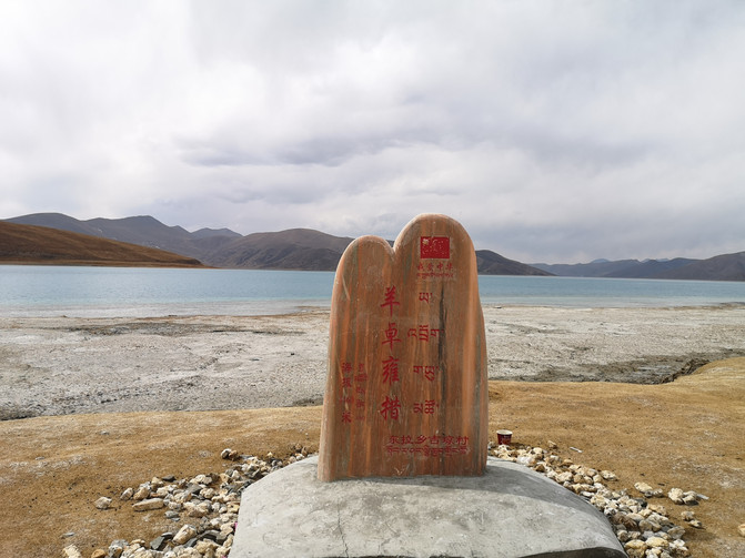
Today we are going to visit YangzhuoYongcuo, one of the three major sacred lakes in Xizang. Because there is no direct shuttle bus to YangzhuoYongcuo, we chose to take a one-day tour with a group.
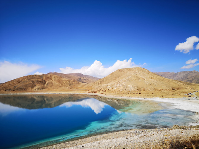
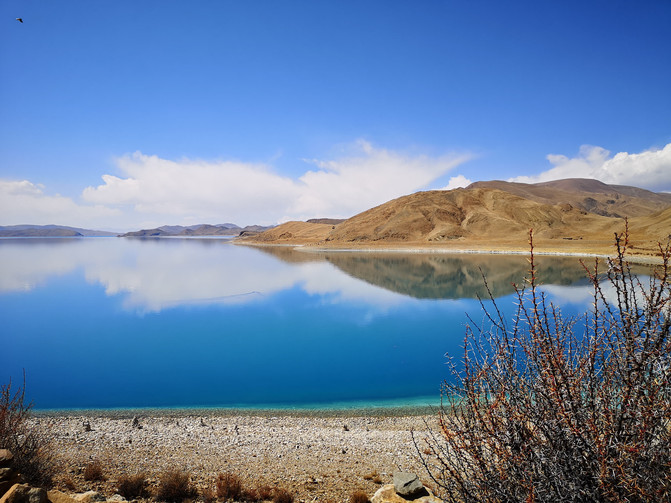
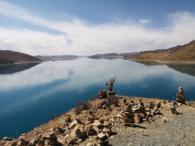
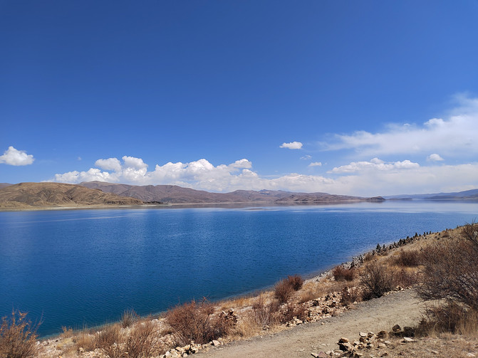
Yangzhuo Yongcuo is referred to as Yanhu, and Tibetan means "Biyu Lake". It is located in Langkazi County in the Shannan Prefecture of Xizang. Together with Namtso and Mapang Yongcuo, it is also known as the three major sacred lakes in Xizang. It is the largest inland lake at the northern foot of the Himalayas. The beauty of lakes and mountains makes southern Tibet the best. The blue waves of Yanghu Lake are like a mirror, and the lake is rich in water and grass. It is a fertile plateau pasture. The local Tibetan people praise Yangzhuo Yongcuo with folk songs: "A fairyland in the sky, Yangzhuo in the world. The stars in the sky, the cattle and sheep by the lake."
In the morning, the travel agency's car came to the hotel to pick us up. After leaving Lhasa, the car drove along the winding road in the mountains. Passing through several observation platforms on the way, you can view the Yanghu Lake from different angles.
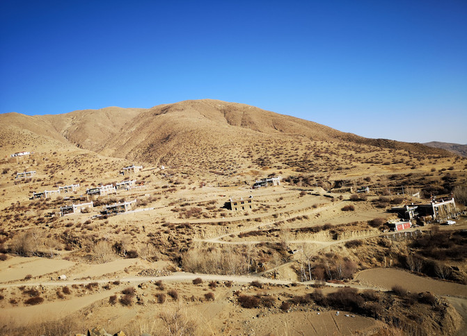
En route from Lhasa to YangzhuoYongcuo

En route from Lhasa to YangzhuoYongcuo

Rurila Observation Platform
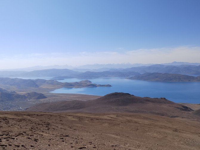
Rurila Observation Platform
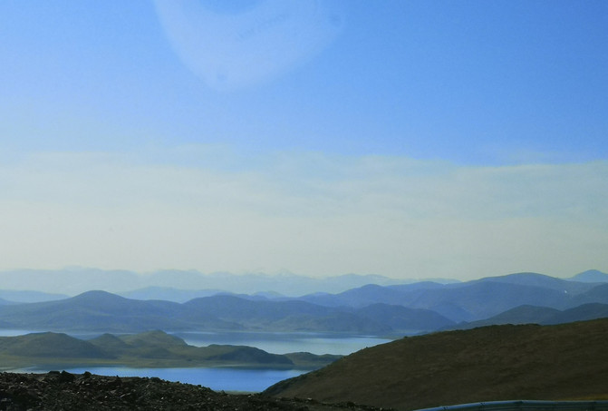
Rurila Observation Platform
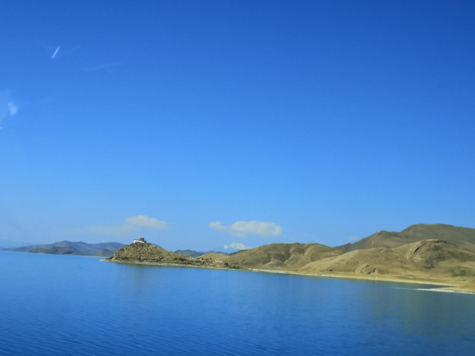
Rurila Observation Platform
After a bumpy journey, I arrived at the daycare temple at noon.
Dayu Temple means "stone on the mountain" and is built on a peninsula on the north bank of YangzhuoYongcuo. It is built next to the mountain and is the only building on the peninsula. There is only one monk stationed in the temple all year round, and he spends his whole life guarding the temple alone. He is called the loneliest temple in the world. One lake, one temple, and one monk have spent 700 spring and autumn years in this way. The four seasons alternate, with the sunrise and sunset. Cultivation is to stay here until it becomes a way of life that can no longer be separated from.
Standing on the island surrounded by lakes and blowing the lake wind, you can feel the feeling of being surrounded by sheep lake 360 degrees. The blue sky, the green lake and the brown mountain Zhu Temple are like a dream picture, making people feel as if they are outside the world, feeling relaxed and happy, and the sea and sky are broad.

yangzhuoyongcuo
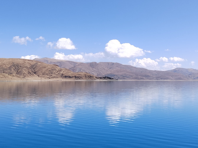
yangzhuoyongcuo
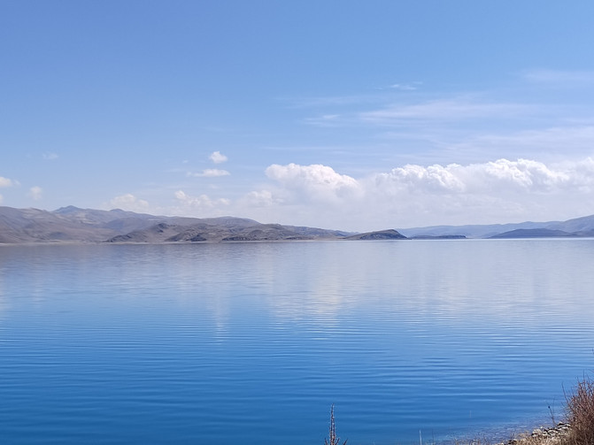
yangzhuoyongcuo
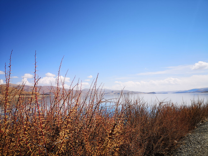
yangzhuoyongcuo
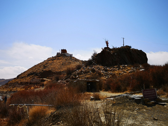
Tioji Temple
yangzhuoyongcuo
yangzhuoyongcuo
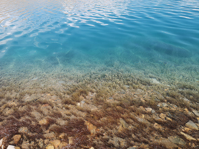
On the peninsula, you can get close contact with Yanghu. The lake water is blue and clear, white clouds are reflected on the water, and water plants sway in the water in the shallow water near the shore.
yangzhuoyongcuo
yangzhuoyongcuo
yangzhuoyongcuo
yangzhuoyongcuo
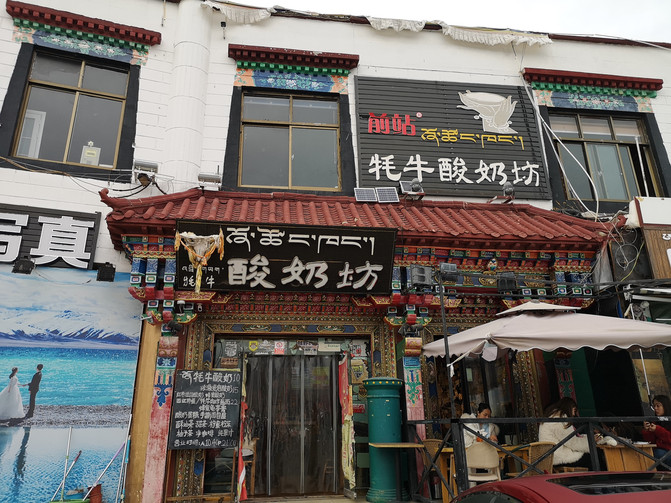
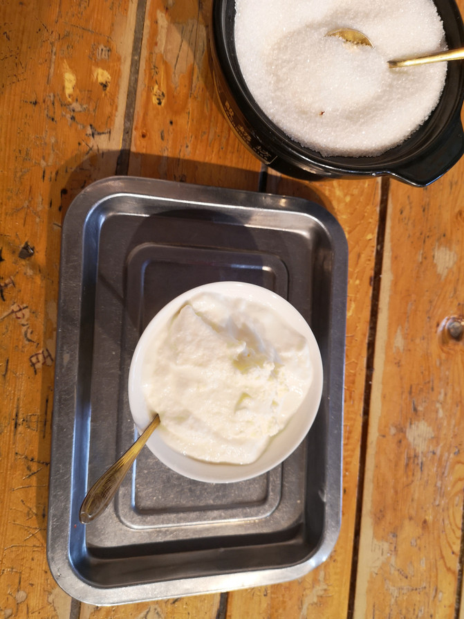
It was already 7 o'clock in the evening when I returned to Lhasa. I got off the bus at the Baita parking lot near the Potala Palace. There was a popular yak yogurt shop next to it, so I tasted the yak yogurt with a strong milky aroma.
Yak Yoghourt Store
yak yoghourt
Yaowang Mountain near the Baita Parking Lot is the best place to see the panoramic view of the Potala Palace. The Potala Palace on the back of the RMB 50 was photographed here. We planned to go to Yaowang Mountain to see the panoramic view of the Potala Palace, but tourists were not allowed to enter Yaowang Mountain after 5 o'clock. We had to go to the Potala Palace Square opposite the parking lot and wait to see the night view of the Potala Palace.
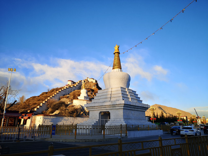
baita
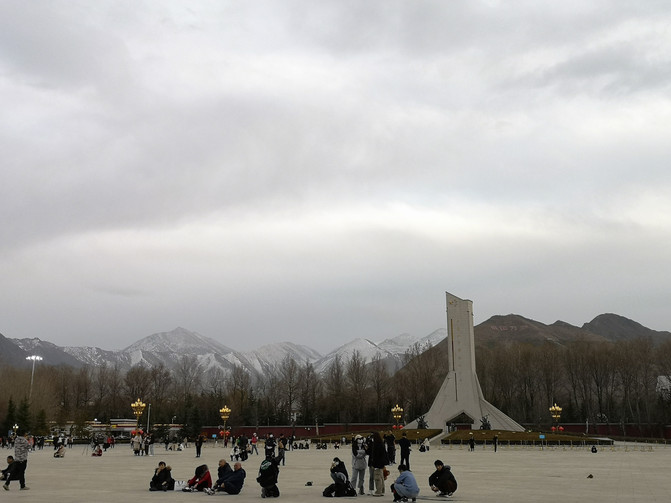
Potala Palace Square
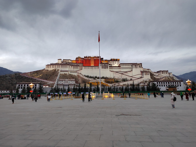
Night view of the Potala Palace
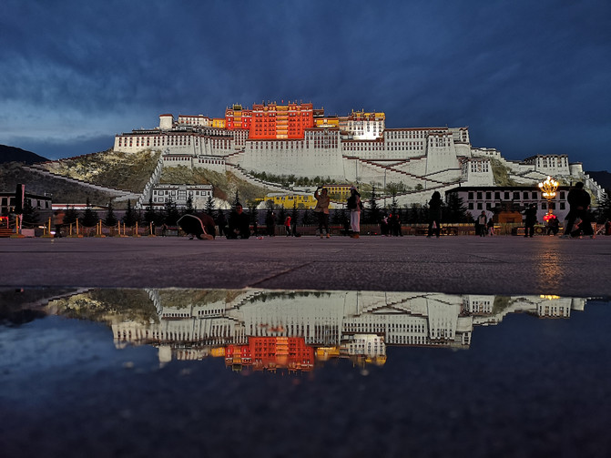
Night view of the Potala Palace
D13
The Potala Palace is a must-visit place when visiting Xizang. We made an appointment to visit the Potala Palace 2 days in advance.
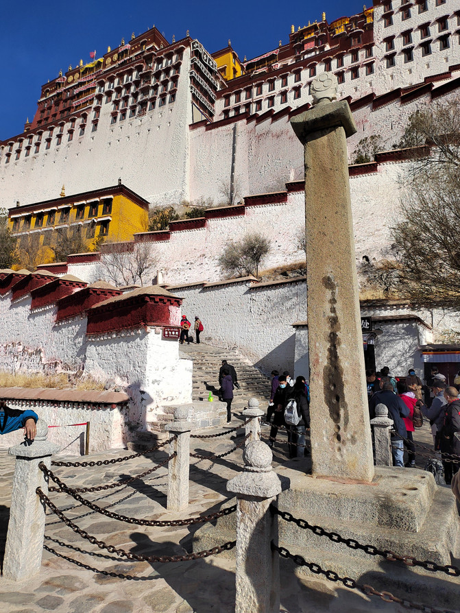
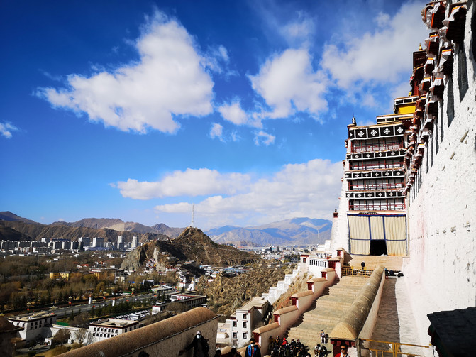
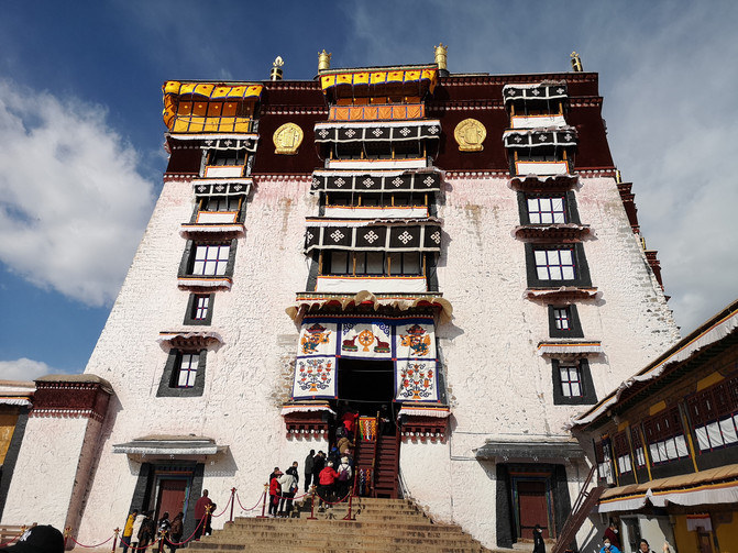
The Potala Palace is located on Maburi Mountain northwest of Lhasa, the capital of the Tibet Autonomous Region of China. It is a palace-style building complex. It was originally built by Zampu Songzan Gambo of the Tubo Dynasty to marry Princess Wencheng. After being rebuilt in the 17th century, it became the Winter Palace residence of successive Dalai Lama and the ruling center of the unity of religion and religion in Xizang. The Potala Palace is built on the mountain and integrates palaces, castles and temples. The temples are tall and majestic. The entire palace has a Tibetan style. The east and west sides of the main building extend downward respectively, connected with the tall palace walls, and is divided into two parts: the White House and the Red Palace.
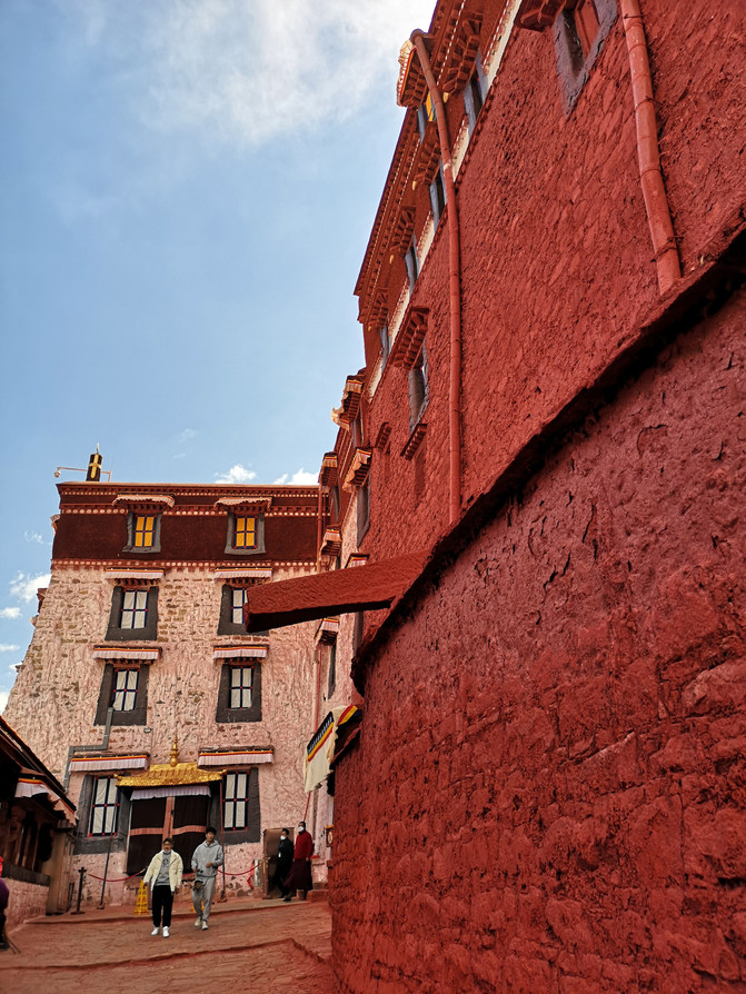
Entering the Potala Palace, we first visited the White House, and then walked up the stone steps to the Red Palace. The Red Palace is magnificent and displays a large number of exquisitely crafted precious cultural relics. No photos are allowed inside the Red Palace.
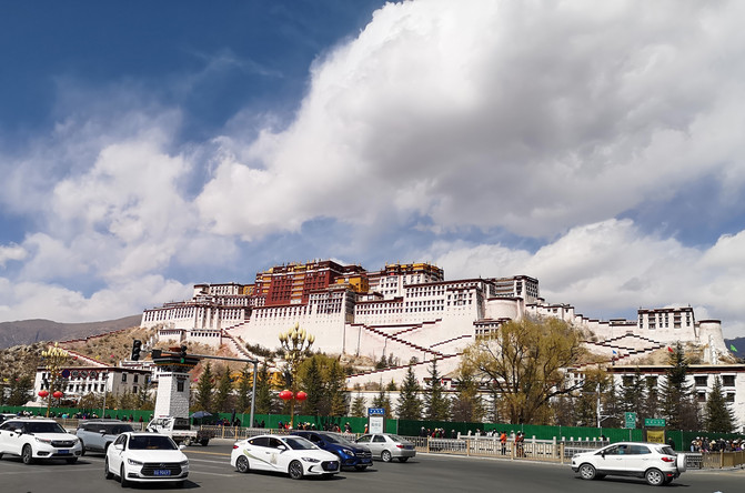
Potala Palace
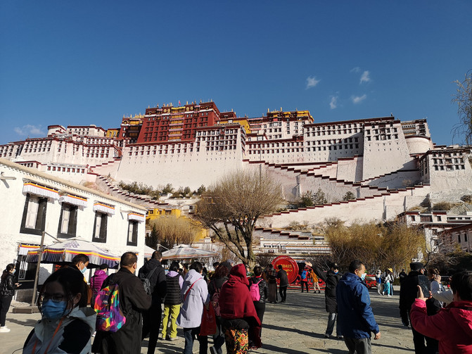
Potala Palace
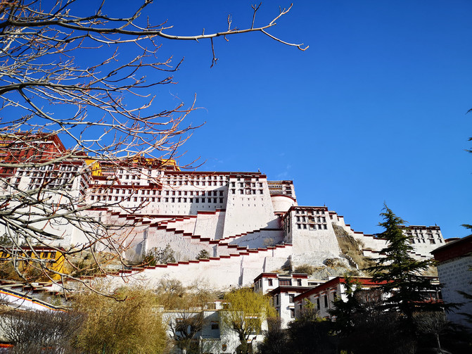
Potala Palace
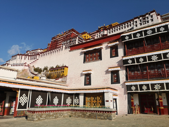
Potala Palace
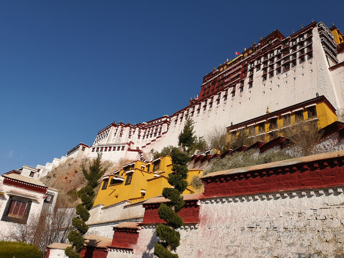
Potala Palace
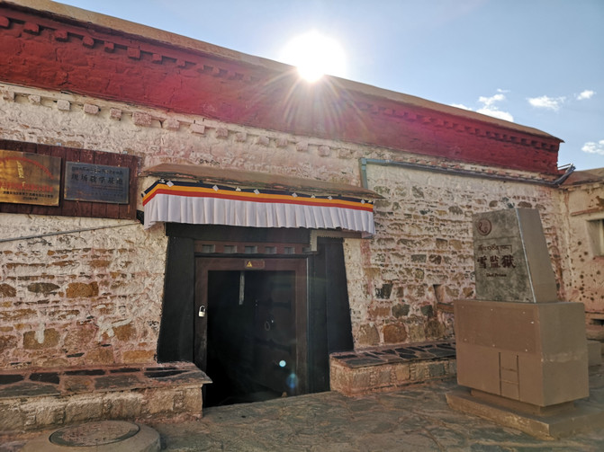
Potala Palace
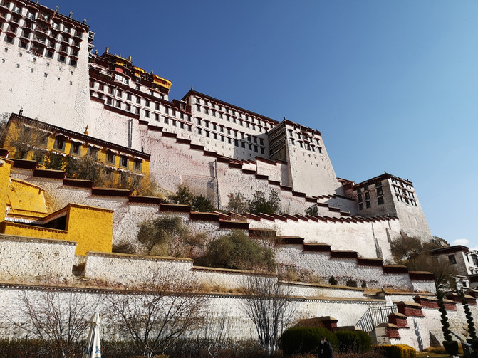
Potala Palace
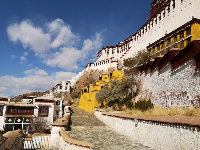
Potala Palace
Potala Palace
Potala Palace
Potala Palace
Potala Palace
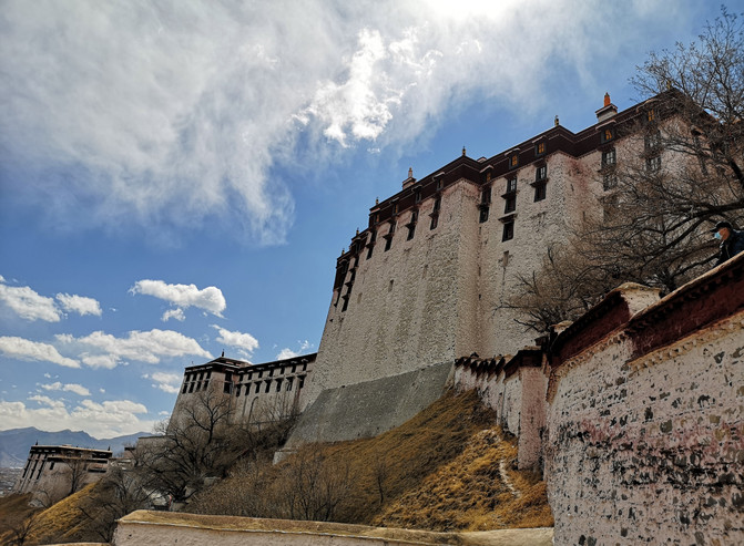
Potala Palace
Coming down from the back mountain of the Potala Palace, at the foot of the mountain is Zongjiao Lukang Park, a citizen park in Lhasa City. Cuojiji Lake is an artificial lake in Zongjiao Lukang Park. Ancient willow trees are planted next to the lake, giving a charming scenery.
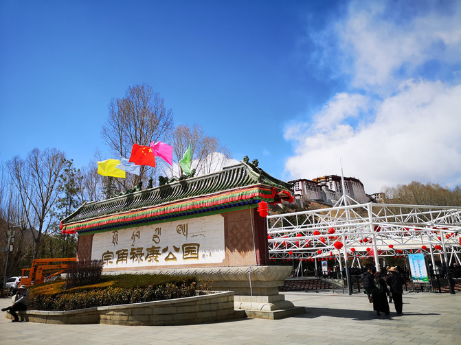
zongjiao Lukang Park
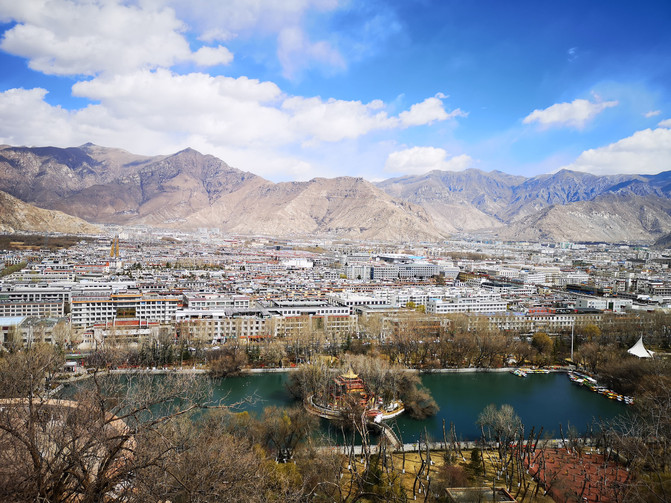
zongjiao Lukang Park
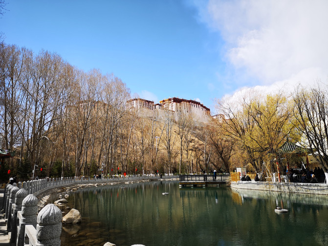
zongjiao Lukang Park
Coming out of Zongjiao Lukang Park, we took a bus to Norbulingka, located in the western suburbs of Lhasa, Xizang.
Norbulingka was built in the 1840s (Dalai Lama VII). It is the place where successive Dalai Lama spent the summer and managed politics. It is a typical Tibetan-style garden. After more than 200 years of expansion, the whole park covers an area of 360,000 square meters. The buildings are mainly composed of Gesang Po Zhang, Golden Po Zhang, and Dadeng Mingjiu Po Zhang. It is the largest garden with the best scenery and the most historical relics among the artificial gardens in Xizang. Terrace is built high and ponds are dug low. Let nature take its course and win the scenery. Norbulingka's garden layout not only has the characteristics of the Xizang Plateau, but also absorbs traditional inland garden techniques, using buildings, rocks, water surfaces, and trees to create different artistic conceptions. The park is densely covered with trees, and among the green trees, Tibetan-style buildings such as the Lake Center Palace, the Dragon King Pavilion, and the Golden Linka are looming in the middle, making them beautiful and moving. The fresh air and peaceful environment have a simple and natural taste unique to Xizang gardens.
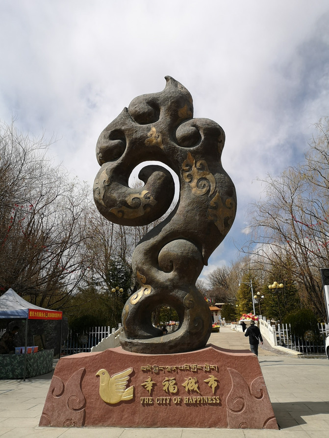
Norbulingka
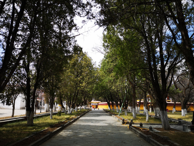
Norbulingka

Norbulingka
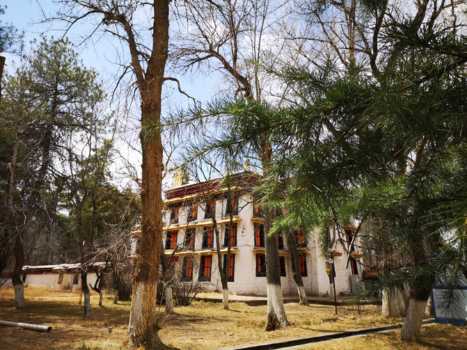
Norbulingka
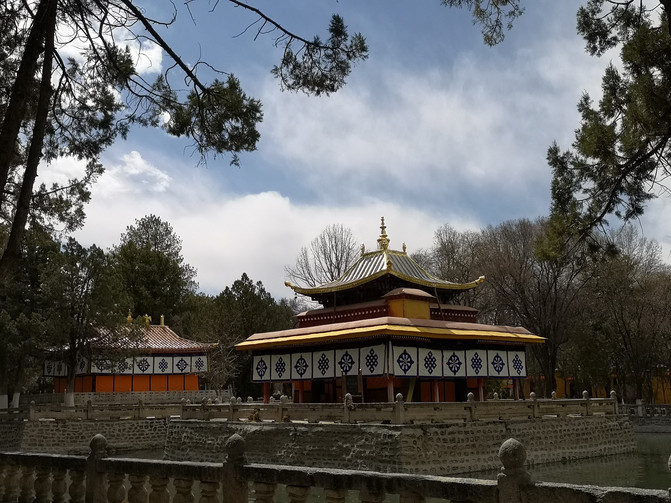
Norbulingka

Norbulingka
After visiting Norbulingka, we returned to Barkhor Street and tasted the delicious Tibetan-style yak meat hot pot at a Tibetan restaurant called Nansalong Tibetan Food.
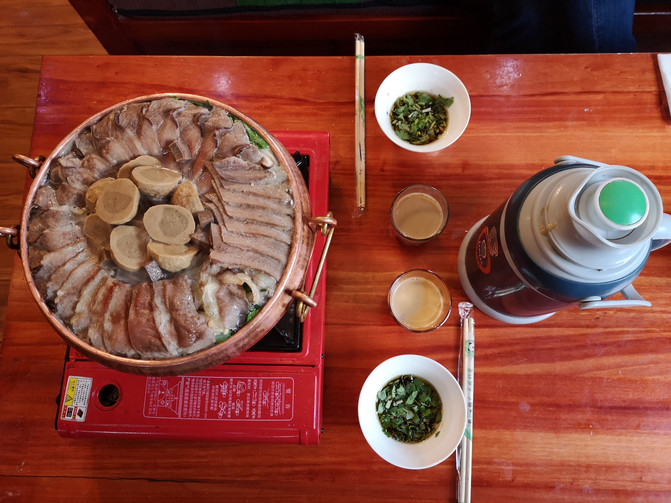
Tibetan yak meat hot pot
D14
In the morning, we took the bullet train at Lhasa Station and arrived in Shigatse in two and a half hours. We took a bus at Shigatse Station to Tashilhunpo Temple.
Tashilhunpo Temple is located at the foot of the Niseri Mountain in Shigatse, Xizang, Tibet. It means "Auspicious Sumi Temple". Its full name is "Tashilhunpo Baiji Deqin Qu Tangjielenanbajewalin", which means "Auspicious Sumi Gathering Fortune and Prosperity in Zhufang Prefecture." In the twelfth year of Zhengtong of the Ming Dynasty, Tsongkhapa disciple Gendun Juba was built. The latter fourth Panchen Lama, Rosangqueji Jianzan, was expanded. Tashilhunpo Monastery is one of the six famous Huangjiao monasteries in China. Together with the "three major temples" in Lhasa, Gandan Temple, Sera Temple and Drepung Temple, it is collectively known as the "Four Major Temples" of the Gelug Sect of Tibetan Buddhism. The four major temples, as well as the Tar Monastery in Qinghai and the Labrang Monastery in Gansu, are listed as the "six major temples" of the Gelug Sect. Tashilhunpo Temple covers an area of 150,000 square meters and is surrounded by palace walls. The palace walls meander along the mountains and have a circumference of more than 3000 meters. The entire temple was built along the hillside, and the temples were successively connected, with balanced density and harmony.
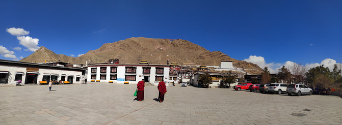
Tashilhunpo temple

Tashilhunpo temple
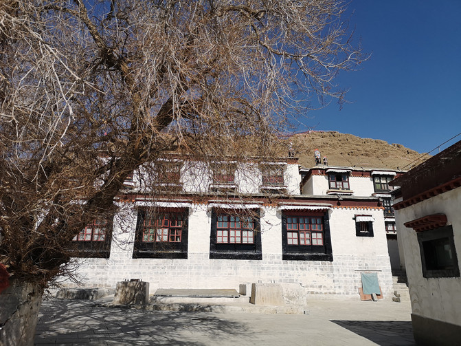
Tashilhunpo temple
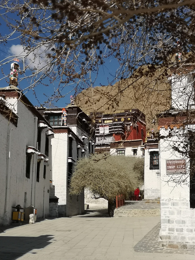
Tashilhunpo temple
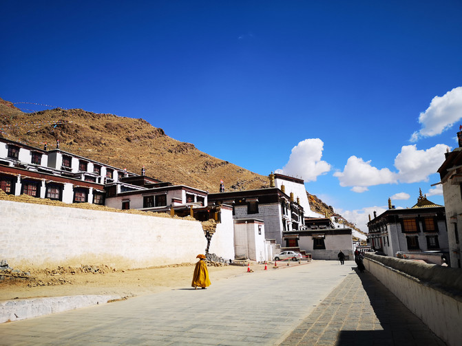
Tashilhunpo temple
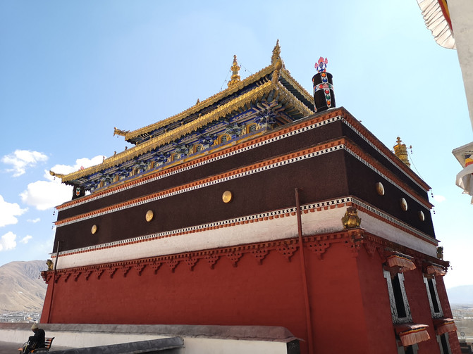
Tashilhunpo temple
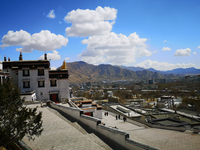
Tashilhunpo temple
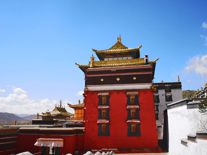
Tashilhunpo temple
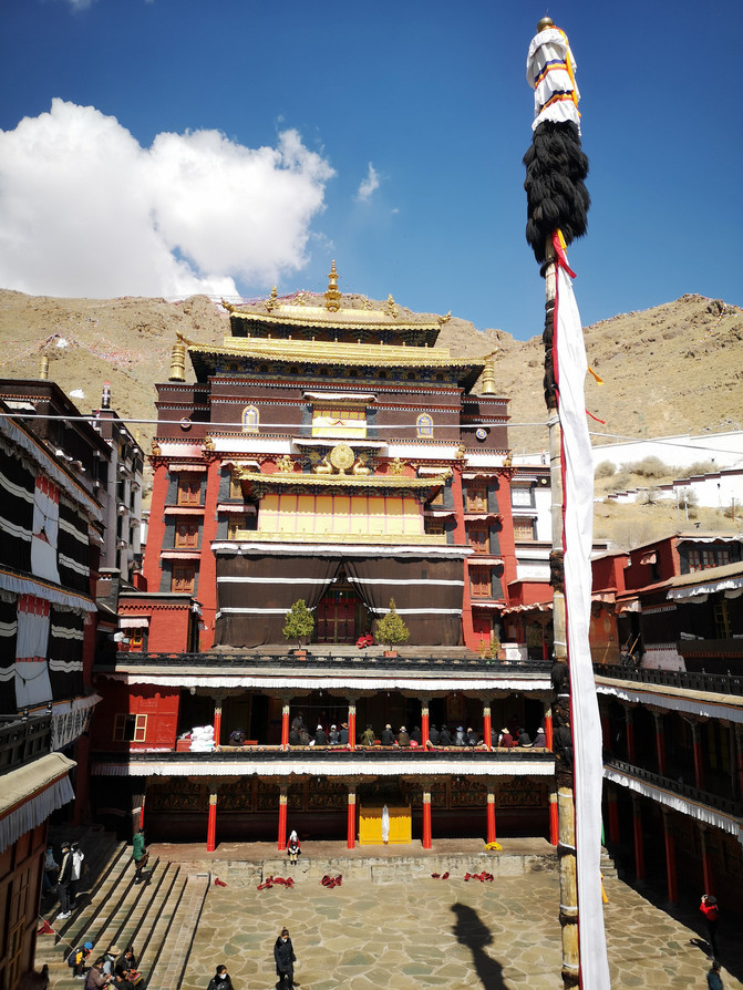
Tashilhunpo temple
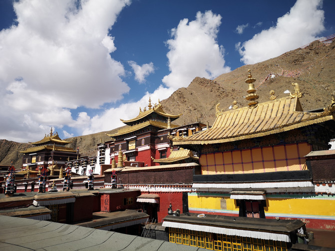
Tashilhunpo temple
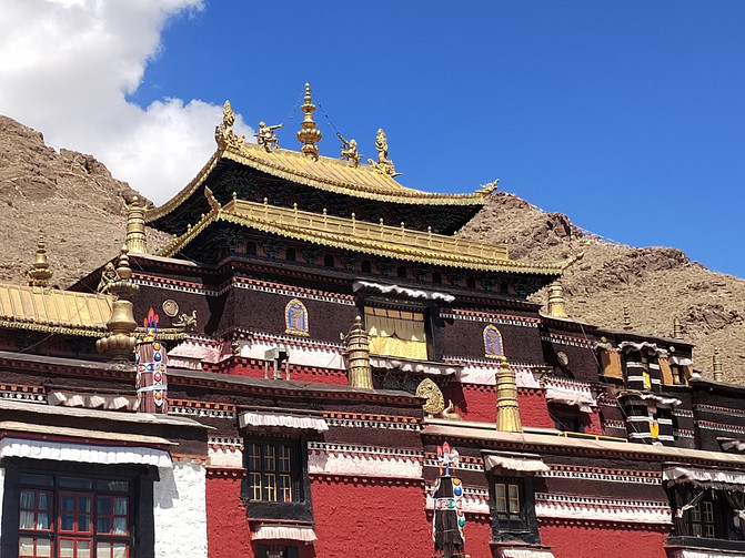
Tashilhunpo temple
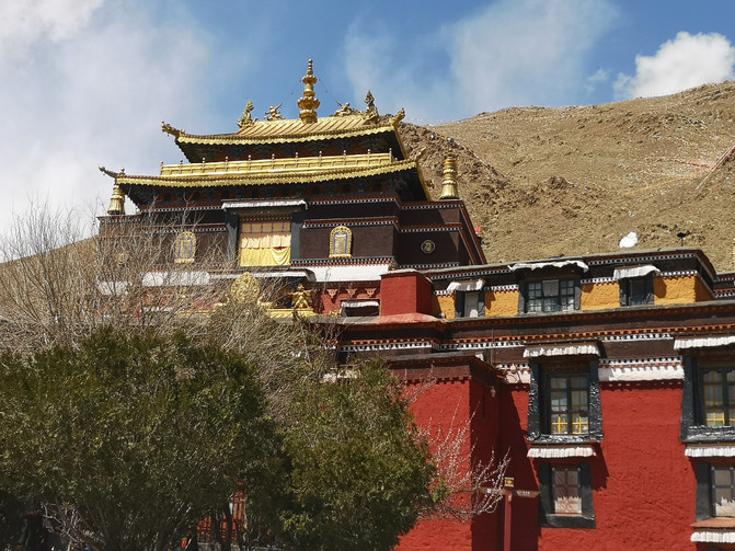
Tashilhunpo temple
There are not many tourists coming to Shigatse. Most of the shops on the street in front of Tashilhunpo Temple sell items related to the daily life of local people. After visiting Tashilhunpo Temple, we strolled around the streets of Shigatse and took the bullet train back to Lhasa at 7 p.m.
D15
I heard that Zaki Temple is the God of Wealth Temple in Xizang. The God of Wealth enshrined in it likes to drink and is often drunk, so I have to go to Zaki Temple in the morning before the God of Wealth is drunk. We also followed the Romans and visited Zaki Temple first after breakfast.
Zaki Temple is located on Zaki Road in the northern suburbs of Lhasa City. It is a branch of Sera Temple, a temple of the Gelug Sect of Tibetan Buddhism. It is the only Temple of God of Wealth in Xizang. The "God of Wealth" of Zaki Temple is called "Zaki Ram" in Tibetan. Although the temple is small, the incense is very strong, and many pilgrims come to pay homage.
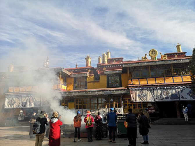
Zhaji Temple
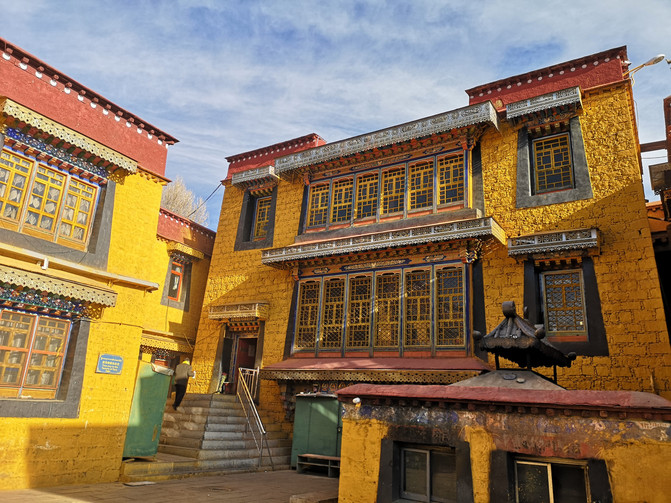
Zhaji Temple
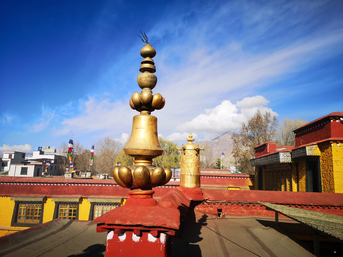
Zhaji Temple
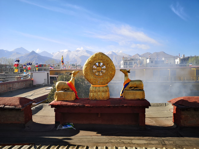
Zhaji Temple
After visiting Zaki Temple, you can reach Sera Temple by bus for half an hour at the door.
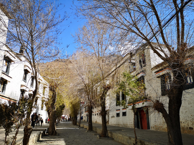
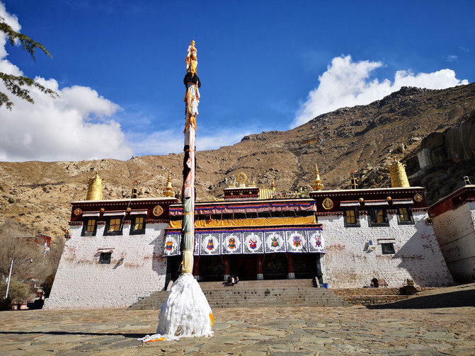
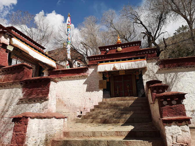
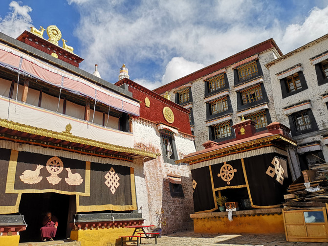
Sera Monastery is located at the foothills of Serawuzi, 3 kilometers away from the northern suburbs of Lhasa. Its full name is "Sera Dacheng Monastery". It is one of the six main temples of the Gelug Sect of Tibetan Buddhism. Together with Drepung Monastery and Gandan Monastery, it is collectively known as the Three Major Monastery in Lhasa. It has been a place where eminent monks and living Buddhas delivered scriptures and narratives since ancient times.
The buildings of Sera Temple are dense but not crowded, and are miscellaneous but not chaotic. They adapt to local conditions and have prominent main bodies, reflecting the unique style of the Gelug Sect Temple. The early buildings centered on Maizhacang and Abazhacang. Later, they were renovated and expanded through generations to achieve today's scale. Tens of thousands of Vajra Buddha statues are preserved in the temple, most of which were made locally in Xizang, and many of which are copper Buddha statues brought from the mainland or India. A large number of original colored murals are preserved on the walls of the main hall and the Zhacang Sutra Hall. The most famous statue is the statue of the "Ma Tau Ming King" in the main hall.
Sera Monastery
Sera Monastery
Sera Monastery
Sera Monastery
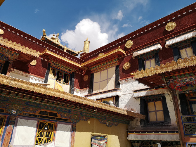
Sera Monastery
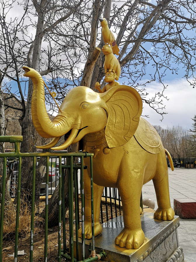
Sera Monastery
Not many tourists visited Sera Monastery. After visiting the temple, they wanted to see the Lama's scripture debate, but the scripture debate venue was not open, so they took a bus back to Barkhor Street. I just got off the bus near Chongsaikang Market and visited the market.
Chongsaikang Comprehensive Market is located in Chengguan District, Lhasa City, Tibet Autonomous Region. It is a Xizang daily commodity trading market. The meaning of "Chongsaikang" in Tibetan refers to "market, market". A building on the east side of Chongsaikang Comprehensive Market was originally a noble compound named "Wangdian Bianba". Nobles would occasionally stand in front of the windows on the second floor of the compound to "review" the crowd and order doing business in Chongsaikang Market.
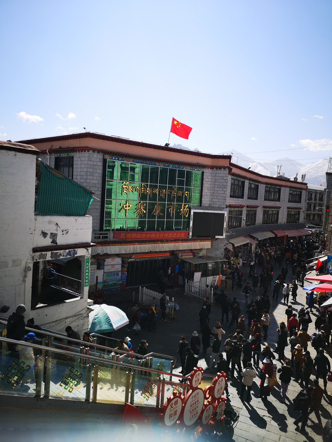
Chongsaikang Comprehensive Market
The market is not large, mainly selling some daily necessities. Not far from Chongsaikang Market, there is an ancient building that once served as the Yamen of the Qing Government Minister stationed in Tibet, and is now the "Exhibition Hall of the Former Site of the Qing Government Minister stationed in Tibet".
The traditional Tibetan-style compound where the exhibition hall of the former site of the Qing government's official residence in Tibet is located is called "Chongsaikang Zhakang". It is a three-story Tibetan-style compound located on the north street of Bagor Street in the ancient city of Lhasa, located in the center of the Laocheng District of Lhasa. It has a history of more than 300 years. The Qing government once established the first official yamen stationed in Tibet here for ministers stationed in Tibet to work and live. Because the minister stationed in Tibet can enjoy the bustling scene of Barkhor Street up close from the windows of the south building of the compound, this place is called "Chongsaikang", which means "a house with a view of the market."
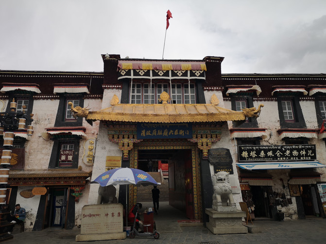
Exhibition Hall of the Former Site of the Qing Government Ministers stationed in Tibet
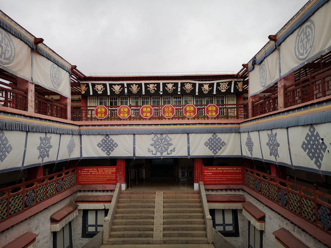
Exhibition Hall of the Former Site of the Qing Government Ministers stationed in Tibet
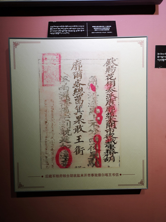
Exhibition Hall of the Former Site of the Qing Government Ministers stationed in Tibet
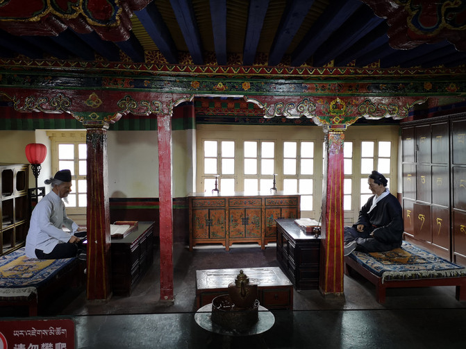
Exhibition Hall of the Former Site of the Qing Government Ministers stationed in Tibet

Exhibition Hall of the Former Site of the Qing Government Ministers stationed in Tibet
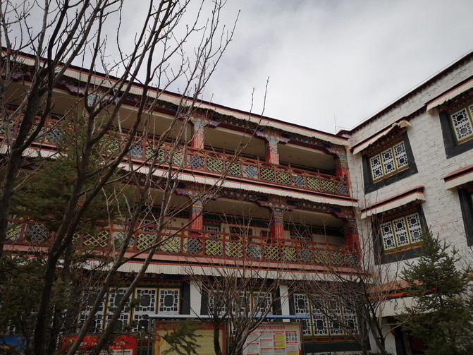
Exhibition Hall of the Former Site of the Qing Government Ministers stationed in Tibet
After visiting the exhibition hall, continue to stroll around Barkhor Street.
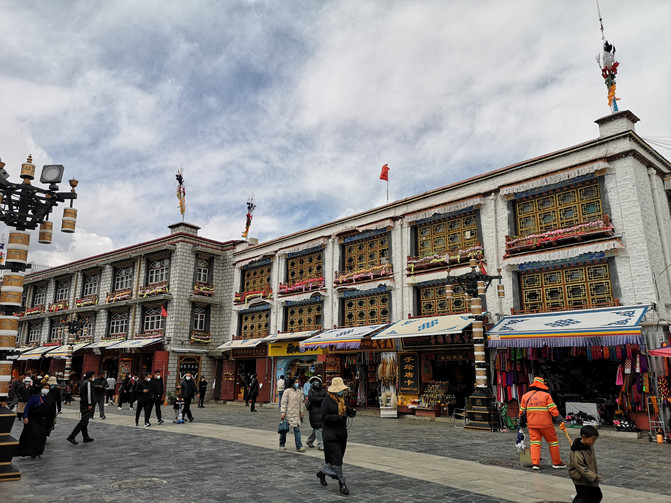
barkhor Street
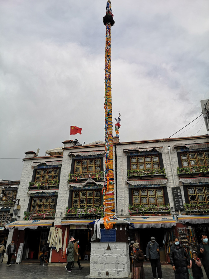
barkhor Street
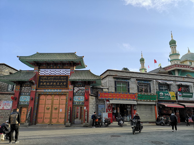
barkhor Street
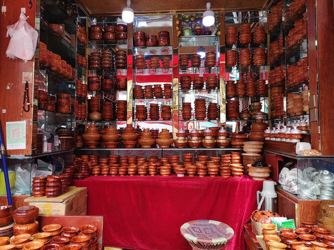
barkhor Street
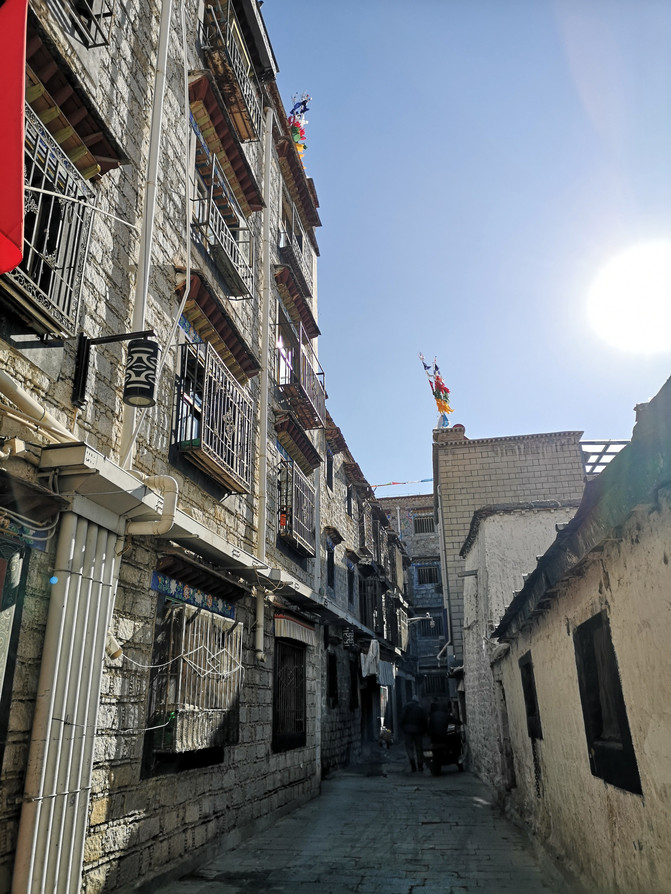
barkhor Street
At dinner time, I tasted the tripe bun meat and ginseng fruit fried rice at a Tibetan restaurant called Ga Jixiang on Bakor Street. The yak meat wrapped in the beef belly and the slightly sweet ginseng fruit fried rice were both delicious. Later, I found out on the Internet that the ginseng fruit in Xizang is the root of a fern plant.
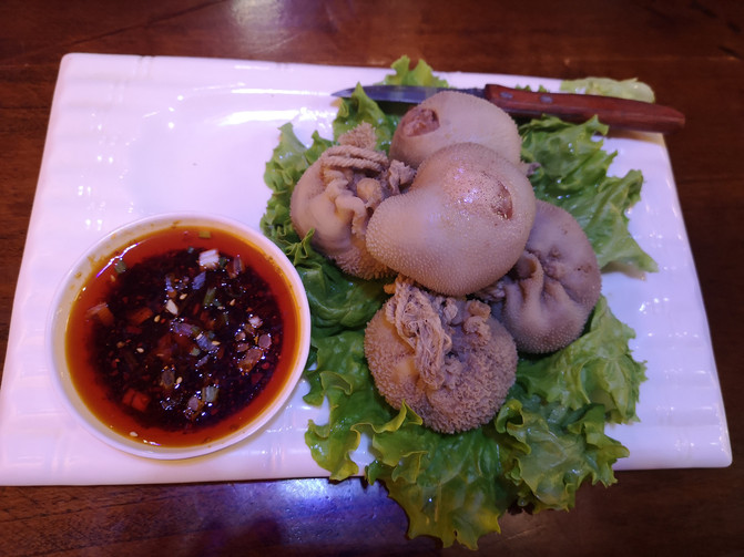
pork stuffed with belly
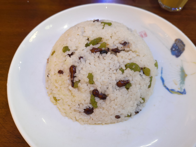
Ginseng fruit fried rice
After dinner, I bought some souvenirs on Barkhor Street and went back to the hotel to rest.
D16
Today is the last day in Xizang. I want to go to Namtso, the sacred lake in Xizang. It is a 4-hour drive from Lhasa to Namtso one way. In order to save time, we signed up for a one-day trip from the travel agency in advance.
We set off at dawn. Not far out of downtown Lhasa, the car entered the Nyenqing Tanggula Mountains.
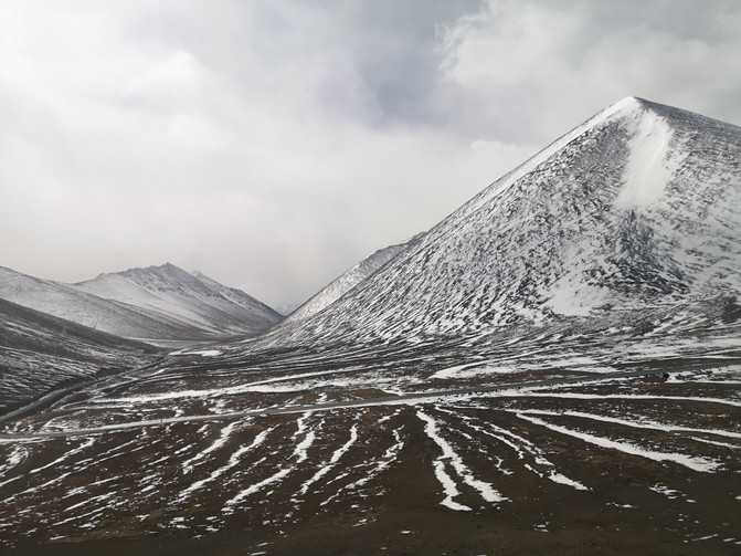
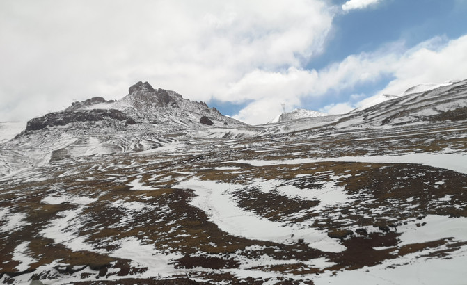
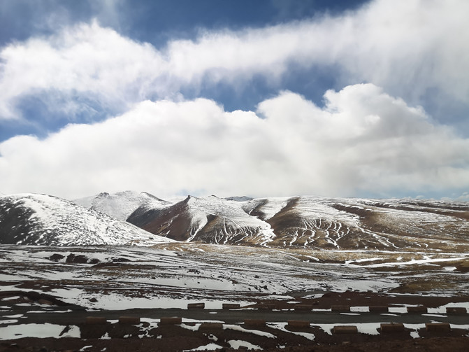
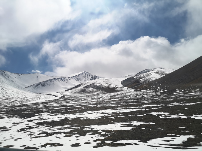
The Nyenqentanggula Mountains are one of the main mountain ranges on the Qinghai-Tibet Plateau in China. The main peak Nyenqentanggula Peak is 7162 meters above sea level. It is a silver-clad peak adjacent to Namtso, the second largest lake in Xizang. In addition to the main peak, Nyainqtanglula Peak has three peaks, namely Nyainqtanglula Peak II at an altitude of 7117 meters, Nyainqtanglula Peak III at an altitude of 7111 meters, and Nyainqtanglula Peak IV at an altitude of 7046 meters.
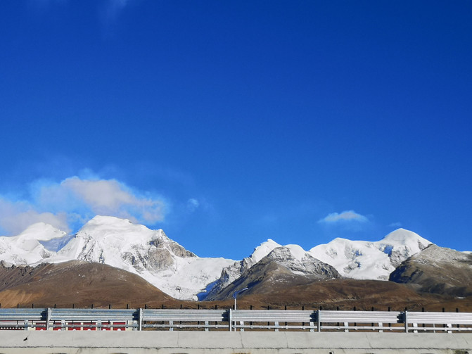
nyainqentanglha mountain
nyainqentanglha mountain
nyainqentanglha mountain
nyainqentanglha mountain
nyainqentanglha mountain
The car traveled through the Nyenqing Tanggula Mountain for more than three hours and reached the Nagen La Pass.
The Nagenla Pass is located in Dangxiong County, Xizang, with an altitude of 5190 meters. It is the only place to cross the Nyenqentanggula Mountains and lead to Namtso. It is also a sacred place in the hearts of Tibetans. A stone tablet marking the altitude has been erected at the pass, and prayer flags are hung on the Mani Pile at the pass. Looking north from the mountain pass, you can see the blue blue Namtso in the distance. Standing at this mountain pass at an altitude of more than 5000 meters, which is known as a restricted area of life, and looking into the wild, you will suddenly feel majestic, vast and vast in your heart.
The mountain pass full of prayer flags is very windy, snow on the ground can be seen everywhere, and the prayer flags sway in the wind.
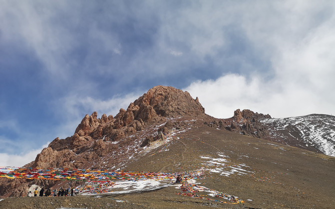
Nagenla Pass
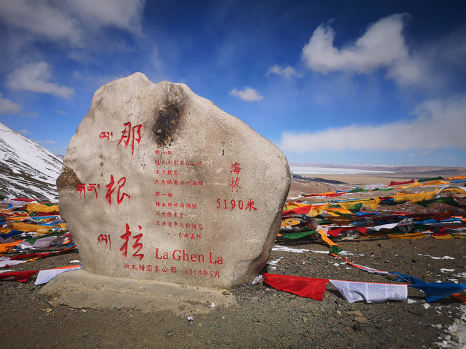
Nagenla Pass
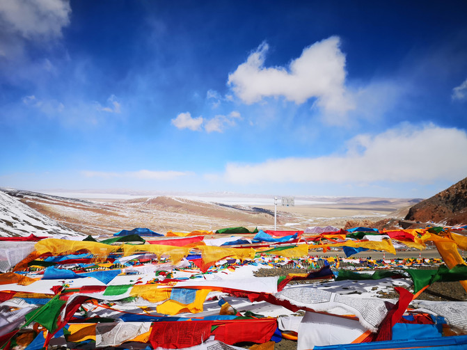
Nagenla Pass
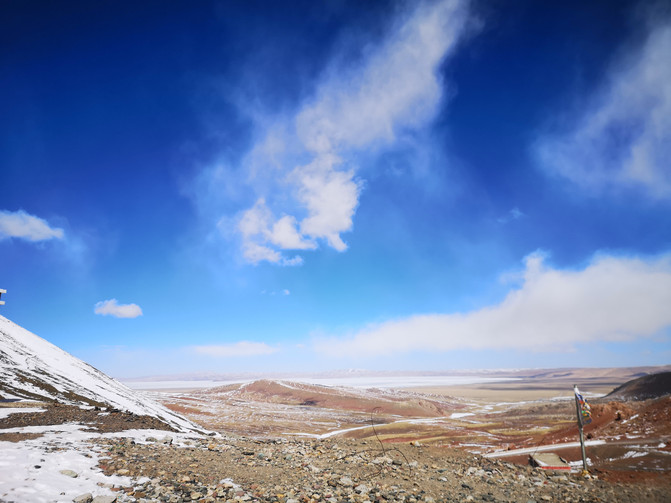
Nagenla Pass
After stopping at the Nagenla Pass for about 20 minutes, continued to drive to Namtso, and arrived at the Namtso Tourist Center at noon.
Namtso is located in the central part of Tibet Autonomous Region. It is the second largest lake in Xizang and the third largest saltwater lake in China. The lake surface is 4718 meters above sea level and is approximately rectangular in shape. It is more than 70 kilometers long from east to west, more than 30 kilometers wide from north to south, and has an area of more than 1920 square kilometers. It is the highest large lake in the world. The lake water is clear and transparent, and the lake surface is sky blue. "Namtso" is Tibetan, and the Mongolian name is "Tengger Sea", both of which mean "Tianhu". Namtso is one of the "Three Holy Lakes" in Xizang. It is the first divine lake of the ancient Xiangxiong Dharma and Yongzhong Buddhism. It is one of the famous Buddhist holy places.
It took less than an hour to take the scenic sightseeing bus from the Namtso Visitor Center to reach the Tashi Peninsula.
Tashi Peninsula, also known as Auspicious Love Island, is at the southeastern end of Namtso Lake and extends north into the lake. It is a peninsula of about 10 square kilometers made of limestone and is the largest peninsula in Namtso. In the middle is a hill dozens of meters high. At the northernmost end, there are countless stone pillars and strange stone peaks. There are also natural connecting stone bridges between the peaks and forests. Due to long-term erosion by Tianhu water, there are many quiet caves distributed on the island. The caves are covered with stalactites, forming a unique karst landform. Such a strange, colorful and ingenious landform on Tashi Island is truly a spectacle.
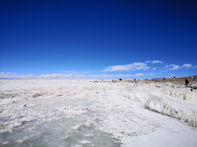
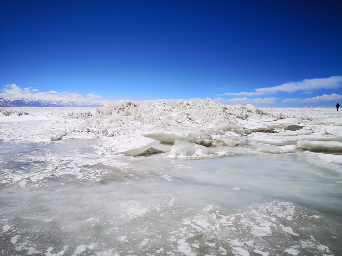
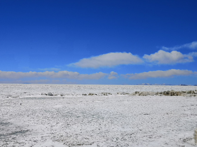
At the foot of the mountain and by the lake, there are many Mani piles piled with stones. It was March, and the ice and snow on the lake had not yet melted. Looking up, you could see the deep and clear blue sky above your head integrated with the frozen lake surface; the majestic snowy peaks in the distance were like Qionglou and jade fields, flashing and flashing.
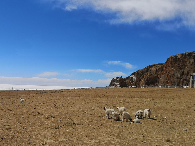
Namtso
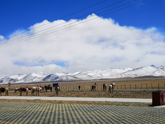
Namtso
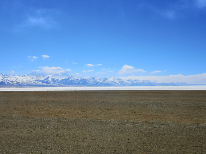
Namtso
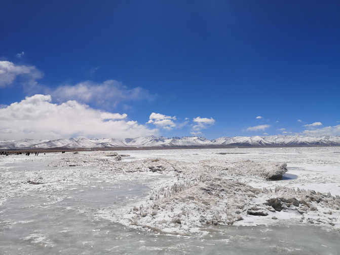
Namtso
Namtso
Namtso
Namtso
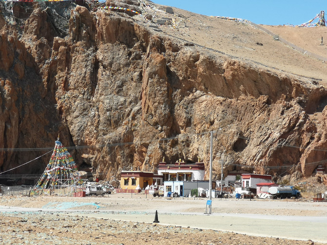
You can walk around the island for a week along the detour road along the peninsula. Due to limited time, we can only walk to the lake to play. After playing by the lake for a while, on the way back to the visitor center by taking a sightseeing bus, the sightseeing bus drove along the road on the peninsula, and you could see the landform of the peninsula from the bus.
Namtso
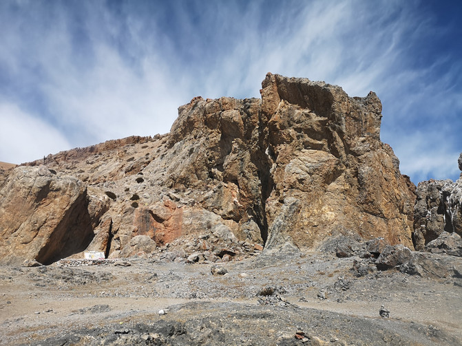
Namtso
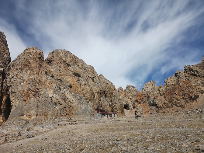
Namtso
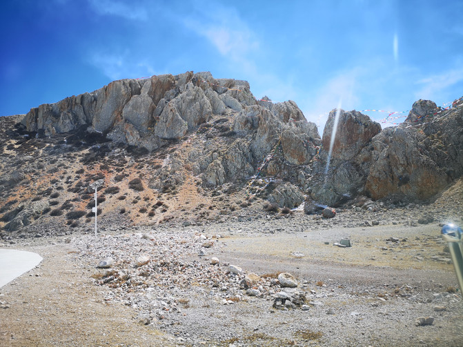
Namtso
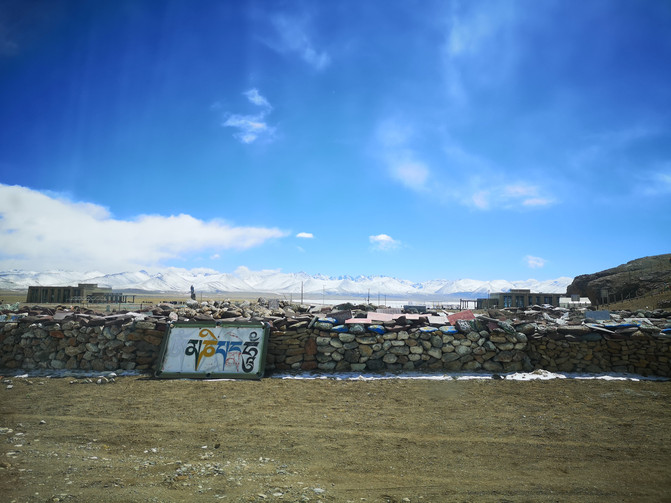
Namtso
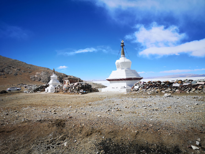
Namtso
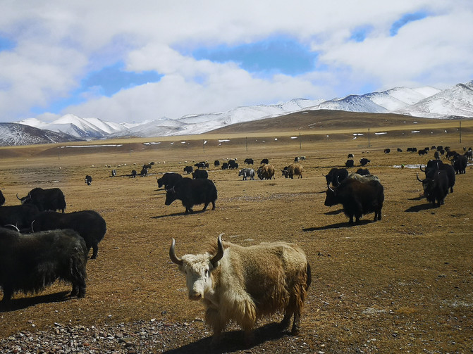
Namtso
After ending Namtso's journey, it was already past eight o'clock in the evening to return to Lhasa by car.
D17
The journey to Xizang is over. Today we left Lhasa and flew back to Chengdu.
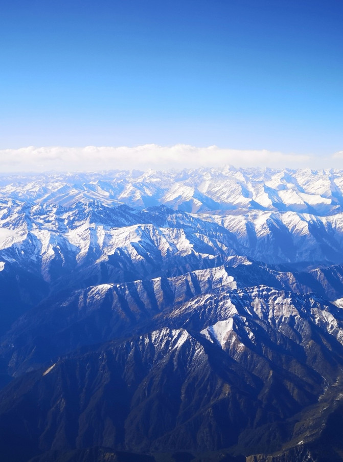
En route from Lhasa to Chengdu
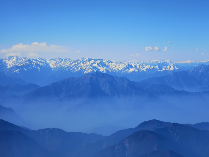
En route from Lhasa to Chengdu
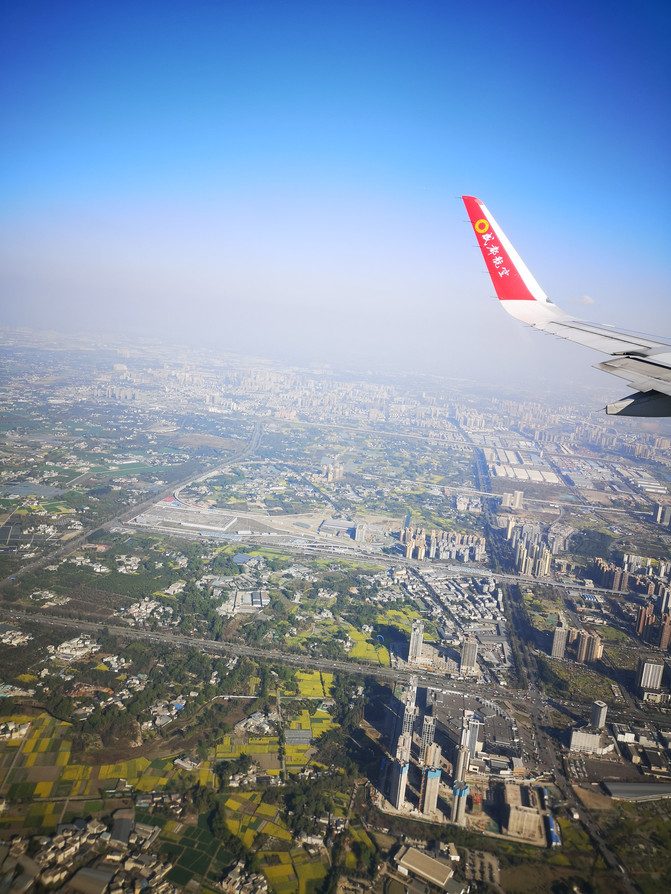
En route from Lhasa to Chengdu
After a day of travel, I arrived at the hotel near Tianfu Square in the evening. Every time I come to Chengdu, I have to eat Chuanchuan Hotpot. This time is no exception. After taking a short rest at the hotel, I come to the Chuanchuan Hotpot Restaurant on the roadside near the hotel to eat Chuanchuan Hotpot.
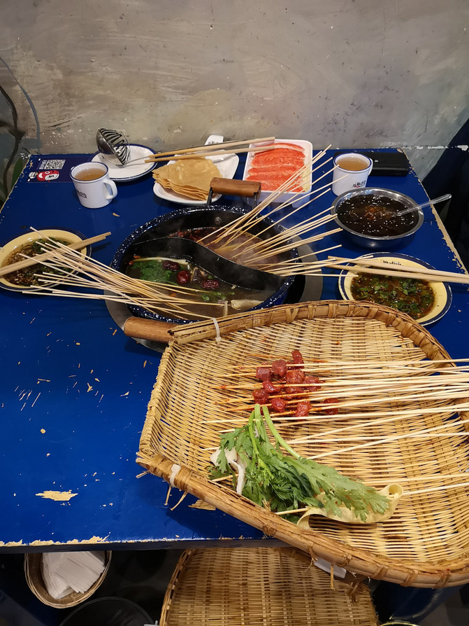
Chengdu Chuanchuan Hotpot
D18
Liu Wencai, a great bureaucratic landlord, has his home in Anren Ancient Town. His first stop in Chengdu this time was Anren Ancient Town. In the morning, take a bus from Chadianzi Bus Station to Anren Station, get off the bus and take a local tricycle. It takes about ten minutes to reach the ancient town.
Anren Ancient Town was built in the Tang Dynasty, and its place name is "derived from the meaning of Anren, the benevolent person." Most of the existing old-style neighborhood buildings in the ancient town were built during the late Qing Dynasty and the early Republic of China, especially during the heyday of the Liu family during the Republic of China. The styles combined Chinese and Western styles, and the solemn, elegant and generous courtyards created the special architectural style of Anren Town. It is known as the "Cultural Boutique of Western Sichuan Architecture".
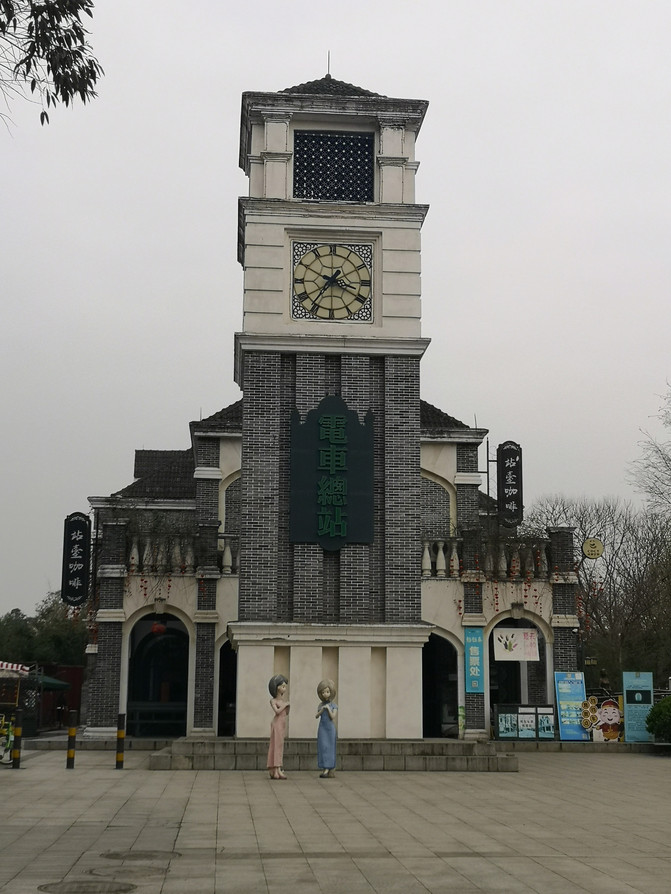
anren ancient town
When entering the ancient town, the first place to visit is Liu's Manor.
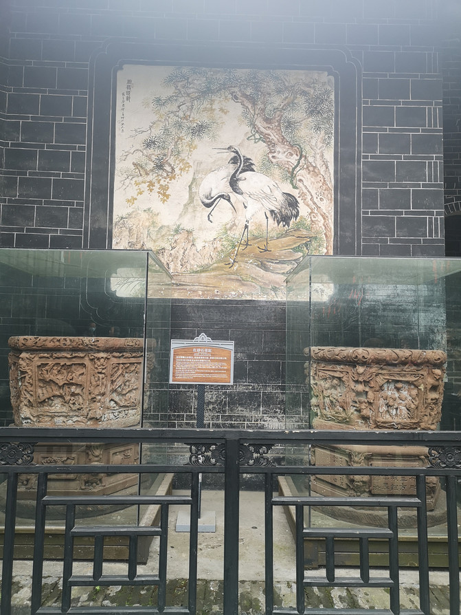
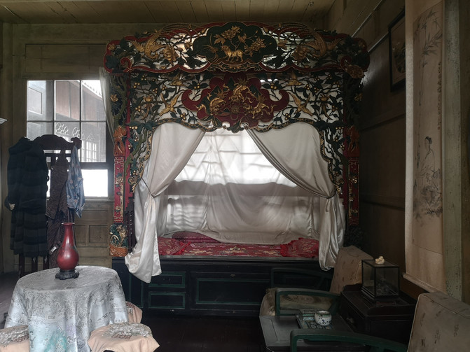
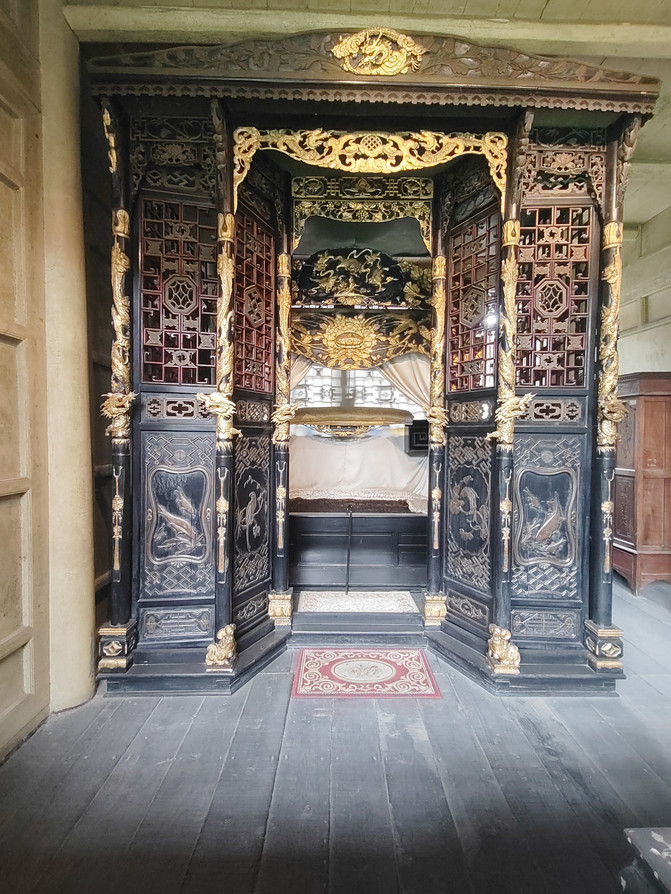
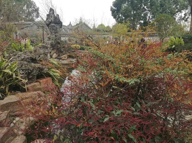
Liu's Manor consists of five mansions (Liu Wenyuan, Liu Wenzhao, Liu Wencheng, Liu Wencai, Liu Wenhui) successively built by Liu Wencai, a great bureaucratic landlord in Sichuan and his brothers in modern times, and an ancestral residence of the Liu family. It is distributed into two large buildings facing north and south. It covers a total area of more than 70,000 square meters, a building area of more than 21,000 square meters, and a total of 545 houses. It is currently the largest modern landlord's manor complex in China. The entire manor building complex was built in the late Qing Dynasty. After several large-scale constructions and expansions, it reached its current scale by the end of the Republic of China. Among them, the most representative Liu Wencai Mansion is a closed courtyard with high walls and deep courtyards. It has a typical combination of Chinese and Western architectural style, with gable walls on top, heavy doors and deep alleys, and twists and turns, like a maze, fully reflecting the luxury and extravagance of the wealthy home in modern western Sichuan.
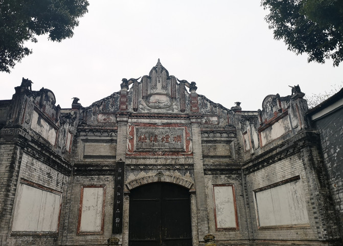
Liu's Manor
Liu's Manor
Liu's Manor
Liu's Manor
Liu's Manor
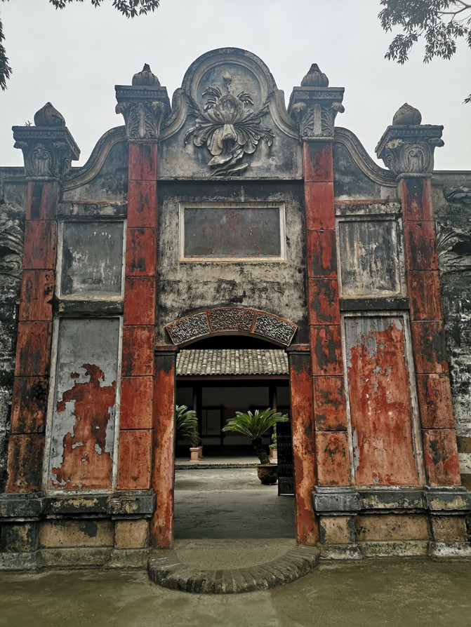
Liu's Manor
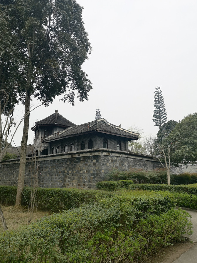
Liu's Manor
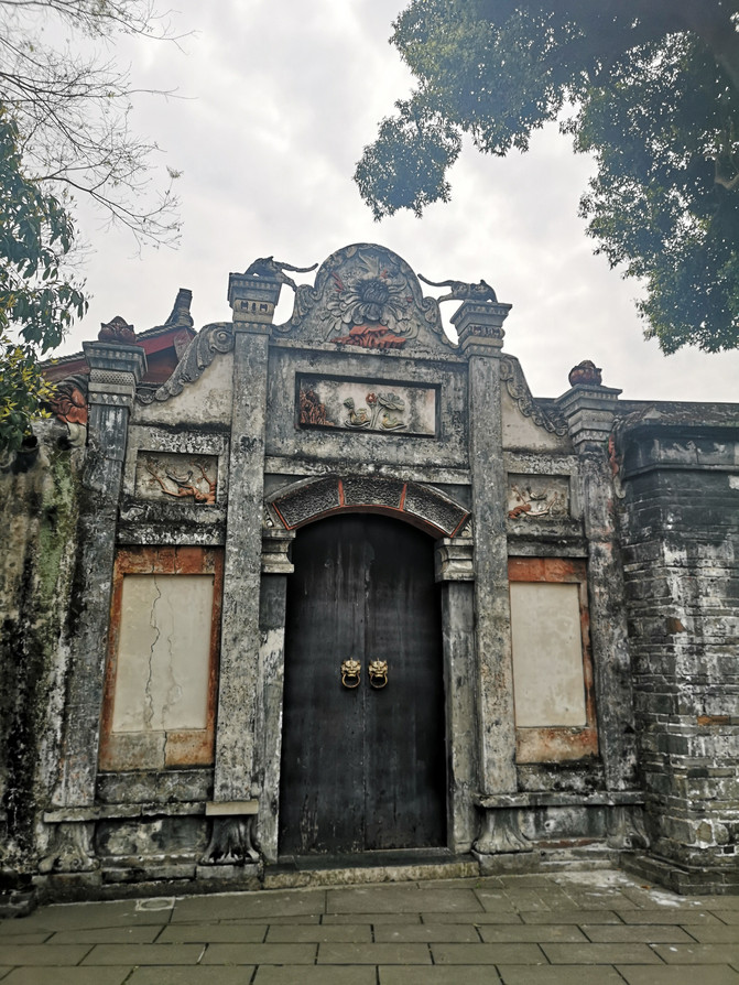
Liu's Manor
After visiting Liu's Manor, I had lunch in the ancient town and wandered around in the ancient town.
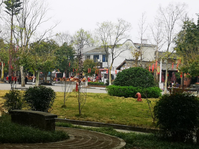
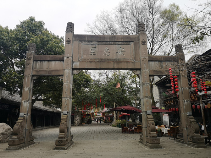
anren ancient town
anren ancient town
anren ancient town
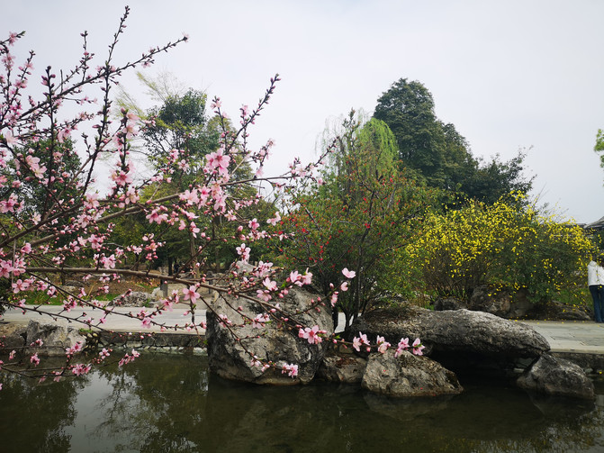
anren ancient town
Seeing the signpost for Liu Wenhui's former residence, he walked forward in the direction indicated and came to a courtyard with a sign reading "Liu Wenhui Mansion Yanqing Garden" hanging at the door. Entering inside, I found that this courtyard was just a courtyard of Liu Wenhui's former residence, not where Liu Wenhui lived. The real Liu Wenhui's former residence was in another courtyard next to it, and tickets had to be purchased again. We didn't go in, just took a photo at the door.
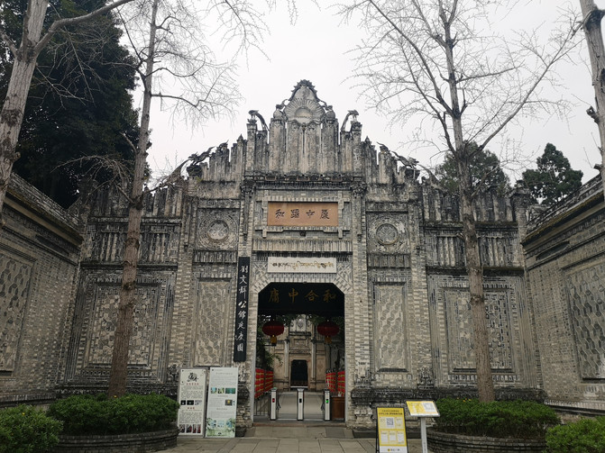
Yanqing Park
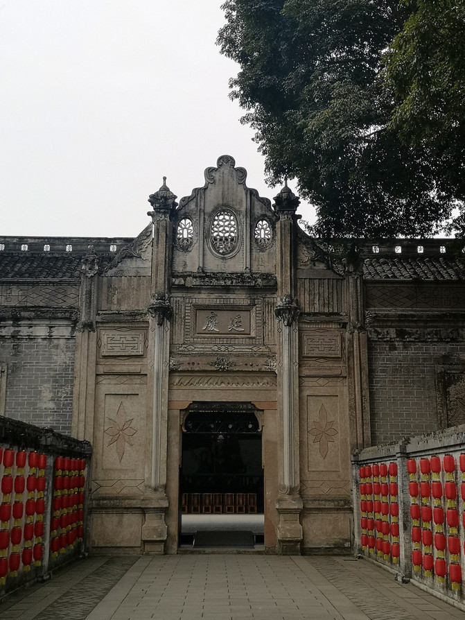
Yanqing Park
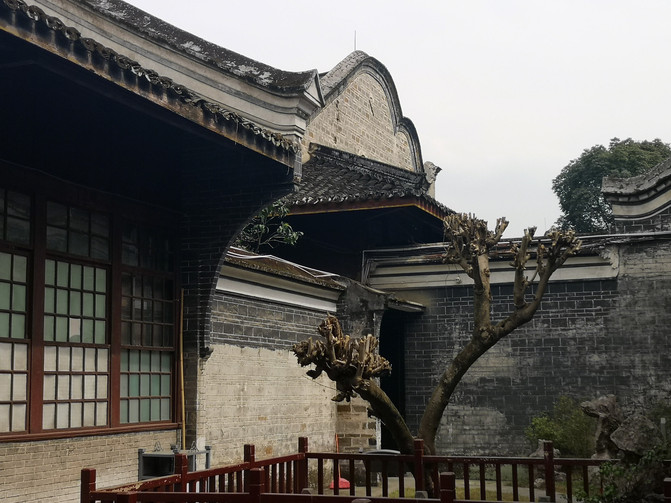
Yanqing Park
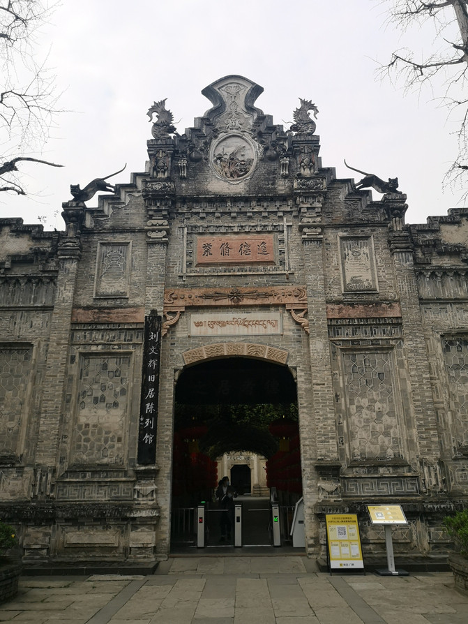
Former Residence of Liu Wenhui
Returning to Chengdu from Anren Ancient Town, get off at Chunxi Road and visit Chunxi Road.
Although Chunxi Road is a commercial pedestrian street, it is home to many Chengdu specialty snacks. The most famous food is dragon wonton. In addition, there are husband and wife lung slices and spicy lobster. Various skewers are also mouth-watering.
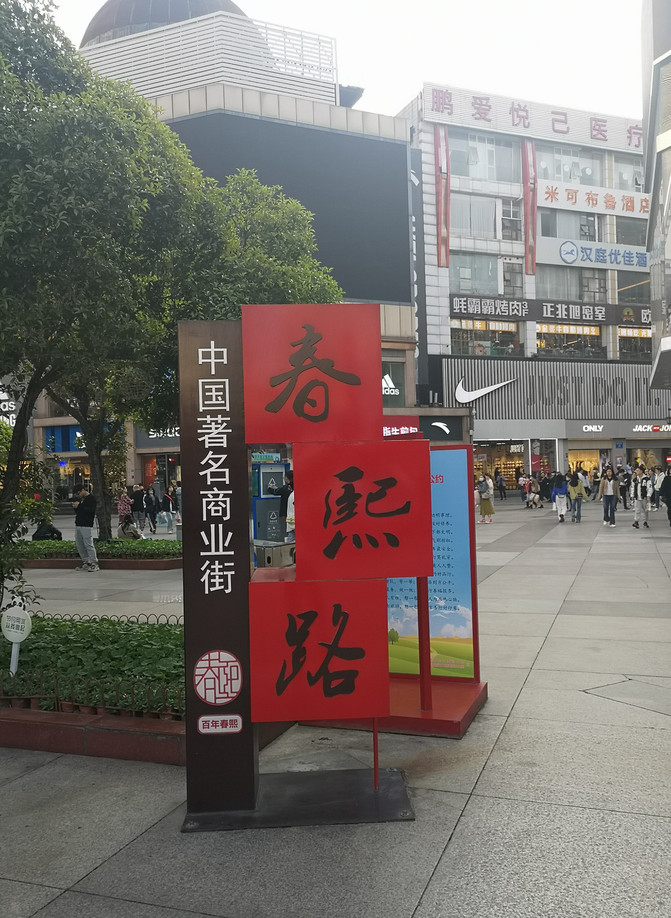
chunxi road
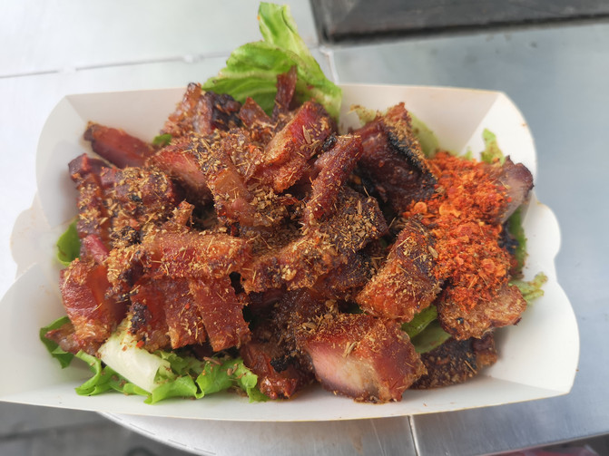
crispy pork belly
D19
The Leshan Giant Buddha is the largest cliff stone statue in China. This time I went to Chengdu and decided to go to Leshan to see the Giant Buddha. In the morning, take a train from Chengdu East Railway Station to Leshan Station, and then take a bus to Leshan Giant Buddha Scenic Area.
The Leshan Giant Buddha, also known as the Lingyun Giant Buddha, is located on the east bank of the Nanmin River in Leshan City, Sichuan Province, near the confluence of the Dadu River, Qingyi River and Minjiang River, facing Leshan City across the river. The Leshan Giant Buddha was carved on the rock wall at the confluence of the Minjiang River, Qingyi River, and Dadu River. It was the Haitong monk who recruited manpower and material resources to reduce the water flow and save all living beings. The Buddha statue was excavated in the early years of Kaiyuan of Emperor Xuanzong of the Tang Dynasty (713) and completed in the 19th year of Zhenyuan of Dezong (803). The Buddha is a statue of Maitreya, 71 meters high and 8.5 meters wide. Its head is flush with the mountain, its feet step on the river, its hands are on its knees, its body is well-proportioned and solemn. It was chiseled against the mountain and sits on the river. It is graceful and magnanimous. It is praised by the poet as "the mountain is a Buddha, and the Buddha is a mountain." On December 6, 1996, the Leshan Giant Buddha was approved by UNESCO as a "World Cultural and Natural Heritage" and was officially included in the "World Heritage List".
Enter the gate of the scenic spot and walk up the mountain road. There are many stone carvings on the cliff on one side, and the rapid river water under the cliff on the other side.
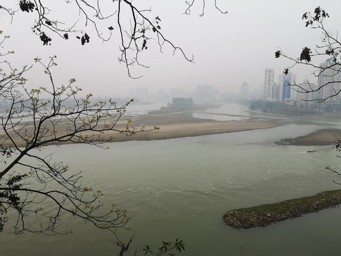
Leshan Giant Buddha scenic spot
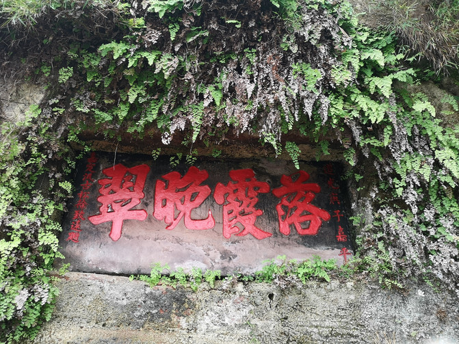
Leshan Giant Buddha scenic spot
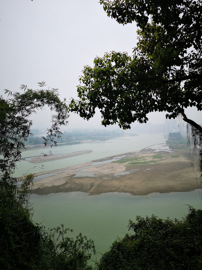
Leshan Giant Buddha scenic spot
Arriving at the top of the mountain, we first visited Lingyun Temple next to the Buddha.
Leshan Lingyun Temple was built during the reign of Li Yuanwude, Gaozu of the early Tang Dynasty (618 - 626). It is nearly 1400 years old. It predates the construction of the Leshan Giant Buddha and is one of the oldest temples in China. In the early years of Kaiyuan (about 713), the Buddha statue was dug. Because it was the location of the Buddha, it was also called the Great Buddha Temple. Lingyun Temple was built in the Tang Dynasty and destroyed during the war of Emperor Yuan Shun. The existing Lingyun Temple was rebuilt in the sixth year of Kangxi of the Qing Dynasty. Since then, it has been repaired many times to preserve its present appearance.
Lingyun temple
Lingyun temple
Lingyun temple
Lingyun temple
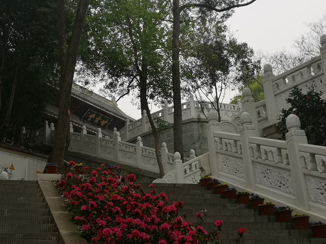
Lingyun temple
Many people gathered on the viewing platform in front of Lingyun Temple, where you can watch the Buddha up close.

Leshan Giant Buddha
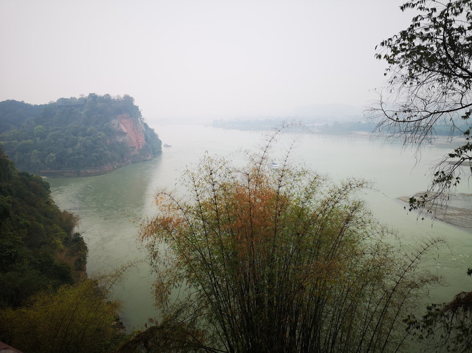
Leshan Giant Buddha scenic spot
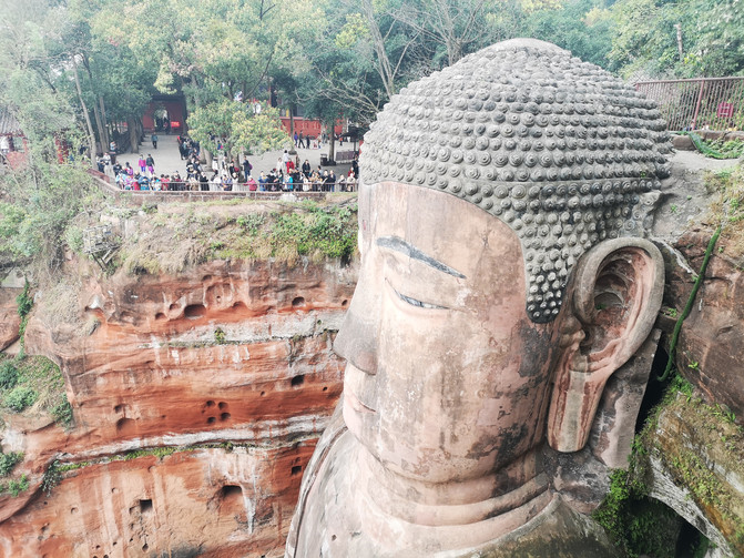
Leshan Giant Buddha
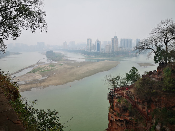
Leshan Giant Buddha scenic spot

Leshan Giant Buddha
On the left side of the Buddha, along the "Dongtian Road", you will find the beginning of the Lingyun Plank Road, and on the right side is the Jiuqu Plank Road. When we went there, the Jiuqu Plank Road was not open. Walking down the Lingyun Plank Road, you can reach the bottom of the Buddha.
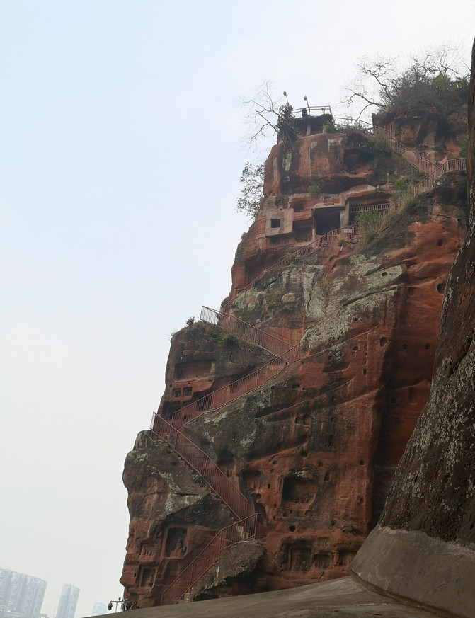
Leshan Giant Buddha scenic spot
The small platform at the bottom of the Buddha is full of people. If you look up at the Buddha here, you will feel as if you are looking up at the top of your head.

Leshan Giant Buddha
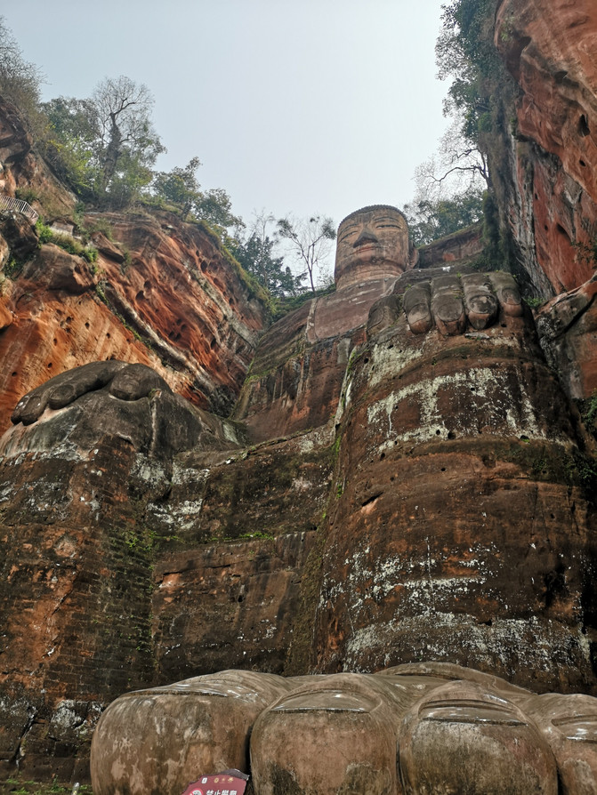
Leshan Giant Buddha
After returning from the bottom of the Buddha, we followed the stone steps to the river, where rapeseed flowers were in bloom on both sides of the river.
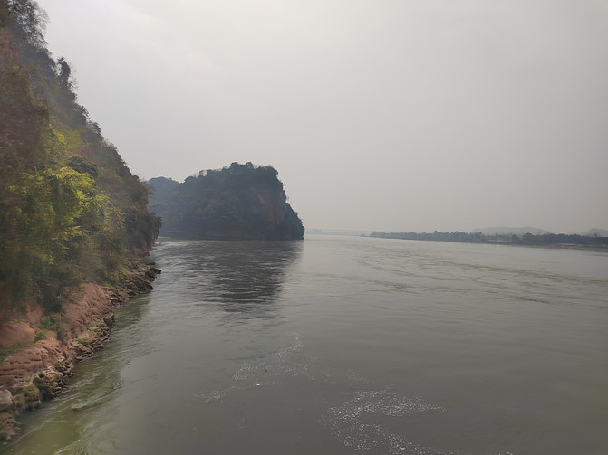
Leshan Giant Buddha scenic spot
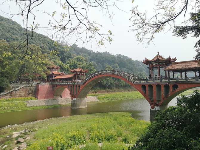
Leshan Giant Buddha scenic spot

Leshan Giant Buddha scenic spot
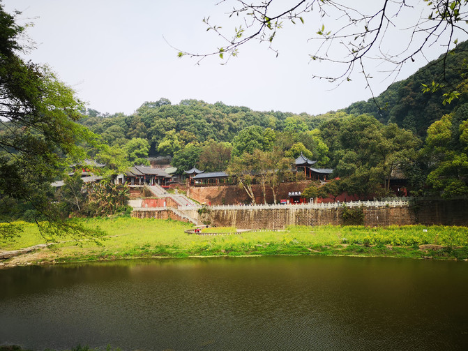
Leshan Giant Buddha scenic spot
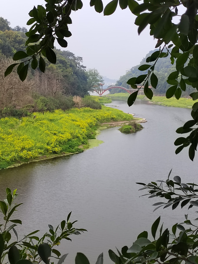
Leshan Giant Buddha scenic spot
After playing by the river for nearly two hours, I returned to the road and took a bus to Zhanggongqiao Food Street.
Near Zhanggong Bridge is a gathering place for Leshan cuisine, but there were very few people on the streets when we came, making it a little deserted.

Zhanggongqiao Food Street
After walking around Zhanggong Bridge, returning to Leshan Station, and taking the train back to Chengdu.
D20
Today, I am going to visit the Bamboo Sea Scenic Area in Western Sichuan, not far from Pingle Ancient Town. In the morning, I take the bullet train from Chengdu East Railway Station and arrive at Qionglai Station in more than half an hour. Transfer to the bus to Pingle Ancient Town at the exit and it takes about 1 hour to reach Pingle Ancient Town. There are many tricycles to the Bamboo Sea Scenic Area in the ancient town. We did not stop in the ancient town. It took about 10 minutes to take a tricycle to reach the Bamboo Sea Scenic Area in western Sichuan.
The West Sichuan Bamboo Sea Scenic Area is located in Pingle Ancient Town, Qionglai City, Chengdu City. The scenic area is dense with bamboo forests and more than 100,000 acres of bamboo sea. It is green and dripping. The winding paths in the valley are faint and the air is fresh. It is known as the "Natural Oxygen Bar." Every time the breeze comes slowly, I look up at the rippling bamboo waves and hear the low bamboo waves, or stroll along the winding path in the forest, or sit leisurely by the stone side of the stream, intoxicated by the natural oxygen bar that is refreshing and refreshing, and savor the sigh carefully. It is truly wonderful...
There are not many people in the scenic area. There are lush green bamboos everywhere. The moist air is rushing towards you. Being in it makes you feel cool.
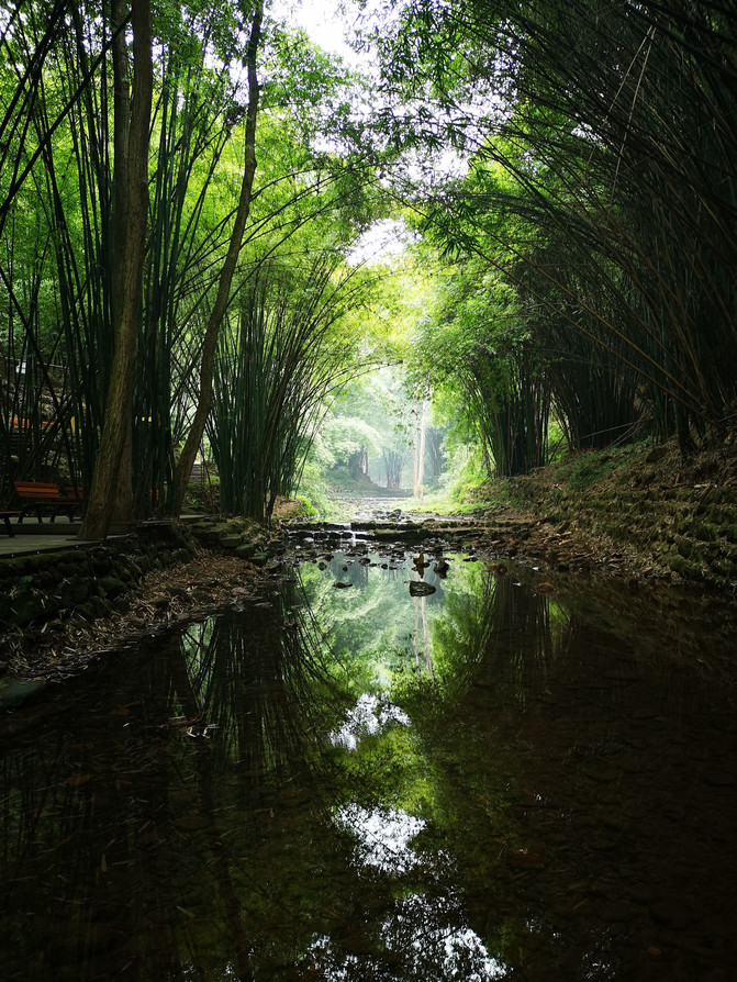
West Sichuan Bamboo Sea Scenic Area
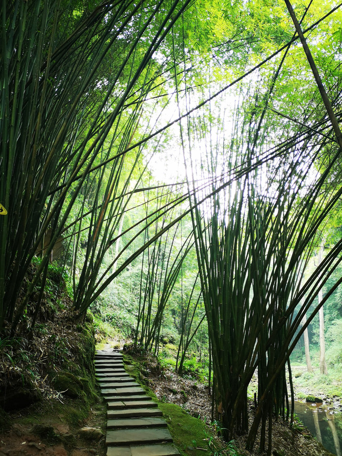
West Sichuan Bamboo Sea Scenic Area
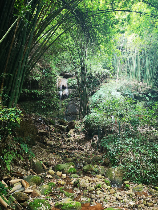
West Sichuan Bamboo Sea Scenic Area
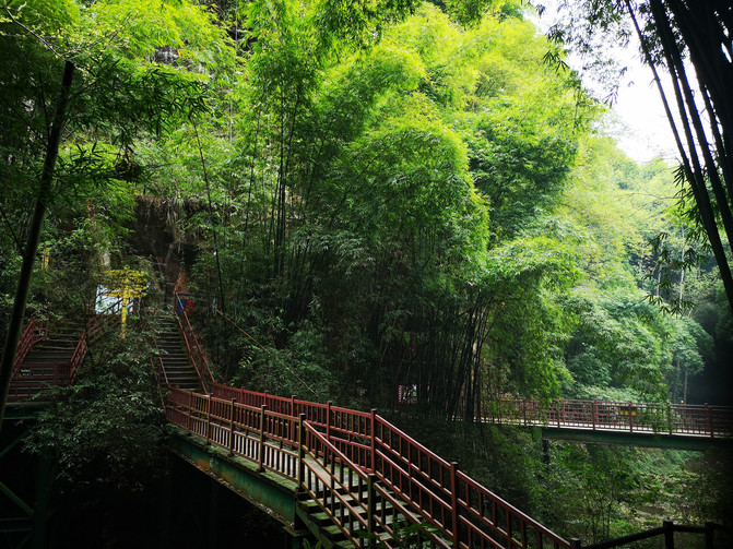
West Sichuan Bamboo Sea Scenic Area
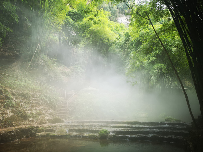
West Sichuan Bamboo Sea Scenic Area

West Sichuan Bamboo Sea Scenic Area
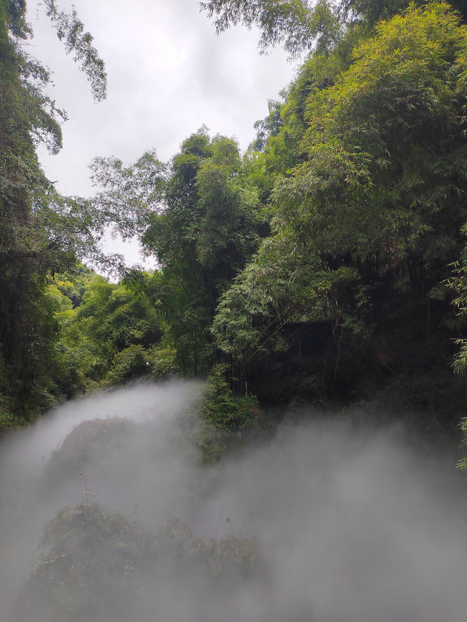
West Sichuan Bamboo Sea Scenic Area
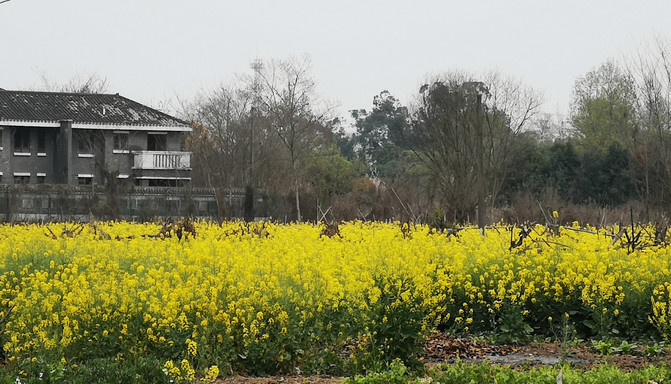
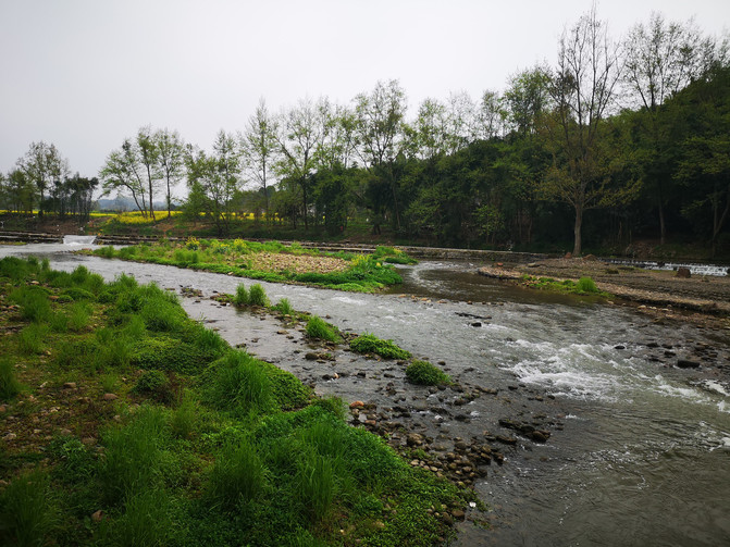
Coming down from the mountain, there is a large field of rapeseed flowers by the river. The humid air rushed towards you, and the blooming rapeseed flowers were reflected in the water, forming a tranquil pastoral beauty with the gurgling running water.
West Sichuan Bamboo Sea Scenic Area

West Sichuan Bamboo Sea Scenic Area

West Sichuan Bamboo Sea Scenic Area
After staying by the river for a while, I returned to Pingle Ancient Town.
Pingle Ancient Town is located 93 kilometers southwest of Chengdu City and 18 kilometers southwest of Qionglai City. It has a history of more than 2,000 years. It is a famous historical and cultural town in China and is known as "one level, two solid and three checkpoints." The ancient town retains ancient houses from the Ming and Qing Dynasties, lined with rows of ancient customs. Most of the houses on both sides of the ancient street are wooden structures with a first floor and a bottom. The lower floor is generally used as paving and the upper floor is used as living rooms, reflecting the strong Western Sichuan style. Ancient streets, ancient temples, ancient bridges, ancient trees, ancient weirs, ancient squares, ancient roads, ancient customs, ancient songs, lush green mountains, lush bamboo trees, a long history, and a rich culture. Since ancient times, it has become the "first town of the ancient tea-horse road and the first station of the South Silk Road."
Stroll through the ancient town, experience the various customs of the ancient street for yourself, listen to generations of good stories about ancient bridges, sit and enjoy the shade of ancient trees and yellow jues, watch the rolling waves of ancient weirs dividing water, and taste the leisurely atmosphere of ancient residential compounds. The folk art that has lasted for thousands of years and the residential buildings that have stood for a century have been dyed into the scenery of water, light and mountains with strong local characteristics. They have become the epitome and symbol of the ancient town of western Sichuan's water town, interpreting a "Qingming River Map" that integrates the past and the present.
When we visited, the ancient town was under renovation, many shops were closed and there were not many tourists.
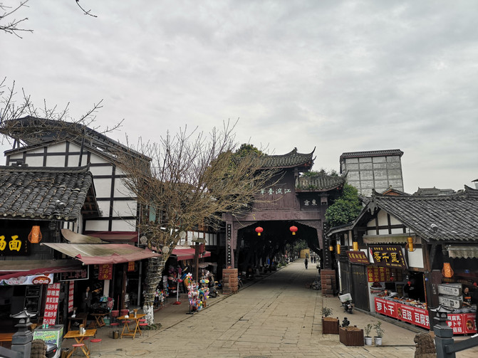
Pingle ancient town

Pingle ancient town
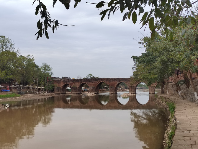
Pingle ancient town
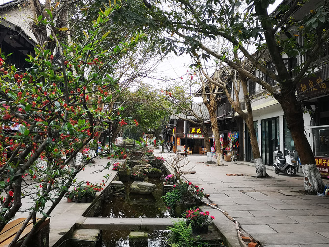
Pingle ancient town
After walking around the ancient town, I took a bus back to Chengdu, and returned to the hotel after dinner.
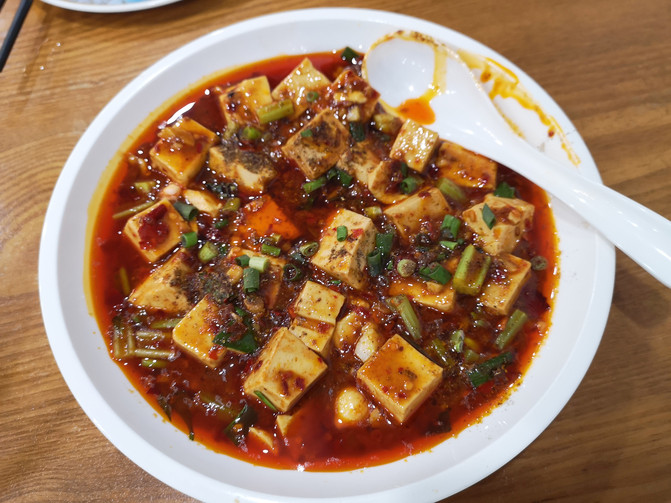
mapo tofu
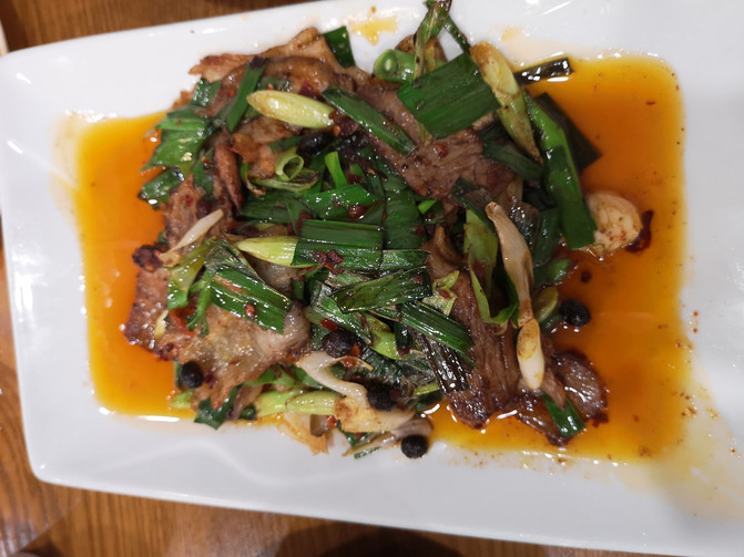
twice-cooked pork
D21
Today, we are going to stroll around the city and come to Qingyang Palace first after breakfast.
Chengdu Qingyang Palace is located in the western second section of the First Ring Road in Chengdu City, Sichuan Province. It is known as the "No. 1 Taoist Temple in Western Sichuan" and the "No. 1 Jungle in Southwest China." It is the largest and most influential famous Taoist temple in Sichuan. Qingyang Palace has a construction area of 4800 square meters of temples and houses. The building is neat. Its main buildings are divided into six floors, all built on a central axis. The main buildings are Shanmen, Hunyuan Hall, Bagua Pavilion, Sanqing Hall, Doumu Hall, Zijin Terrace, Shengsheng Terrace and Shuyan Terrace. The Qingyang Palace contains more than 13,000 pieces of scripture editions of the "Taoist Collection" engraved in the 32nd year of Guangxu of the Qing Dynasty (1906). They are all carved of pear wood. Each piece is carved on both sides. The layout is clear and the handwriting is neat. It is the most completely preserved board of Taoist classics in China and an extremely precious Taoist historical relic.
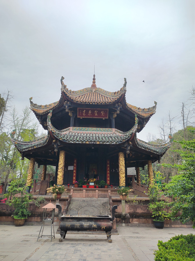
Qingyang Palace
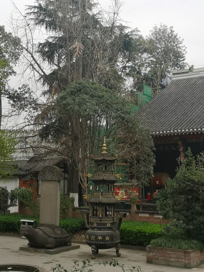
Qingyang Palace

Qingyang Palace

Qingyang Palace
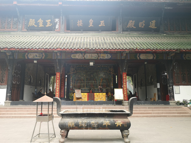
Qingyang Palace
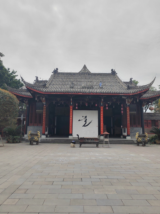
Qingyang Palace
Qingyang Palace is much bigger than imagined. After using vegetarian clothes in Qingyang Palace at noon, I came to Kuanzhai Alley again. When I came to Kuanzhai Alley this time, I found that there were some changes compared with a few years ago.
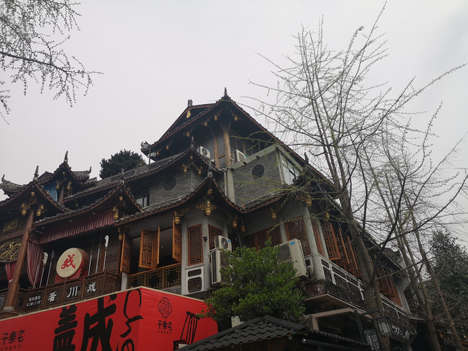
kuanzhai alley
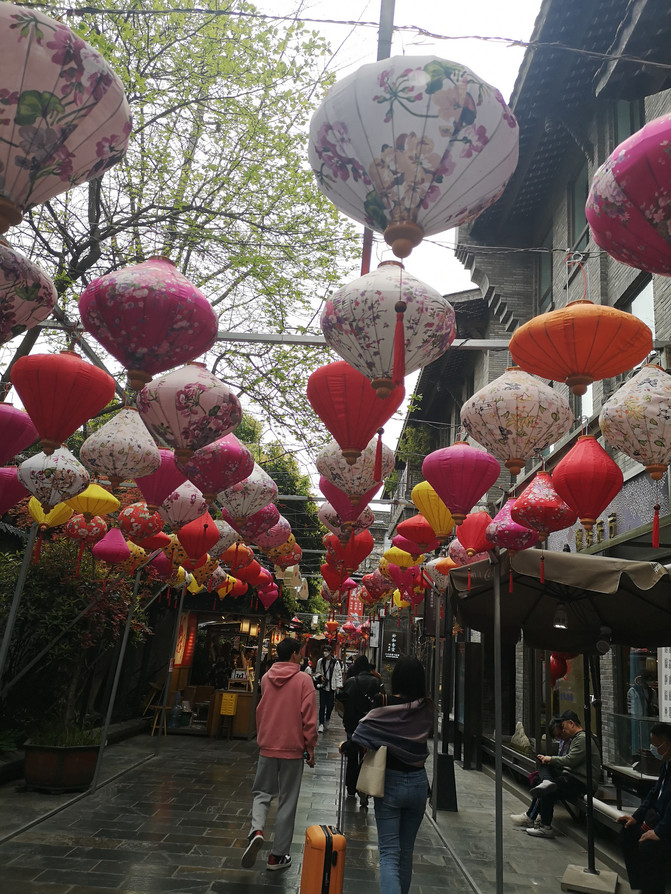
kuanzhai alley
After wandering around the wide and narrow alleys for a while, I unknowingly walked near People's Park. I remembered that there was a snack shop called Xiaomingtang Danshui surface nearby. The snacks in the shop were very delicious, so I went to this snack shop for dinner.

Tianshuishui

Sichuan flavor noodle
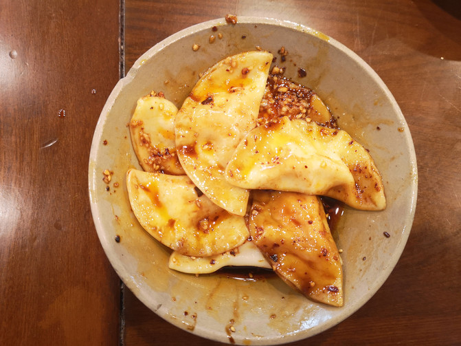
Zhong dumplings
D22
The trip ends today. I left the hotel at around 10 o'clock, took the subway to Tianfu Airport in Chengdu, and took the plane at 13:15 p.m. to return to Tianjin.
April 2023
Previous Article:[Food and Drink Chengdu] 12 double feasts of taste buds and scenery
Next Article:Chengdu cuisine taught me a lesson
