Meet the United States in China, feel poetry and distance Walking the Land of the Motherland Series 1 Comprehensive Chapter (4) G318 Sichuan-Tibet Line Self-Driving Tour Road Book (Part 1)
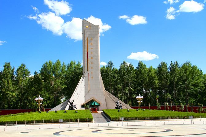
Xizang-Lhasa-Potala Palace Square-Xizang Peace Liberation Monument
Xizang-Nyingzhi-Bayi District-Gala Village Peach Blossom Garden

Xizang-Nyingzhi-Milin-Suosong Village-Overlooking Nangjabawa Peak
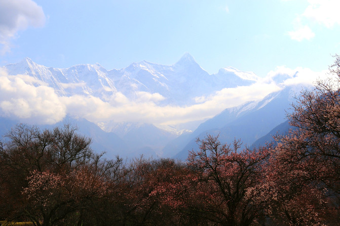
Xizang-Nyingchi-Lulang

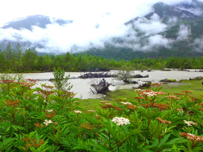
Xizang-Bomi-Gangxiang Nature Reserve-Scenery along the way
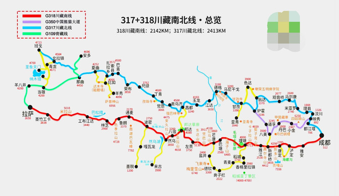
G318Sichuan-Tibet lineIt is the most beautiful, exciting and thrilling section of National Highway 318, a scenic avenue for the Chinese people. Historically, it was the Ancient Tea Horse Road, but modern it is the Sichuan-Tibet Highway. The Sichuan-Tibet Line is the abbreviation of the Sichuan-Tibet Highway. It is a highway connecting Chengdu, Sichuan and Lhasa, Xizang. This highway starts from Chengdu, Sichuan, and passes through Ya 'an, Tianquan, Luding, Kangding, Yajiang, Litang, Batang and enters Mangkang, Zuogong, Basu, Bomi, Nyingchi, Gongbu Jiangda, Mozhu Gongka in Xizang to Lhasa, with a total length of 2149 kilometers.
Schematic diagram of G318 Sichuan-Tibet line (download pictures online)
Xizang-Gongbu Jiangda-Basongcuo
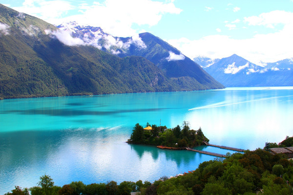
Xizang-Bomi-Palong Zangbo River
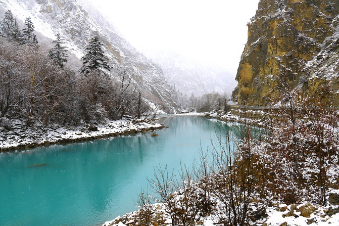
Xizang-Nyingzhi-Milin-Suosong Village-Yarlung Zangbo Grand Canyon

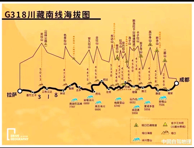
G318The Sichuan-Tibet line is famous for its precipitous, complex and unique direction.There are endless mountains and endless rivers along the way. To climb Zheduo Mountain (4298 meters above sea level), Gaoersi Mountain (4412 meters above sea level), Jianziwan Mountain (4659 meters above sea level), Kazila Mountain (4718 meters above sea level), Haizi Mountain (4685 meters above sea level), Zongbala Mountain (4370 meters above sea level), Lavu Mountain (4338 meters above sea level), Dongda Mountain (5130 meters above sea level), Yela Mountain (4658 meters above sea level), Anjula Mountain (4325 meters above sea level), More than a dozen alpine passes with an altitude of more than 4000 meters, such as Sejila Mountain (4720 meters above sea level) and Mira Mountain (5013 meters above sea level); we also need to cross the Dadu River, Yalong River, Jinsha River, Lancang River, Nujiang River, Yarlung Zangbo River and many other turbulent rivers. The scenery along the way is ever-changing and colorful. Walking through it, you can experience the wonderful feeling of "different days across the mountains, and four seasons in a day". It is also recognized as the highway with the most precipitous road conditions and the most difficult to pass through in China. The Hengduan Mountains in the eastern part of the Qinghai-Tibet Plateau where it passes is the most complex and unique alpine canyon area in the world. It is called "the soul is in heaven, the body is in hell".
Elevation diagram of the southern line of the G318 Sichuan-Tibet Line (download pictures online)
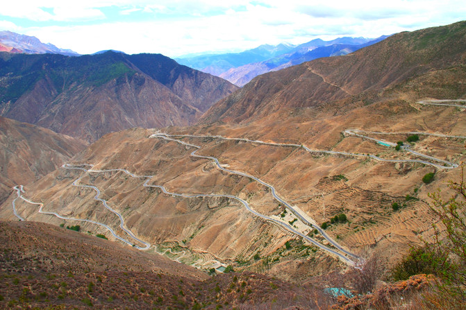
Xizang-Basu-Nujiang Road 72
Xizang-Bomi-Bomi Taohuagou
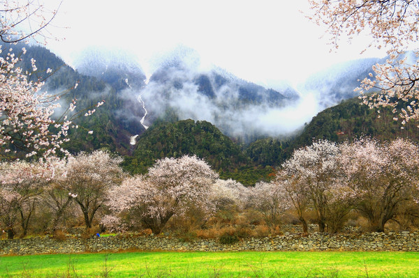
Xizang-Gongbu Jiangda-the mainstay
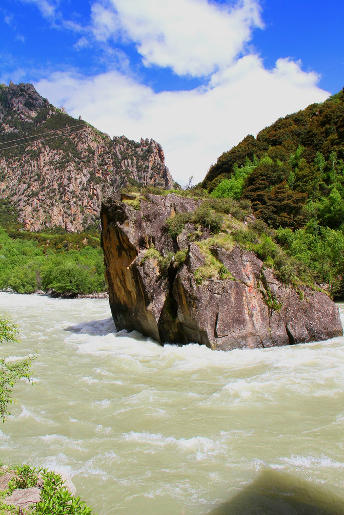
Along the G318 Sichuan-Tibet Line, there are snow-capped mountains, canyons, grasslands, forests, glaciers, lakes, rivers, etc., covering almost all types of landscapes, making it a holy place for self-driving enthusiasts. Since the 1990s, more and more travel enthusiasts have begun to try to conduct their own inspections of this national highway in various ways. In recent years, the popularity of choosing to drive into Tibet by car from the G318 Sichuan-Tibet Line has become stronger and stronger. "I must drive the 318 in this life and go west to Lhasa" has become a dream for self-driving tour enthusiasts. To be honest, there are really not many roads in this world that are worth facing without fear of hardships and hardships, but when you are lucky enough to set foot on the G318 Sichuan-Tibet Line, you will meet countless figures rushing along the way. Some are pilgrims on foot, some are real men riding into Tibet, and more are self-driving enthusiasts driving various motor vehicles. Although this road is long and thrilling, no matter how difficult and dangerous it is, it cannot stop travel enthusiasts from moving forward.
Xizang-Lhasa-Potala Palace Square-Potala Palace Night View
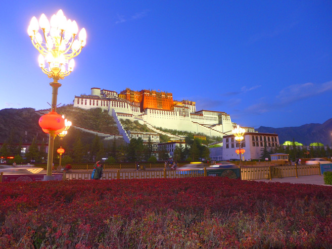
Xizang-Gongbu Jiangda-Basongcuo-Scenery along the way
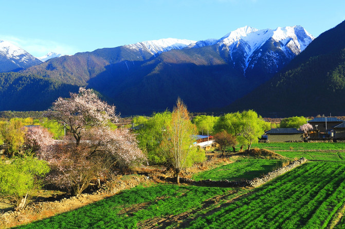
Xizang-Nyingchi-Lulang

Xizang-Basu-Ranwu Lake Wetland Nature Reserve
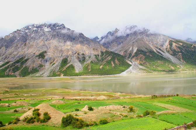
If you go, you will drive the 318 in this life and go west to Lhasa!
First stop: Chengdu-Ya 'an-Tianquan-Luding-Kangding (350 kilometers)
Chengdu is the starting point of the G318 Sichuan-Tibet Line. It is the capital of Sichuan Province, a national historical and cultural city, and has many scenic spots and historic sites. A prosperous city and a comfortable life are known as the "Land of Abundance".
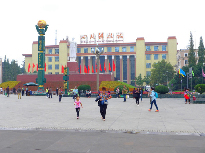
Sichuan-Chengdu-Tianfu Square
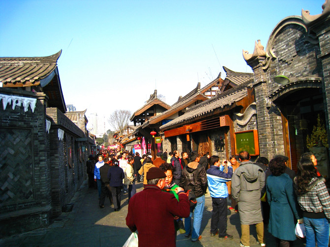
Sichuan-Chengdu-Kuanzhai Alley
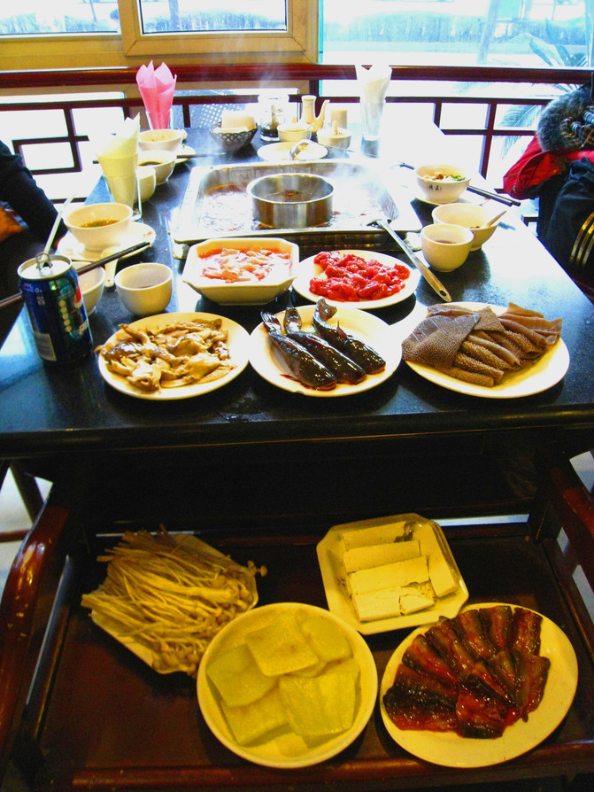
Sichuan-Chengdu-Food-Sichuan Hotpot
Sichuan-Chengdu-Jinsha Site Museum
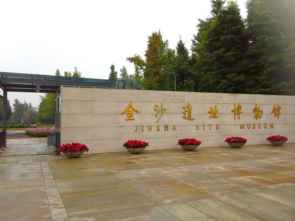
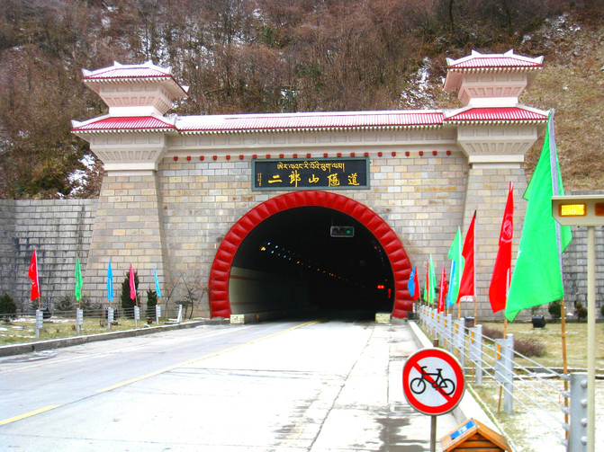
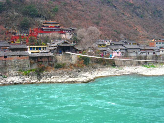
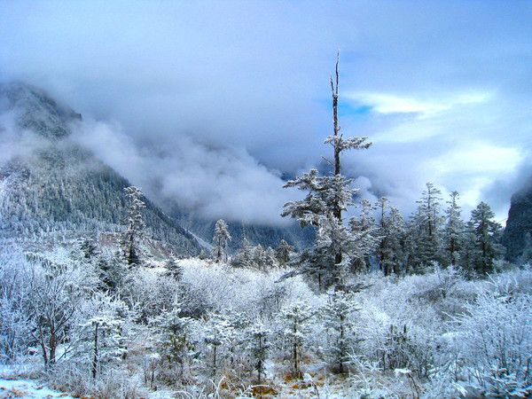
Starting from Chengdu, we started a self-driving tour of more than 2000 kilometers on the G318 Sichuan-Tibet line. Go west through Ya 'an, Tianquan, Luding to Kangding. Along the way, there are Erlangshan Tunnel Observation Deck, the majestic Luding Dadu River, etc. If you are interested, you can visit it. Walking about 50 kilometers from Luding to Moxi Town, you can reach Hailuogou Scenic Area, which is a good place to view snowy mountains and glaciers.
Sichuan-Tianquan-Erlangshan Tunnel
Sichuan-Luding-Dadu River
Sichuan-Luding-Hailuogou Scenic Area-Snow Scenery
Sichuan-Luding-Hailuogou Scenic Area-Gongga Mountain-Rizhao Jinshan
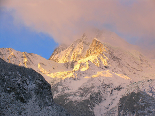
Kangding is the capital of Ganzi Prefecture. The place described in "Kangding Love Song" has both strong Tibetan culture and Han customs from the mainland. You can feel the blending of Han and Tibetan culture here. The tourism boom over the years has promoted the construction of the Urban area here, making it convenient to live and eat. There are also scenic spots worth visiting such as Mugecuo (Kangding Love Song Scenic Area), the largest alpine lake in northwest Sichuan. In addition, Kangding County is only 2395 meters above sea level. As a gradual transition from plain to plateau, it is the first choice for accommodation on the way.
Sichuan-Kangding-Ganzi Tibetan Autonomous Prefecture Museum

Sichuan-Kangding-Mugecuo (Kangding Love Song Scenic Area)

Sichuan-Kangding-Mugecuo (Kangding Love Song Scenic Area)
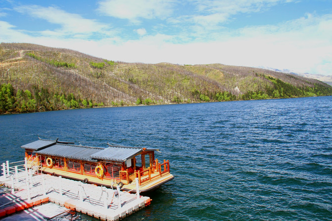
Sichuan-Kangding-Mugecuo (Kangding Love Song Scenic Area)
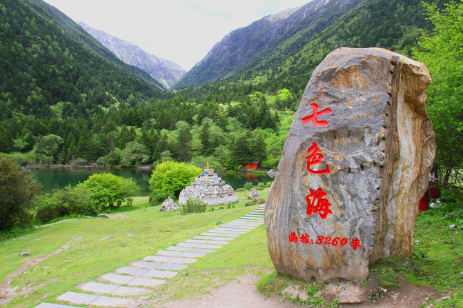
tips
1. Chengdu is a famous tourist city. There are many scenic spots and attractions both in and outside the city. It is worth staying for some time to stroll around and experience the slow life of Chengdu people.
2. Hailuogou is located in Moxi Town, Luding County, at the foot of the Gongga Snow Mountain. It has the unparalleled glacier waterfall in the world, which is magnificent. If you want to turn into Hailuogou Scenic Area to visit, you usually need to arrange more than one day more.
3. Now the expressway from Chengdu to Kangding has been opened, which is much more convenient. Although it is fast to take the highway, the cultural landscape along the way is not as good as that of National Highway 318.
Sichuan-Luding-Hailuogou Scenic Area-Great Glacier Waterfall
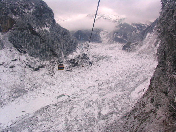
Sichuan-Luding-Hailuogou Scenic Area-Hot Spring
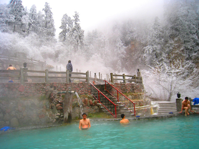
Sichuan-Luding-Hailuogou Scenic Area-Gongga Mountain

Sichuan-Luding-Hailuogou Scenic Area-Gongga Mountain-Rizhao Jinshan

Second stop: Kangding-Xindu Bridge (80 kilometers)
Not far from Kangding and driving along the Sichuan-Tibet Line, I drove my car continuously climbing the mountain and arrived at the Zheduo Mountain Pass at an altitude of 4298 meters. This is the first alpine pass with an altitude of more than 4000 meters to be crossed on the G318 Sichuan-Tibet Line. It is known as the "geographical boundary line", the entrance to the plateau, and also known as the "First Pass of Kangba". Since the Erlang Mountain Tunnel was opened, Zheduo Mountain has become the first challenging high mountain on the Sichuan-Tibet line. After National Highway 318 passes through the Yakou here, it goes down all the way to Xindu Bridge.
Sichuan-Kangding-Zheduo Mountain Pass
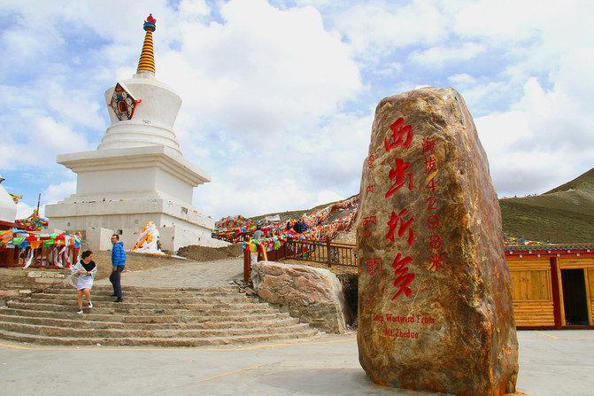
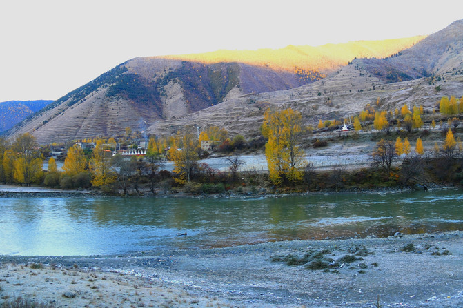
Xindu Bridge (3459 meters above sea level) is the legendary "photographer's paradise", but we have been here more than once and really haven't found anything particularly beautiful. It may be because times have changed or the seasons are wrong.
But no matter what, Xindu Bridge is still a place worth stopping here. Because this town has developed into a station connecting and communicating the southeast, northwest and northwest directions, and there are indeed many places in the surrounding area that are worth visiting.
Sichuan-Kangding-Xindu Bridge

Sichuan-Kangding-Xindu Bridge

Sichuan-Kangding-Xindu Bridge
Take Provincial Highway 215 north from Xindu Bridge to Daofu, and you will arrive at Tagong Township in just thirty or so kilometers. You can visit Tagong Grassland and Tagong Temple, and look at Yala Snow Mountain from the Yala Snow Mountain Observation Deck. Along the way, the grasslands, snow-capped mountains, temples, and villages are very beautiful. If you go a little further, you will reach Bamei Town. You can also visit the unique Chinese Moshi Park on the Bamei Grassland where there are few people and beautiful scenery.
Sichuan-Kangding-Tagong Grassland
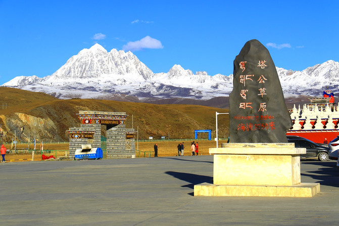
Sichuan-Kangding-Tagong Grassland
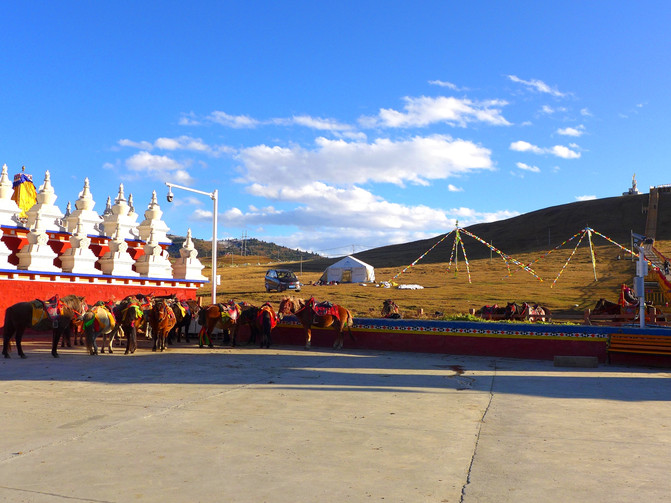
Sichuan-Kangding-Tagong Grassland-Scenery along the way

Sichuan-Kangding-Tagong Grassland-Overlooking the Yala Snow Mountain
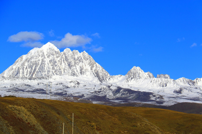
Sichuan-Daofu-China Ink Stone Park

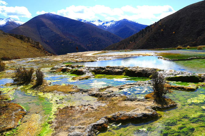
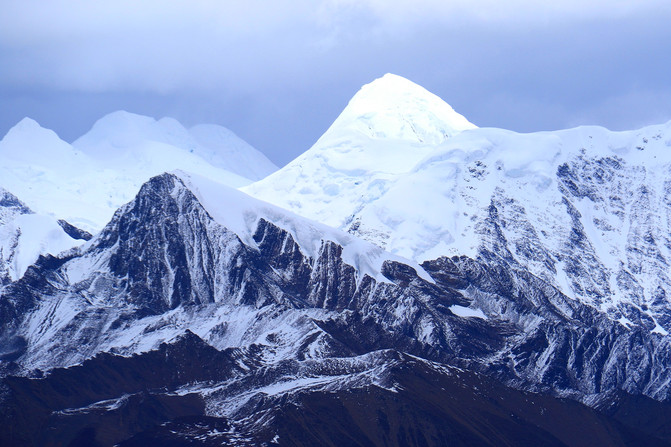
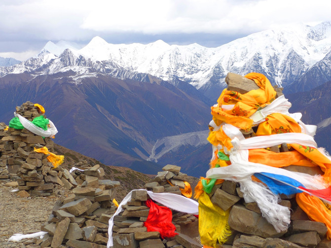
Walking south from Xindu Bridge to Kowloon, you can reach Yahayakou and Zimei Yakou via Jiagen Dam. They are good places to view and view Gongga Mountain up close. Along the way, you can also visit Calcified Slope and Quanhuatan, two scenic spots that are rarely visited by Kangding, you can not only experience the original landscape of hiking, but also enrich your travel experience.
Sichuan-Kangding-calcified slope
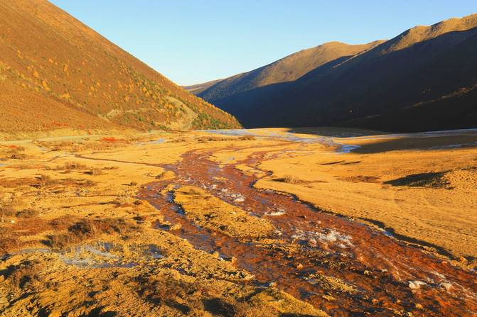
Sichuan-Kangding-Yahayakou-overlooking Gongga Mountain
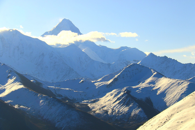
Sichuan-Kangding-Quanhuatan
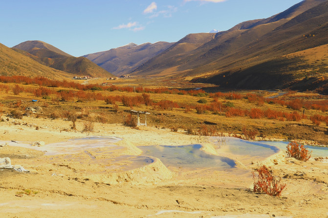
Sichuan-Kangding-Quanhuatan
Sichuan-Kangding-Zimeiyakou-overlooking Gongga Mountain
Sichuan-Kangding-Zimeiyakou-overlooking Gongga Mountain
tips
1. When parking at alpine passes to enjoy the scenery and take photos, special attention should be paid to preventing wind and keeping warm. It is common for wind and snow on alpine passes to occur from time to time. In addition, the temperature difference on the plateau will also be large.
2. Xinduqiao is not a scenic spot, but it is loved by countless people. Although it is only a small town, there are many convenient places to stay and eat. During the peak season, people come and go a little lively. It is a good choice to stay here for a while and visit the surrounding areas.
3. The road conditions from Jiagen Dam to Yaha Yakou and Zimei Yakou are poor. There are inns near Quanhuatan for accommodation, but the conditions are average. If you want to enjoy the beautiful scenery of Gongga Mountain Rizhao Jinshan at Zimei Yakou, you usually need to stay here.
Sichuan-Kangding-Xindu Bridge
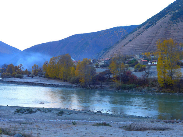
Sichuan-Kangding-Quanhuatan-Scenery along the way

Sichuan-Kangding-Quanhuatan

Sichuan-Kangding-Quanhuatan
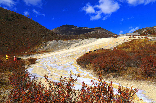
Third station: Xindu Bridge-Yajiang-Litang-Batang (370 kilometers)
Starting from Xindu Bridge, then crossing Gaoersi Mountain, known as the Second Pass of Kangba, with an altitude of 4412 meters. Not far from the mountain is the Yajiang River, with an altitude of only 2530 meters. Because of the low altitude here, some tourists will choose to stay here.
Crossing the Yajiang River and continuing to move forward is a long climbing section. After finally bypassing the 18th bend of the Tianlu, there are several high mountain passes waiting for you to climb over. They are Jianziwan Mountain (4659 meters above sea level), Xiongzongka (4281 meters above sea level), Kazila Mountain (4718 meters above sea level).
Sichuan-Yajiang-318 National Highway
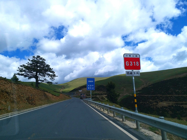
Sichuan-Yajiang-Jianziwan Mountain-Tianlu Eighteen Bend
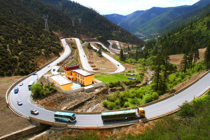
Sichuan-Litang-Xiong Zongka

Sichuan-Litang-Kazila Mountain Pass

Sichuan-Litang-Kazila Mountain Pass-Alpine Meadow

Sichuan-Litang-Kazila Mountain Pass-Alpine Meadow
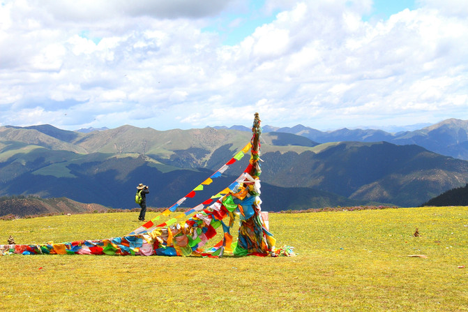
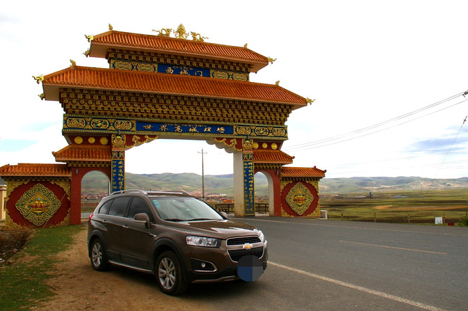
Crossing these passes, we arrived at Litang, the county with the highest average altitude in the Maoya Grassland. Its county seat is known as the "World's High City". This is also Ding Zhen's hometown. After leaving Litang, we crossed Haizi Mountain at an altitude of 4685 meters and saw Sister Lake. We continued to walk forward and reached Batang at an altitude of only 2580 meters. You can choose to stay here.
Sichuan-Litang-Xicheng Gate
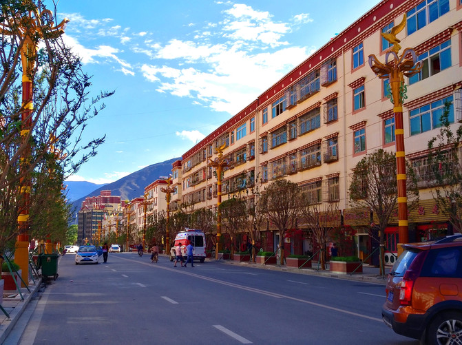
Sichuan-Litang-County-Street View

Sichuan-Batang-Sister Lake in the Misty Rain
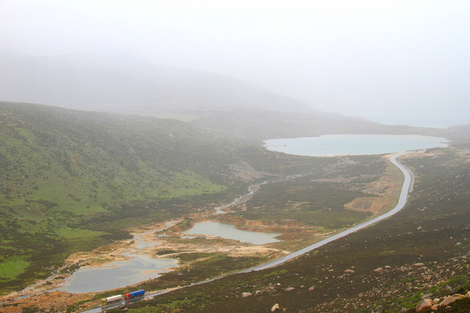
Sichuan-Batang-Scenery along the way

Sichuan-Batang-County-Street View
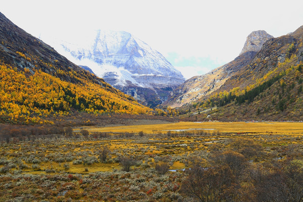
In addition, when passing through Litang, you can also choose to temporarily leave the G318 Sichuan-Tibet Line, travel south through Provincial Highway 217, take Litang-Daocheng-Derong-Deqin (Yunnan), and then follow National Highway 214 back to Mangkang on the G318 Sichuan-Tibet Line. Although taking the big U-shaped route in this way requires more than 500 kilometers more, you can visit Daocheng Aden Scenic Area, Jinsha River Bay, Baima Snow Mountain Pass, Meili Snow Mountain National Park, Lancang River Meili Grand Canyon, Millennium Ancient Salt Field and other famous scenic spots, including many core world natural heritage scenic spots, especially Daocheng Aden. Perhaps the "last pure land of the blue planet" does not exist. But "concentrating all the ultimate scenery of Tibet" must be its most authentic evaluation. Of course, if you choose to go this way, you will have to reserve at least a few more days in the itinerary.
Sichuan-Daocheng-Daocheng Yading Scenic Area-Shanuo Duoji Peak

Sichuan-Daocheng-Daocheng Yading Scenic Area-Xiannai Rifeng

Sichuan-Daocheng-Daocheng Yading Scenic Area-Yangmai Yongfeng
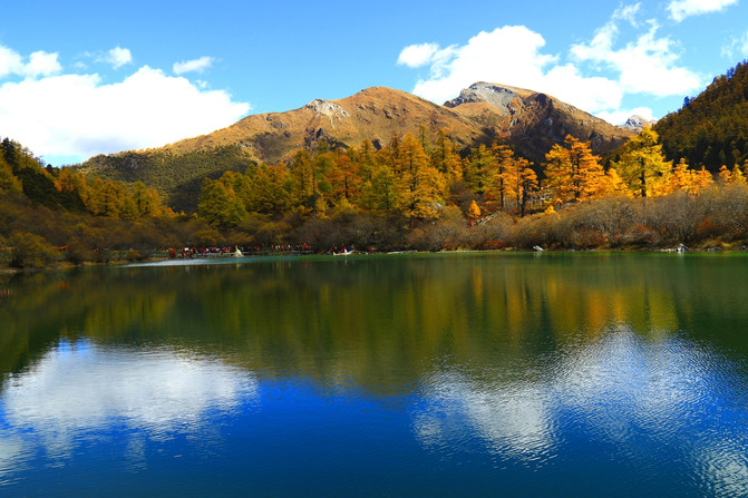
Sichuan-Daocheng-Daocheng Yading Scenic Area-Pearl Sea
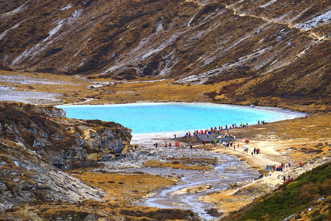
Sichuan-Daocheng-Daocheng Yading Scenic Area-Milk Sea
Yunnan-Deqin-Meili Snow Mountain
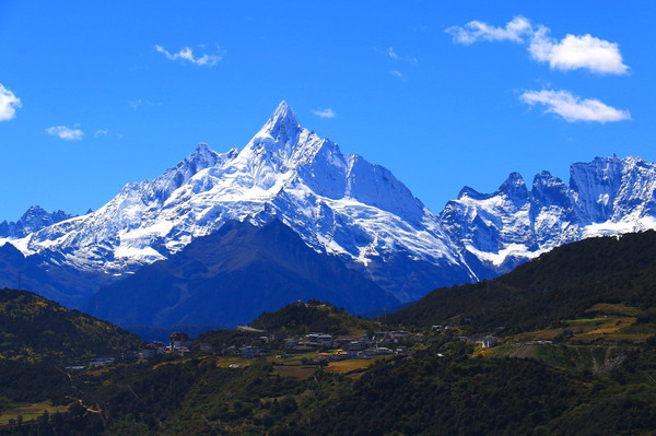
Yunnan-Deqin-Pearl Laka Observation Deck-Meili Snow Mountain
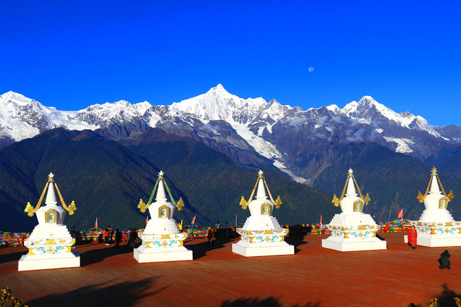
Yunnan-Deqin-Lancang River Meili Grand Canyon

Yunnan-Deqin-Lancang River

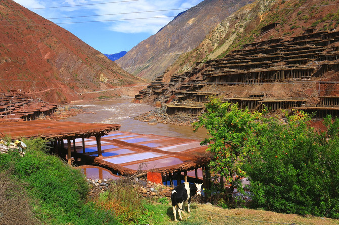
Xizang-Mangkang-Lancang River-Millennium Ancient Salt Field
tips
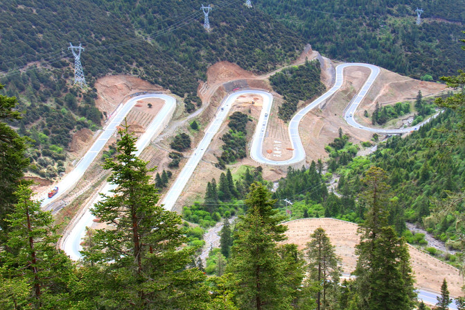
1. The observation deck at the entrance of Jianziwan Mountain Pass is an excellent location to overlook and photograph the eighteen bends of Tianlu; if you encounter good weather, you can also overlook Gongga Mountain here.
Sichuan-Yajiang-Jianziwan Shanyakou Observation Deck

Sichuan-Yajiang-Jianziwan Shanyakou Observation Deck-Overlooking the Eighteen Bends of Tianlu
2. The alpine meadow of Kazila Mountain is vast and magnificent and beautiful. You can stay more time at the mountain pass to enjoy the beautiful scenery of the mountains here.
Sichuan-Litang-Kazila Mountain Pass-Alpine Meadow
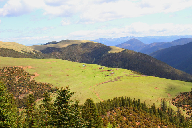
Sichuan-Litang-Kazila Mountain Pass-Alpine Meadow
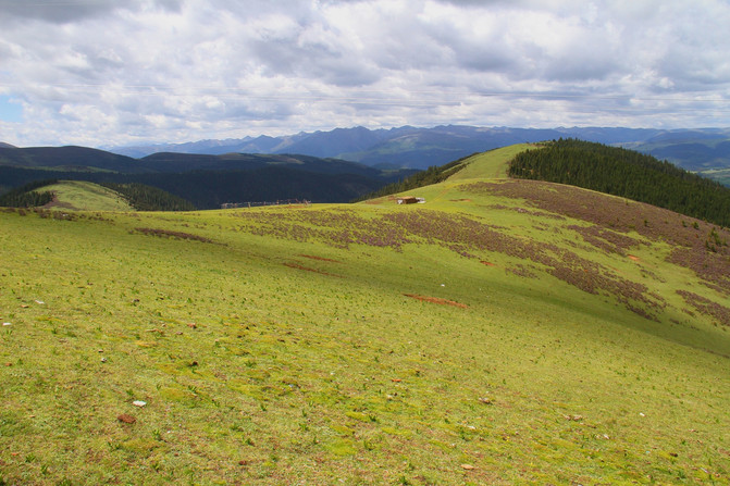
Sichuan-Litang-Kazila Mountain Pass-Alpine Meadow
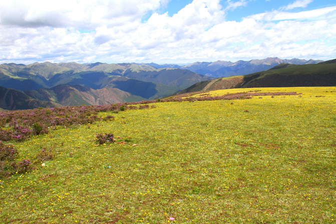
Sichuan-Litang-Kazila Mountain Pass-Alpine Meadow

3. Litang County has a high altitude of 4014 meters, and not many tourists choose to stay here. But when I passed by, it was worth squeezing in some time to visit the Changqing Kerr Temple on the outskirts of the county, and the West Gate is a check-in spot for Internet celebrities.
Sichuan-Litang-Changqingchun Keer Temple

Sichuan-Litang-Long Youth Keer Temple-Overlooking Litang County
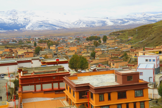
Sichuan-Litang-Xicheng Gate
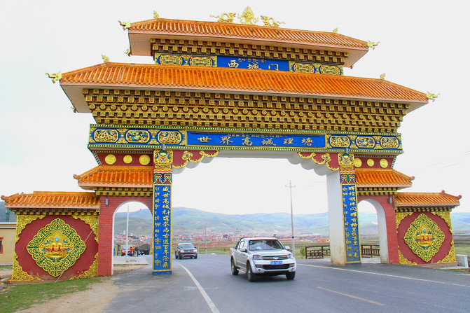
4. Provincial Highway 217 from Litang to Daocheng to Shangri-La Town has good road conditions, with a distance of about 230 kilometers. Along the way, you can visit Tuershan, Haizishan Nature Reserve, Sangdui Hongcaotan, Daocheng Airport, Daocheng Baita and other scenic spots.
Sichuan-Daocheng-Shangri-La Town
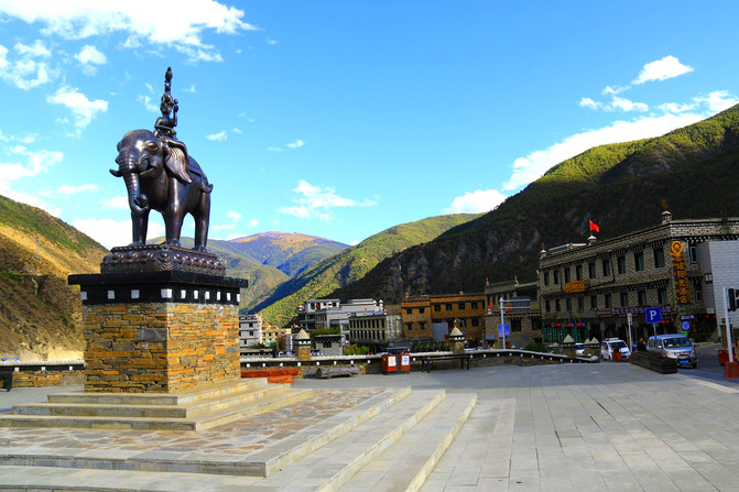
Sichuan-Daocheng-Tuershan

Sichuan-Daocheng-Haizishan Ancient Ice Cap
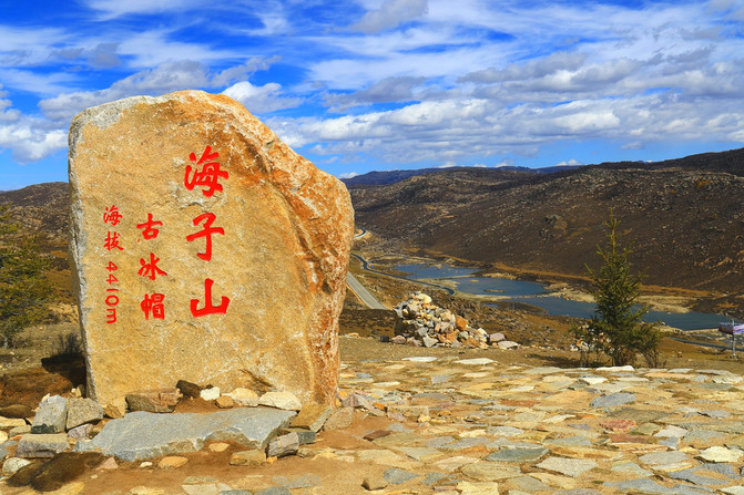
Sichuan-Daocheng-Sangdui Hongcaotan

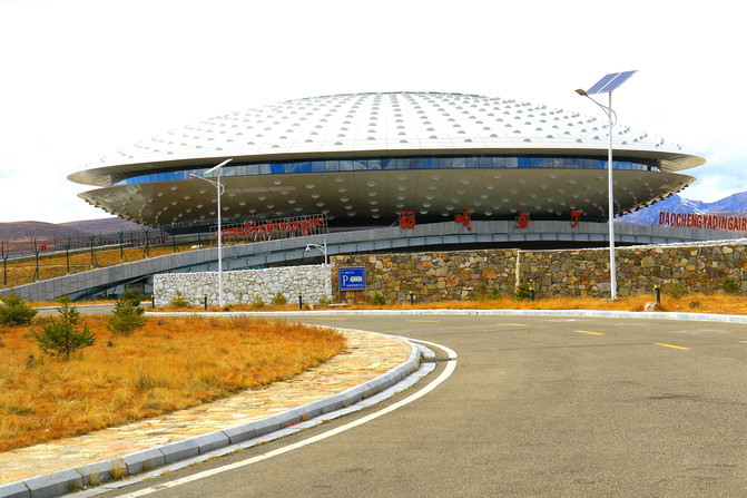
Sichuan-Daocheng-Daocheng Aden Airport
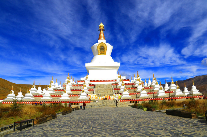
Sichuan-Daocheng-Daocheng White Pagoda (Zunsheng Tallinn)
5. A highway called the "New Dianchuan Tourism Channel" has been opened from Shangri-La Town in Daocheng (where the Daocheng Aden Scenic Area is located) to Benlanzi Town in Deqin. It has a total length of more than 220 kilometers. Not only are the road conditions very good, but there are also very few cars. The scenery along the way is even more picturesque. It feels really good to have such an environment and road to drive a car.
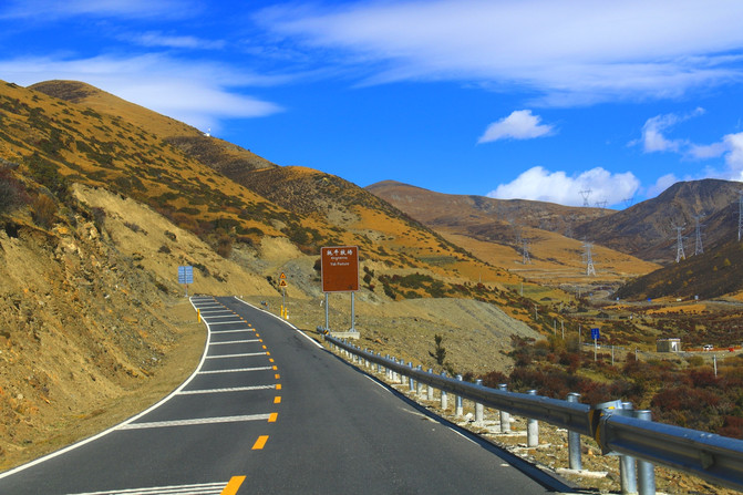
Sichuan-Daocheng-Dianchuan New Tourism Channel
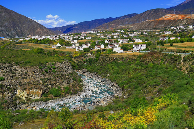
Sichuan-Rural City-New Tourism Channel for Yunnan and Sichuan-Qingde Pastoral Tibetan Village
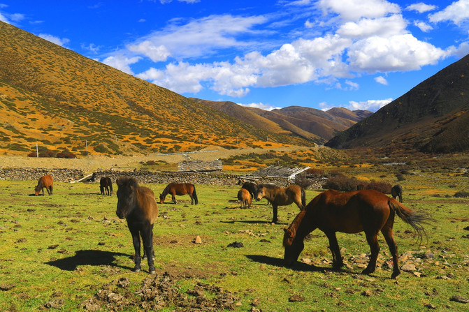
Sichuan-Daocheng-Dianchuan New Tourism Channel-Scenery along the way
6. There is a Jinsha River Bay Observation Platform in Benlanzi in Deqin, where you can view and shoot a panoramic view of the Jinsha River Bay. This scenic spot is next to the main road, making it easy to visit and enjoy.
Yunnan-Deqin-Jinsha River Bay
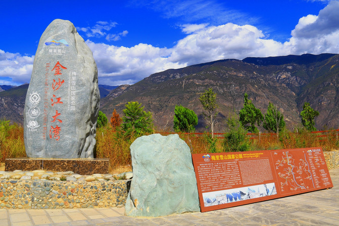
Yunnan-Deqin-Jinsha River Bay
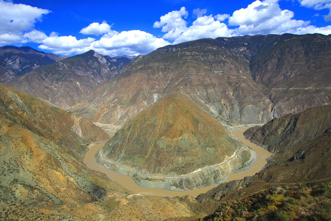
7. Tunnels 1, 2 and 3 have been opened to Baima Snow Mountain along National Highway 214 from Benlanzi to Feilai Temple. If you want to enjoy the scenery of Baima Snow Mountain, you must not take the tunnel but take the Baima Snow Mountain Pass on the old national highway. There is no need to turn back after playing. Keep going and you will return to National Highway 214. If you have good weather, the scenery on the mountain is really beautiful, don't miss it.
Scenery of the Pass of Baima Snow Mountain in Yunnan-Deqin-
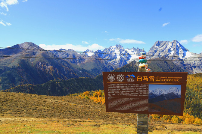
Scenery of the Pass of Baima Snow Mountain in Yunnan-Deqin-

Scenery of the Pass of Baima Snow Mountain in Yunnan-Deqin-
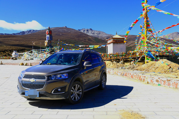
Scenery of the Pass of Baima Snow Mountain in Yunnan-Deqin-

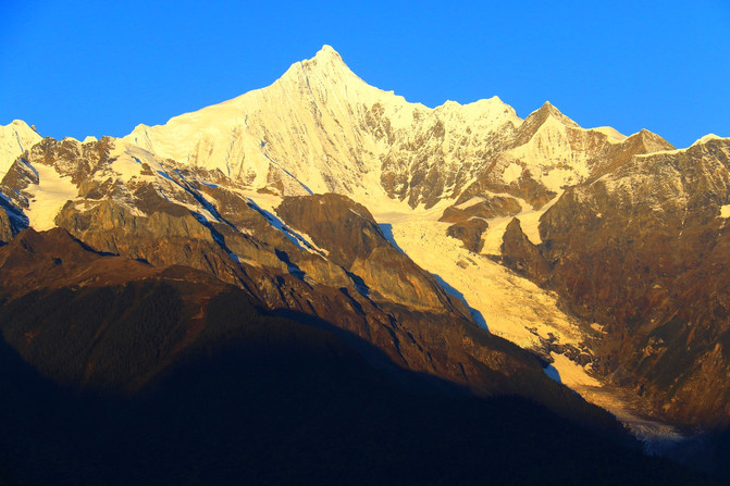
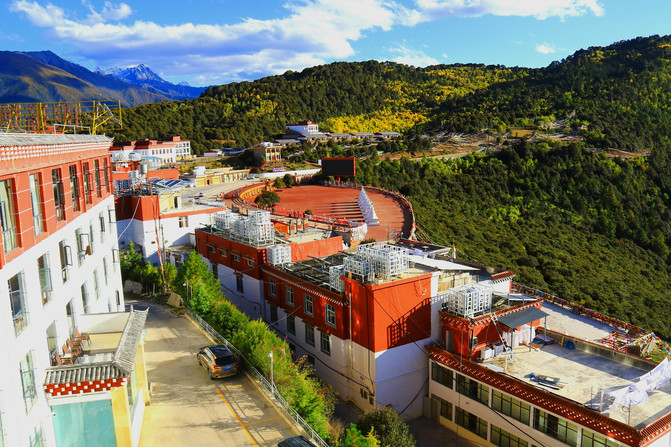
8. Deqin Feilai Temple is full of hotels and B & Bs, with both high, middle and low grades due to the Meili Snow Mountain. To enjoy the Meili Snow Mountain, especially the beautiful scenery of Rizhao Jinshan, accommodation in Feilai Temple is a unique choice.
Yunnan-Deqin-Pearl Laka Observation Deck-Overlooking Meili Snow Mountain
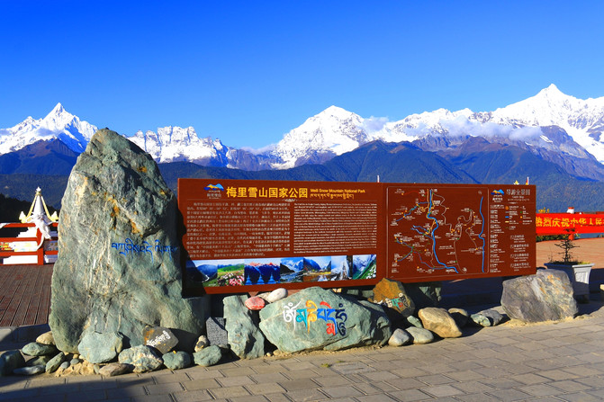
Yunnan-Deqin-Meili Snow Mountain-Rizhao Jinshan
Yunnan-Deqin-Feilai Temple-There are many hotels
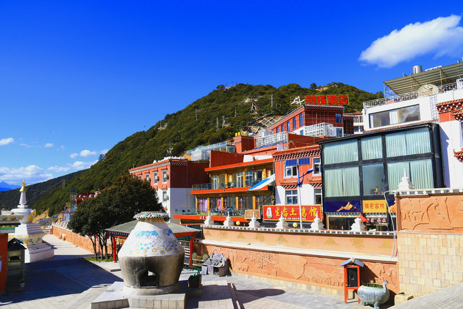
Yunnan-Deqin-Feilai Temple-There are many hotels
Next,"Meeting the United States in China, Feeling Poetry and Walking in the Motherland in a Distance Series 1 Comprehensive Chapter (5) G318 Sichuan-Tibet Line Self-Driving Tour Road Book (Part 2)
Previous Article:This boutique cultural hotel in Chengdu is worth owning
Next Article:At the foot of Qingcheng Mountain, the hot spring villa hotel in the secret realm
