Natural beauty is hard to give up, searching for rare treasures in Wuling Mountains (Part 1) - Wuling Mountain World Heritage Tour (Chongqing, Hubei, Guizhou)
Introduction: Wang Anshi wrote in "The Journey to Baochan Mountain": "The wonders and wonders of the world are extraordinary, often in the distance and danger, and are rare to humans. Therefore, those who do not have the will cannot reach them. Those who have the will cannot stop, and those who lack the power cannot reach them. Those who have the will and the power, but do not neglect them, cannot reach them even if they are dim and confused with nothing to match them
Wonders on the dividing line. Wang believes that 'strange and magnificent things are very remarkable, often located in dangerous and distant places', and this statement is true. China's famous mountains and rivers, world heritage sites, 5A scenic spots, diverse ethnic groups, highly concentrated on the boundary line of the three major terrain steps. The first step is mainly composed of plateaus at an altitude of over 4000 meters - boundary: Kunlun Mountains - Qilian Mountains - Hengduan Mountains - second step is mainly composed of plateaus and basins at an altitude of 1000-2000 meters - boundary: Daxing'an Mountains - Taihang Mountains - Wushan - Xuefeng Mountains - third step is mainly composed of plains and hills below 500 meters. Taking the Wuling Mountain area located at the boundary between the second and third tiers as an example, it densely concentrates important cultural and natural wonders such as Chongqing Wulong, Hubei Shennongjia, Enshi, Xianfeng Tangya Tusi Site, Hunan Zhangjiajie, Yongshun Laosicheng Site, Furong Town Hongshilin, Fenghuang Ancient City, and Guizhou Fanjing Mountain. It includes 6 World Heritage sites, 5 5A scenic spots, and 3 World Geoparks. In Wang's opinion, to get involved in the "extraordinary and magnificent view", one needs to have three conditions: "ambition", "strength", and "substance". 'Zhi' is spiritual and volitional, while 'force' and 'object' are material, physical and tool. Today is the perfect time, so we have a trip to the Wuling Mountain area.

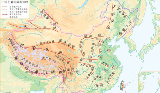
Wuling Mountain Ethnic Corridor. The Wuling Ethnic Corridor is a geographical and cultural channel for ethnic migration and flow that extends from southwest to northeast along five water systems, including the Wuling Mountains and Yuan River. Its scope roughly corresponds to the historical Wuling County and today's Wuling area. Mr. Pan Guangdan believes that there is a direct ethnic relationship between the Tujia ethnic group and the ancient Ba people. They are located in the boundary zone between the second and third tiers of China, which is the boundary between the Chengdu Plain and the Jianghan Plain. Some of the ancient Ba people have integrated into the Han ethnic group in the Chengdu Plain and have developed relatively independently as descendants of the ancient Ba people in the Wuling Mountain area, forming the Tujia ethnic group as the main ethnic group. In the Wuling Mountain area, there is also a fusion of the Miao Yao ethnic group that migrated southward and the Zhuang Dong ethnic group that migrated westward, mainly intersecting in the Miaoling Mountain area of Guizhou.
1、 Chongqing Wulong Karst
1.1 Karst landform.
Karst, also known as karst, is a geological process in which water mainly causes chemical dissolution of soluble rocks (carbonate rocks, gypsum, rock salts, etc.), supplemented by mechanical effects such as erosion, subsurface erosion, and collapse caused by flowing water, as well as the phenomena resulting from these processes. In 2007, the "South China Karst" (the first batch), which is composed of sword shaped, column shaped and tower shaped karst in Yunnan Stone Forest, forest karst in Libo, Guizhou, and three-dimensional karst represented by Tiansheng Bridge, ground fissure and Tiandong in Wulong, Chongqing, was successfully selected as a world natural heritage.
On August 4, 2019, starting from Leshan, following the Longhan Expressway and Guanglu Expressway, passing through Zigong and Luzhou, entering Chongqing, driving more than 250 kilometers directly to reach the Dazu Baoding Mountain Stone Carvings. In the afternoon, heavy rain poured down, and I still braved the rain to go to the Beishan Stone Carvings.
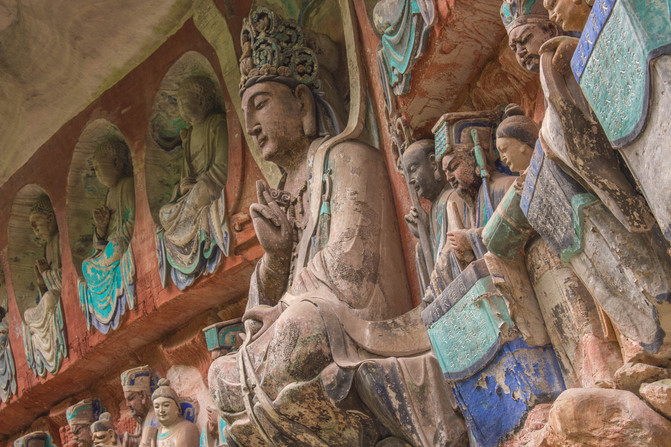
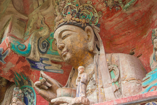
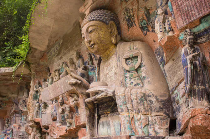
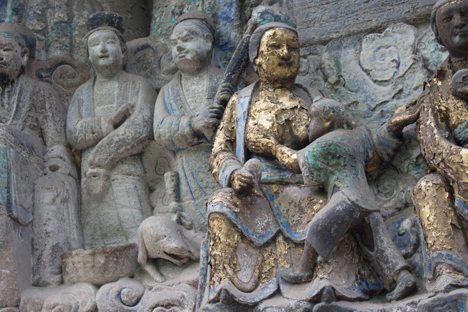
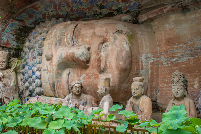
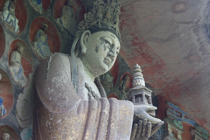
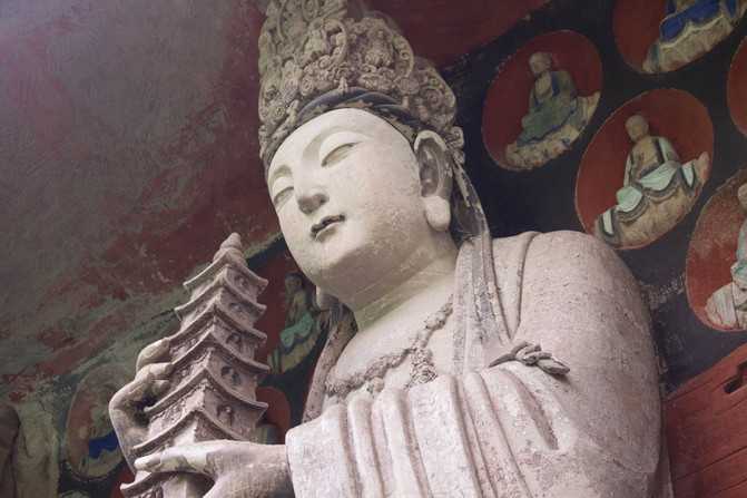
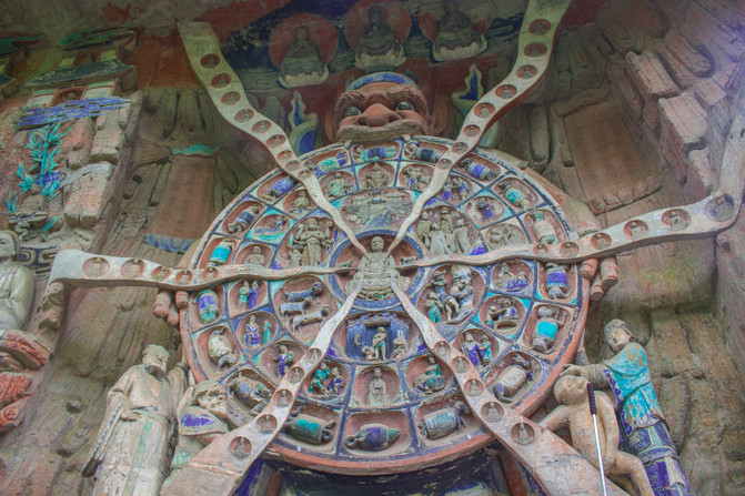
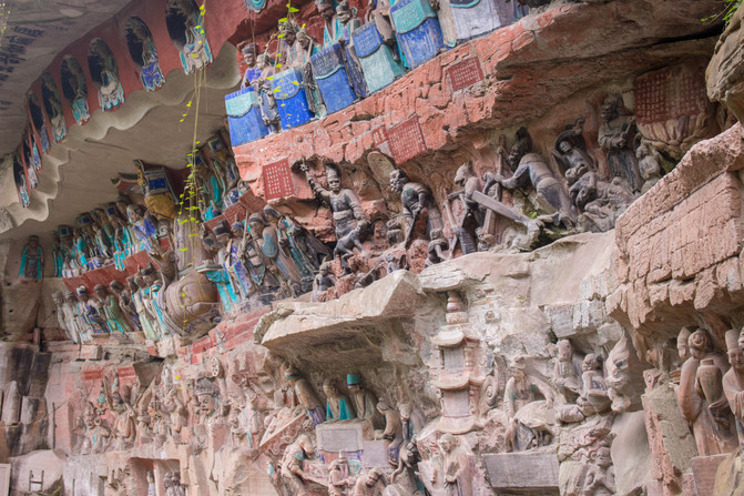
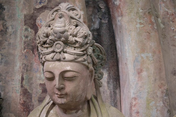

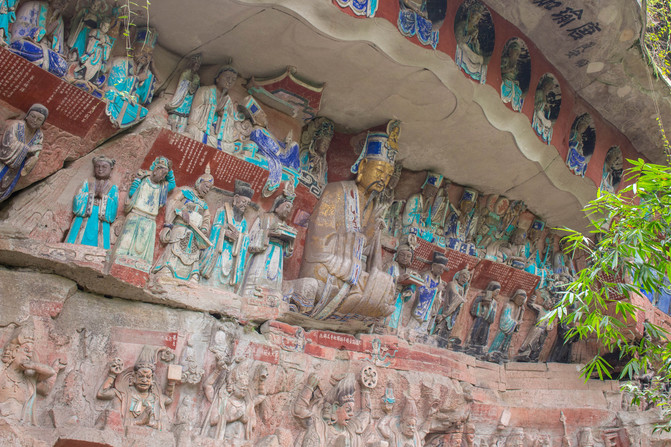
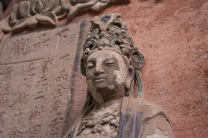
After breakfast the next day, drive to Wulong. Passing through the Chongqing Chengdu Expressway and Baomao Expressway for over 260 kilometers, crossing the river through mountains and entering the Wuling Mountain area. Humanity is like a "golden bridge and silver cave". The Baomao Expressway, when encountering mountains and rivers, opens tunnels and bridges, demonstrating China's strong engineering construction capabilities and determination to develop and grow, which is extremely inspiring!
1.2 Wulong lava.
As mentioned above, Wulong Karst is a three-dimensional karst represented by Tianshengqiao, Dijian, and Tiandong. The main attractions are Tiankeng Scenic Area, Dijian Scenic Area, and Furong Cave Scenic Area scattered in three places. Tiankeng and Dijian have transfer buses, and Furong Cave is relatively far away.
1.3 Fairy Town.
The tourist center of Tiankeng Dijian is located in Xiannv Town, Wulong. Xiannv Town is a well-known vacation town in Chongqing. In August, the town is still hot at noon and cool at night, so air conditioning is unnecessary. With the rapid development of Chongqing's economy and the popularity of tourism in Wulong, the vacation economy in Xiannv Town is thriving. Countless villas and villas have been built on the mountains. As night falls, the lanterns gradually light up, and the mountains and fields are filled with brilliant lights and flowers, shining with the stars in the sky, making it very magnificent.
1.4 Born with three bridges.
In the afternoon, take the scenic shuttle bus directly to Tiansheng Sanqiao and descend to Tiankeng. Tiankeng is a common type of karst landform, which is formed by the erosion of dissolved rocks caused by flowing water, and Tianshengqiao is the residual part of incomplete collapse. The shuttle bus is parked on the mountaintop next to the sinkhole, and there are two ways to reach the bottom of the sinkhole: one is to take the elevator directly to the bottom of the sinkhole, and the other is to walk down the trail. We chose to slowly descend along the trail, with lush vegetation along the way. The river and lawn at the bottom of the sinkhole were faintly visible. Suddenly, the child screamed, 'What a big bee!' I turned my head and saw a bee like creature dancing among the flowers. Upon closer inspection, with feathers, a long beak, and a larger body, isn't this a hummingbird?! What a hummingbird!
It took over half an hour to reach the bottom of the sinkhole. The first sinkhole is called Tiansheng sinkhole. The bottom of the sinkhole is flat, with lush grass and lush bamboo forests. A small river rises from the ground, winding and flowing, and a waterfall jumps out of the cliff and falls to the bottom of the sinkhole. The 'Tianfu Official Post Station' is nestled among the green bamboo, surrounded by rugged rocks, creating a gloomy and ominous atmosphere. The 'Optimus Prime' stands tall on the lawn, majestic and imposing, with a heroic spirit of risking one's life to survive. This used to be the filming location for movies such as Zhang Yimou's "Curse of the Golden Flower" and Michael Bay's "Transformers 4". Walking onto the trail in the middle of Tiansheng Tiankeng, one can finally see its full view: one side of the Tiankeng is gentle, the other side is steep, and both sides are locked by Feilong Bridge and Qinglong Bridge. Feilong Bridge is the first natural bridge on the Yangshui River Canyon, also known as Toudao Bridge. It is tall, heavy, and majestic, and is known for its magnificence. Qinglong Bridge is the second natural bridge on the Yangshui River Canyon, also known as Zhonglong Bridge. It is named after the waterfall that pours into mist from the bridge deck after rain, and the sunlight turns into a rainbow, resembling a green dragon soaring straight up. After crossing the Qinglong Bridge, one enters the Feiying Tiankeng, which is named after the flying eagle that spreads its wings and wants to fly on the Qinglong Bridge. Passing through the Feiying Tiankeng, you will arrive at the Black Dragon Bridge, which is the most downstream natural bridge in the Yangshui River Canyon. The arch is deep and dark, resembling a black dragon winding through the cave roof. On the north side of the cave wall, there are four hanging springs, including the Mist Spring, Pearl Spring, Yixian Spring, and Sandie Spring, with different styles and full of fun. This is the natural Three Bridges, forming a unique geological wonder of "three bridges sandwiching two pits".
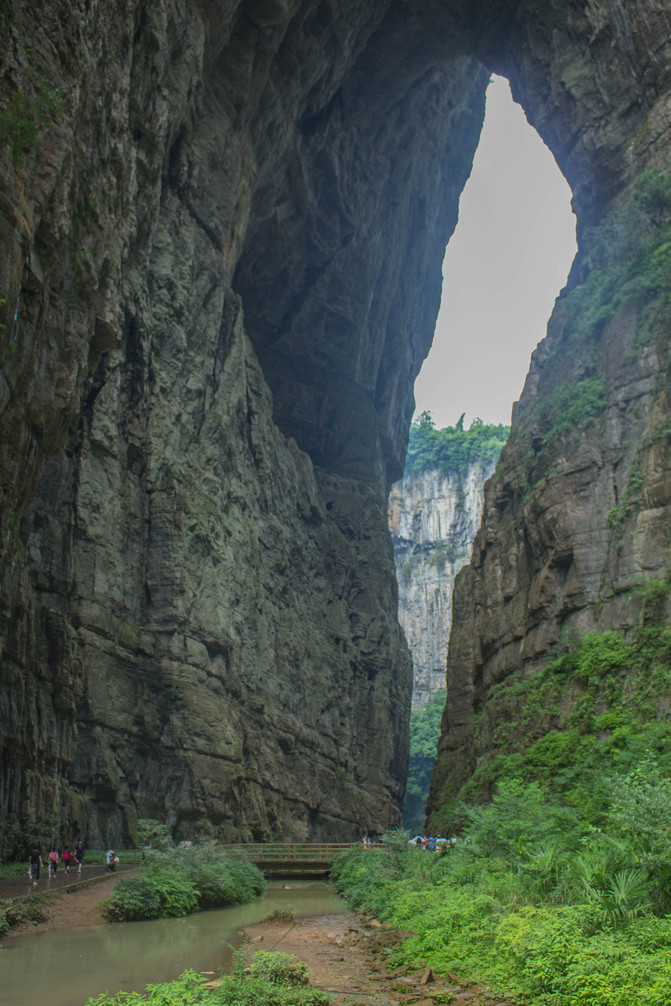
Qinglong Bridge
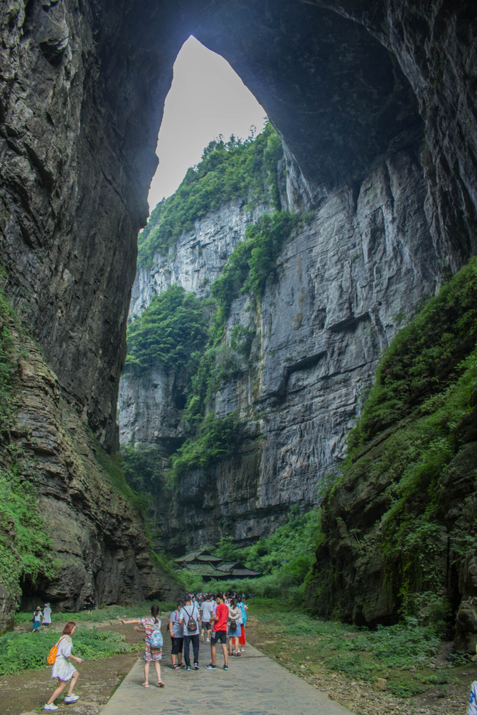
Feilong Bridge
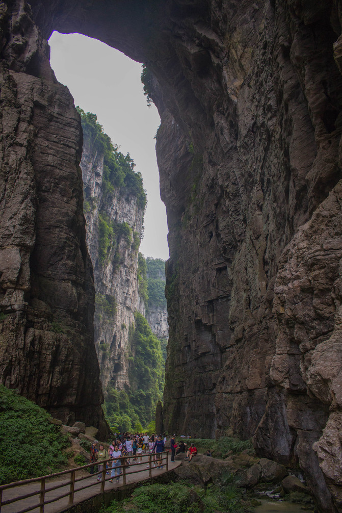
Qinglong Bridge
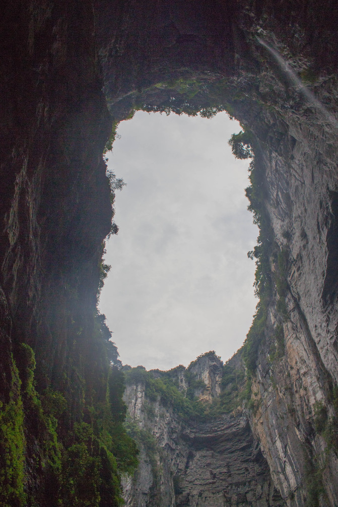
Flying Eagle Sky Pit
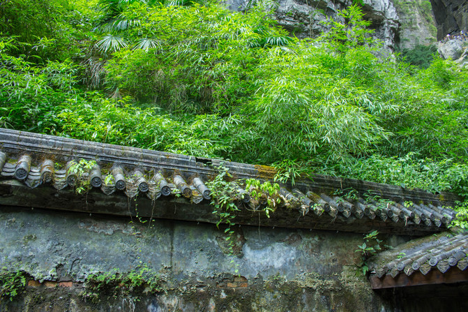
Tianfu Official Post
1.5 Longshui Gorge fissure.
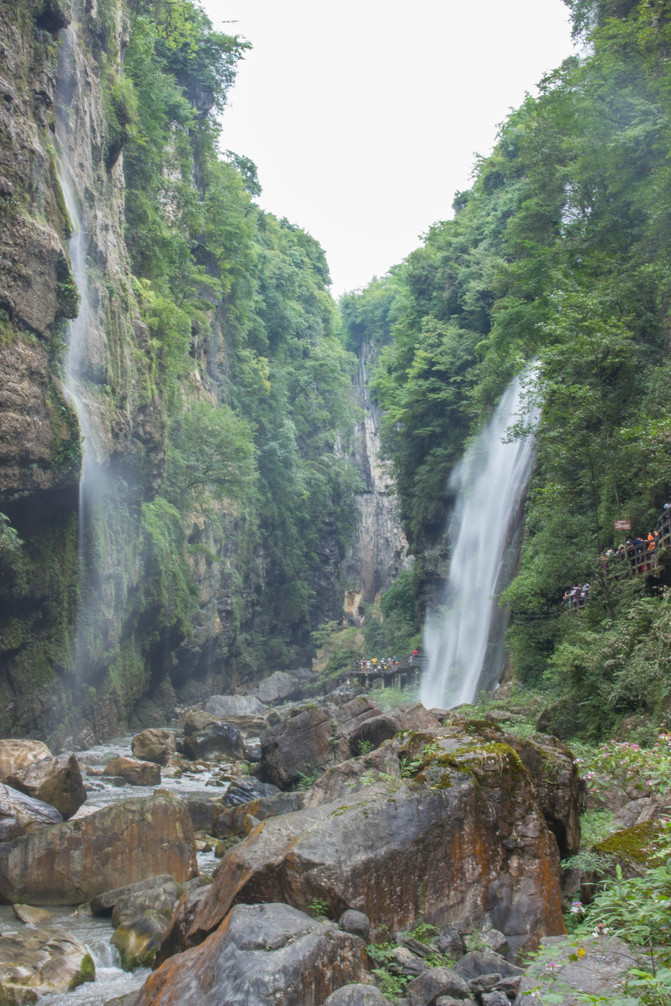
From the Tiansheng Sanqiao Scenic Area, you can take a shuttle bus to reach the return or transfer station, or walk up the mountain to reach the station. Scared but not dangerous, we caught the last shuttle bus to Longshui Gorge and became the last group of tourists to visit Yunlong Gorge that day. Pass through the ticket checkpoint, cross the tunnel, and arrive at the boardwalk above the ground seam. Looking out from the boardwalk, an underground river breaks through the cliff and rushes out. Under the long-term erosion of the flowing water, the cliff collapses and forms a huge natural cave. A river on the ground from the mountains flies down from above the cliff, forming a waterfall with boiling water vapor and deafening sound, intersecting with the stream flowing out of the cave hall. The boardwalk winds and twists, spiraling downwards, passing around the cave hall, passing through the waterfall, and extending to the bottom of the fissure ditch. The intersecting rivers have a huge water flow, plummeting all the way down and forcefully cutting a crevice in the mountains.

Longshui Gorge fissure
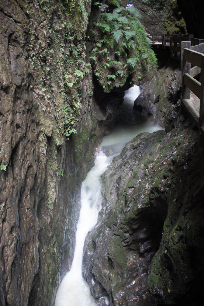
1.6 Furong Cave.
Furong Cave is located in Jiangkou Town, Wulong, on the banks of the Furong River. Drive through mountains and valleys at low speed all the way to reach the Furong Cave Tourist Center. Tourists come in groups of three or three, carrying their families and families, and rarely travel in large groups. The trail from the tourist center to the Furong Cave scenic area has long been abandoned, overgrown with weeds, and almost everyone chooses to take the cable car directly. The cableway is two to three zhang above the ground, slowly traveling along the Furong River, crossing a mountain ridge, and then seeing Furong Cave from a distance. It's the dog days of August, and the heat outside the cave is unbearable. But as soon as I stand at the entrance, I feel a cool breeze and a sense of comfort. Furong Cave is known as the "most beautiful cave in China" and truly lives up to its reputation. Various stalactites, stalagmites, stone pillars, and stone needles inside the cave have transformed into the "Needle of the Sea God", "Ten Thousand Arrows Firing Together", "Guanyin Sitting on a Lotus", "Standing on the Ground to Become a Buddha"... with various postures, lifelike and full of charm. Under the illumination of colorful lights and the reflection of flowing water, a colorful and fantastical underground palace is formed. One cave after another, one scenery connected to another, dazzling and overwhelming. Unconsciously, I had already traveled around and arrived at the entrance of the cave
2、 Charm Enshi Prefecture
2.1 Enshi.
Hubei Tujia Autonomous Prefecture has more than 20 famous ethnic groups including Tujia, Miao, Dong, Hui, Mongolian, Zhuang, Yi, Naxi, etc. It is a typical area of ethnic diversity and the core area of the Wuling Ethnic Corridor. Enshi Grand Canyon is known as the "most beautiful scar on Earth", and Hefeng Escaping Gorge is known as the "fairy tale of China".
2.2 Lichuan Tenglong Cave.
Now I often think of Tenglong Cave, and every time I think of it, I feel terrifying and eerie. Coming down from Xiannv Mountain and reaching Fengdu County, passing by Baiyu Cave (one of the five most beautiful caves in China). After passing through Yinbai Expressway and Huyu Expressway for more than 170 kilometers, we arrived at Tenglong Cave on the outskirts of Lichuan. As soon as I entered Hubei province, it started to drizzle. When I arrived at Tenglong Cave, the light rain turned into a torrential downpour, and ticket sales were temporarily suspended. After about an hour, the heavy rain will stop before we can enter the cave to visit. Tenglong Cave consists of two major caves: the dry cave and the water cave. The dry cave is an ancient channel of the Qingjiang River, while the water cave is a new channel of the Qingjiang River. More than an hour of heavy rain caused the Qingjiang River to surge, and when the water reached Tenglong Cave, it suddenly tightened, as if it was stuck in the neck, forming a falling water. The waves were surging, the waves were rolling, and the water vapor was rising into the air. The sound was deafening, with a thunderous momentum. The Qingjiang River, with its body covered in yellow Hun and white flower dragon head, struggled, rolled, and roared here, and was thus trapped underground by the black hole of Tenglong Cave. What a terrifying, eerie, and awe inspiring natural landscape this is, even more so than the Tiger Leaping Gorge in Yunnan. The entrance of the dry cave is huge, and it is said to be able to take off and land helicopters. Two waterfalls fly down from the cave wall, forming a spectacle of "two dragons spitting water". Looking out from inside the cave, the tall entrance, the reflection of the entrance, the "Two Dragons spitting water", the lawn outside the cave, and the distant green mountains form a stunning scene. There is a sightseeing bus at the entrance of the cave that goes directly to the deep part of the dry cave for a light show. Going further inside is not something that tourists can explore.
On the second day, I stayed in Lichuan and planned to cross the ancient Qingjiang River. Unfortunately, it rained heavily all night and I couldn't make it. Fortunately, Lichuan is a cool city with pleasant temperatures and a popular summer resort.
2.3 Enshi Grand Canyon.
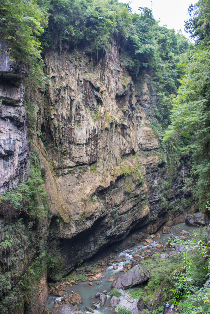
Enshi Grand Canyon is located deep in Wuling Mountain and is a typical karst landform, including geological wonders such as sinkholes, fissures, cliffs, peak forests, rock pillars, caves, and underground rivers. Known as the "Natural Museum of Karst Landforms" and "the most beautiful canyon on Earth". The main open areas now are Yunlong Dijian and Qixingzhai. Driving over mountains and valleys from Lichuan to Enshi Grand Canyon Tourist Center, the weather remains hot after the rain.
2.4 Yunlong Ground Seam.
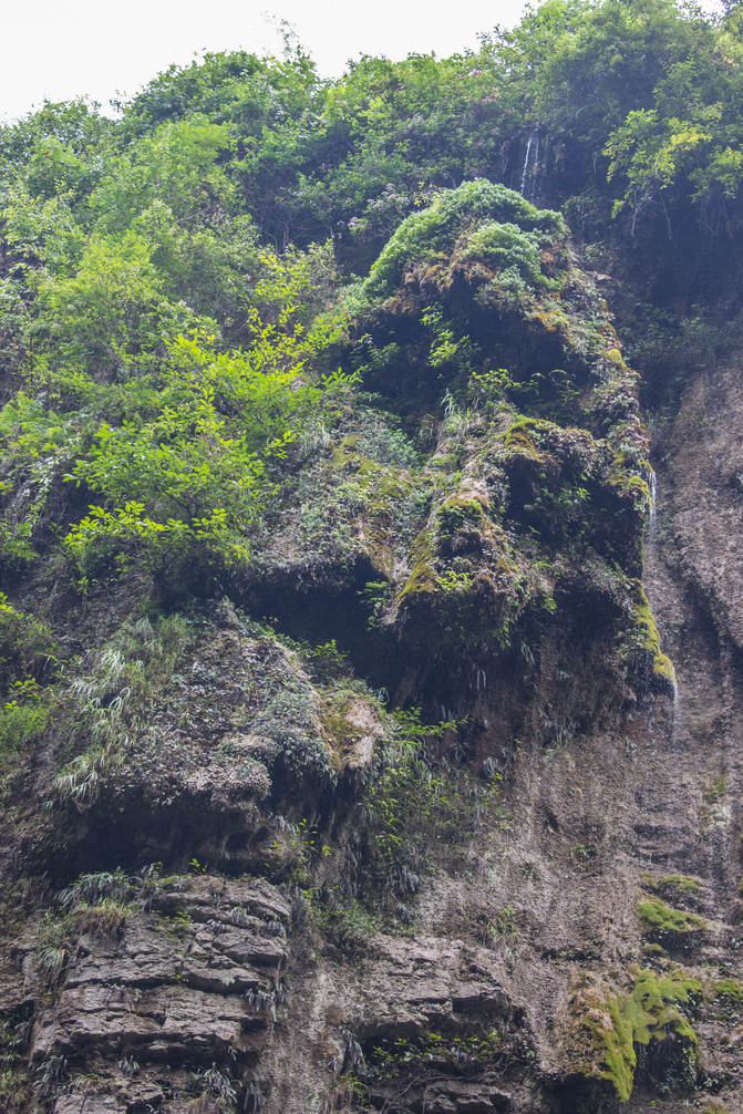
Tourists have already formed a long queue by taking the shuttle bus to the underground scenic spot. Enter the ticket gate, cross the corridor bridge, and descend to the hanging wall plank road in the ground seam. Follow the plank road to visit the ground seam, and the scenery is similar to the Longshui Gorge ground seam in Wulong.

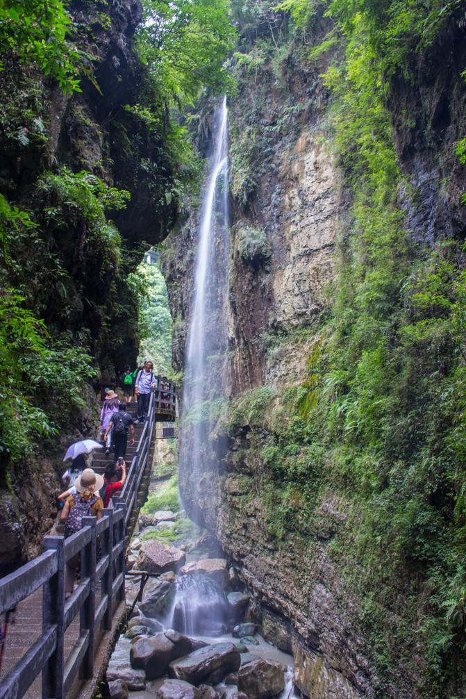
2.5 Seven Star Village.
Squeezing out from the crevice, I just took a shuttle bus to Qixingzhai (there is also a cable car leading to the top of Qixingzhai). Looking down at the crevice from Qixingzhai, the earth was deeply scarred. The so-called Seven Star Fortress is named after the seven easy to defend but difficult to attack fortresses and forts that were once built on the mountaintop. Arriving at the starting point of the hiking trail in Qixingzhai Scenic Area, I stopped at a deep fried potato shop. The shop owner's homemade sour chili mixed with potatoes served as an appetizer and immediately felt energized. When I left, I bought a big bottle of sour chili peppers. Although I didn't have any fried potatoes, mixing them with Lichuan water shield vegetables was another delicious dish.
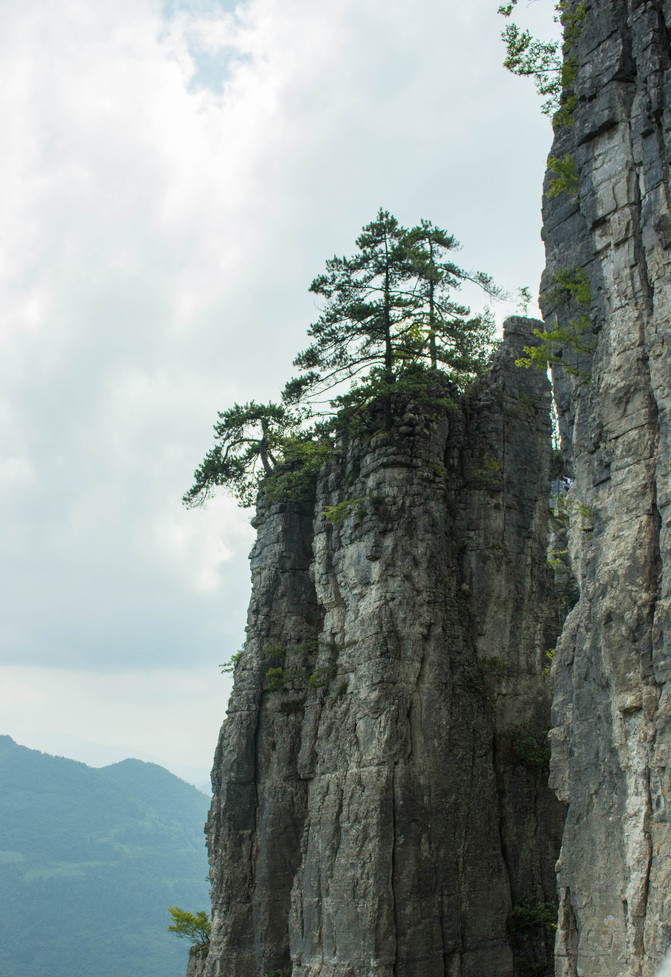
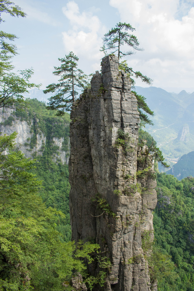
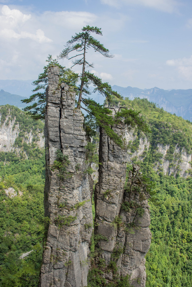
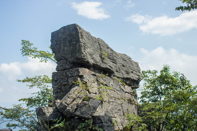
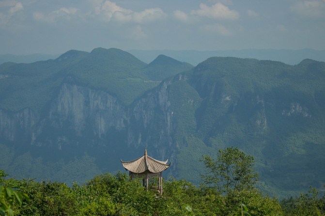
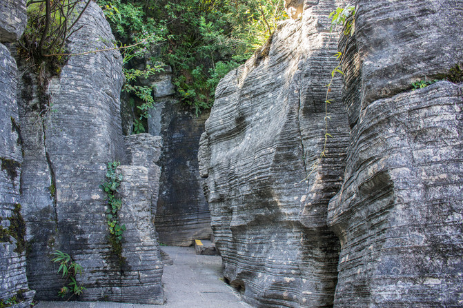
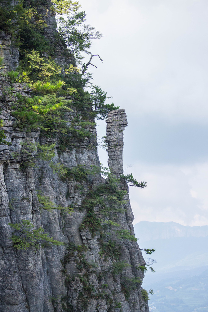
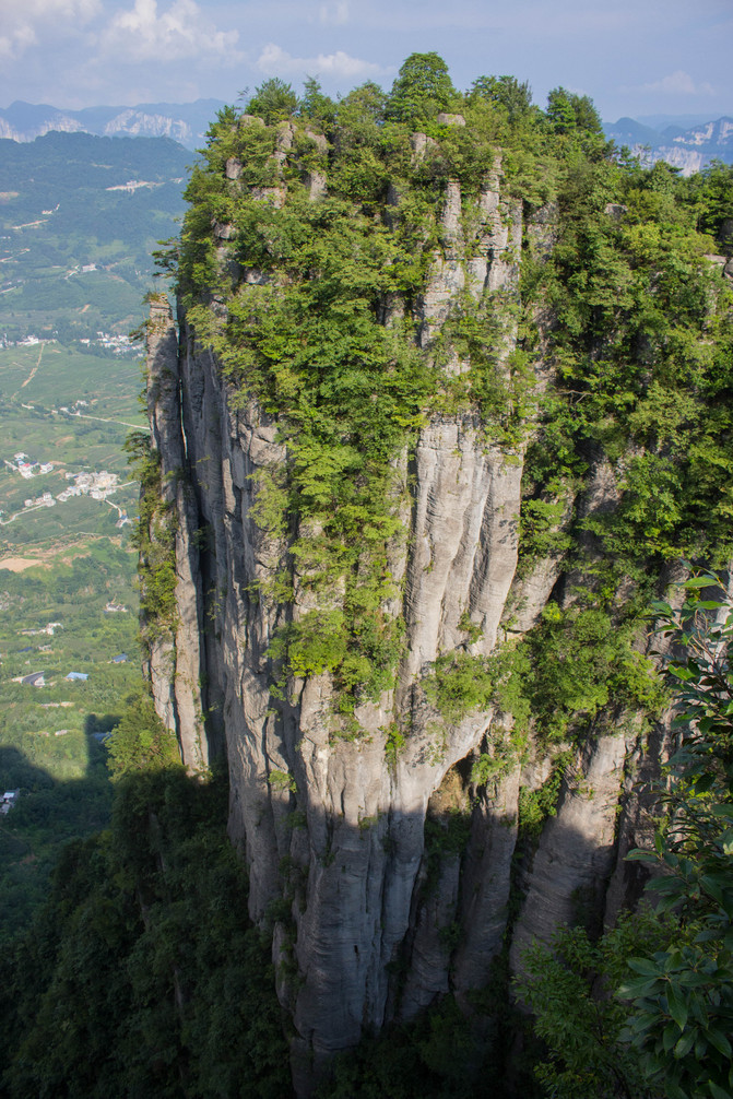
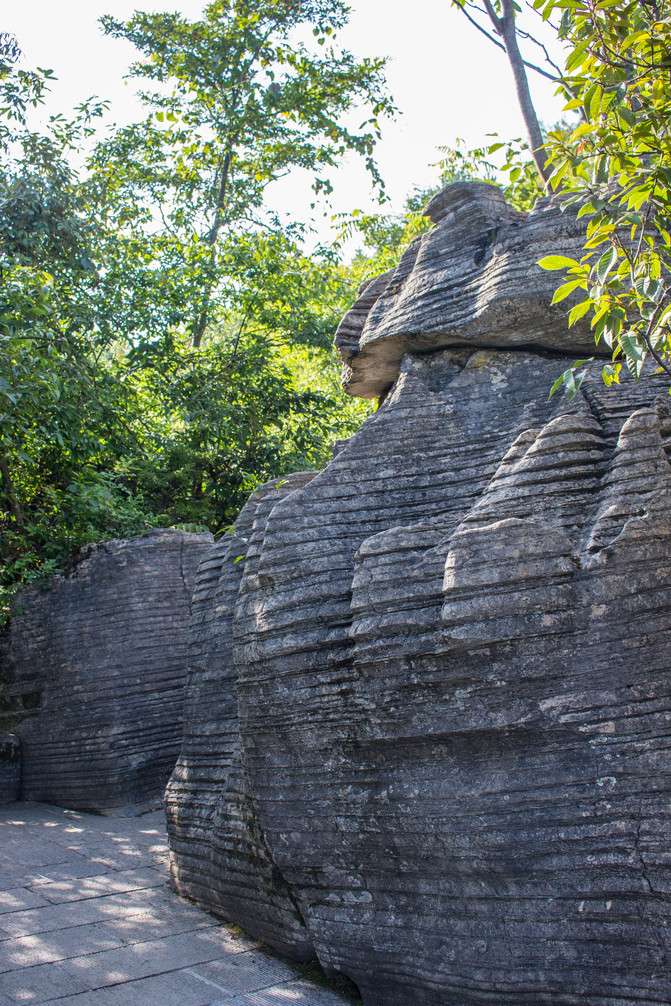
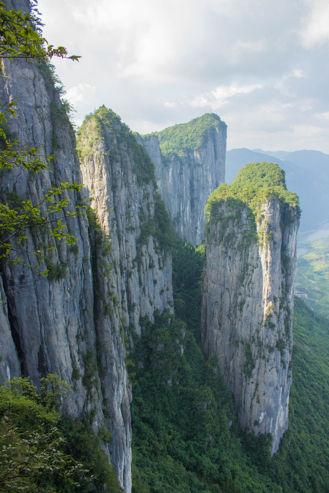
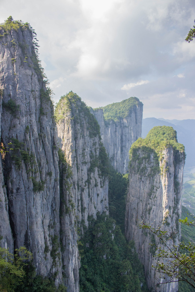
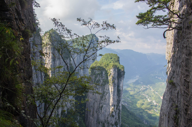
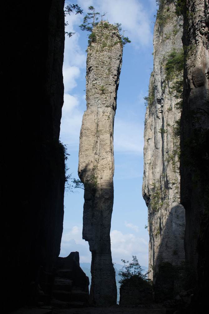
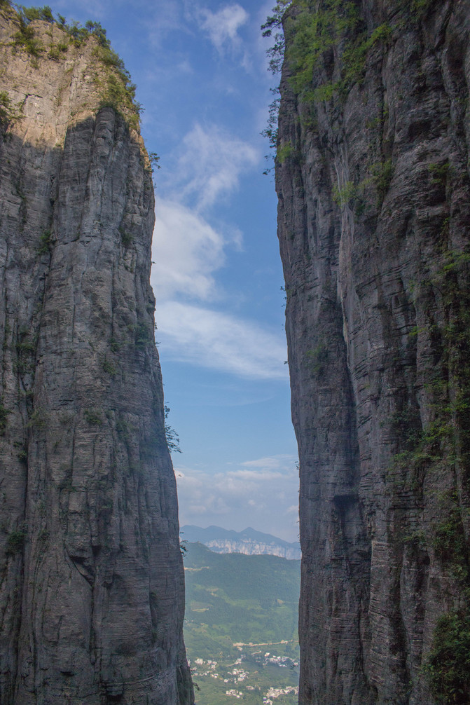
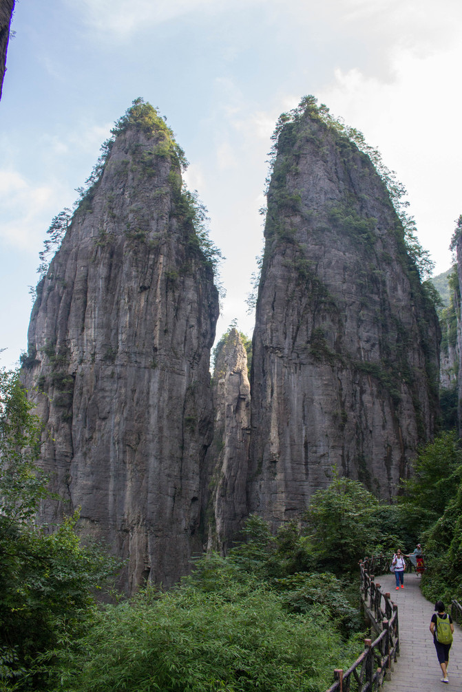
Qixingzhai is a typical mountainous landscape with karst landforms. Climbing the Seven Star Fortress along the cliff path, the view becomes increasingly broad and the scenery becomes more beautiful. Suddenly, a rock pillar grew from the cliff, standing alone and pointing straight into the blue sky, seemingly blocking our path. Turning around the peak, I finally passed through the cracks and reached the mountaintop. Looking down from a high altitude, the solitary peak is right in front of my eyes, and wild lilies bloom with pale yellow flowers on the peak. Enshi pine trees are diagonally inserted between the cracks in the rocks, with strong and winding branches. Looking into the distance, the shape of the road that came disappeared at the top of the mountain; The Qingjiang River flows through the canyon, heading towards Enshi City; The peaks on both sides of the strait rise and fall, with various postures; Various types of Tujia dwellings are scattered at the foot of the mountain, harmoniously coexisting with nature. The trail on the mountaintop has nine twists and eighteen bends, passing through stone forests, peak clusters, and cliff crevices. Walking slowly all the way, there are scenery along the way: "Hanging Coffin Rising High", "Cliff Plank Road", "Auspicious Cloud Torch", "Welcome Pine", "Elephant Head Mountain"... It takes about 2-3 hours. The sun is setting in the west, and the mountain road is descending. It seems that we have already returned home, but this is the moment to witness the miracle! Passing through the stone crevice, walking down the stone steps, one can hear the noisy voices ahead. Turning around a huge rock, my eyes suddenly lit up. I saw a stone pillar standing between two peaks, big on top and small on the bottom, like a stick of incense. The sun sets in the west, casting a slanting glow on the stone pillars, shining brightly. This is the iconic scenic spot 'Yi Zhu Xiang'. After passing the "incense stick", it becomes the "Twin Towers". The two peaks resemble the "Twin Towers" of Indonesia. Looking out from between the two towers, the Enshi Grand Canyon is draped in a golden veil under the sunset, truly "the land is so beautiful". Passing through the Twin Towers and witnessing the deep bond between mother and son, the family of three still felt unsatisfied and embarked on their journey back to Enshi City.


2.6 Enshi City.
It's already late to descend from Qixingzhai, but the booked homestay is in Enshi City and I have to drive there. That night, I stayed at a homestay near Hongxing Meikailong in Enshi, ate Tujia cuisine, and had plenty of food and drinks. The next day, visit the museum, Tusi City, and Daughter City, and walk to the nearby food street in the evening. I originally planned to find a high-end food restaurant, but was stopped by a roadside stall that grilled small yellow croaker. The small yellow croaker was crispy and delicious, probably "unprecedented and unparalleled".
This round of travel will reach Enshi City as far as possible, and then return to Wulong, passing through Chishui and returning to Leshan. Ctrip, Tujia, and Amap provide tremendous assistance.



Previous Article:Chongqing Cultural Landscape | Opening Method for Hidden Menu of Tongjing Hot Springs
Next Article:Searching for Impressions of Bashan and Shushui, Enjoying the Hotel
