The perfect guide to hiking Qingliang Peak
In November 2020, there was an outdoor hiking activity jointly organized by the Provincial Sports Bureau and the Forestry Bureau to "climb the 11 peaks around Zhejiang". Specifically, 11 mountaineering teams from 11 regions in Zhejiang also climbed the highest peak in each region. At that time, I was busy with work, and I discovered this activity from the circle of friends of the Changshan mountaineering captain, because Dalonggang, the highest peak in Quzhou, was in the territory where I worked. So I had the idea of finding an opportunity to climb all 11 peaks.
Huangmaojian in Lishui, the highest peak in Zhejiang, was climbed in 2009. It's about 3 hours up and down, which is not difficult; Dalonggang is on top of the Red Rock Peak and has been there twice. Then the first choice is Qingliang Peak, the most difficult. I made a lot of strategies and plans before going on, but I was still nervous, because usually hiking on weekends usually takes 3-5 hours, 5-8 kilometers, but this time it takes 13 hours, 18 kilometers., the altitude rises and falls 1200 meters, and I am afraid that my physical strength and legs can't stand it. Moreover, according to online information, there are many routes to Qingliang Peak, and people often get lost. The 2.20 Super Club public account saw a Hangzhou donkey surnamed Yang climbing Qingliang Peak alone on the second day of the first lunar month who was rescued and lost. There were people who lost their way and died before, which was very scary.
I couldn't meet anyone in several hiking groups or online, so I finally decided to go alone.
When selecting routes, if you want to choose the official routes recommended online, go back to the Longtang Protection Station. After all, safety comes first.
On February 22, I drove for more than three hours to ask for directions in Baiguo Village. The villagers said the directions were good, but they could only reach halfway up the mountain.Not allowed。Moreover, accommodation in Longtang was not available, so I chose the second option and took the Yinlongwu Ring Road, which was the most mentioned route in Zhejiang on the Internet.
Check into Yinlongwu Shimenxia Hotel when it is dark. I asked the store if there was any group accommodation to climb Qingliang Peak. The store said that there was a group, but they had just come from the Huihang Ancient Road and would not go to Qingliang Peak. The store doesn't know the route up the mountain, so it costs at least 300 yuan to ask for a guide. Forget it. Continuing with the online information, a terrain map is very good. I downloaded and saved it, and downloaded two satellite map software.
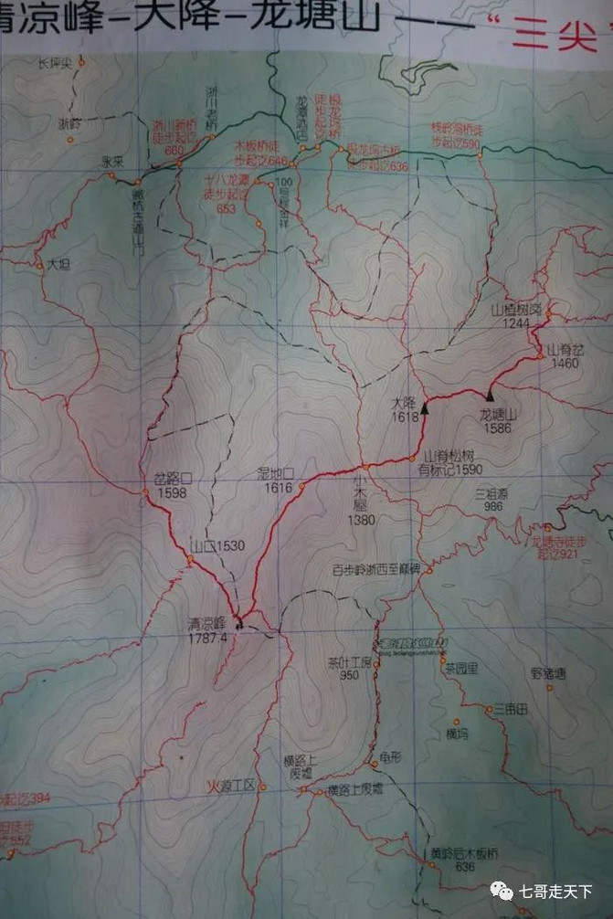
The alarm was set at 5 o'clock, and I was ready to leave at 5:30, but it was still dark at 5:30. I walked outside and went back to my room. I stayed up until 6 o'clock, and the sky was getting a little white, and I climbed out of the net. Below, the whole journey will be combined with pictures and texts to enjoy your friends.
At 6:00, the temperature is 6 degrees. The starting point is the bridgehead of Qingliang Peak Farmhouse in Yinlongwu. You can go to all three bridges in Yinlongwu. The key is to find the next point, Yinlongwu Water Supply Station.
6:10, Yinlongwu Water Supply Station, a white house at the highest point of the village. Go up the 50-centimeter cement road and pass through the pecan forest.
At 6:25, it was just dawn, the journey was 1.25 kilometers, and I rested for the first time. You can see a no mountain entry sign here. When you see this sign, you know that you have found the right route.

From up to the peak, it is all uphill. To return to the loop line, there is only one road. Just follow the footsteps of our predecessors. The previous worries are unnecessary, so this line is the most perfect line.
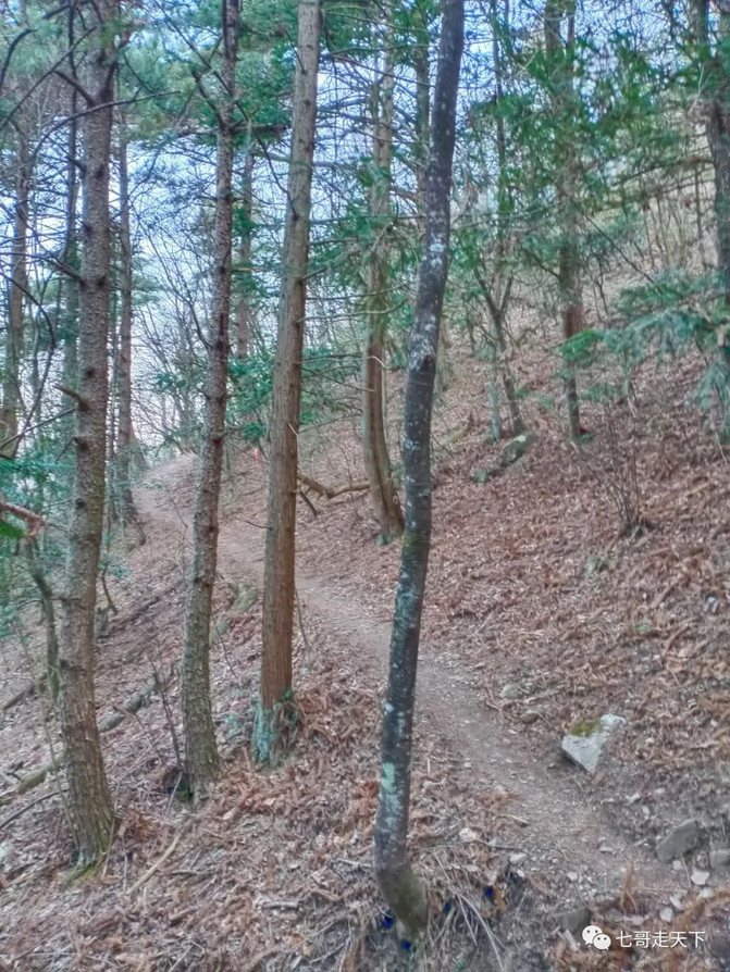
At 6:25, it is already dawn, take off your clothes, and go up. It is extremely steep within a hundred meters. It passes through the dense forest, crosses the stream, and obliquely penetrates the fir forest to the right to the first ridge line. Sweating through the back of my clothes, I rested for the second time. The altitude is 986 meters.
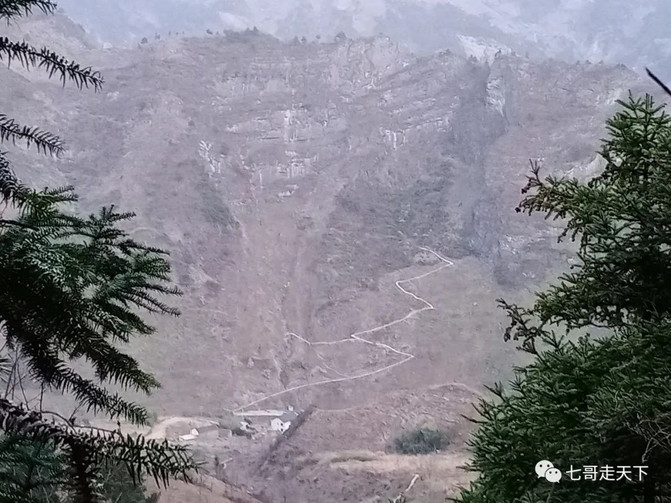

7:25, sunrise. Follow the ridge for more than 200 meters to the small platform.

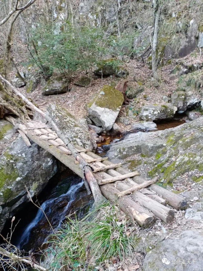
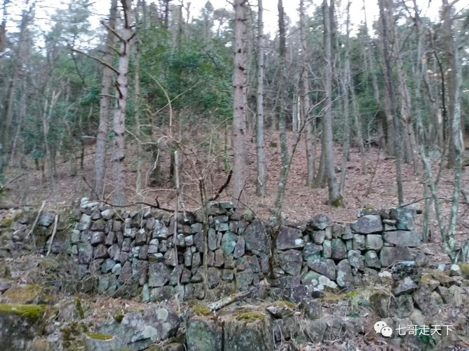
Shanpeng ruins


Crossing the mountain stream, passing through a 30-meter indocalamus bush, reaches the valley, which is the upper reaches of the Eighteen Dragon Pool.

After crossing the stream, the altitude rises slowly. At a point of 1218 meters, the source of the spring water next to the road should be the source of the Eighteen Dragon Pool. Go up fifty meters until you reach the mountain pass, and you just get the sun. 8:15 Third break. The altitude is 1400 meters and the distance is 6Km.

Opposite this mountain is Dongaotou.

A road is built up from Yakou. The official route overlaps with the route from Longtang Temple.

There are protection signs for Goddess Mulan and Southern Hemlock Ancient Tree Group along the road.
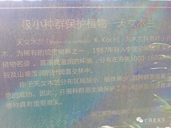

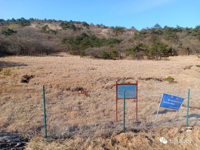

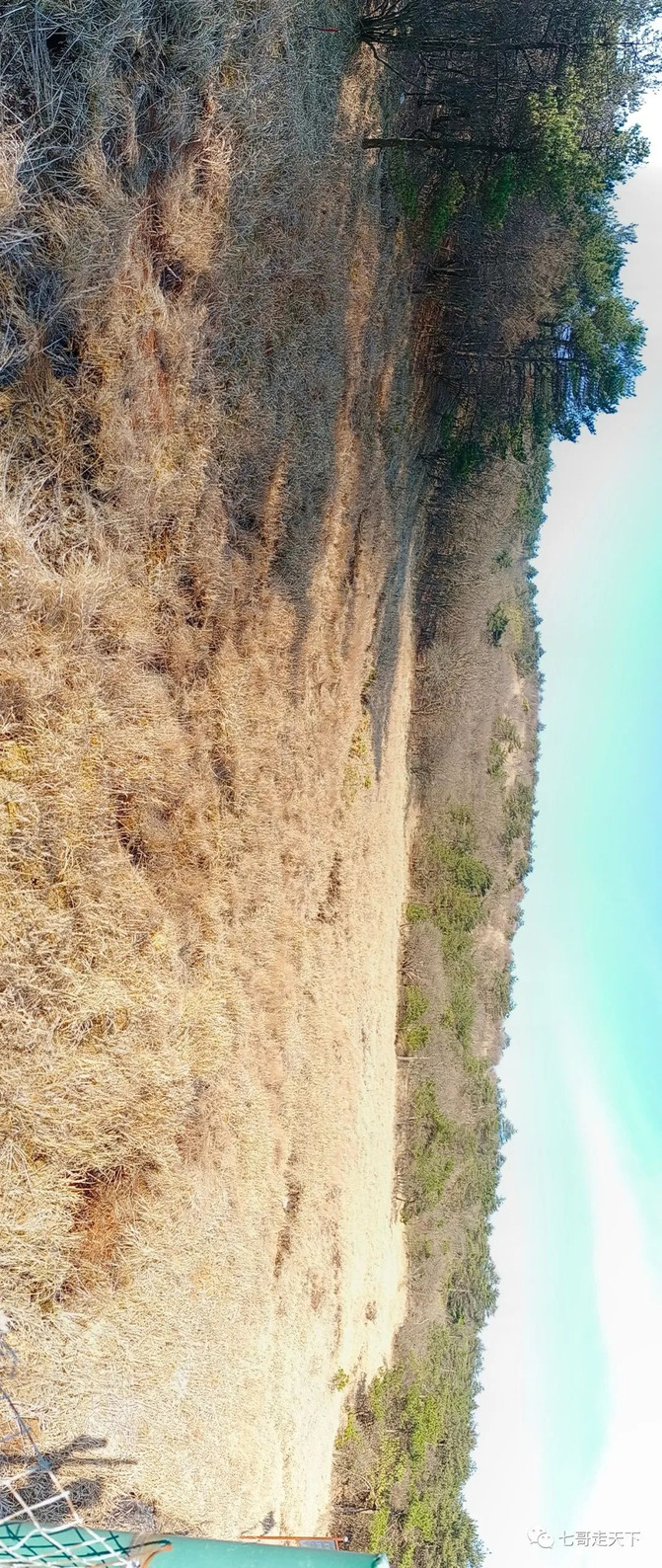

The dragon pool rises upwards, creating a maze of flowers.


The flat ridge runs through an ancient forest.


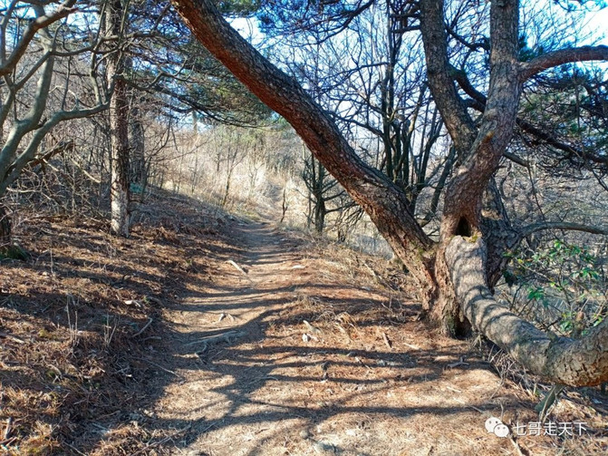
At 9:37, we arrived at the first attraction, Boots Stone, with an altitude of 1614 and a journey of 8.59Km. Fifth break.

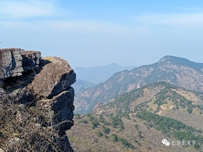
The opposite ridge is the way to go down the mountain.
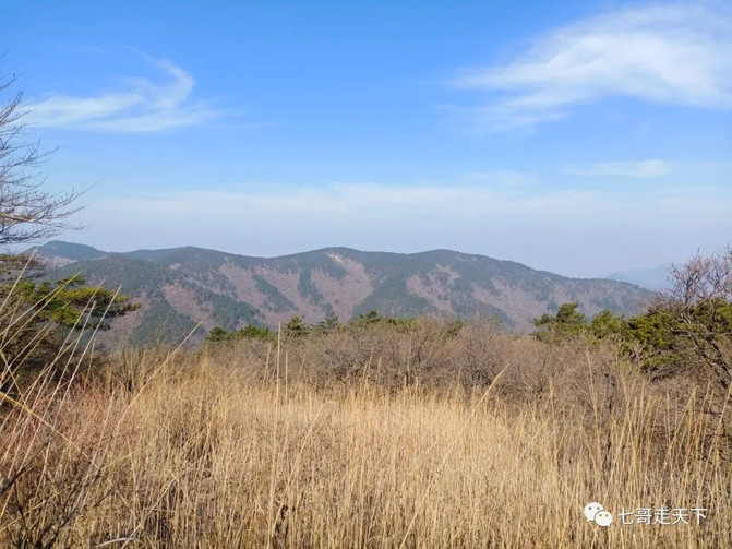

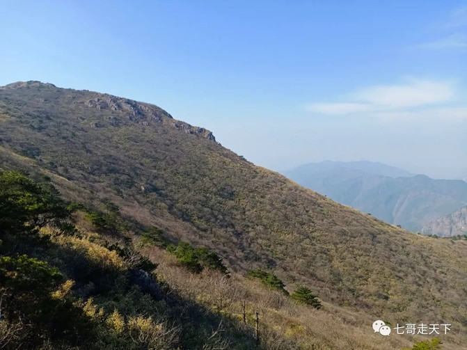
Look up at the summit.

Go up to Vientiane Stone. 730 meters from the summit.


The peak is near, near.

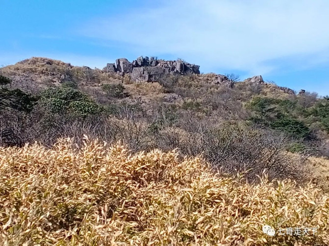
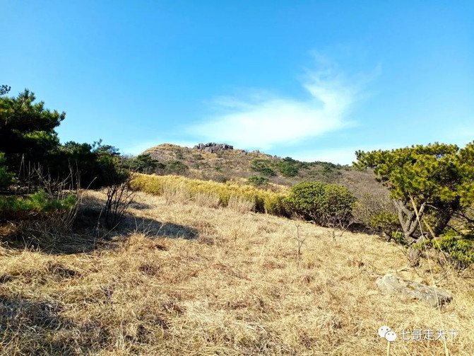
10:00, top. The altitude is 1,787.14M and the journey is 9.7KM.

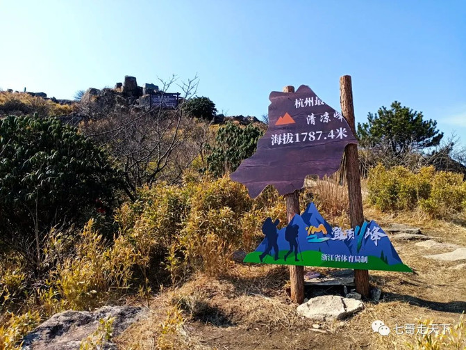
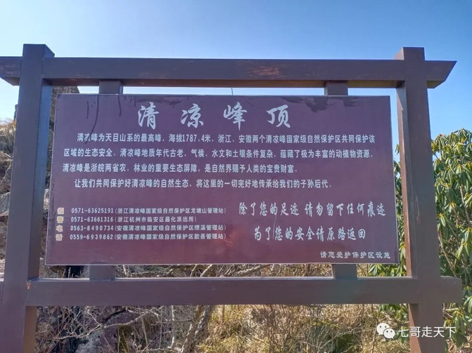


Peak scenery
Camping place


Withdraw at 11 o'clock. You must climb the stone formation on the opposite ridge, otherwise you will miss the divine seal stone behind it. It is not difficult or dangerous.

Valley towards Anhui


Close-up Caps Despair Slope
stone door opened


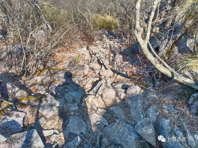
double pointed stone

Woniushi
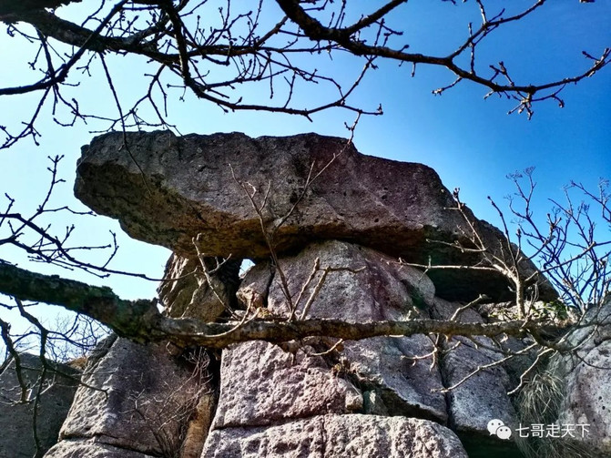

A 70-degree sand slope, with Polygonatum odoratum bushes in the east and grass in the west. Just walk through the grass.

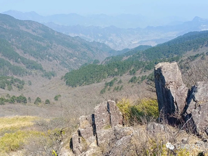
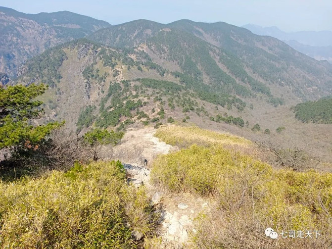


Lonely pine on the slope

Lonely pine looking at the valley

There are many withered pines under the desperate slope


Go up again and walk through the jade bamboo forest to the intersection of three forks? Coming from the southeast should be in the direction of Anhui.


Going up and down again, to the ridge, where the fence rock? Sixth rest at an altitude of 1613. Walking forward through the ancient pine forest is very comfortable to walk, and students who like to climb trees and take photos can show their skills.


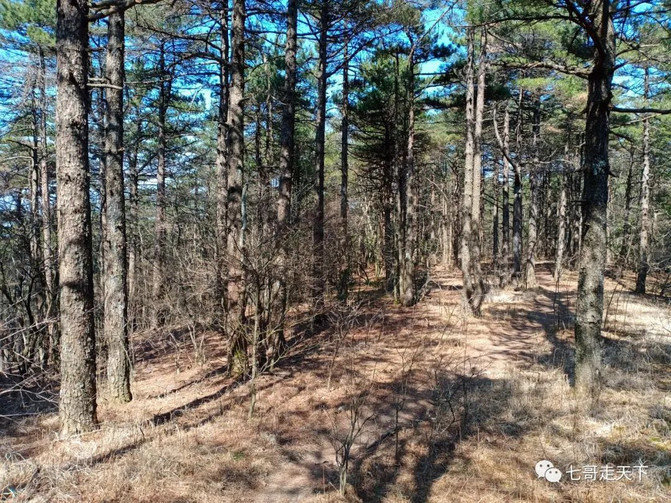


Arriving at Taipingjian, at an altitude of 1403 meters and a journey of 14.32 Km, I rested for the seventh time and sat under the big oak tree for 20 minutes. The front desk of Shimenxia Hotel called to inquire about the situation, which was very considerate. You must rest here, otherwise if you go further down, it will be all steep slopes and there will be no place to sit.
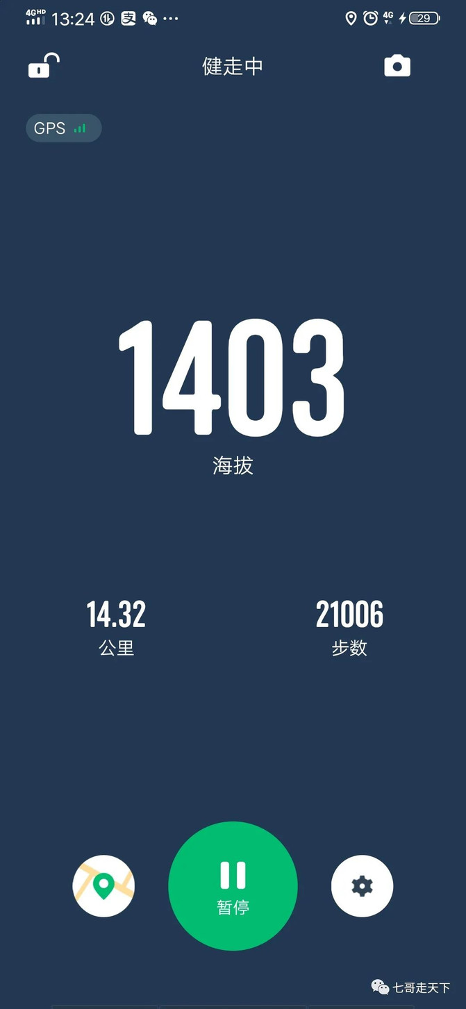
Taipingjian descends to the kiln? The altitude drops by 300 meters, all of which are steep slopes. This desperate slope is even more desperate and very tests the power of the knees.
Pile 25 in the reserve has an altitude of 1306 meters and a travel distance of 16.25Km. Down the side, the mountainside slopes upwards again. Then the steep slope goes straight down to the kiln.

At the critical moment, the critical point has arrived.
Pile 24 in the reserve has an altitude of 1125 meters and a travel distance of 17.14Km.
Xiaoyakou, to the left is a straight road, which should lead to Zhejiang and Sichuan. It's a long way to go back to Shimenxia Hotel from Zhechuan.
At this time, the advantages of the mountain people were fully demonstrated.
It can be seen from the map that the straight-line distance of the hotel is only 500 meters, and the height difference is also 500 meters.
Based on experience, I think that there should be a way to get off to the right. Try looking down, and sure enough.


Less than 20 meters down, I saw the outdoor road guide, which made me feel relieved. Further down, there is land that has not been planted for many years. If there is land, of course there is a road. There is pecan forest.
This section of the road leads straight down to the Eighteen Dragon Pool, with a slope of more than 45 degrees and less than a foot wide. The road is covered with fir tree leaves and thorns, and no one has walked it for a long time. Judging from the road guide, at least five or six outdoor teams have passed by.


At the bottom of the valley, it is located above the Dragon Gate of the Eighteen Dragon Pool. The white house opposite is the Qingliang Guild Hall.

At this point, the refreshing peak loop was successfully completed. The time was exactly three o'clock in the afternoon, and it took nine hours, 4 hours for both upper and lower, and one hour for taking photos at the summit. The journey was 18.15Km. The first break was suspended, and more than half a kilometer was not counted.
This road is the most perfect. First, it is safe. There is only one road up and down, and you won't get lost when walking around. The second is to save time and effort. If we go the other way around, the 3Km below Taipingjian and the Despair Slope will be too strenuous, and we will have to go up and down halfway, which will take at least an hour and a half. The third is to go straight down to the Eighteen Dragon Pools. If you have the strength, you can swim.
The key here is Pile 24 that must be remembered.
Seeing that it was still early and there was still room to spare, I took a trip upwards to the Eighteen Dragon Pools and enjoyed the following photos together.
The Eighteen Dragon Pool is very beautiful. It will definitely be great to trace the river in summer. Photographers who like to take water will definitely be able to take satisfactory blockbusters.

Xiaobian, Ctrip travel pictures could not be passed, so he had to copy them from his public account.
Previous Article:There is a paradise called "Fuchun Mountain Residence"
Next Article:This summer, we hugged each other with the mountains and lakes, and lived in Huili to ride the wind and waves.
