Yellow River and Yangtze River Watershed--One-day Tour on the Qinling Mountains
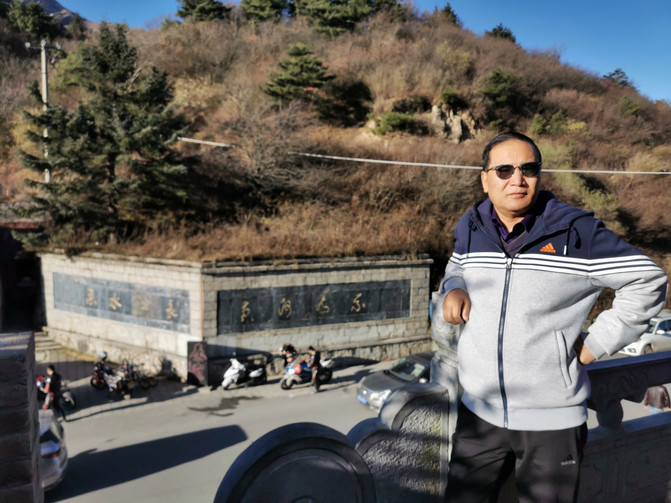
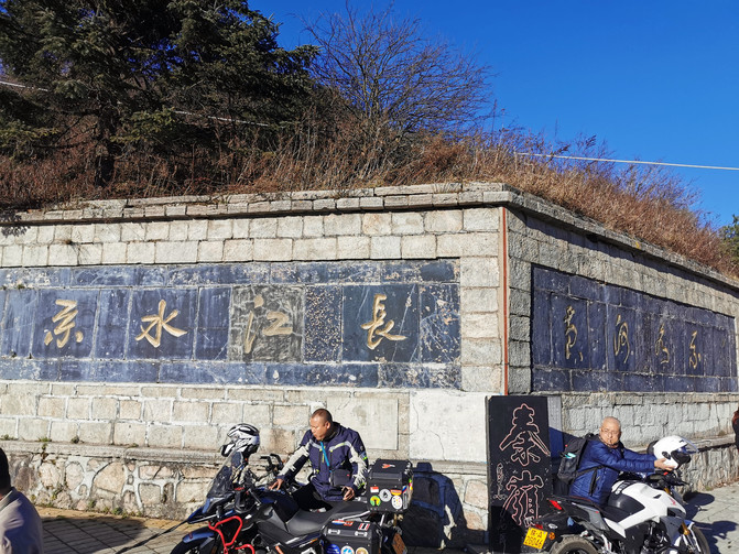
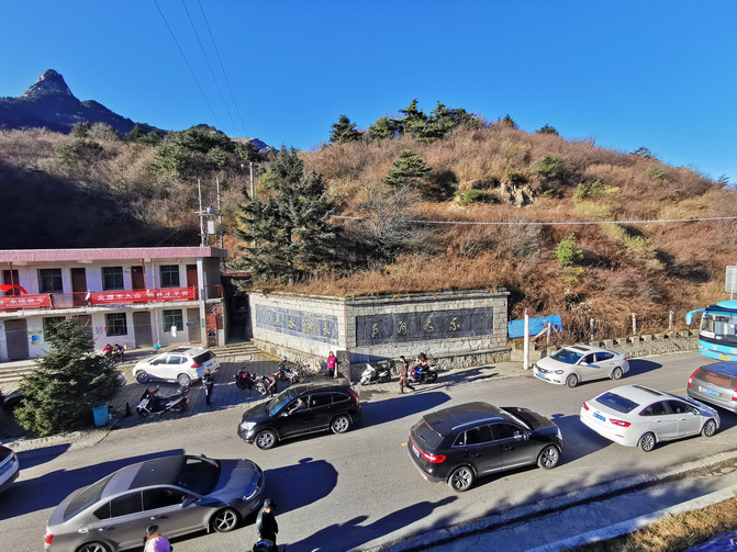
The sun is shining in autumn, the weather is clear, the blue sky and white clouds, a rare good day. Zhu and his family drove to the "Qinling Mountains, Yellow River and Yangtze River Watershed" they had heard of. The watershed, as the name suggests, divides water areas. To the south of the watershed are the Yangtze River waters and to the north are the Yellow River waters.
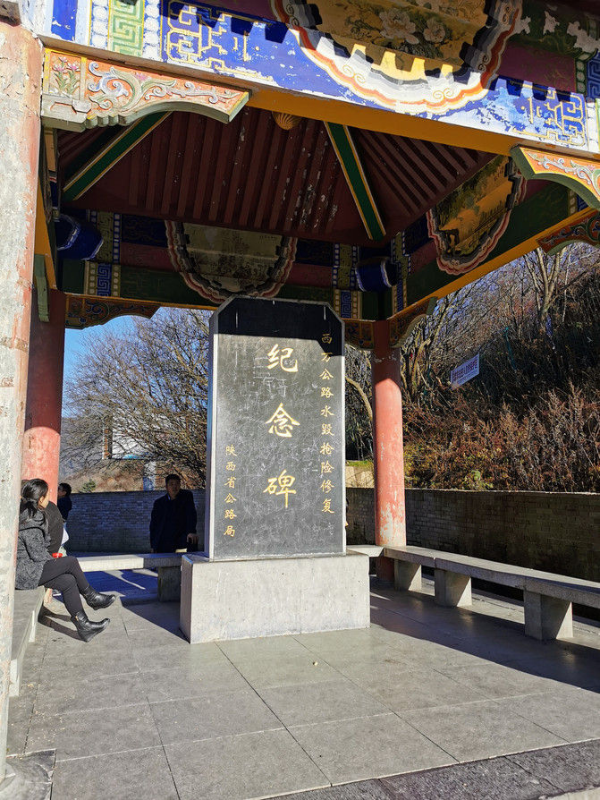
Drive for an hour and head south smoothly, from the northern slope of the Qinling Mountains to the Fengyu Mountain Pass and up the mountainous road to the top of the mountain. Go up the G210 National Highway and pass the highest point of the Qinling Mountains for about 33 kilometers. It is located at 997 kilometers away from the G210 National Highway and 65 kilometers away from the center of Xi'an City, of which about 28 kilometers are all uphill sections with an altitude of 2100 meters.
Seeing the marks on the Qinling Mountains and the marks on both sides of the Yellow River system and the Yangtze River system, I saw that various trees had begun to lose their leaves, some of which were already dry branches, and the autumn scenery was obvious. Because it is located in the Qinling Mountains, and the highway goes up along the river, there are mountains and rivers, and the scenery along the way is charming. There were also many high-rise buildings, courtyards, and villas along the way. Illegal buildings had been shelved and the buildings were empty. Resources have been wasted and mountains, rivers, trees and cultivated land have been destroyed, and further improvement is also needed.
The Qinling Mountains are an east-west mountain range that runs across central China. It is about 1600 kilometers long. It is the watershed between the Wei River, a tributary of the Yellow River, and the Jialing River and Han River, a tributary of the Yangtze River.
The temperature, climate, and topography between the north and south of the Qinling Mountains all show differential changes. The Qinling Mountains and Huaihe River line has become the most important north-south dividing line in China's geography.
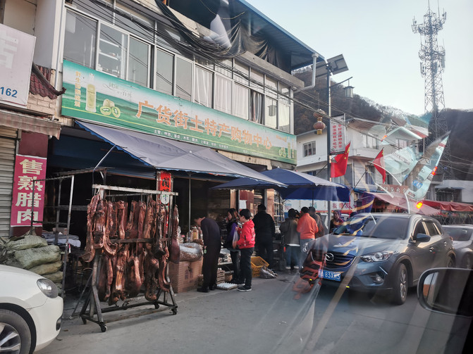
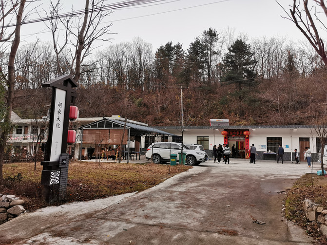
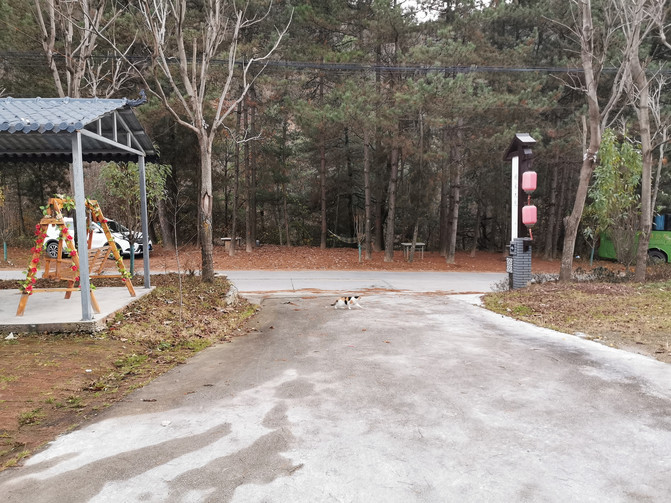
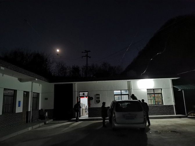
We played on the mountain and took photos for an hour. In order to prevent traffic jams, we drove over the mountain to the bottom of the slope, entered Guanghuo Street in Ningshan County, Ankang, and then detour through the ditch scenic area and then to Zhuque Forest Park. Due to the demolition of the illegally built Qinling Farmhouse, it was already very difficult to find, so we finally found a farmhouse here, and we had dinner at 20 yuan per person. Drive for an hour along the mountainous road to the northeast, enter the Xi'an City Ring Expressway, and return home with a toll of 10 yuan.
Previous Article:What if I don't have enough vacation balance? Directly hit Bailucang 2020 National Day variety show ceremony
